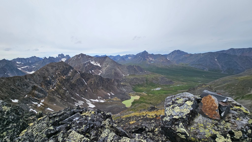
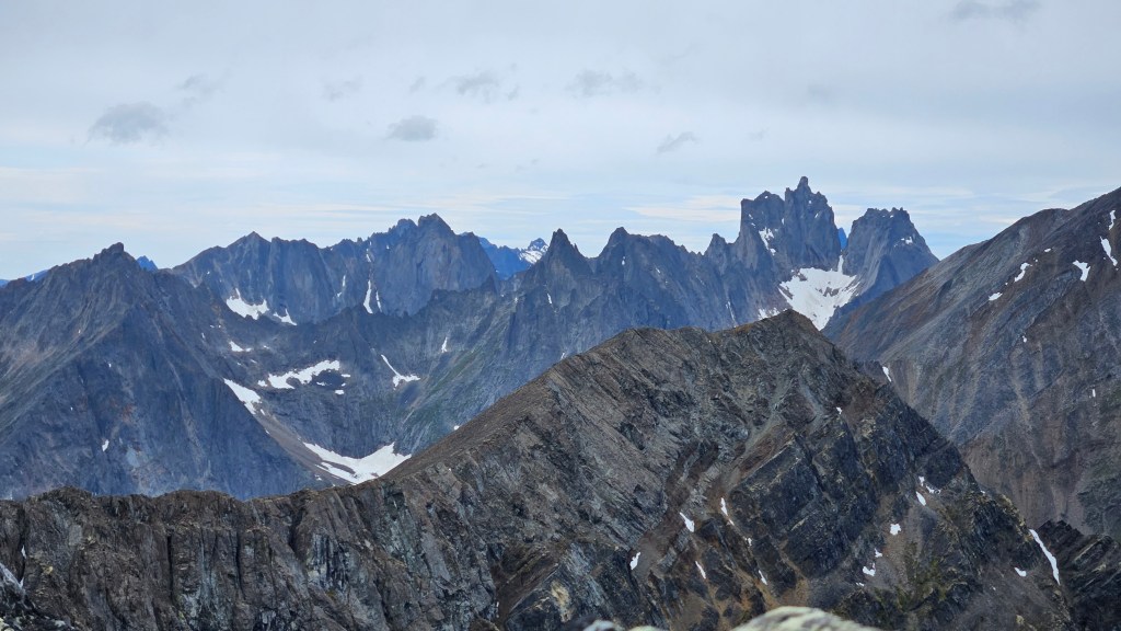
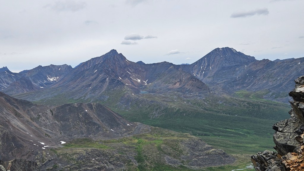
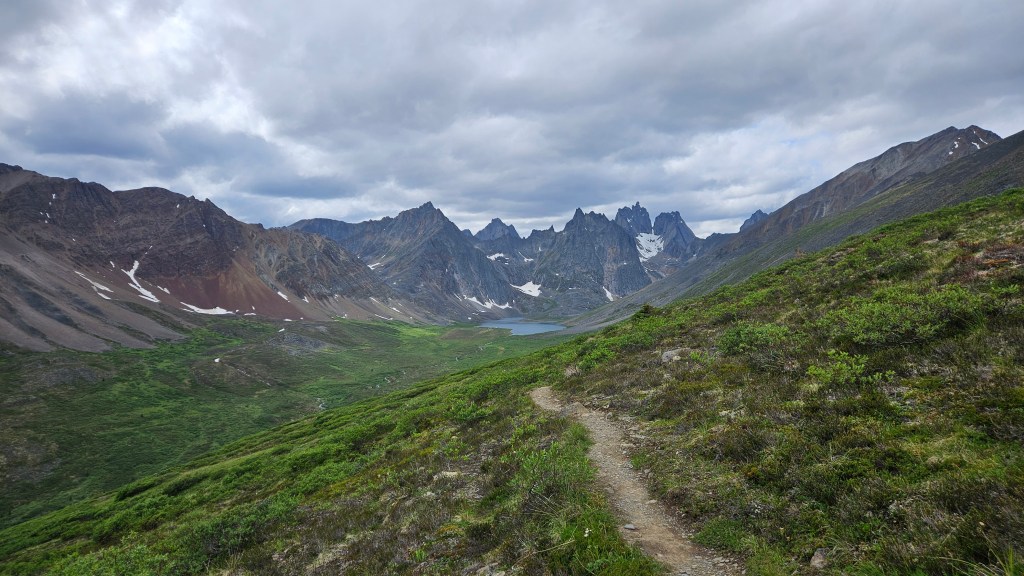
July 14th, 2026. Tombstone Territorial Park, Yukon.
Round Trip: 3h 45m*, Elevation Gain: +300m from Glissade Pass
Mostly Ridge Hiking; brief easy/moderate scrambling
This was a fun and scenic side quest during our multi-day trekking trip into Yukon’s Tombstone Territorial Park, which I may end up writing a separate trip report for. Axeman Peak is a high point along the ridge to the east of Glissade Pass, and on some maps appears as Rockcandy Mountain. The physical topo map for Tombstone however places Rockcandy Moutnain’s summit as a different ridge slightly north of where I ended up, thus I have used the unofficial name Axeman Peak for this trip report.
*My Garmin Instinct recorded +330m total elevation from Glissade Pass to the summit, which reflects the elevation loss and regain after the first initial unnamed peak. Hard to say how accurate this actually is given that my watch notoriously undercuts elevation readings. With that said counting the topo lines on the map it looks like the vertical gain was a more modest 250m. If one counts the vertical from Divide Lake, where my day began, the total vertical is closer to +800m. As for the round trip time, I recorded the time trip from Glissade Pass and to Grizzly Lake. I did take an alternative descent route as to hike back along the main trail, though I imagine round trip times via the ridge would make for similar time frames. For the average peak bagger, I would suggest 3-4 hours RT pending on how heavy your pack is.
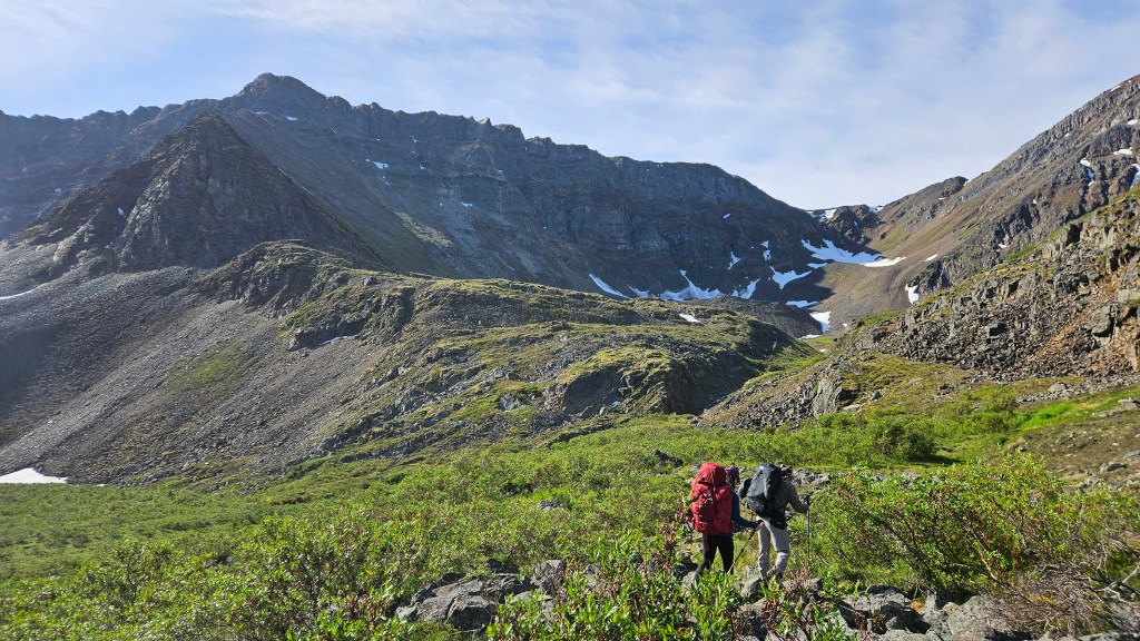
Bri and I had briefly explored the first leg of this ridgeline on day two of our trip when on route to Divide Lake from Grizzly Lake. Having not reached the summit, I was keen to explore further along the ridge the following day on return to Grizzly Lake for the final night of the trip. I reckoned it would be an additional hour from where Bri and I had previously ventured, though it ended up being slightly longer than that. Bri and Kris opted out of this side quest, wanting to preserve their energy for the following day’s hike out, and gave me a 5 hour time window before hitting the panic button. It had rained earlier in the day too, with more dark clouds on the horizon, so I pushed on solo at a slightly faster than normal pace for this adventure knowing it was a limited window.
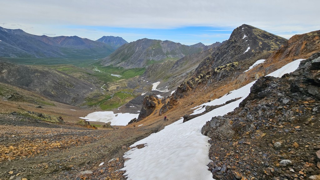
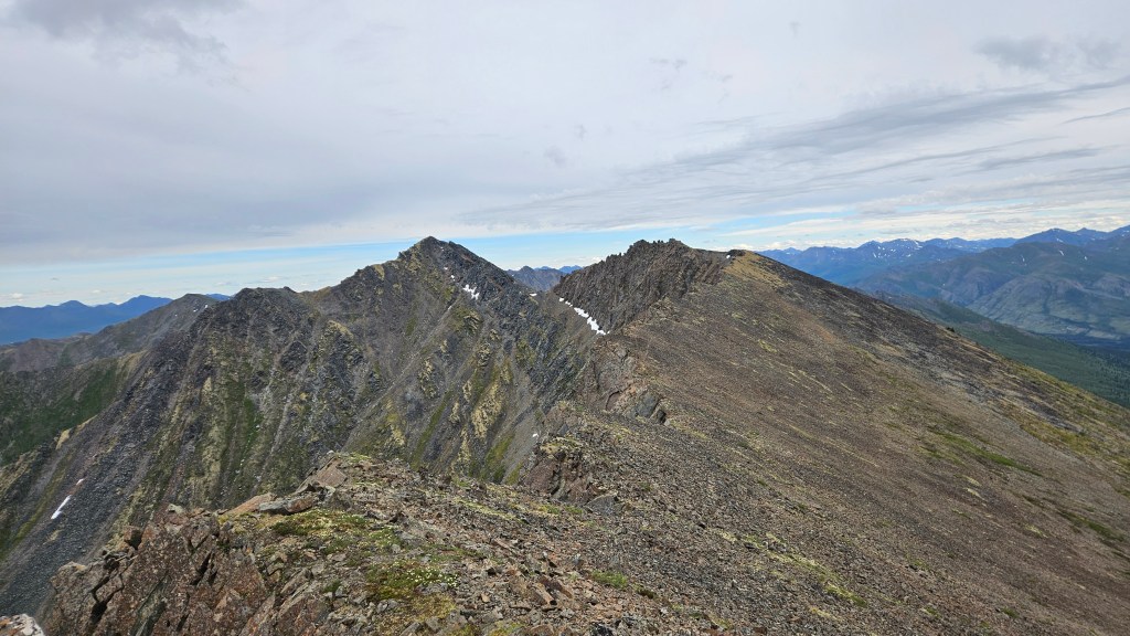
There is a faint unofficial trail up the initial unnamed peak a the ridge’s beginning, which on both trips took 30 minutes to hike up from the pass. Beyond this initial high point the trail continues below the ridge crest across the south slope’s talus. For the most part this is still a hike and not yet a scramble.
The next section of ridge is landmarked by a studding of small pinnacles. The pinnacles themselves appear shattered and fragile when close up, and are quite exposed on the north side. I opted to sidehill underneath them on the southeast side instead as to avoid unnecessary exposure. This slope was mostly comprised of shattered rubble with minimal falling risk, though I did end up scrambling across at least one slightly exposed ledge (class II) and had to briefly route find a way down to the saddle between the pinnacles and false summit.
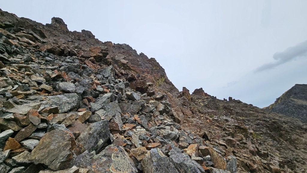
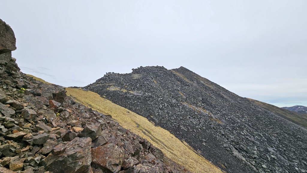
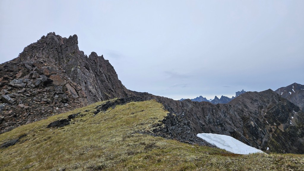
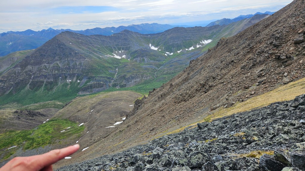
A couple cairns awaited me at the saddle and the route was quite obvious up to the false summit, with faint traces of a footpath resuming towards the main summit. The summit push was mostly a boulder hopping effort (easy scrambling) with a couple slabby sections worth avoiding. I made the summit in just under 2 hours from Glissade Pass, marked with a small cairn. The wet weather had held though the winds were quite chilled so I kept the summit visit brief. I could see the main trail underneath me, so took a slide path down (a fun scree ski) which deposited me into a boulder field just north of the trail. A few minutes of boulder hopping later I was back on the trail and hastened my return to camp. A couple days later in Dawson we met a few people that had watched my descent off the false summit from the main trail… Apparently it looked quite rowdy from below! Back on the trail I enjoyed a peaceful and dry brisk hike back to the campground, encountering a few people on their hike out. Luckily no bear encounters, supposedly there was a mama grizz with cubs in the area that week.