September 27th 2026. Yoho National Park, BC.
Round Trip: 8 hours. Elevation Gain: +1300m
Moderate Scramble; post holing; brief 3rd class scramble towards summit
I’d being eyeing this peak for a few years having previously considered it an extension of the Paget North Peak traverse. My interest was renewed in 2023 having gone up Mount Ogden and having repeated Paget North, from both peaks I became slowly obsessed with trying to map a route up from Niles Meadow. In 2025 I caved-in and subscribed to Bivouac.com which is where I first learnt of the name Bath Peak. I believe Bivouac lists the height around 2860m. PeakVisor labels it as Paget Peak NW2.4 at 2892m. So far these are the only two maps I’ve seen with any name whatsoever for this unofficial peak between Paget North and Mt Daly. Fun fact: The banner on the trip report page for this here blog is a wide angle photo of Bath Peak & Paget North. Point being, its been on radar for a while.
You can imagine my delight and surprise then this summer when Vern of Explor8ion posted a recent trip report up this very same Bath Peak, and listed the height at 2883m. Without his report, its unlikely we would have gone for this objective and if we had, we would have likely made things much harder on ourselves as Scott & I had previously contemplated the NW slope from Niles Meadow. Vern, who was following Devan Peterson’s snowshoe track, instead went via the SW slope. That was reassuring to read given that the west Rockies had a decent dusting of snow leading up to the trip. Somewhat last minute then, I managed to convince Scott and Nathan to join me in repeating Vern’s route on September 27th. Oh and Scott’s dog Ronnie too, of course!
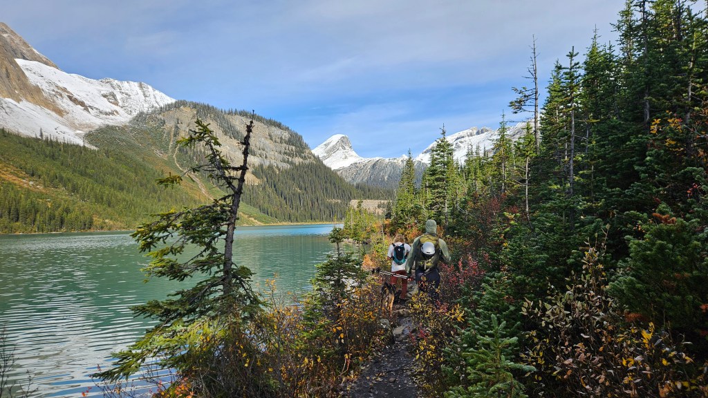
We had a late start for this one as Nathan got stuck in major construction delays out of Revelstoke and Scott had worked a late night shift… so our journey out of the Sherbrooke Lake parking lot didn’t commence until 10:20am. The amount of September snow coverage caught us off-guard and admittedly Bath Peak was actually our second pick, with the shorter time window / late start we had first considered Mount Bosworth. Early on into the drive we noted the snow coverage and settled on Bath Peak instead. We deemed the crux on Bosworth as undoable in the snowy conditions and felt Bath was the safer option, especially with a doggo.
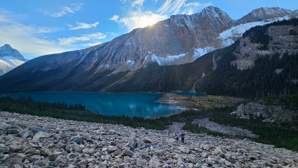
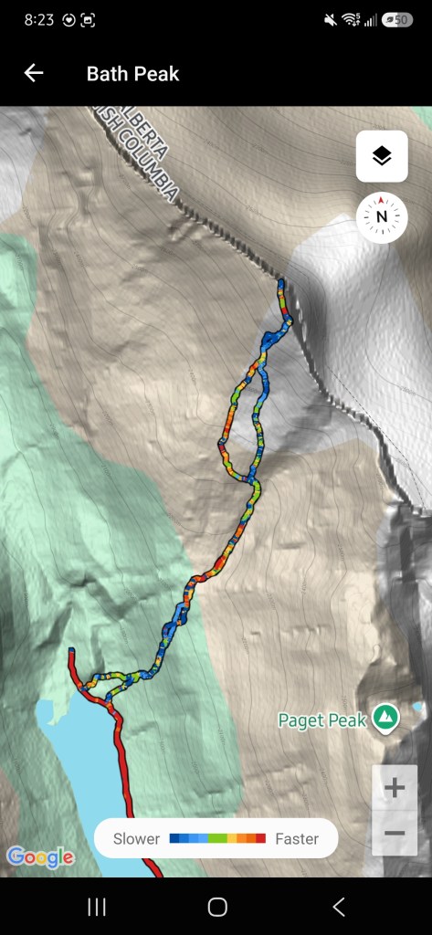
The initial approach is along the Sherbrooke Lake trail, we set off at brisk pace along this to make up for the late start. Just before the decommissioned trail sign at the back of the lake there is a large boulder field to the east, slightly grown in along the edges. Scott assumed we were going via the meadows so we had powered right past this landmark. Until I stopped and did a quick map check, referring to screenshots I took of Vern’s report, noting this clearing on the topo map lined up with where Vern’s track had left the main trail. So, I chased down the Aussies and we adjusted course back to the trail sign and left the trail (east) through the trees for the boulder field. The boulder field itself involved easy scrambling as we skirted the edge of treeline and quickly gained a couple hundred meters of vertical. Above this field we trended to the climber’s left briefly through trees again and encountered a natural weakness in the cliff face. It was partly snow covered which made for a few committing moves, in dry conditions it would be easy-moderate (which was dry on return).
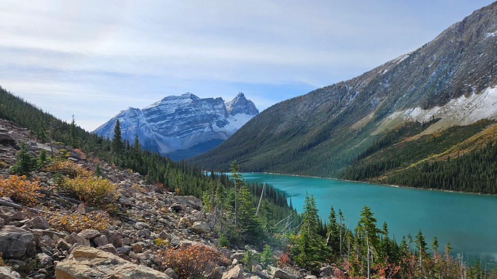
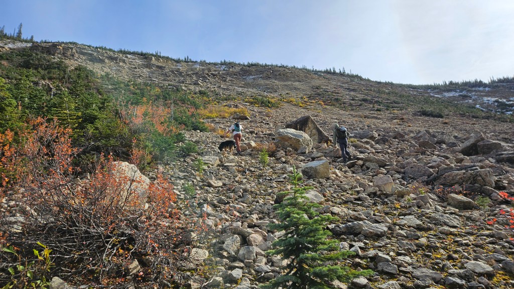
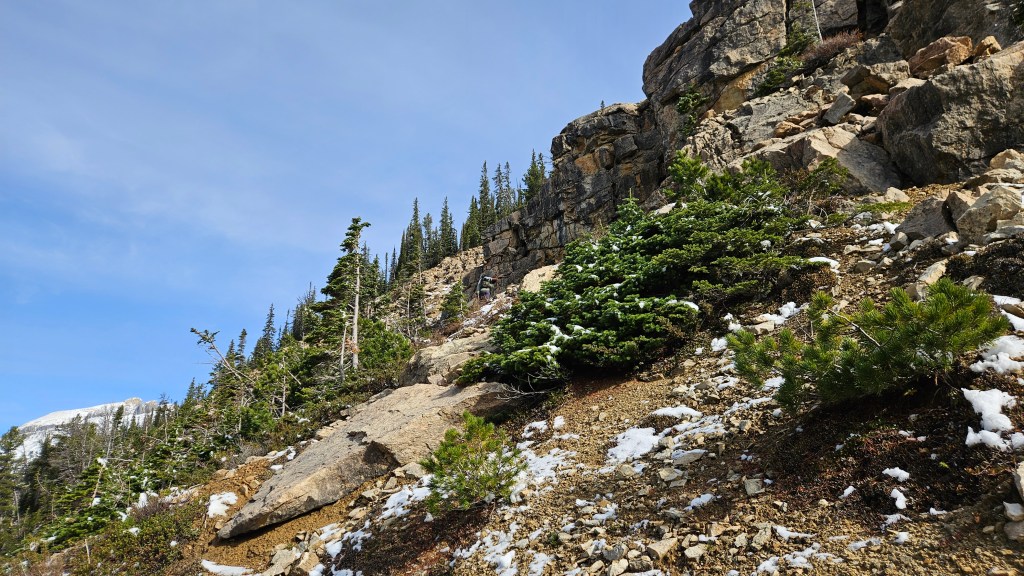
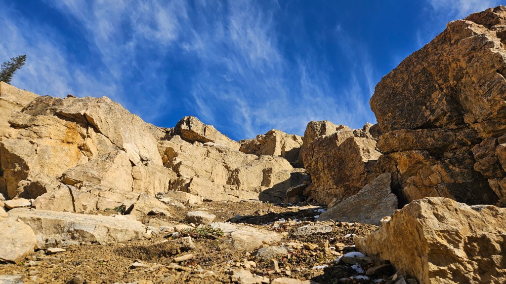
After a brief hands on scramble through the cliff band we found ourselves trending left through light to moderately dense trees. The branches were dripping in snow melt from the midday sun and we weren’t quite post-holing at this stage. Scott led the way out of the trees into a natural clearing, and right away exclaimed “oh shit boys, we might get shut down. Check out the grizzly tracks!”. He was not joking, there were tracks as fresh as ours leading out from the trees and up the drainage. Not just grizzly, but also wolf tracks and some form of feline; all three sets seemed to be following hoof tracks, maybe a goat or bighorn sheep. It was quite the scene left behind in the snow, I reached for my phone in my pack’s side pocket to capture it but discovered it had fallen out when we left the trees! Thankfully, I only had to back track maybe 50m to find where it had landed above the snow… phew!
We cautiously continued up the basin following the bear tracks at first. Ronnie could definitely smell it but thankfully we never caught up to it or the other apex predators. The tracks, once all interwoven, made a sharp turn into the trees to our left. Thus, we wisely chose to avoid this second treed section altogether and boulder hop our way up the basin, trending slightly left towards what I assume was the rib used in Vern’s report. This was also our first good look at Bath Peak and most of the ascent slope. It was certainly snowy, and I think we all proceeded with the mindset of “okay, let’s see how far we get today”. Worth nothing that from the lower reaches of this basin, one could also scramble up to Paget North Peak but any further up the basin would be impassible as a scramble due to sheer cliff bands.
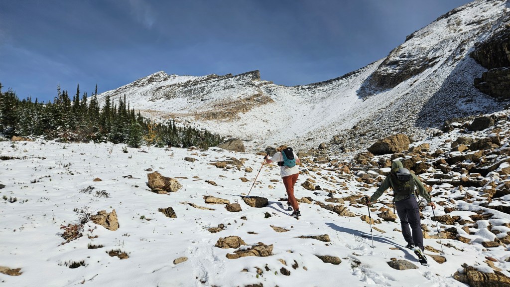
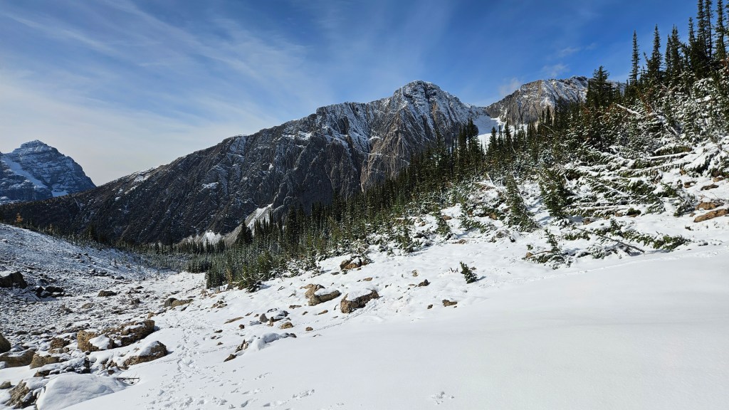
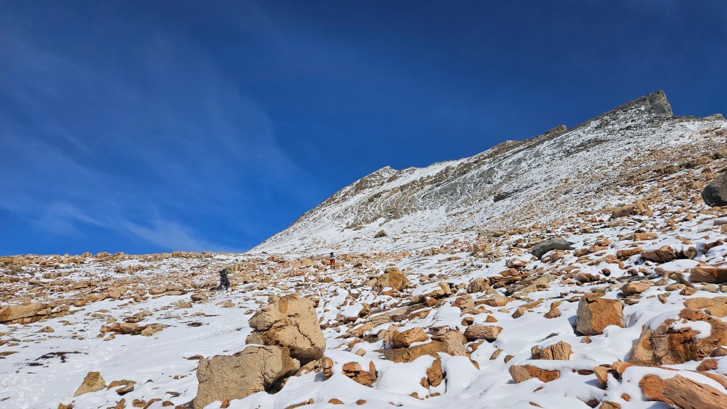
Having plodded up the basin we were now at the light brown rubble section. The snow was becoming deeper now, enough so that we were post-holing in spots. We continued to the climber’s left ascending the SW slope, though later discovered we were slightly off from Vern’s track. Our route was slightly to the north of a scree gully, plodding up steep snow slickened shale litter. We spent most of the ascent wondering out loud if the snow was helping or making things worse. I’m of the opinion the snow was helpful lower on the slope but made the upper reaches spicier than need be. A few small but slick slabs were hidden beneath the slushy snow around the 2500m to 2600m mark, which became precarious as we continued up towards another cliff band. The bluebird day was also becoming noticeably colder in this same stretch.
Scott and Ronnie trended to the climber’s right, skirting beneath the cliff band and eventually entered a loose gully (here the snow was firmer and helpful again). Nathan attempted scrambling the cliff band head on but a few meters up yelled back that it was dog-shit, indicating he would next side hill into the gully Scott used. I opted to follow Scott’s tracks in the snow, which worked until I encountered a steep corner and shallow ledge adjacent to the gully. A lot of the post-holes melted out as I stepped through, and several of the foot holds fell out altogether. This corner ledge proved to be a crux, it was too wet to scramble upright and too tight of an overhang to side-hill. I very nearly gave up here due to the deteriorating footing. A fall wouldn’t have been fatal per se, but a slip would have certainly been crippling. After battling a few demons, I used my hiking pole to dig out some the debris on the ledge; this filled in one of the footholds that had caved out and also cleared the ledge enough for me to army crawl across.
It ate up enough time that Scott & Nathan had practically summitted and doubled back to see what had happened to me. I certainly did not want to back-track that section, so stubbornly committed to this shitty corner and scrambled my way up into the gully. In snow-free conditions I imagine this ledge would have been avoidable, and indeed we avoided it on descent.
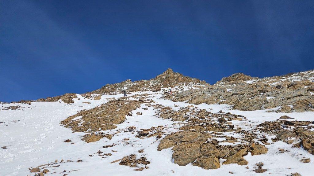
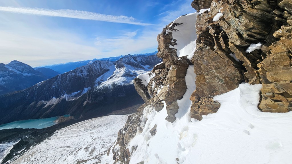
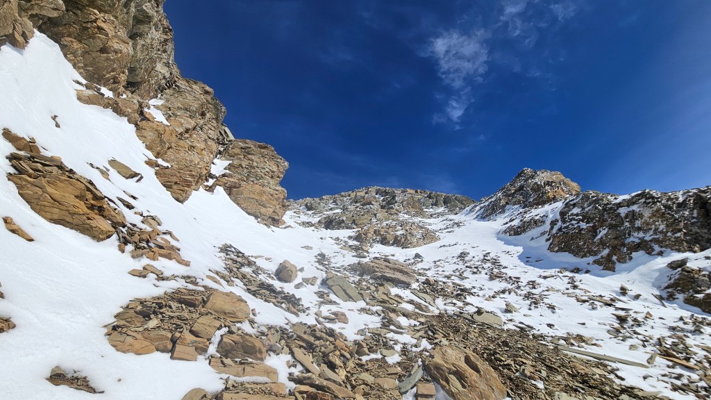
Past that ledge and now into the gully the temperature dropped drastically and we donned our puffies. The gully was relentlessly steep but contained loose treadmill scree so in an odd sense felt more secure than the previous section. After a brief slog up the gully we had reached the ridge crest. Ronnie seemed a bit stressed as Scott back tracked down this section to see how Nathan and I were doing, regrouped we tackled the ridge crest almost head on, staying slightly to the climber’s left. Definitely a few 3rd class moves with decent exposure though I think here the snow made things feel spicier than they actually are. It certainly made for some great photos!
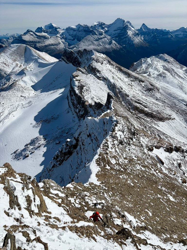
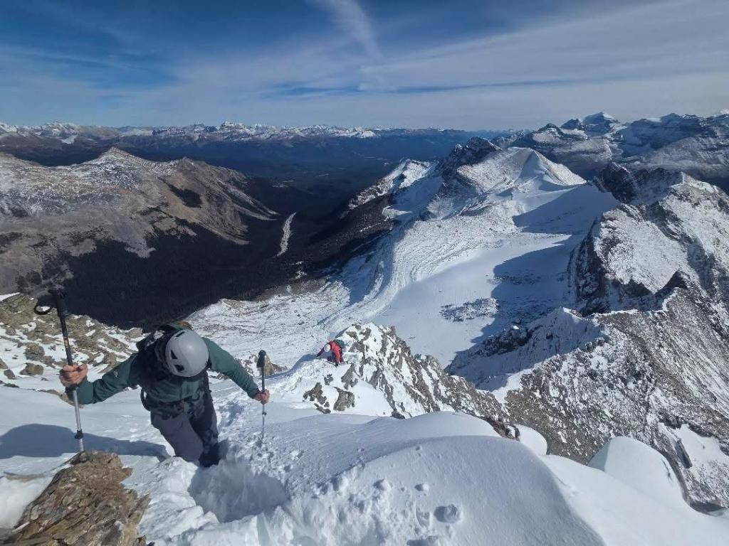
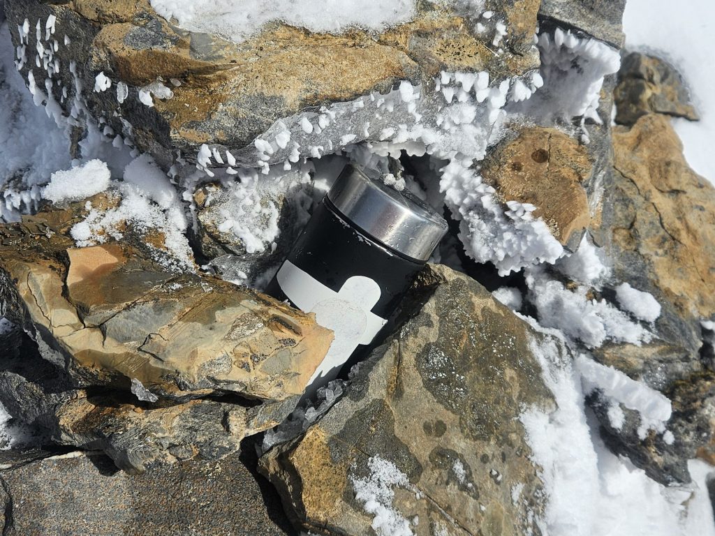
The final 10-15 minutes were a pleasant, flat-ish stroll to the summit. Having read in Vern’s report from July that there was no register present, I had prepared a homemade summit register and gleefully placed it within the small summit cairn, building it up with a few additional rocks. The windchill was bitter, likely pushing -9C, and it was already after 3pm so we kept the summit visit brief. Plus we all had wet feet from the slush-like snow conditions. Downclimbing the ridge back to the gully was the spiciest part of the return, and was the one spot where I wish I had brought an ice axe. We ended up front pointing / boot packing our way down the initial section before crab climbing down the last few boulders. The gully proved a fast and efficient escape route down almost back to the basin, avoiding both the sheer SW slope and previously mentioned corner-crux. We stayed high at the light brown rubble section and closer to the trees in hopes of minimizing some of the snow covered boulders in the basin… then recalled the risk of wildlife and promptly rejoined our earlier track.
It took us roughly 2 hours from the summit back down to Sherbrooke Lake. No new animal tracks but we remained on high alert through the tree sections. We briefly lost our track in the lower trees but eventually found the cliff band from earlier in the day. While now snow-free, it still involved a few committing down climbing moves. Enough so I chucked my poles down first and nearly lost one of them. The final hurdle of the day was descending the boulder field back to the trail. Nothing technical here, it just felt much longer at the end of the day vs start of the day, and somehow looser. Felt spoilt finishing the day on a maintained trail!
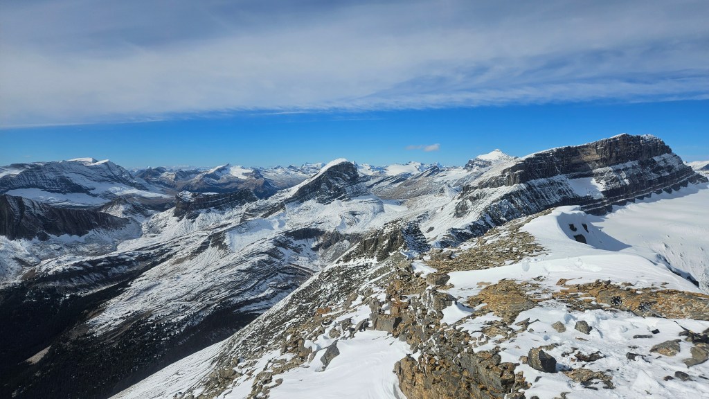
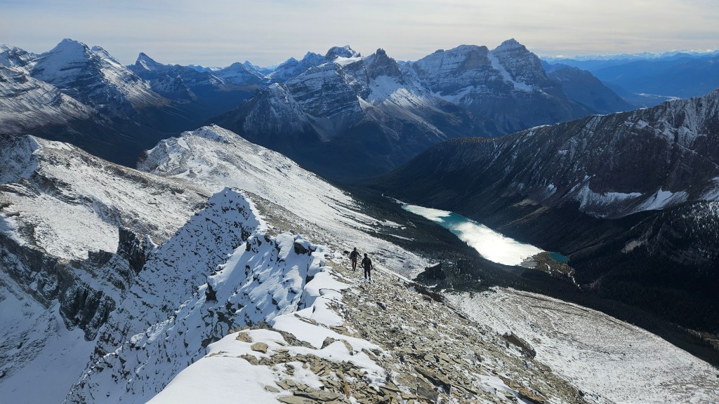
A couple notes. Firstly, a big thank you to Vern of Explor8ion for publishing a detailed trip report from this past July, and also thanks to Devan Peterson, who’s snowshoe report influenced Vern’s trip. Secondly, while in theory you could traverse from Paget North Peak, I don’t think the link-up is worth the elevation loss/regain given that there is this direct route up. In snow-free conditions I’d rate it as a high-end-moderate scramble with modest route finding. As per the Sherbrooke Lake area, the views are well worth the effort. I would recommended for this area doing nearby Mt Ogden or Mt Niles first, if you’ve only done Paget Peak then this is a sharp step-up in difficulty.