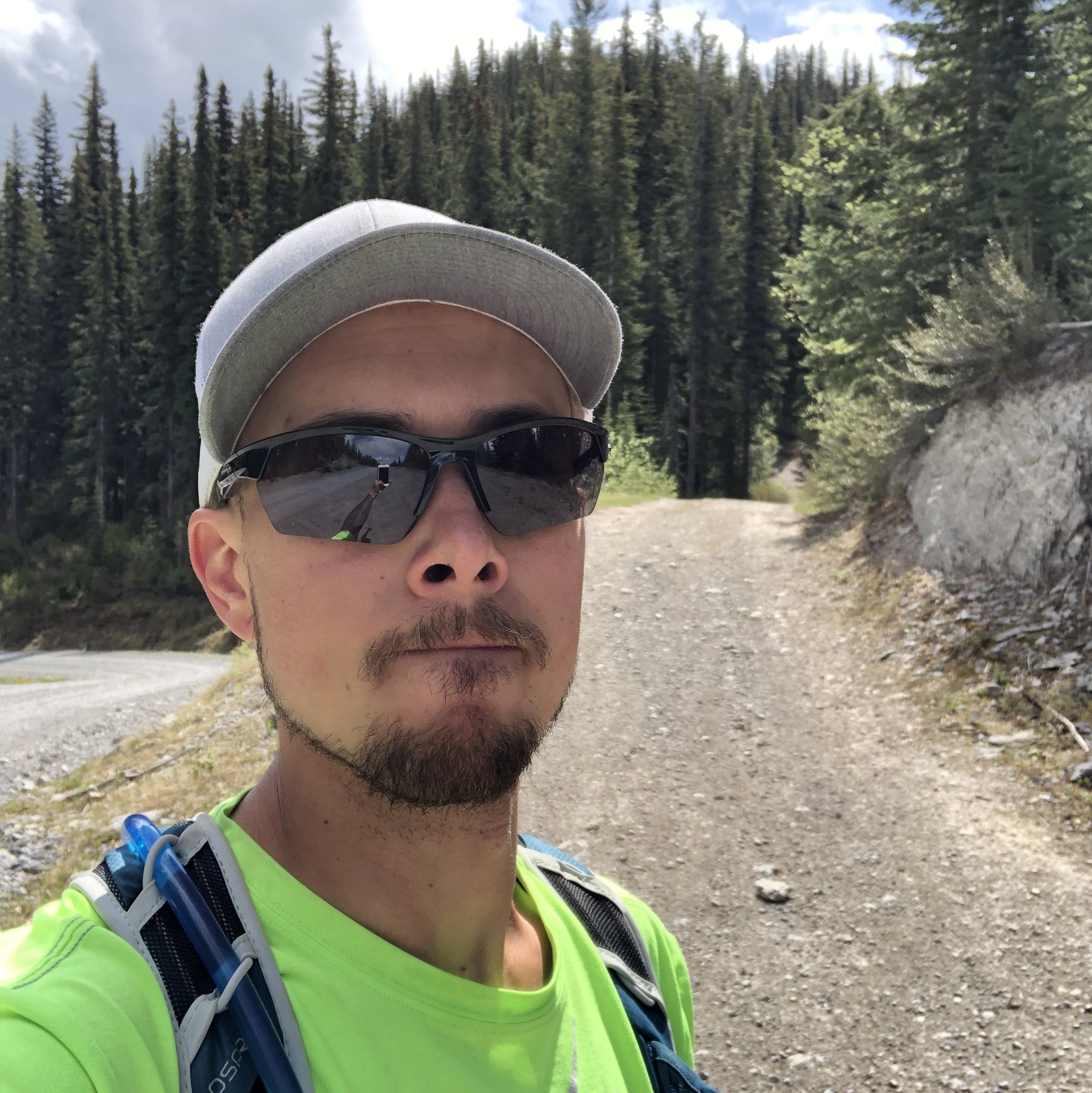
May 29th, 2023. Golden, BC.
Round Trip: 5-6 Hours, Elevation Gain: 600m
Easy Scramble, Mostly Hiking
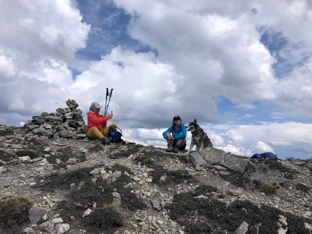
A local outing up one of Golden’s most iconic peaks. The beauty with this one is that you can drive up to the parking lot near the paraglide launch, and most vehicles can traverse the road when in dry summer conditions. Bri and I teamed up with our pal Kels and her dog Rika for this outing. It took us roughly 45 minutes to drive up to the paraglide launch parking from Reflection Lake and knowing it was only a half day mission we treated ourselves to a late start, arriving at the launch site around 11:15am. We referenced both Golden Scrambles and Golden Hikes (summit height taken from Bivouac) for this outing but failed to make note of the ATV path referenced on both websites. As forewarned on the Golden Hikes website the starting point is a bit confusing, as there is a “mount seven summit trail” sign near the paraglide launch that ironically is not a summit trail at all but instead a downhill bike trail. Side rant: it seems to be a common theme here in Golden, bike trails named after local peaks that do not lead to said peaks (looking at you LSD and Moonraker!). . .
After meandering down this bike trail for several minutes, we observed how quickly we had lost elevation and backtracked to the parking lot. I believe we likewise explored around the rec site trying to find an “obvious” track (we did spot a snowshoe hare) before retreating to the car. I re-read the report off of Golden Scrambles and noted the mention of a wide ATV path. Turns out we had to back track down the road a few meters, and once we spotted it we had a collective moment of “ah, of course that’s it!”. In total, we spent nearly 45 minutes on false starts before restarting our efforts at the ATV trail, which was unsigned at the time of this trip. The round trip from here ended up being around 5 hours.
The ATV path itself was harshly steep and quite eroded making for a challenging but straight forward approach. After an initial height gain the trail dips drastically, losing nearly 80-90m of elevation gain, and seemingly curves away from the natural ridgeline. We briefly were discouraged and followed what seemed like a more direct side-path into the trees… this proved a false lead and petered out within a few meters. We reluctantly returned to the ATV path and followed it down hill before it started regaining elevation again.
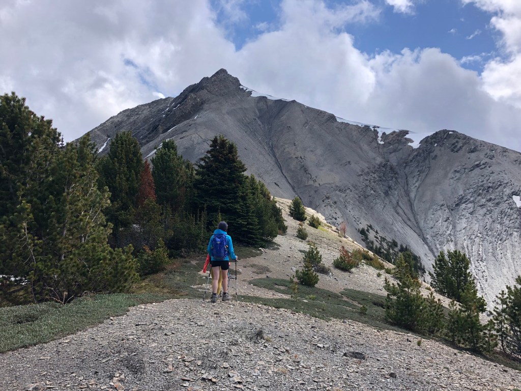
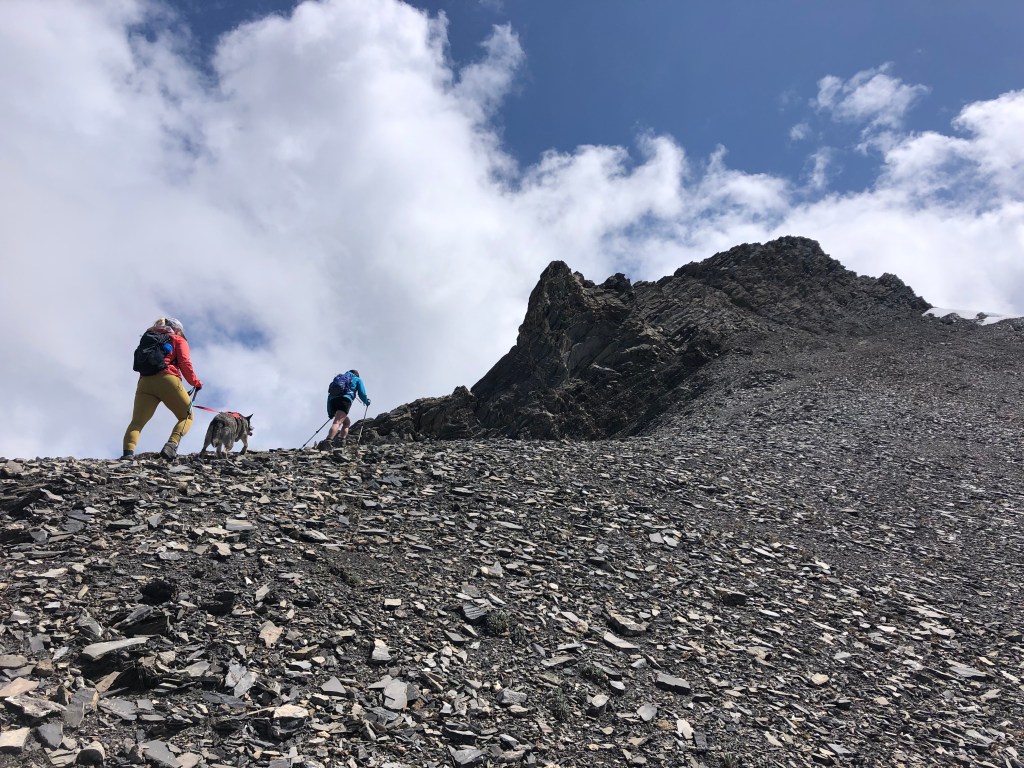
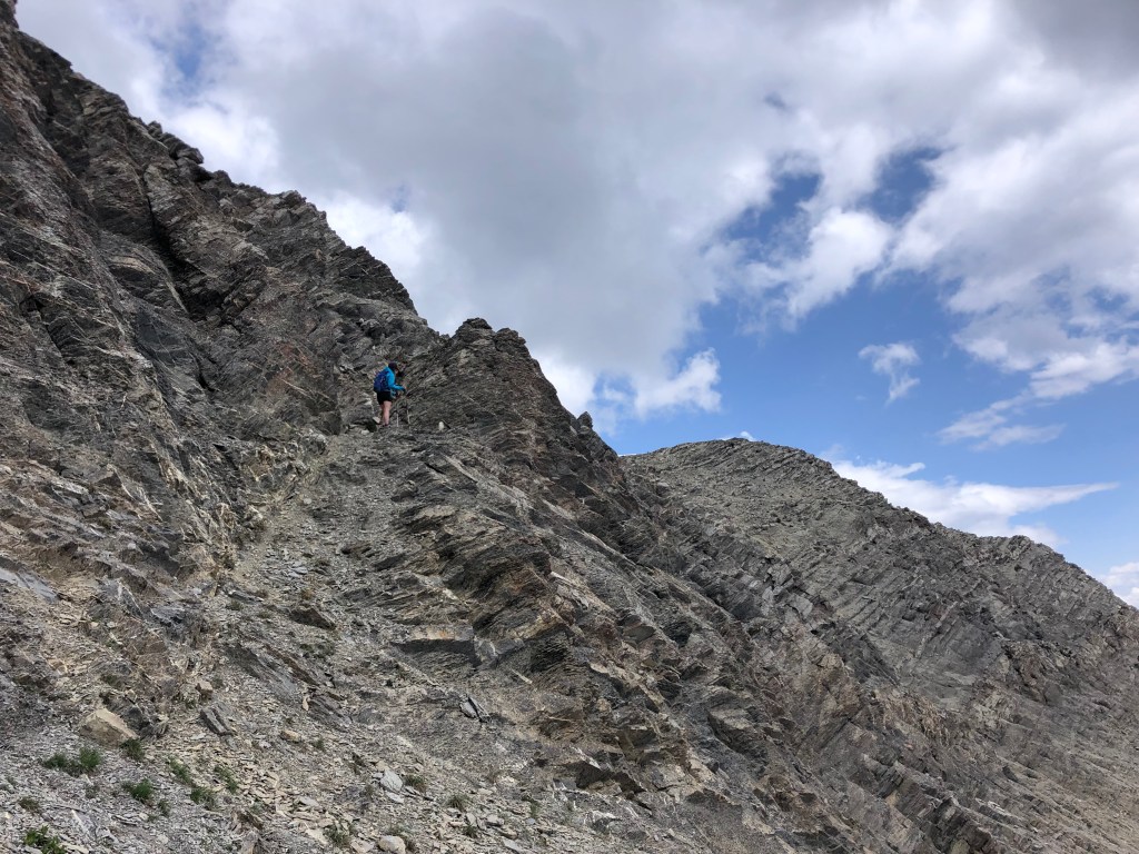
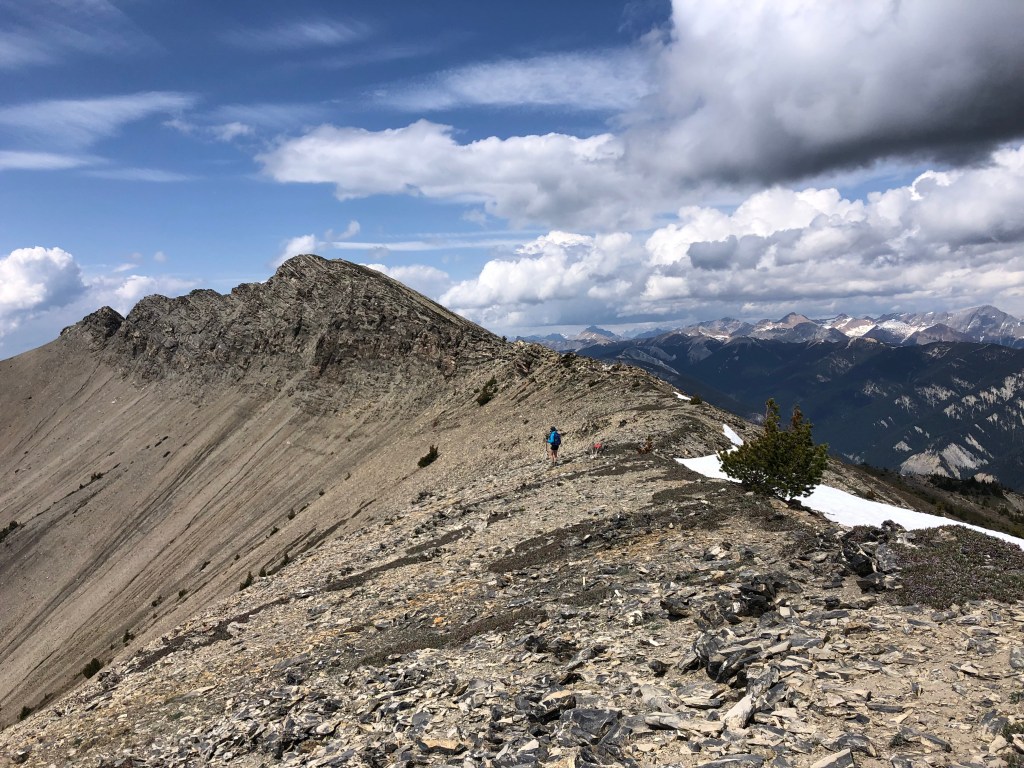
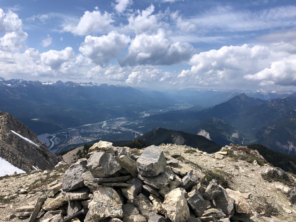
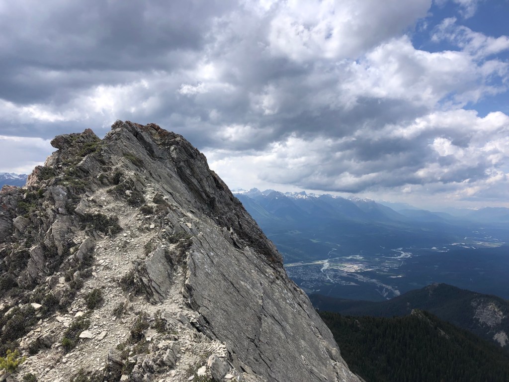
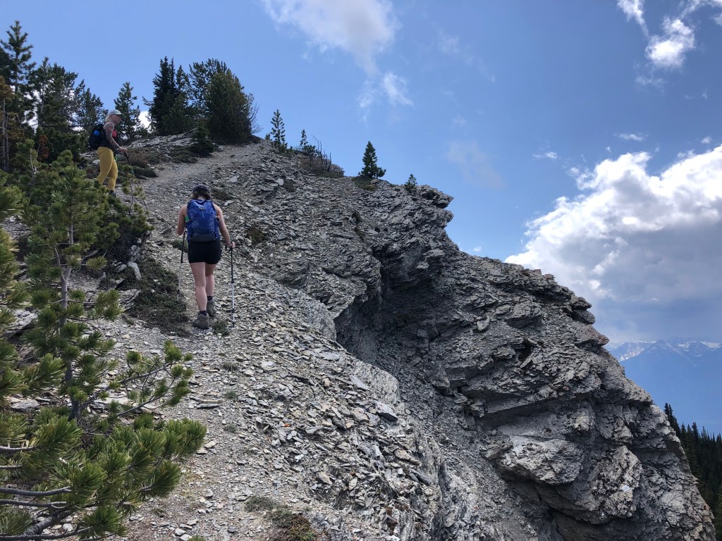
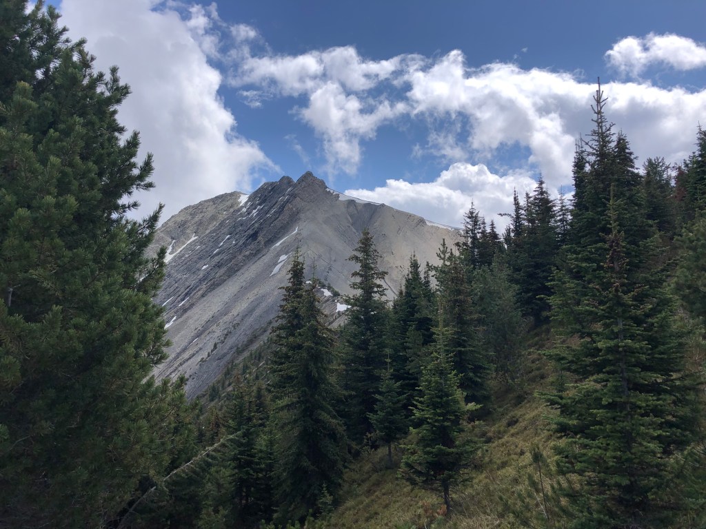
An hour and half later saw us break through tree line, with the ATV path reduced to a foot path that skirted over some cliff bands traversing towards the scree slope that gives Beaverhead Peak its local name of Mount Seven. The infamous snowmelt “7” had already disappeared early in a slide that spring so on approach the scrambling conditions appeared ideal. The scree slope was a brief wet muddy slog upwards, from above the slope the ridge crest continues directly to the summit. There are an abundance of cairns up here and as such a few variations of how you can approach the summit, offering easy to moderate scrambling. We initially followed near the crest which was easy hands-on scrambling but proved a bit daunting for Rika, so we returned to the scree level and traversed under the summit block to a ridge south of the main summit. This variation only added a few extra minutes and led to a scenic viewpoint. We were having a slightly off day that day, and mistook this viewpoint as the summit until observing another hiker topping out on the correct highpoint. In part, our online maps had misplaced our pin as being on the summit, which only added to the initial confusion. After seeing another hiker on the summit, we traversed over and tagged Beaverhead Peak proper, reaching the summit around 3:30pm.
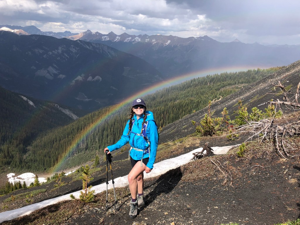
We kept our summit visit brief as the wind picked up and was quite brisk. The other hiker had remained on the summit during our visit and we exchanged notes, he had stuck to the crest the whole way from the scree slope “to keep things interesting”. We decided to take his suggestion for our descent and it proved quite enjoyable, even Rika managed (albeit with some gentle reassurance). After passing under a double rainbow along the scree slope we followed the trail and ATV path back to the car park, the steep grade near the trailhead proved a sting in the tail to our trip as this was brutal on our knees during the return hike. Asides from the false starts, and elevation loss/regain along the ATV path, this proved a fun outing and a manageable half day!