June 25th, 2023. Waterton Lakes, AB.
Round Trip: 7 hours, Elevation Gain: 1150m.
Mostly Hiking; Easy Scramble
Bri and I visited Waterton Lakes for the first time in June 2023, in celebration of our engagement anniversary. It was a great trip and we managed to get a peak – though admittedly not the peak we had planned on. We failed to do our homework and were totally unaware that the Akamina Parkway, where many of Waterton’s notable scrambles are, had been closed due to major landslides. We learnt this morning-of when arriving in the park… luckily we had Scrambles (2016) in the car with us and we quickly decided on Bertha Peak given its trailhead access from within town.
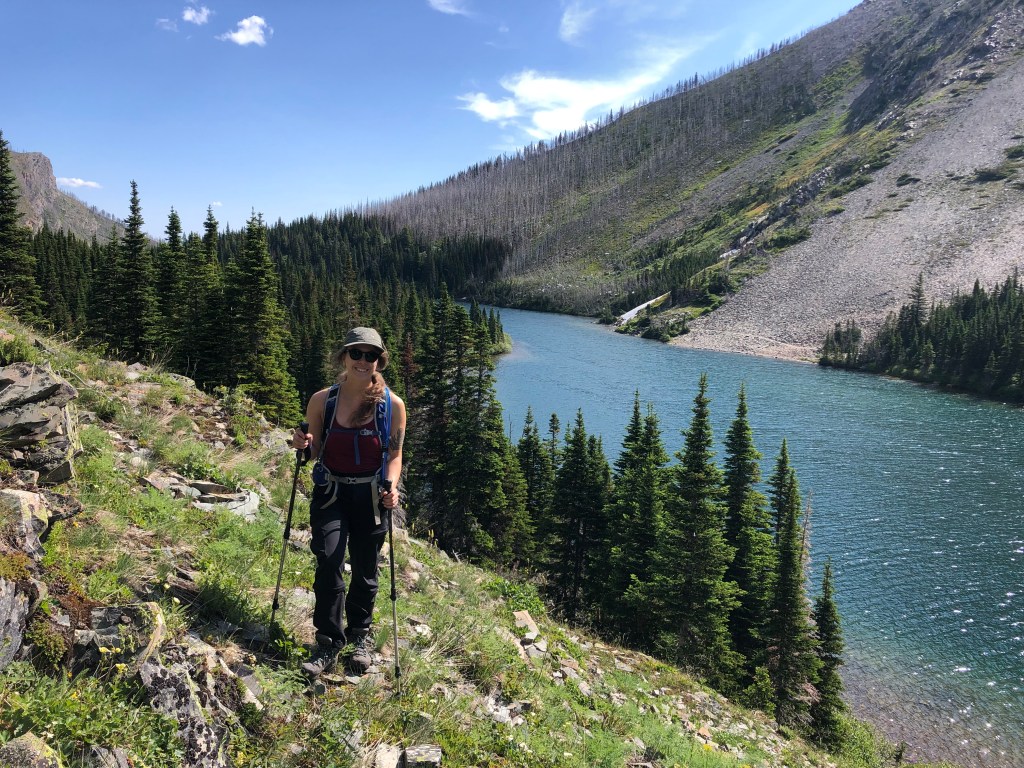
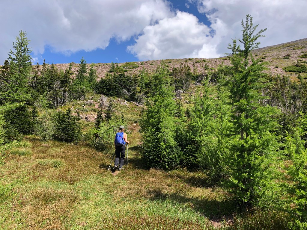
We stuck to Kane’s description with approaching from Bertha Lake trail. Other than having brief trouble finding the start of the ascent route it was a straightforward trip. Compared to Kane’s (2016) instructions, we ended up hiking much further along the Bertha Lake trail than indicated before finding a faint path leading up a shrubby rib of the slope. Turns out this was a mere goat path that quickly ended in a brief bushwhack and moderate scramble up ledges until we intercepted the main path – which was well cairned and well travelled.
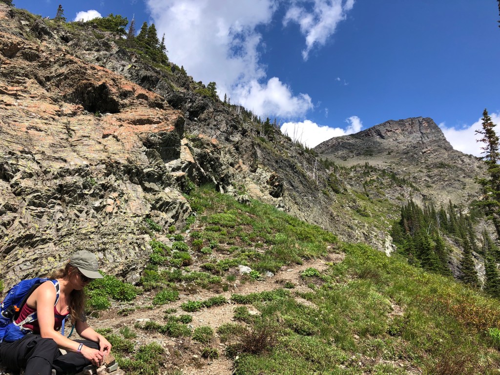
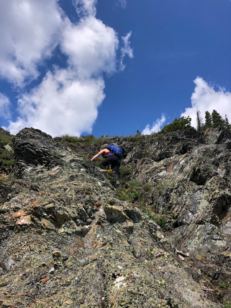
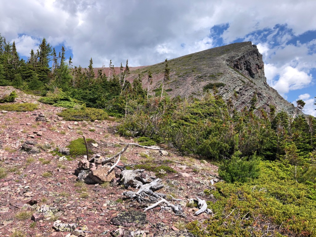
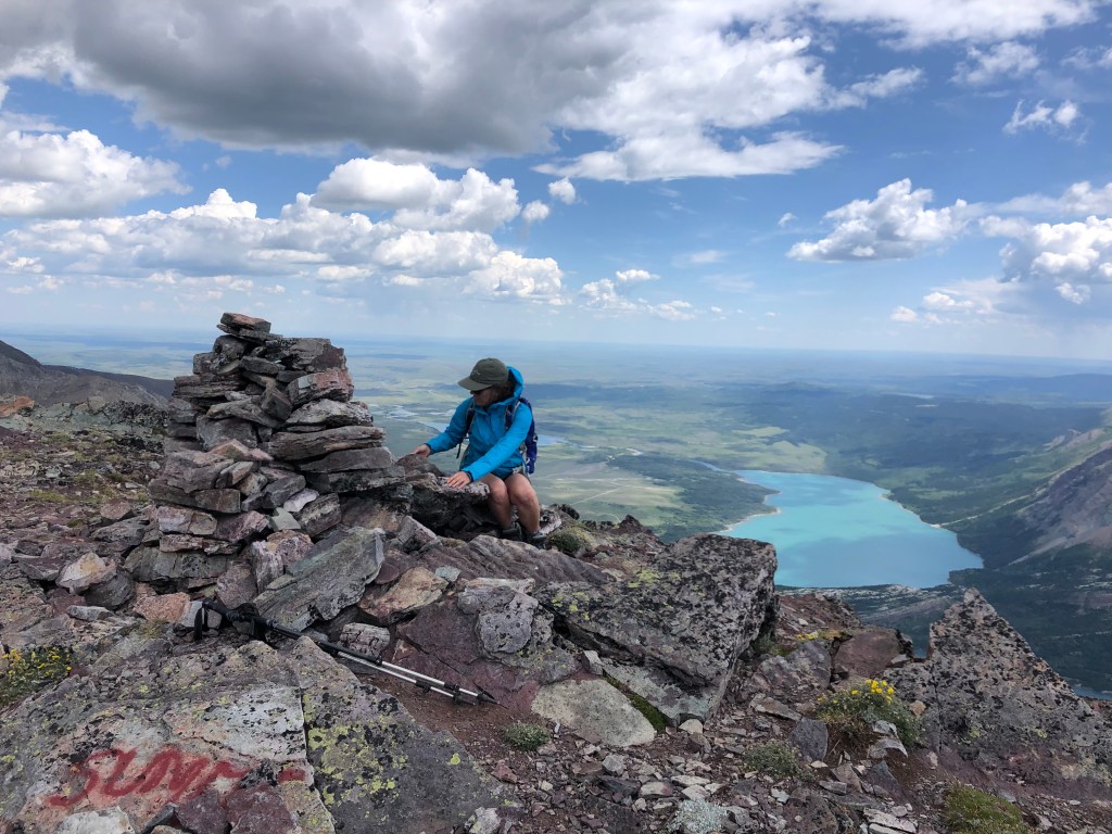
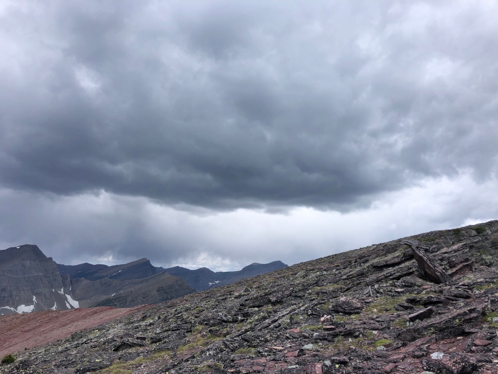
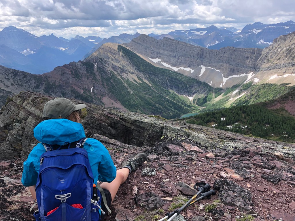
Once on the correct path it was easy going up steep terrain towards the peak. Eventually the gradient slope mellows out into a bowl carpeted in larch trees. A distinct footpath leads through the larches and up to the summit ridge (looker’s right). It is barely a scramble from the bowl to summit, the path is well defined through the talus. We very briefly enjoyed the summit views before being chased off by a thundercloud burst. Luckily the weather passed after ten minutes or so for our journey back down to the lake. The main path emptied out onto the Bertha Lake trail another hundred meters further than the goat path we had used on ascent, both are much further along the lake trail versus Kane’s (2016) instruction in Scrambles.
Fun side note, we encountered another group on our way down into the larch-bowl who credited us for showing them the way up – all thanks to our high visibility clothing. The neon suffer-now-summit-later shirt lives on!