September 20th 2026. Whistler, BC.
Round Trip: 7.5 hours, Elevation Gain: 1350m.
Easy Scramble; Mostly Hiking.
Our third and final outing on our recent late summer trip to Squamish, we were meeting some friends in Whistler later that day so it seemed fitting to set out for a local objective. Bri and I opted for an easier objective with minimal FSR driving, and being unprepared tourists had not booked a parking spot for Garibaldi which eliminated a few options. After reading a few of Steven Song’s trip reports for the Squamish and Whistler area we settled on Brandywine with an early start. We used the lower of the two parking lots which adds some extra vertical to the day but still found this to an easy hiking objective. And, thanks to the early start we beat the crowds on the way up.
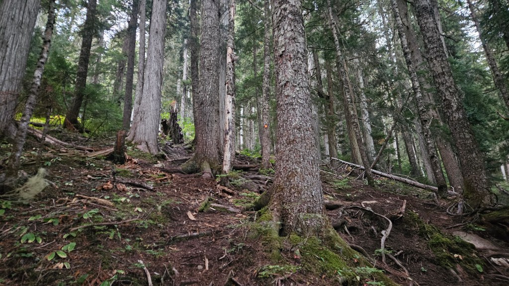
It wasn’t quite sunrise when Bri and I started at 6:30am, hiking up under headlamps from the lower parking lot. The forest section was steep but even in the pre-dawn lighting the trail well defined and easy enough to follow. In addition to the foot path being well defined there were bright orange trail blazers pinned every so often making this trail almost fool-proof. By comparison to the muddy approach to Tricouni, this was a treat hiking up over dry forest floor amongst a few old growth trees. Within half an hour it was bright enough to stow away our headlamps. Fifteen minutes further along the gradient mellowed out and we were hiking across wooden boardwalks above the mud. Tricouni’s approach sure could use a few of these!
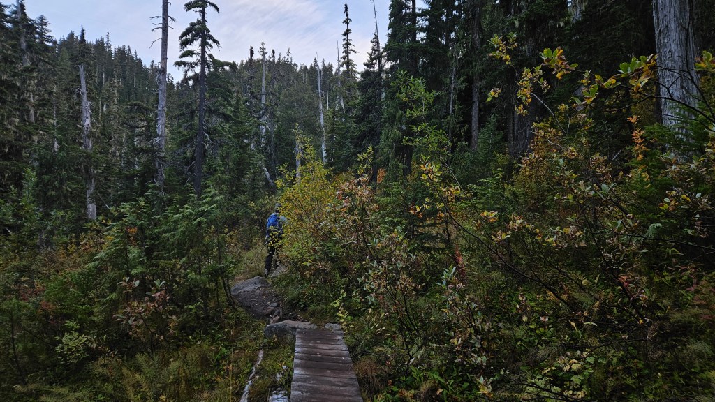
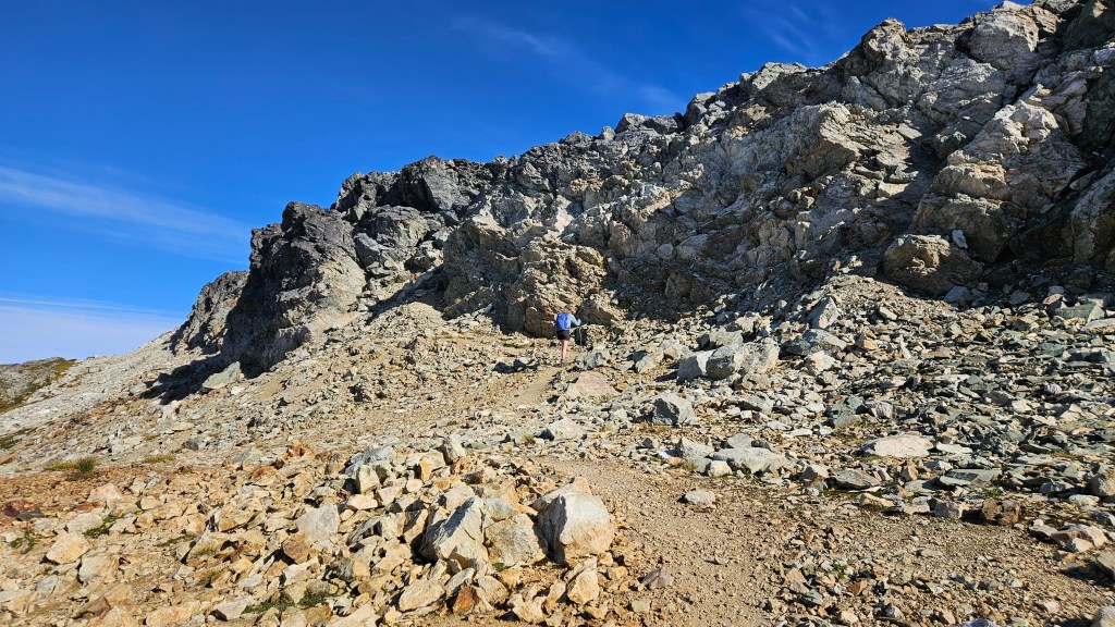
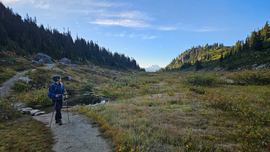
The trail continued through the trees and into the start of the long Brandywine meadow. It was quite stunning in the early sunrise lighting, we were both taken aback by how beautiful this area was. And blissfully unaware how busy it can get, as we seemed to have the meadow all to ourselves. Totally spoilt! We continued along, the trail remaining well maintained the whole way north. Towards the back of the meadow the trail crosses the creek and winds its way up a long rubbly slope eventually linking to Brandywine’s south ridge. Arguably this was the most demanding part of the day, toiling up loose rubble and gaining nearly 400m from the creek to shoulder of the ridge. Almost felt like we were plodding in the Rockies. It was definitely a grind for the final 100m to gain the ridge, a webbing of various foot paths made route finding easy. We encountered another group on their way back down who had camped on the ridge for sunrise, and they were the only other people we saw that entire morning.
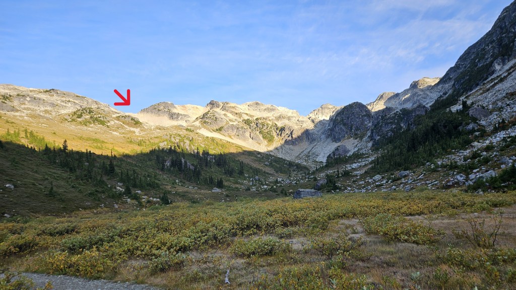
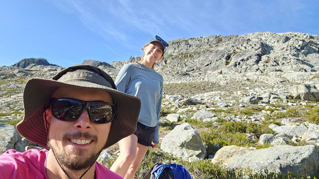
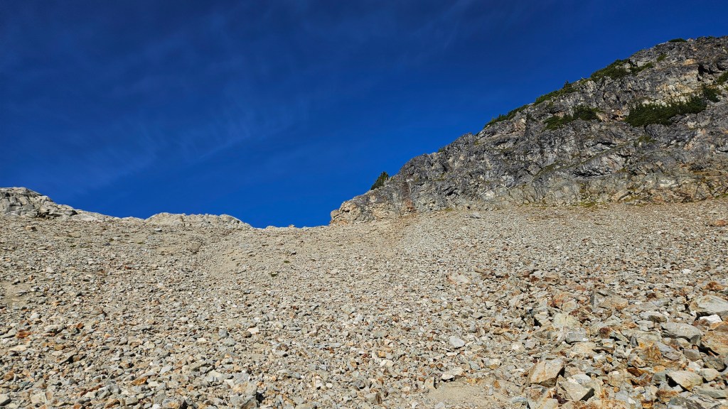
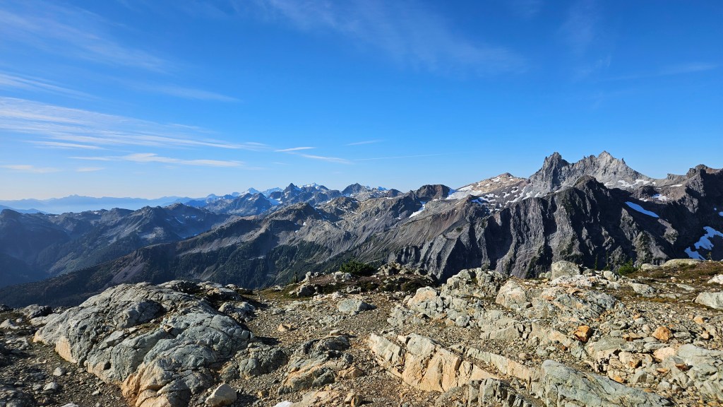
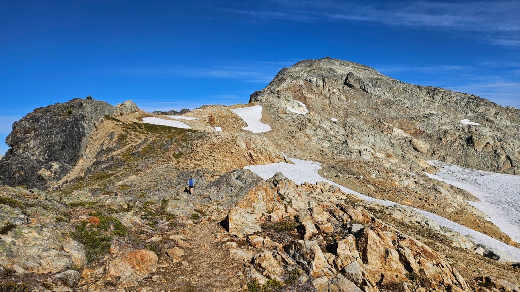
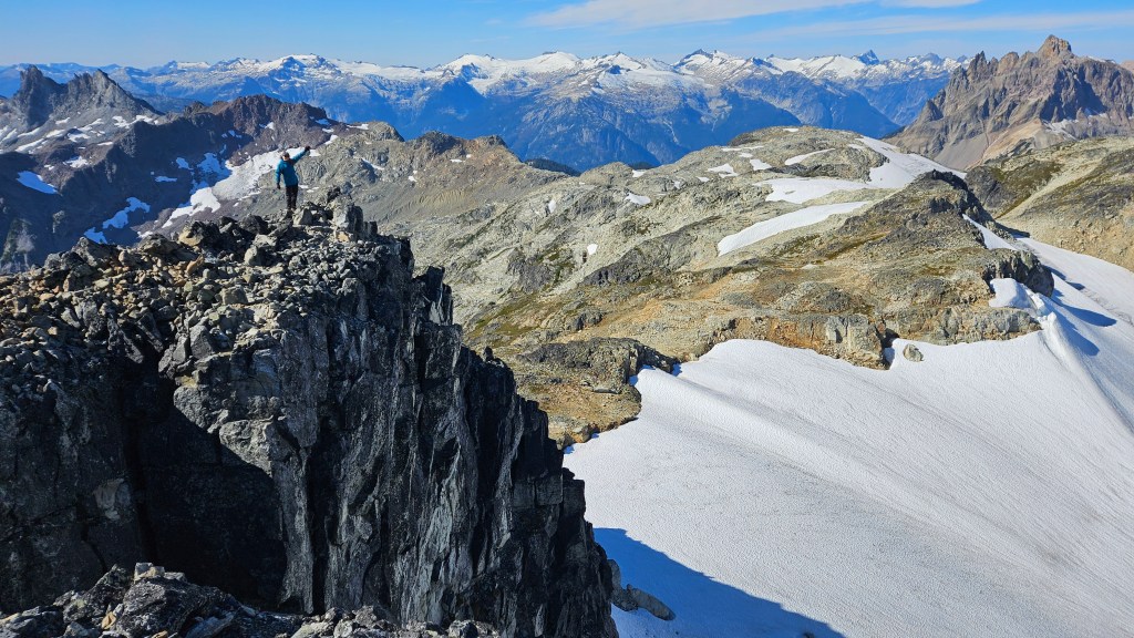
We had already taken a breakfast break halfway up the slope, so when Bri and I crested onto the shoulder of the south ridge we only paused to catch our breath before continuing northwards. A well defined foot path with ample cairns continued along for the entire route. Initially it led us to the climber’s left (west) across a shelf before cresting onto the ridge proper. If one got bored there were opportunities to scramble but in following the foot paths the route was mostly a hike. The impressive spires of what I assume were Pyroclastic Peak and Mount Cayley greeted us on the horizon and reminded us of our trip to Yukon’s Tombstone Territorial Park earlier in July.
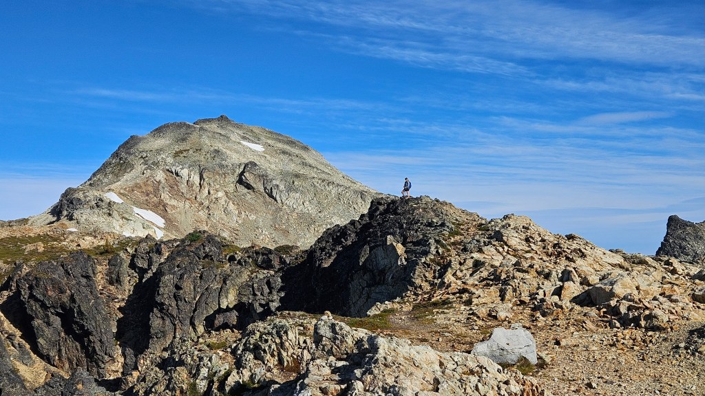
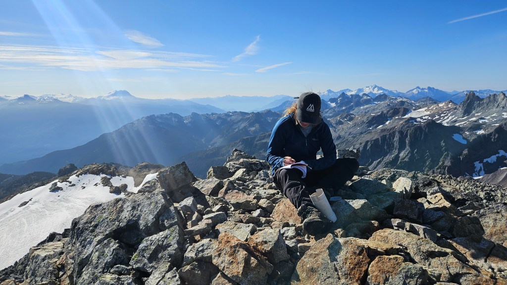
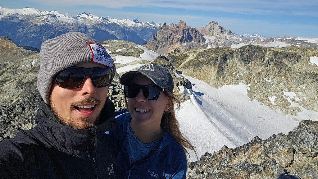
Initially we misread the map and thought Brandywine’s summit was much further beyond the ridge, and even second guessed our route at one point. The summit proved to be much closer than we thought, taking exactly 1 hour from where we had first crested the shoulder. While we did hike over several boulder outcrops along the ridge crest there was minimal scrambling on route to the summit, making this a quick and easy ascent. We topped out at 10:24am ahead of schedule, and enjoyed the scenery all to ourselves for nearly half an hour. To our surprise there was even a summit register up here and flipping through the entries it started to dawn on us how lucky we were to be the only ones up there.
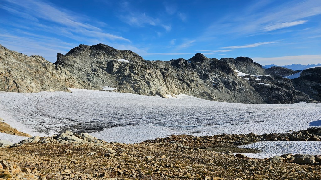
That quickly changed. We were joined at the summit by a friendly peak bagger from Bowen Island, and after some good peak chatter Bri and I made our descent. A few minutes later we encountered another party, the another after them. Soon we were encountering people every couple minutes and could see a steady stream of hikers and trail runners making their way towards the summit. Most were friendly. We met one local in her late fifties/early sixities that informed us that the pocket glacier to the east had in her life time previously covered most of the ridge; this had only become a scrambling route in the past twenty years or so. I wouldn’t be surprised if that was true, based on what I’ve seen in the Rockies since 2015.
By the time we had traversed back to the lower shoulder I had counted roughly 50 people along the ridge. We would encounter nearly that number again while hiking back through the meadow, and it was giving off a busy-vibe. I hadn’t noticed how large the parking lot was in the pre-dawn light which should have been an indicator of the meadow’s popularity. And of course, it was a Saturday! Despite the steady stream of people it was still an enjoyable hike to the car and we surprised ourselves by completing the round trip in under 8 hours at a relaxed stroll-like pace. Glad we started as early as we did!