August 22nd 2026. Icefields Parkway, AB.
Round Trip: 10.5hrs, 21.5km. Elevation Gain: 1300m
Easy Scramble w/ one brief Moderate section via South Ridge; long rugged approach
This was a fun one. While puttering around on the PeakVisor App last year when I was composing the trip report for Mount Noyes, I started looking at other neighboring peaks in the area. This is a wonderful corner of the Icefields Parkway and I was very keen to explore more of it. I noticed a peak called Iceface immediately north of Noyes. Having never heard of this peak I was intrigued and did a quick search. I found the trip reports from Andrew Nugara (author of More Scrambles) and Vern Dewitt of Explor8ion, both had gone up in 2024. Vern made a loop of his day by taking a long approach in to the south ridge then traversed north returning down the northwest shoulder. Bri and I followed Vern’s route for the south ridge though opted to retrace our steps on the return journey. Looping off the north ridge would have likely shaved an hour or so but involves route finding down a rather nasty looking slope.
After a big week of peak bagging, I took a few days off to catch up on some stone carving work and was ready to head out again for a new adventure. I showed Bri the trip reports and she was very keen to visit this area. Generally speaking, I’m usually an hour or two slower than Vern’s trip times so we anticipated a +10 hour day plus the long drive to/from Golden on either end. We parked near the Waterfowl Lakes campground and started our approach hike at 8:15am. Following along Noyes Creek, we hiked past some spindles and drainage pipes somewhat following a trail on the north side of the creek.
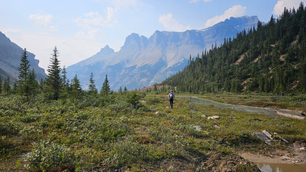
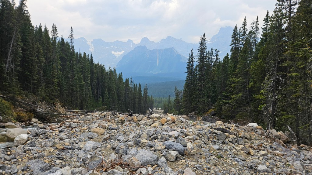
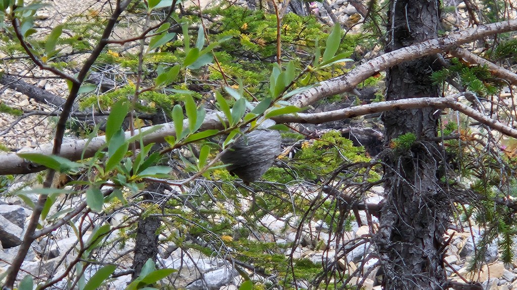
It was a wonderfully strange approach hike. It didn’t take long for the sounds of vehicle traffic to fade away as made our way along the edge of Noyes Creek, early on this valley had a rugged backcountry feel to it. At times we would be following what felt like a maintained trail (included sawed deadfall and cleared stumps) yet this “trail” would randomly disappear resulting in short stints of boulder hopping along the creek. Some light bushwhacking along the way too, but this was always short lived and often a segment of trail would re-appear. In one of the treed sections we trended alarmingly close to a massive wasp hive, thankfully we detected the nest before being detected ourselves and managed to safely avoid it.
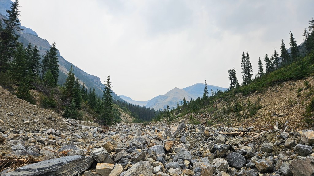
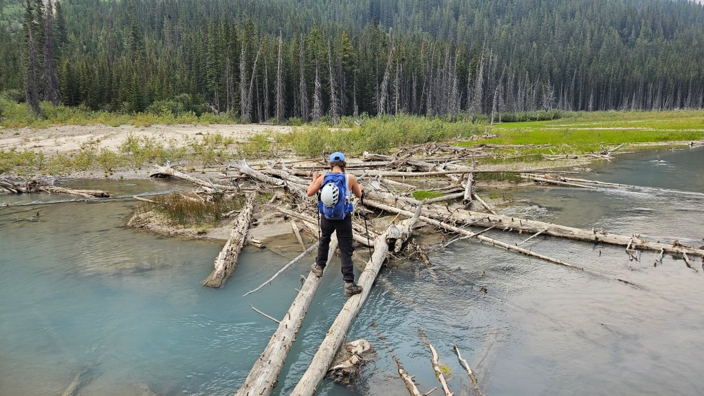
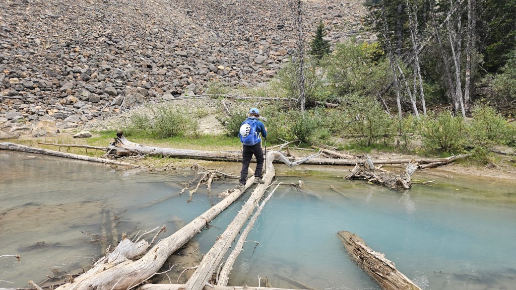
Around 9:30am the terrain flattened out and the creek widened. It looked like we were approaching a small swamp. This is where Noyes Creek forks and we needed to follow the southeast fork. We could also now see most of Iceface Peak’s impressive ridgeline. Ascending via the northwest shoulder didn’t look too bad from our initial perspective, other than some bushwhacking to access it. Getting around this swamp section though would be our next challenge. The rocky shoreline of the creek soon gave way to wet sinky silt and navigating north around this was not an option, so we crossed south at the earliest opportunity over some shifty logs. Despite the boggy environment the water still had a brilliant turquoise hue to it – so long as you didn’t disturb the surrounding mud. Now at the base of a large talus slope we circumnavigated the slope following this southeast fork of the creek. As forewarned in Vern’s trip report this next section has no trail and we could see there would be some bushwhacking in our very near future.
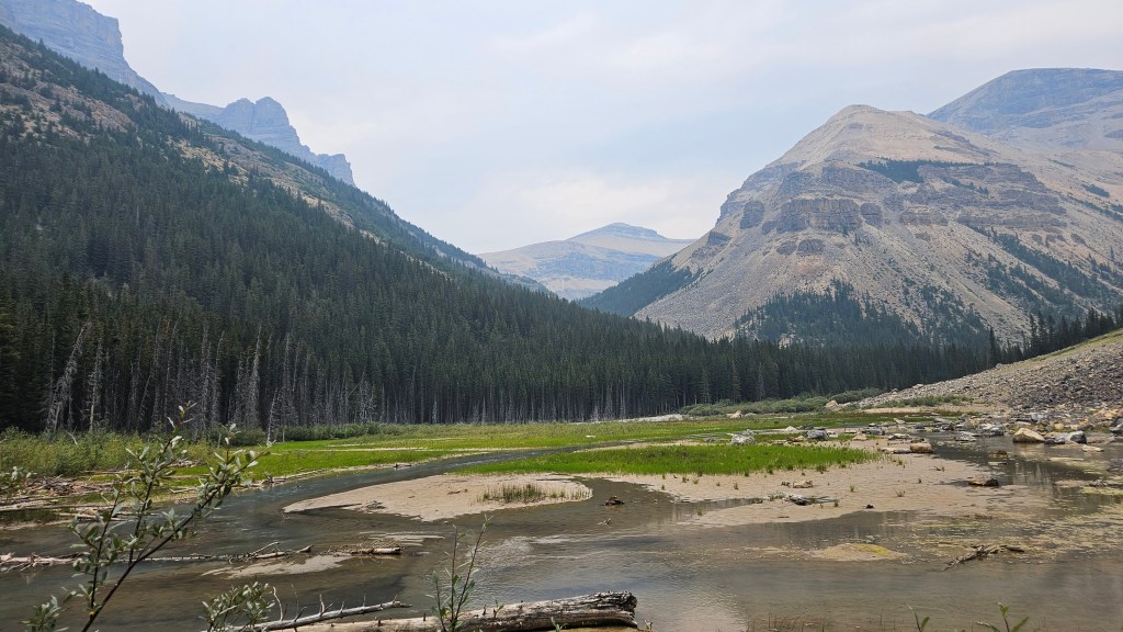
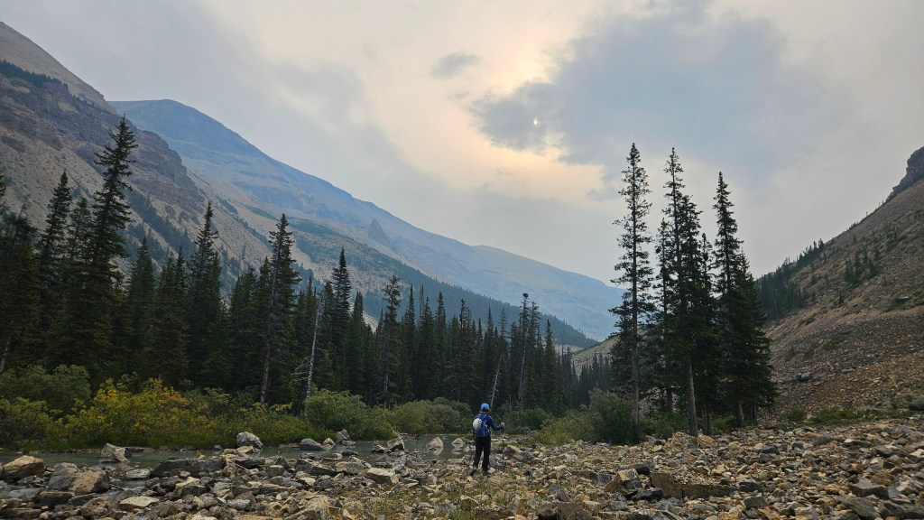
At this point in the day there hadn’t been much elevation gain yet and we knew at the back of this valley that we would eventually need to gain the col between Iceface and Noyes to access the ridge. It also appeared to us that it may be possible to avoid the next section of forest by scrambling up the adjacent slope and around the edges of treeline. So, we decided to get a head start on the vertical and try scrambling around the trees. Initially it seemed like the right idea and while we did manage to avoid most of the bushwhacking we did not avoid it entirely. Skirting the top of treeline was a time consuming slog and we nearly ventured too high above our intended route, which could have ended in a lot of tedious and unnecessary side-hilling. Back on flatter ground some half an hour later, we resumed a more relaxed hike beyond the trees over a plateau-like moraine.
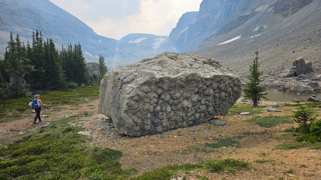
Our next landmark was another section of cluster of trees in the shadow of a small cliff band. Not wanting to lose and regain elevation we again trended to our right (west) and stayed high above the creek, following the rubbly moraine. We could see the ramp leading up to the col the whole way which gave us a good sense of direction. The next hour was among the more scenic of the day. Hiking up the moraine we passed an impressive boulder field that was likely the remnants of a colossal slide. Some of these boulders had an interested bubbled texture to them – similar to what I’ve seen on cave ceilings. The textures were of a large scale, with each bulge the size of a watermelon! It took us another twenty minutes to hike through the remaining boulder section, with one last partially-treed section of meadow to our left extending above the creek drainage. As we were hiked next to the meadow, a family of three mountain goats sprinted off to the east. They darted over the moraine at such speed that I wondered at first if a predator was hunting them. We didn’t see any other critters so likely it was us that disturbed their brunch.
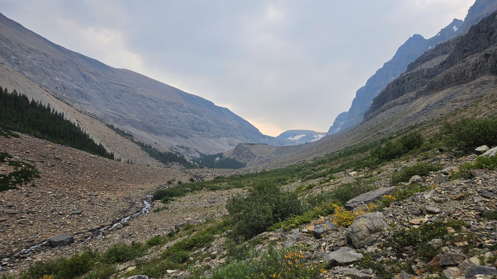
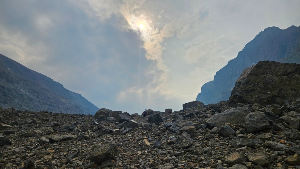
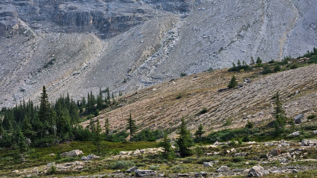
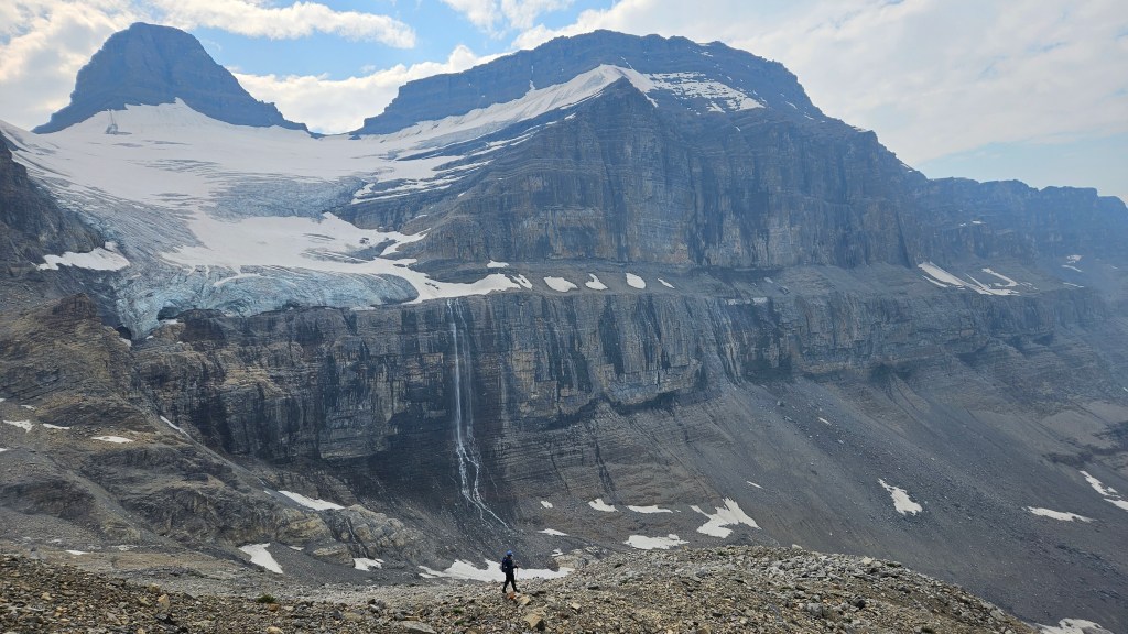
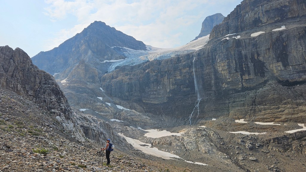
We fully cleared the last few patches of vegetation around 11:20am after having watched the family of mountain goats for a few minutes. The moraine was even flatter here and we could now see the source of Noyes Creek: a high waterfall pouring down off of Mount Noyes’ north glacier. This feature alone is worthwhile hiking in to see and being the only ones back there that day, it truly felt like a hidden gem. With the waterfall in our sights, we took advantage of the flat section on the approach, eventually gaining the moraine to our left (east). This gradually brought us up to the scree ramp used for gaining the col. The rock here was rotten so we donned helmets and plodded onwards and upwards. What made this section time consuming however wasn’t the tedious footing of the ramp but rather the majesty of the landscape, it was hard to stop ourselves every other minute for more waterfall photos! Especially once we noticed the ice cave to the looker’s left of the falls.
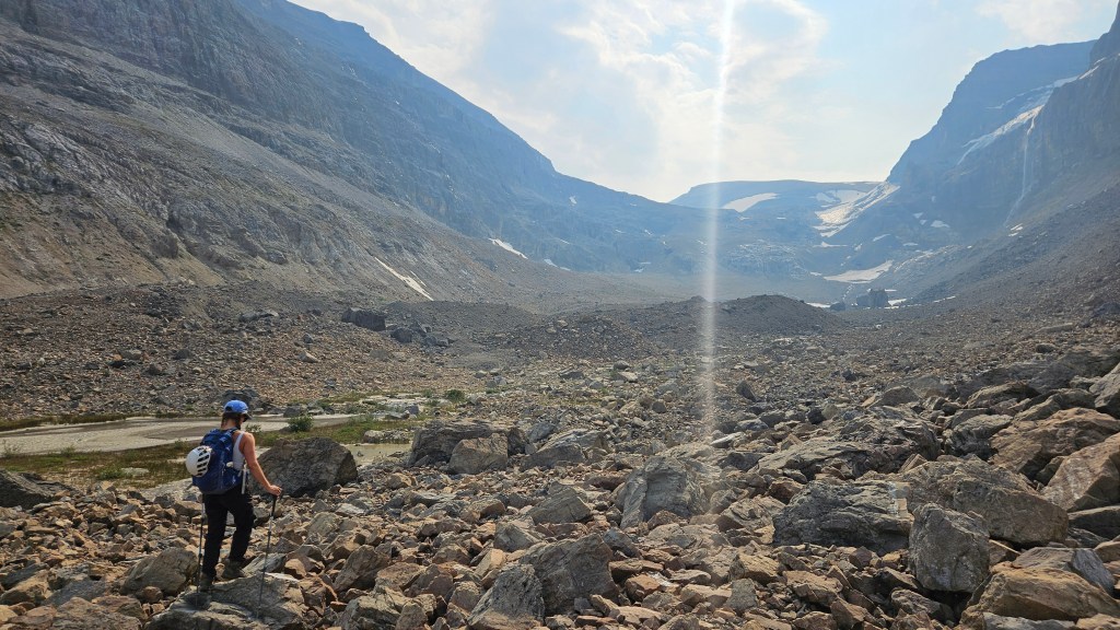
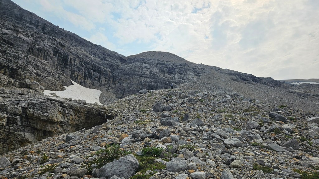
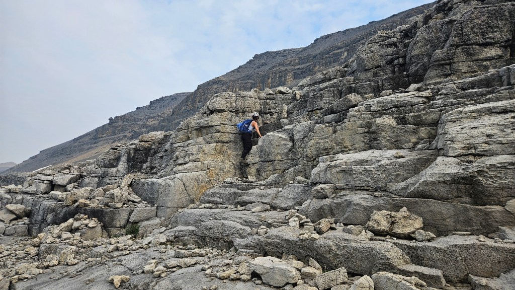
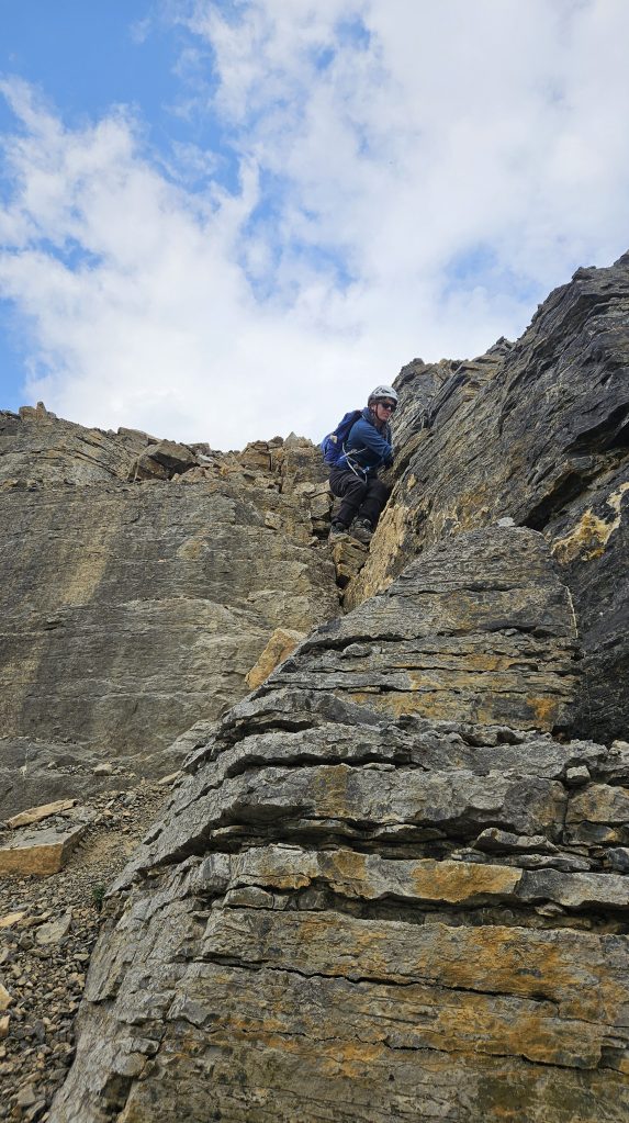
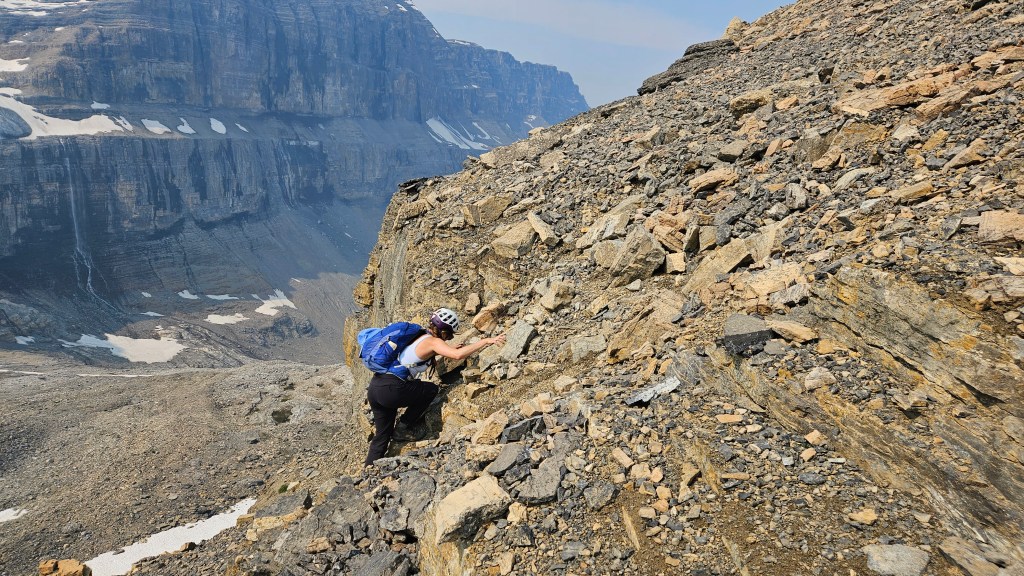
Factoring in several photography breaks along the way, it took us around half an hour to scramble up the ramp and eastern slope of the col. It was mostly rubble with occasional ledges on the climber’s left, which we used to help keep things interesting. There was still nearly 400m of vertical to be gained bewteen here and the peak’s summit. We continued up out of the saddle towards a crumbly ledge and steep broken cliff band. The face of this cliff band wasn’t necessarily tall, 3m at most, but on approach looked quite imposing. We had to circumnavigate to the climber’s right (southeast) to detect a scramble-able weakness in the rock, as per Vern’s trip report. This was one of the rare few times that we spotted a rock cairn. A few committing hands-on moves were needed to scramble over this weakness, which I guess you could say was the crux. The loose rock here made it feel somewhat difficult but this will likely become easier over time if the route starts seeing more ascents. Asides from that one spot, gaining the south ridge is mostly an easy scramble with the traverse to the summit being a long walk.
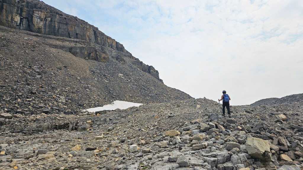
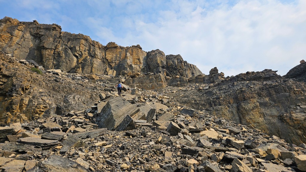
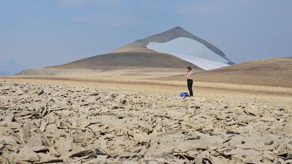
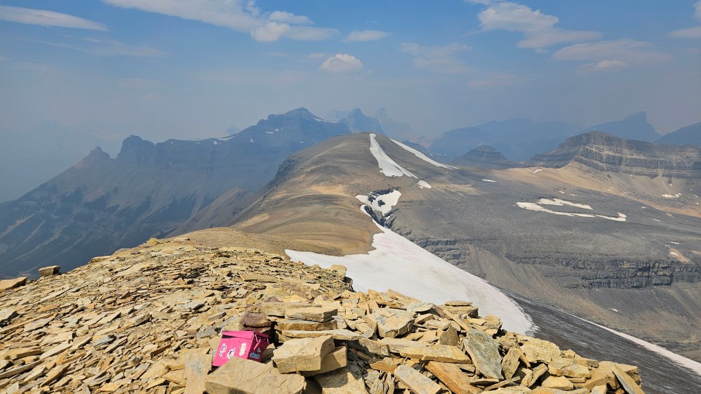
From above the crux it took us around 45 minutes to hike north and gain the summit. We arrived at the summit cairn at 1:30pm under hazy skies and were somewhat surprised that an infamous pink ammo box had already made its way there. Unfortunately though it appeared as though a marmot or ground squirrel had ransacked the pink box as the lid was open, droppings were everywhere, and the register itself was no where to be found! Too bad, it would been a good one to read given that most of the beta for this peak is from the past two years.
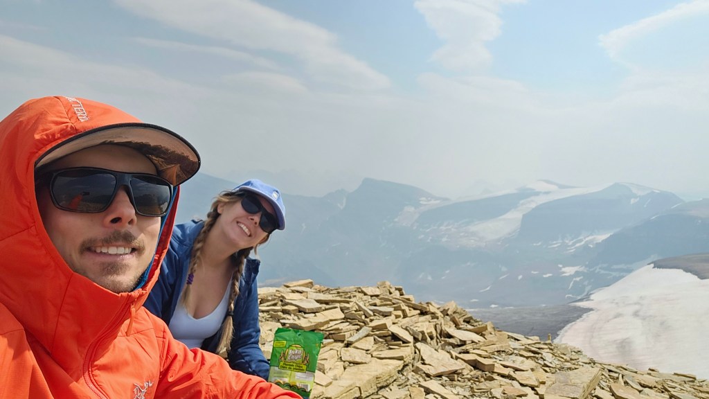
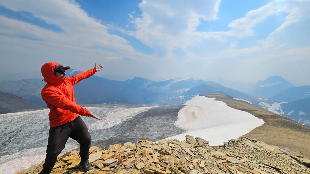
Bri and I had only taken short breathers along the approach, so took an extended break here at the summit. Having already taken numerous photos that day, we snapped a few shots of the massive east facing glacier and of the north ridge before tucking our phones away and savoring the summit. The smokey haze had partially lifted so we enjoyed our snacks and spent half hour taking in the views. We discussed the possibility of traversing the north ridge and route finding our way back to Noyes Creek but ruled this out in favour of retracing our steps over familiar terrain. Though this would likely make for a +10 hour day we didn’t mind and weren’t in any particular rush to leave such a stunning area.
On return, the only difficulty we encountered was locating the crux from above. It actually took us a while, and it was hard to spot. A lot of the natural debris above the cliff band looked like cairns which had us studying the wrong sections. Eventually we gave up and had to pull up our track on my Garmin watch to locate the correct spot for down climbing… and even then it looked unfamiliar. In hindsight we should have built up another cairn here. I actually found the crux easier on the down climb, perhaps having already dislodged some of the obstructions on the way up.
Once back down the scree ramp off of the saddle, we stayed low in the moraine taking advantage of the near-level terrain. A mild variation with our return hike was that we stuck closer to the creek as to avoid some of the side-hilling from earlier. It ended up being not too bad; the bushwhacking we encountered was light and short lived. We even found faint traces of a trail complete with cairns, which we had missed during the approach. Still sticking to the creek we made it back to the swampy forked section around 5:30pm. Once around the talus slope and across the logs, we decided to stick to our strategy of hiking closer to the creek for the remainder of the way out. This worked out well, with a few extra sections of boulder hopping and almost getting soaked feet, we managed to avoid most of the treed sections. It dawned on us that being behind Mount Noyes, the mountain had buffered any traffic noise often heard on parkway summits. It really added to the backcountry vibe of this trip not being able to see nor hear the highway all day. We made it back to our car around 6:45pm and were mildly shocked at how much traffic was whizzing by along the parkway at that time in the evening.
All-in-all this is a great route with a semi-rugged approach. Highly recommend this one, even if just to check out the waterfall. Give yourself extra time for photo ops as we did and you’ll hopefully enjoy it as much as we did!