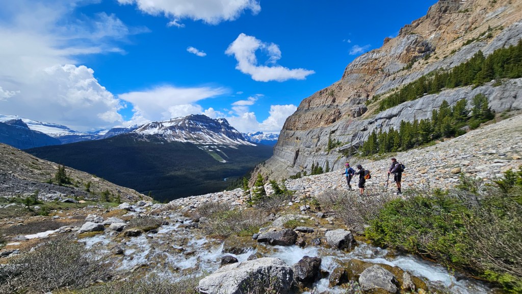
July 5th, 2026. Icefields Parkway, Banff.
Round Trip: 7 hours, Elevation Gain: 1260m.
Mostly Hiking, with one Moderate Scramble section.
It has been a slow start to our scrambling season this year, with Little Hector being only my second peak so far. The snow pack has held on strong after a cool wet spring and it has been a challenge selecting routes that are summer-ready. After considering a few other objectives in the area, we settled on Little Hector based on a recent photo our friend Tyler posted from nearby Achilles Spire. We followed Kane’s (2016) route from the 3rd edition of Scrambles, cross comparing it with the routes on Peak Visor and All Trails. Oddly enough, we had done Mount Andromache nearly 8 years earlier to the date, which shares the same initial approach trail.
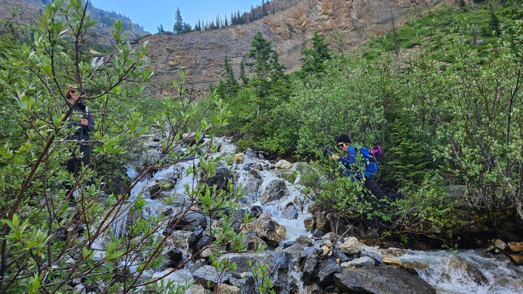
Bri and I teamed up with Tyler and Connor for this outing, and managed to leave Golden by 7:30am. We reached the pull-out 20km north of Highway 1 around 8:45am, and oblivious to the fact it was a Sunday, were shocked to have snagged the second-last space in said pull-out. Busy day on the Icefields Parkway! The approach trail was easy enough to spot once across the highway and it remained well defined the whole way up along Hector Creek. Some thirty minutes into the trail we spotted the waterfall section up head, crossed the creek over to the north side and continued along. We encountered another group here that was slightly off trail and seemed very lost/confused as to where they were headed… which was apparently also Little Hector.
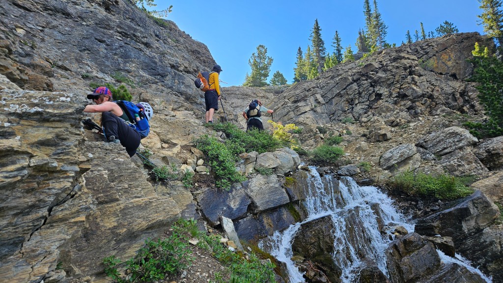
After our brief encounter with the other hiking party, we continued up the left side of the waterfall. I seem to recall this waterfall section being more hands-on in 2018, perhaps eight years of hiker traffic has altered the terrain a bit. A couple gentle ledges and a few brief scrambling moves around some trees brought us to the top of the waterfall where we crossed back to the south (climber’s right) side and continued along a well defined trail.
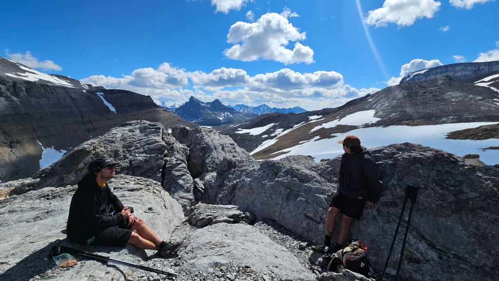
From here the trail forks away to the right, away from the one used for accessing Andromache, branching into a narrow basin. We followed this in a southeastern direction, gaining the crest of the basin, which then links directly into the lower ridges of Little Hector over a few rolling scree hills. The vertical was gained quite quickly through here and the remainder of the route came into full view. All the while the technical rating still a modest hike in nature. After crossing a couple lingering snow patches we took our first prolonged snack break next to an interesting outcrop of abrasive rocks. We were making good timing at 2 hours in, and could not ask for better conditions!
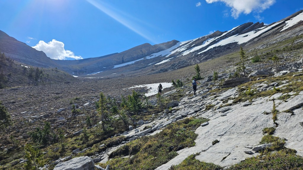
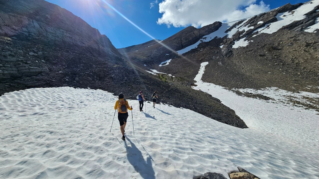
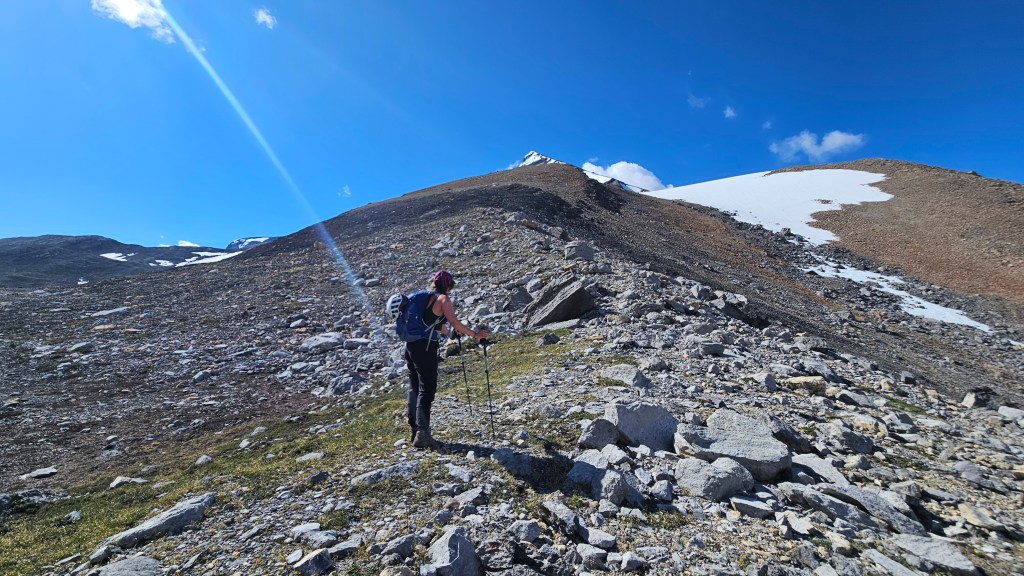
From where we took our break, there was a lot of lingering snow along the eastern flanks of the Little Hector and if it hadn’t been for Tyler’s photo of the route, we would have had some concern about the conditions. As we continued our approach over the last few rollers, the route remained obvious and the snow travel was minimal. We also spotted a solo hiker further up the ridge which was reassuring. From the base of the ridge, the route snaked up a darker scree slope, and here we donned helmets in case the solo hiker was part of a larger party. The rock was certainly loose enough to warrant helmet use given our group size.
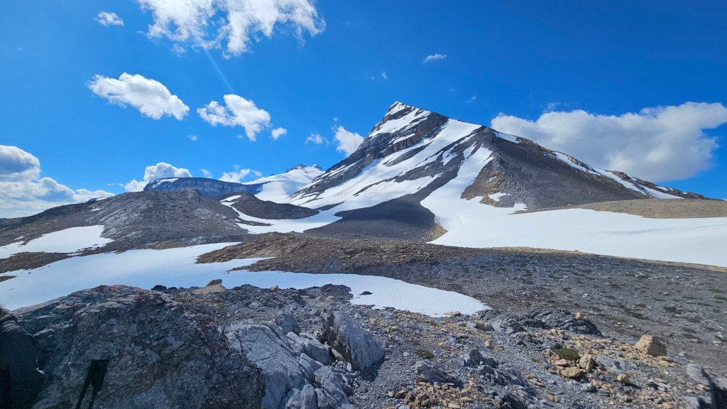
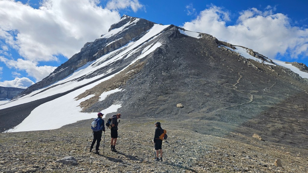
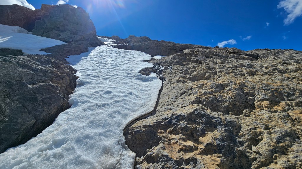
Following up the darker slope, we hit our only real-roadblock from the lingering snow: a narrow steep section at the top of the slope covered by a thin icy layer of snow. A couple weeks earlier and this section would have been boot-packable but we all collectively decided against this. One option would have been to tackle the down-sloped slabs to the looker’s right (ironically we did this on descent), however Tyler scouted ahead around the ledge further to the climber’s right and crested the ridge itself. He topped out ahead of us and said the holds were good but exposed. The crest narrowed into a “V” feature and indeed it was exposed (almost difficult scrambling for 2m) but the holds were solid. I went last and being my first scramble of the year psyched myself out towards the end of the “V”, having flashbacks to my injury last season. It took the whole team’s encouragement for me to shake off the nerves and commit to the last couple moves.
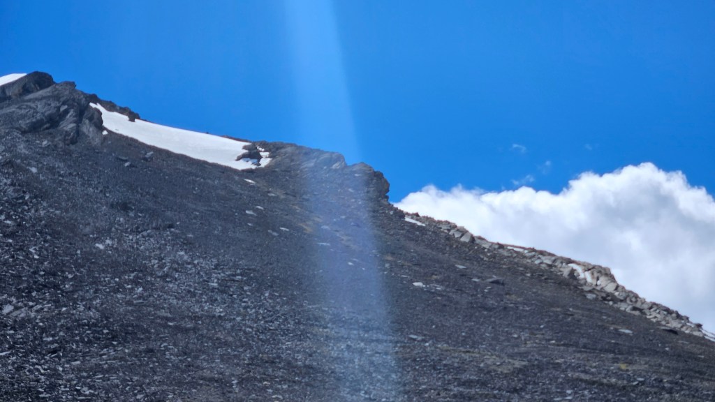
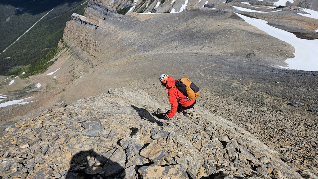
Regrouped above this section, the remaining couple hundred metres to the summit resumed a path-like route through the shale and scree. The winds picked up and while the weather remained dry the temperatures plummeted. The solo hiker we spotted earlier was now on his descent and passed our group shortly after clearing the crux section. According to the summit register he was the first name for 2026 with our group being the second! We reached the summit around 12:25pm and hung around for half an hour before the cold got to us forcing our descent.
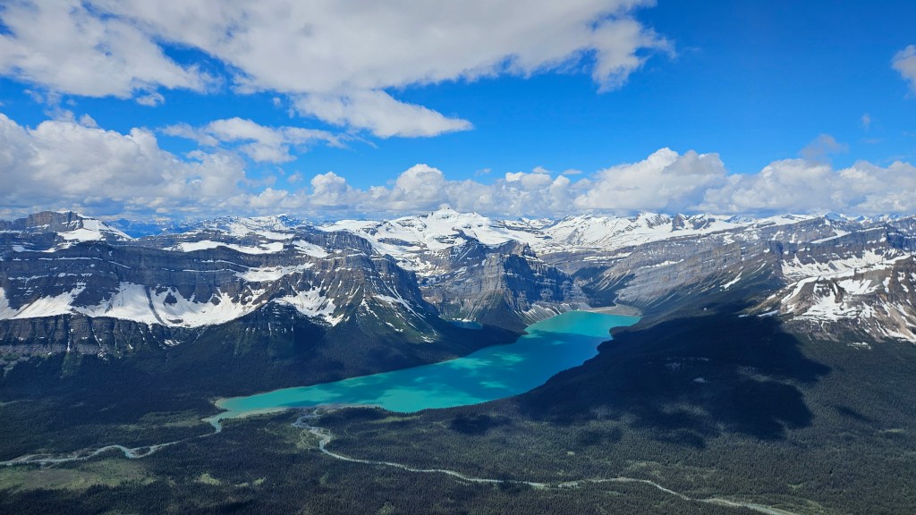
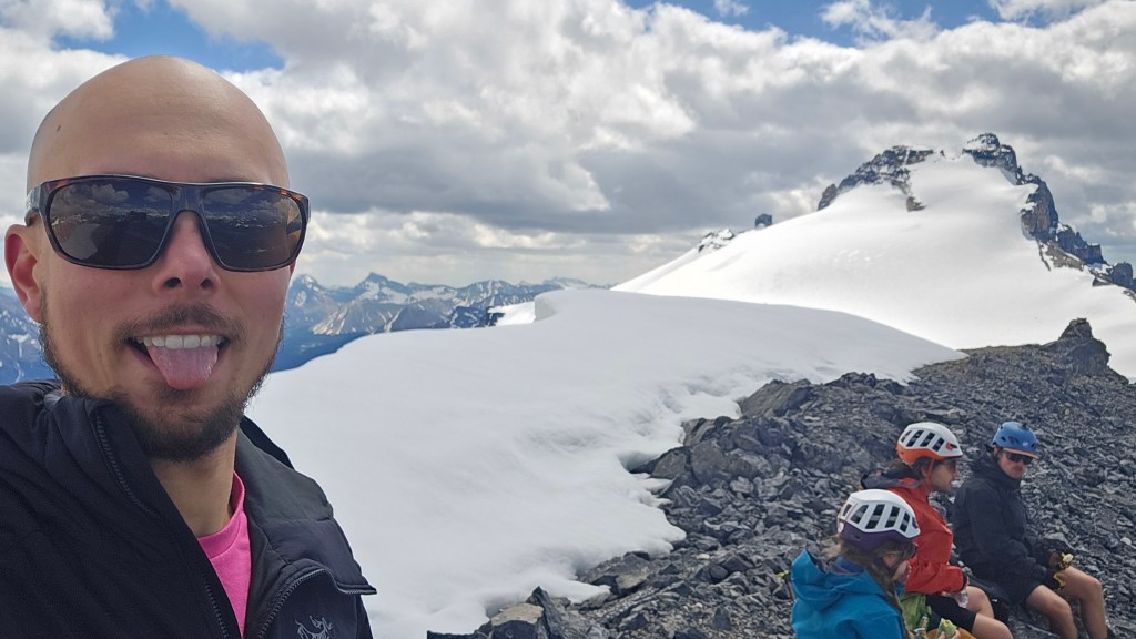
Dark clouds were looming over Yoho and Bow Lake with the winds steadily picking up, so we took that as our queue to leave. It was a cold fast descent back to the crux area, thankfully the weather remained dry despite the blustery conditions. We ran into one of the party from the waterfall earlier who seemed a bit shaken from the crux, and we collectively decided against downclimbing the “V” feature used for ascent. At first we considered the snow patch itself but recalled seeing ice underneath it earlier (plus it was hella steep), so instead opted to crab-walk down the slabs. It took a few concentrated, committing moves to achieve this but we all made it down the slab, navigating a slight diagonal weakness with very grippy down-sloped rock. Would not attempt said spot if wet! I imagine if this section had been snow free, the snow covered section would likely have been an easier scramble and the crux we used likely unnecessary.
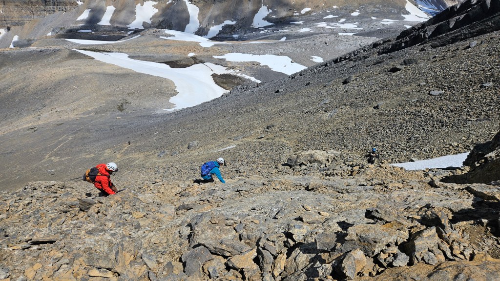
Beneath the crux we retraced our steps from earlier, following a path most of the way back down towards the basin. The weather remained dry during the return hike, but the wind remained relentless until the bottom of the basin section near the top of the waterfall. One positive with the wind was that it kept the mosquitos away, which had been quite the bother when we scrambled Andromach in 2018. Remainder of the return journey was uneventful with team moral remaining high. We made it back to the car almost at the 7 hour mark. Overall a great day out, excellent effort-to-reward ratio for this one. If snow free, would rate as an Easy Scramble that is mostly hiking.