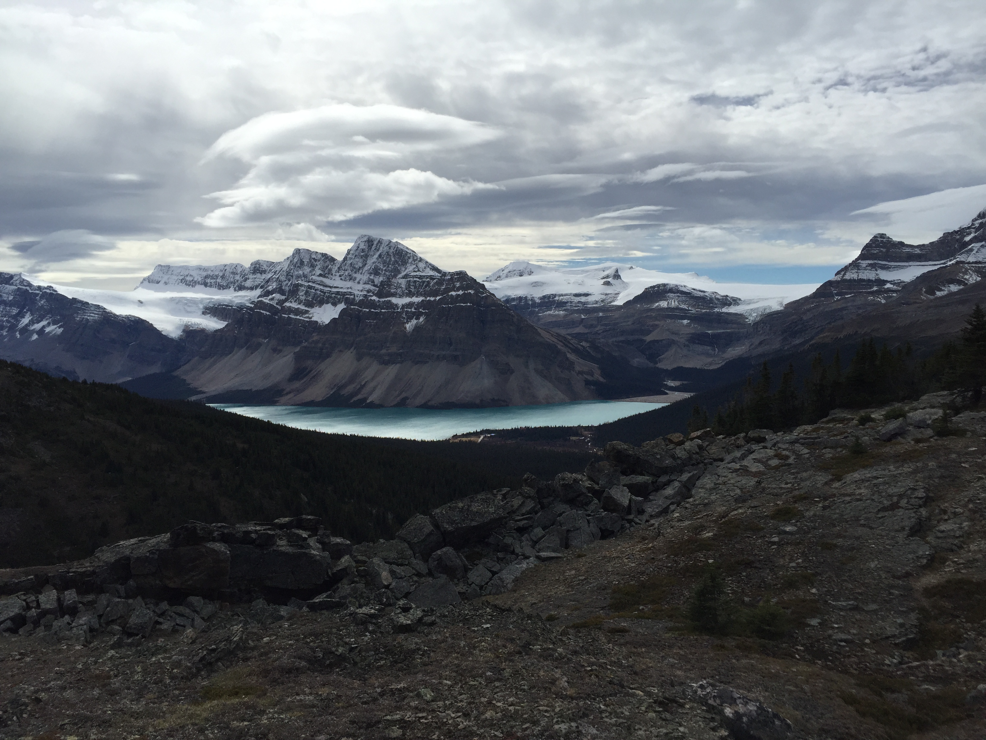
September 29th 2015. Icefields Parkway, Banff National Park
Round Trip: 8 hours Elevation Gain: 1000m
Moderate Scramble
Update: As of January 2026, I have seen on Peak Visor “Observation SE1” assigned to the adjacent bump immediately east of where I ended up in this trip report. Peak Visor has this subpeak listed at 2960m. I recall the highpoint I reached seemed marginally higher but that was also +10 years ago. Given its the same ridge, I have re-named this report as Observation SE1 though haven’t changed the name in the report itself.
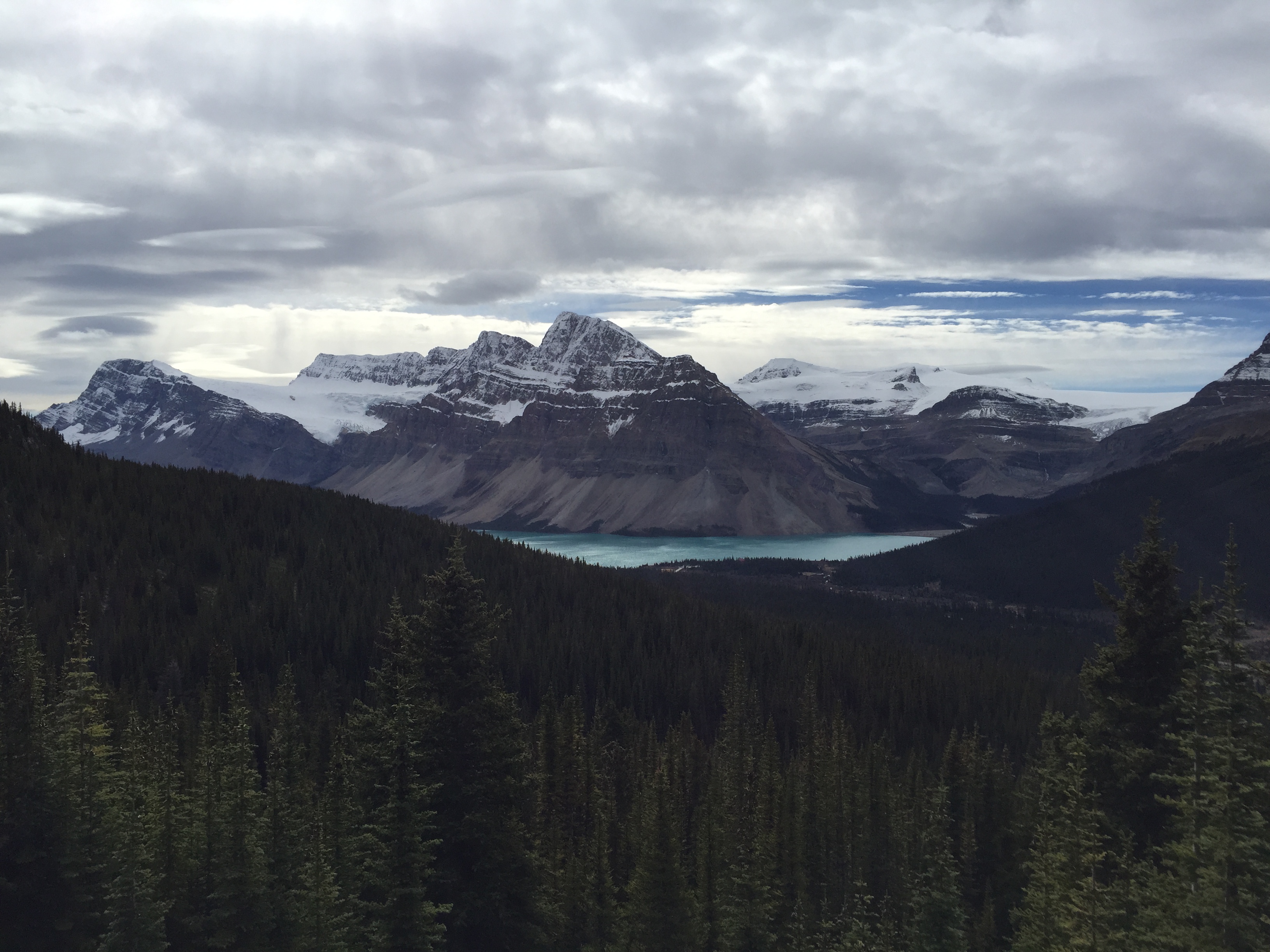
I’ve assigned the name of “Little Observation” to an unnamed high point of Observation Peak’s south eastern ridge. Little Observation 3000m is approx 1km southeast of Observation Peak’s false summit. On the 5th edition Gem Trek map of Bow Lake, this unnamed point can be identified by a small glacier lying immediately north of the ridge. From the ridge a wide drainage travels southeast before redirecting west; immediately south of that creek lies Cirque Peak.
The “peak” itself is barely more than a high point of the bowl, which sees more winter ski touring ascents than summer scrambling. Nevertheless, it made for an excellent day of route finding with some interesting moderate scrambling. Jules lead this one, as he had previously toured it in winter and was curious to see it in summer… albeit it was technically early autumn when we were there.
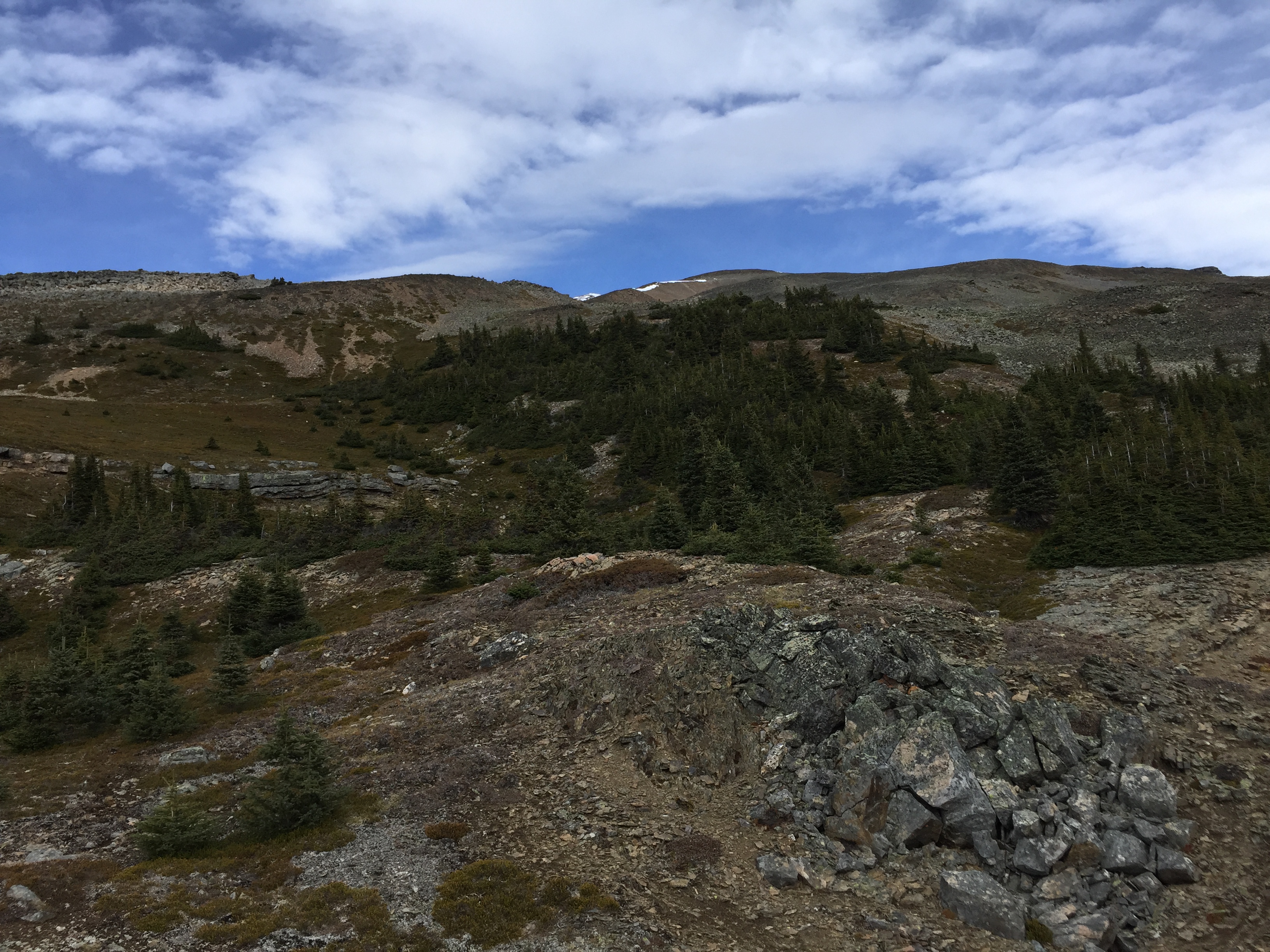
We parked on the side of the highway, approximately 2km south of the parking lot used for the regular scrambling route up Observation Peak. From the side of the highway we hiked east through the forest up to the edge of treeline – although lush with mosses and fungi there wasn’t much “bush whacking” involved.
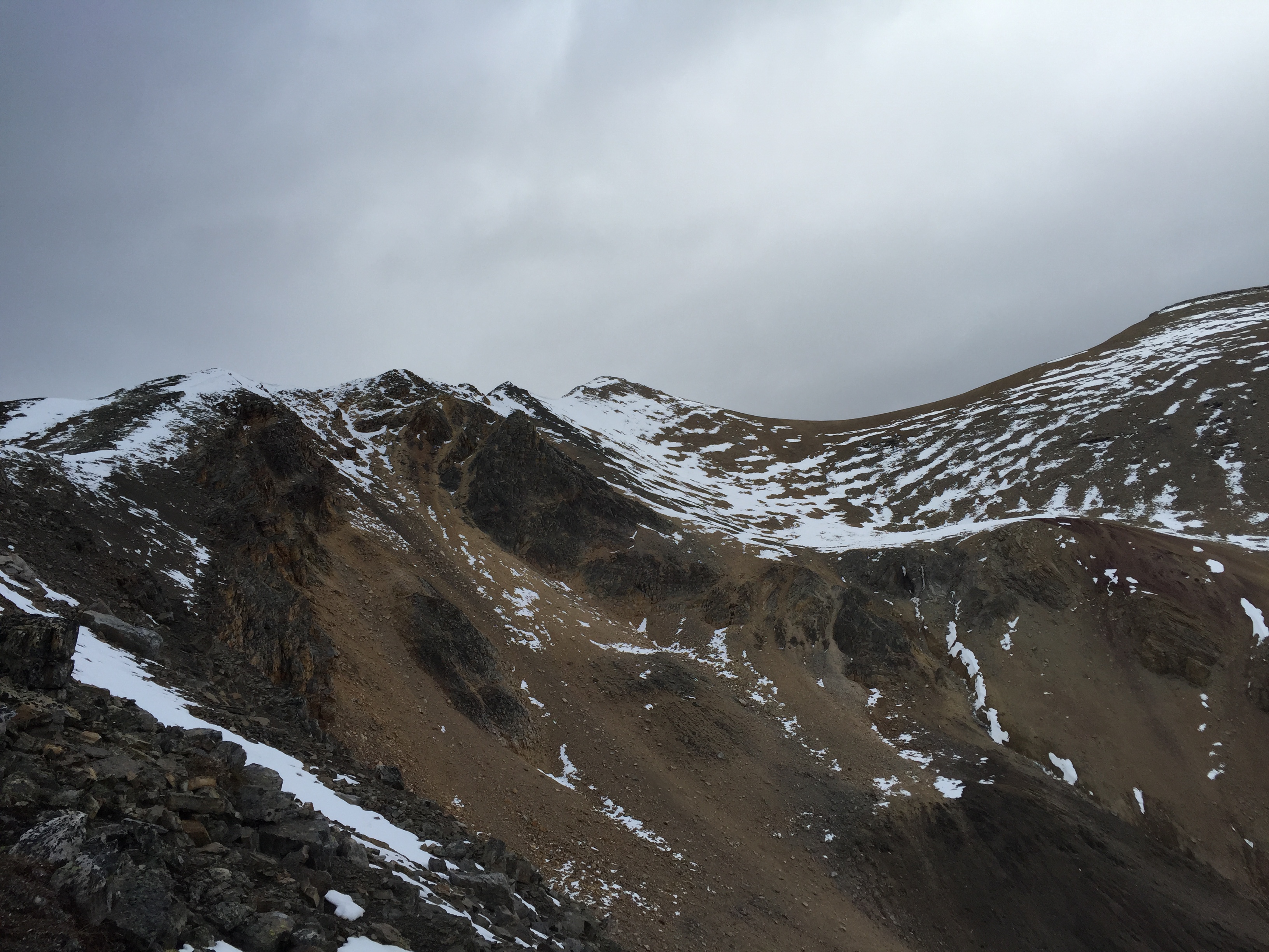
From treeline we traversed south across the slope to gain the ridge line. An easy hike up the talus and once the ridge was obtained the scrambling began. At first quite easy, the moderate bits present themselves higher up.
While obtaining the ridge, we encountered a few small rock bands littered with large boulders. An easy scramble through here with a few hands-on moves. Above the rock bands the ridge becomes more pronounced and briefly mellows into a walk.
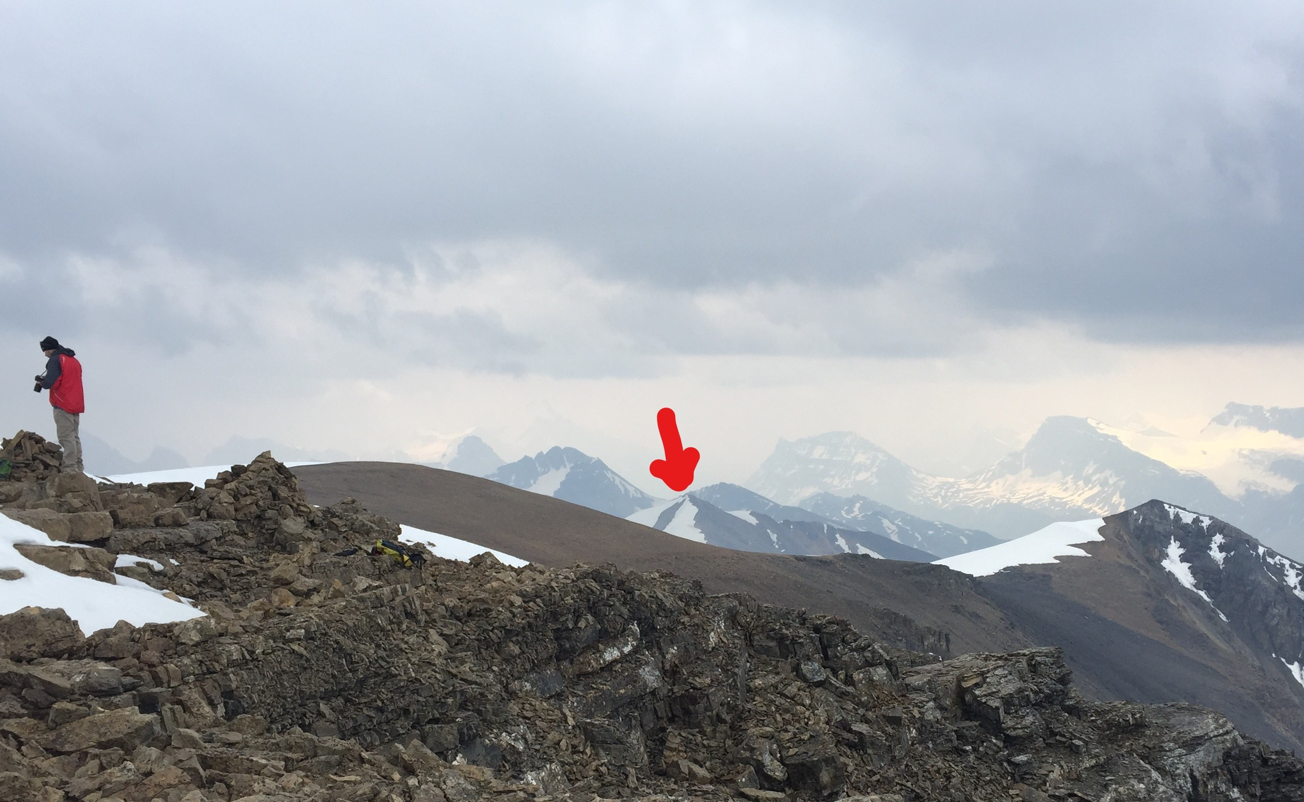
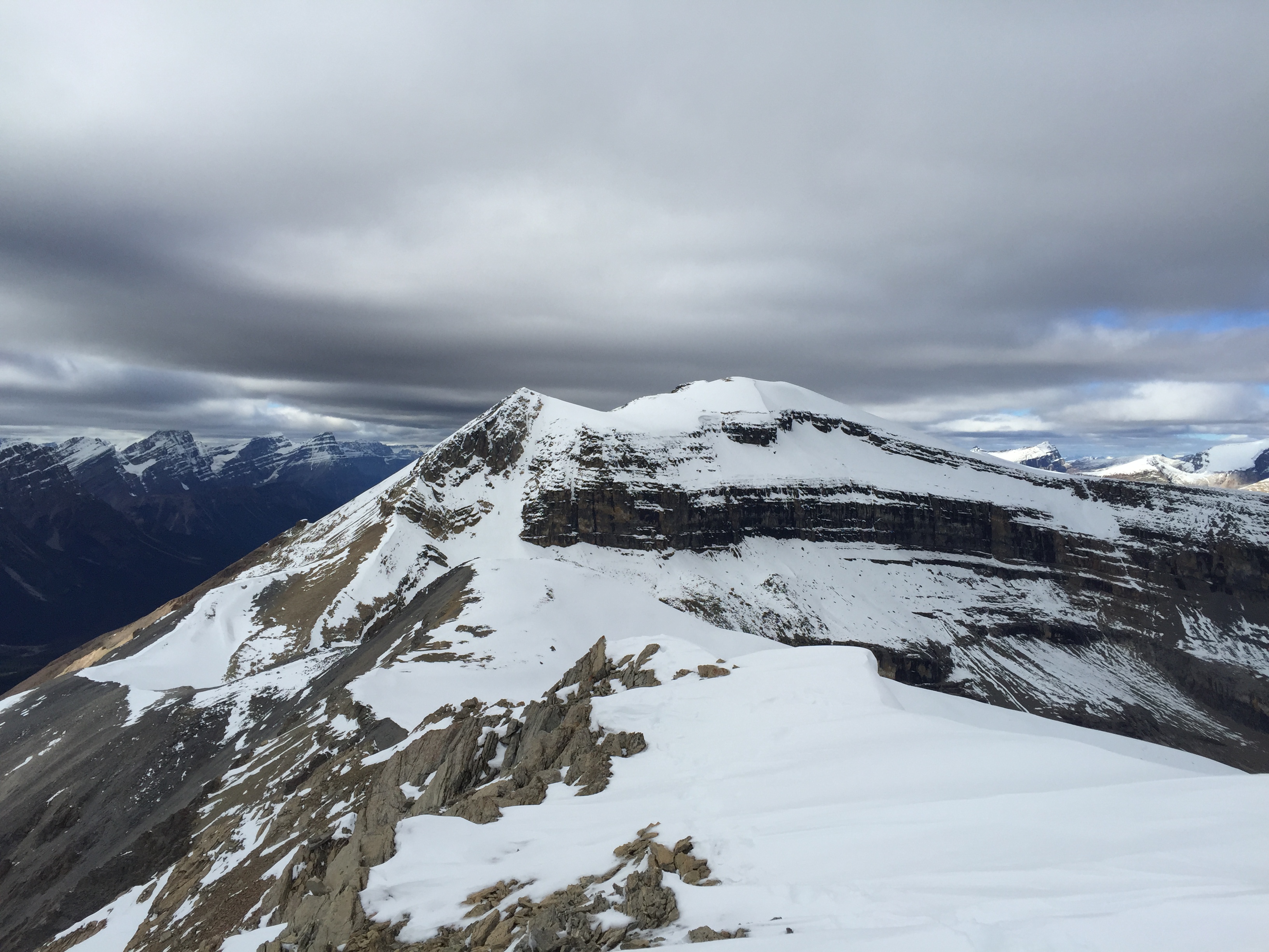
Towards the north end of the bowl the ridge narrows and the exposure increases. The scramble sustains a moderate level across these higher sections to the high point situated in the middle. Up top I took a GPS reading of 3000m (probably a bit higher than accurate) and could see foot prints leading towards the proper Observation Peak – indicating that it might be possible to traverse both.
Jules had shied away from the high point concerned about the level of snow. There were some early autumn cornices at the top, one of which I slipped through coming back down the ridge. Thank goodness I had my ice axe and was able to self-arrest before falling too far away! One of many rookie errors that season on my part.
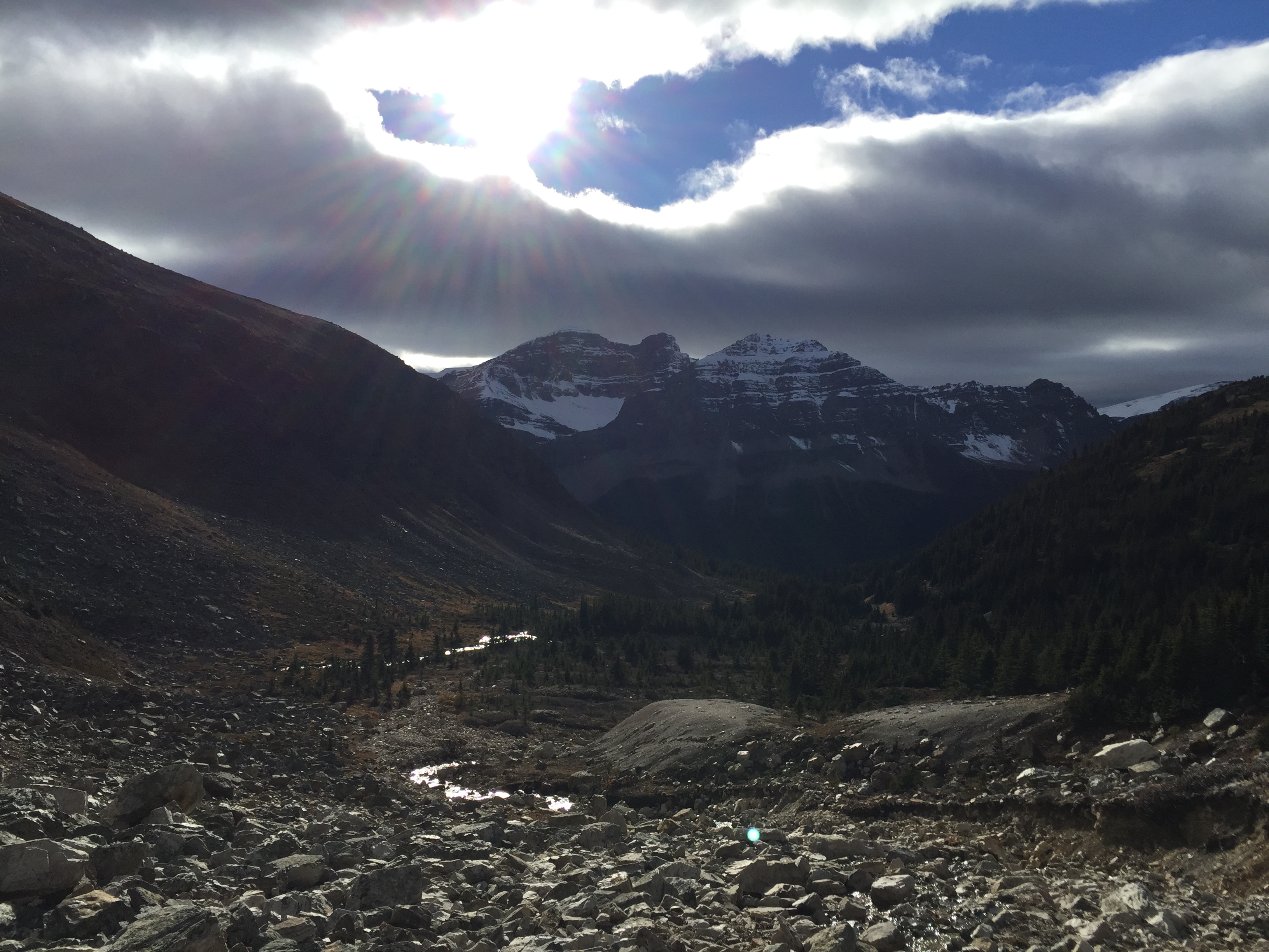
We opted to follow the ridge all the way down to the major creek that runs under the shadow of Cirque Peak. Although this was more direct to the highway the banks of the creek were seriously eroded which added a few hiccups. We primarily stuck to the south bank (Cirque Peak side) but ended up crossing back and forth several times to avoid the steeper sections. Numerous times we had to regain and re-lose elevation coming out along that creek.
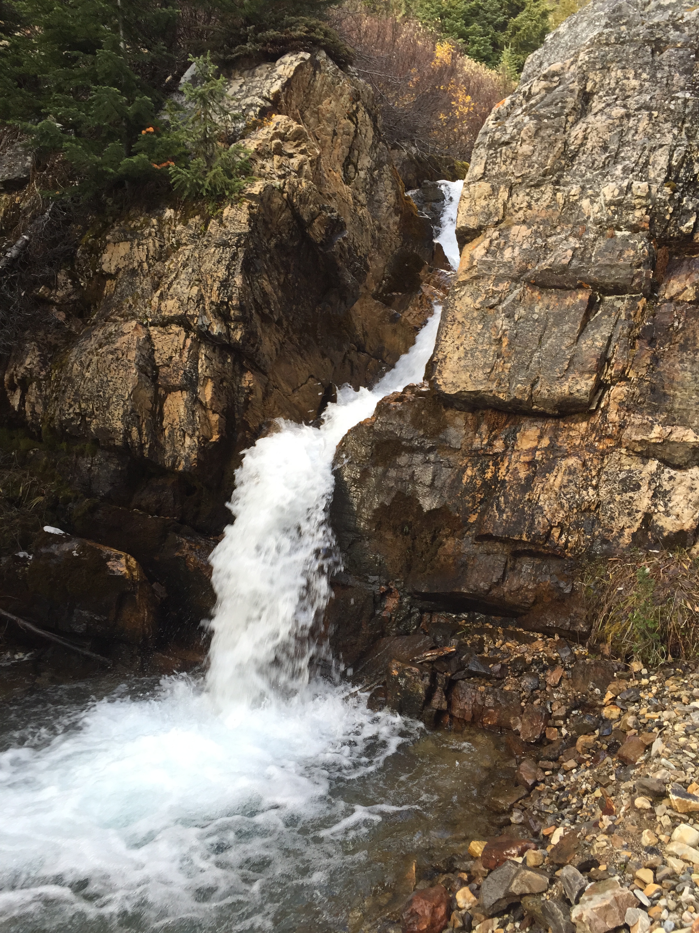
The “crux” of the day ended up being a 4m high waterfall with large block like rocks. To bypass it we had to go wide to the south (right side of the photo below). The route we took avoided the spray of the falls but still involved some moderate to difficult scramble moves. After this down climb we opted to ditch the creek altogether and bush whack our way back to the car. In hind sight we should have simply taken the slope down through the tries directly to the road from the ridge.