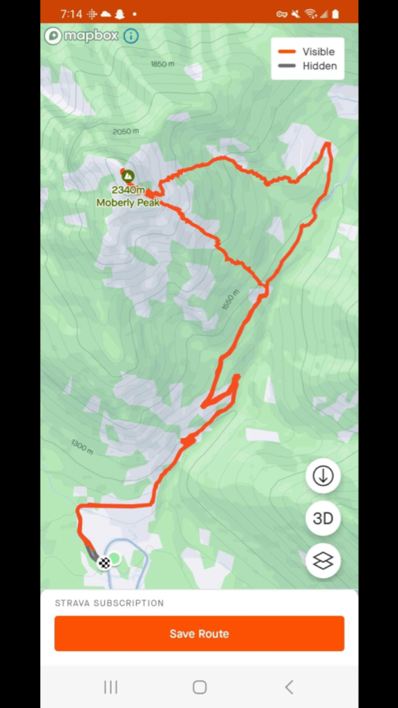
May 15th 2023. Golden, British Columbia
Round Trip: 11.5 Hours, Elevation Gain: 1220m
Moderate Scramble w/ Bush Whacking
Moberly appears as a cone-like peak when viewed from the town of Golden, and has been on my radar since moving here in 2021… Turns out a lot of our friends had this peak on their radars as we started the day as a group of 5, and know of a second group that went a week after us.
After consulting a couple buddies who have previously summited this peak, our consensus is that there is no real ‘official’ route for this one. The beta we sourced suggests an approach from the northeast via Hospital Creek FSR, but ultimately each report involved slightly different ascent routes. Apparently there is also a direct way up from the old silica mine but that may involve trespassing so we stuck with the Hospital Creek FSR approach.
We loosely followed the route described in Golden Scrambles. Our buddy Dan had previously attempted Moberly in 2022 and took a different gulley slightly more northwest of where we would eventually ascend. Dan’s 2022 trip ended in turning back just under the summit block due to oncoming thunderstorms, as well as very sketchy scrambling conditions. Needless to say, on May 15th when we all met up at the end of Oster Road, Dan had a fire in his belly and was eager to summit no matter what suffering lay in store for us that day!
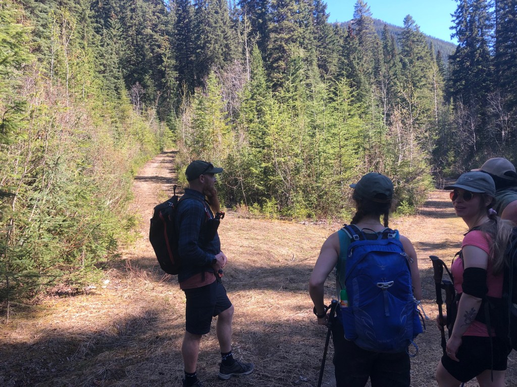
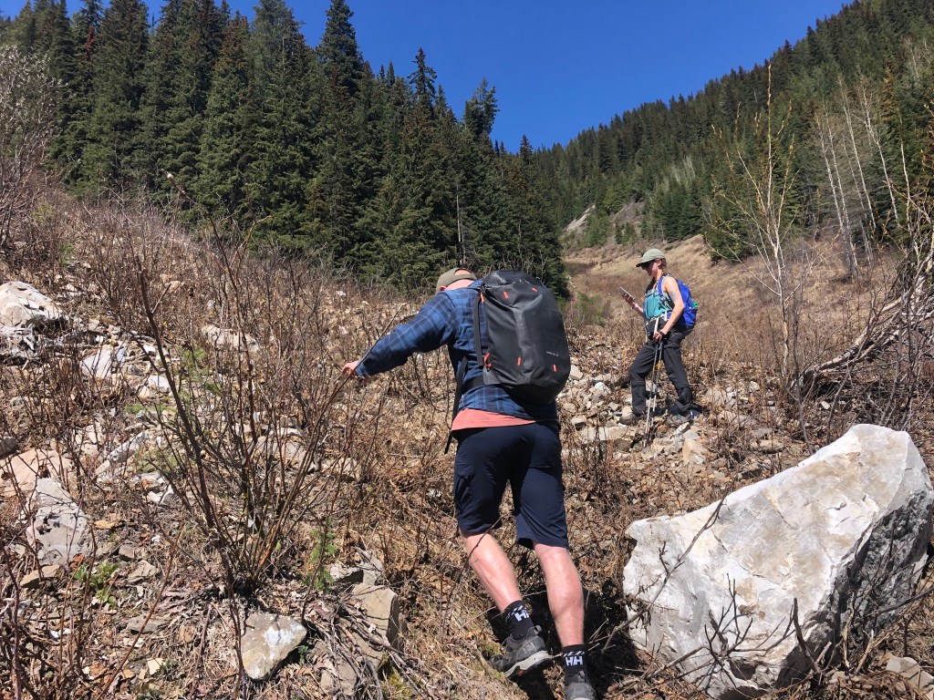
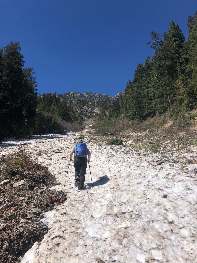
We set out by foot at 8:30am from Oster Road along the Hospital Creek FSR, reaching an old cut-block two hours later. I believe this is the same cut-block referenced by Golden Scrambles, but we were primarily retracing Dan’s approach from 2022. Once at the cut-block we entered into the forest through medium-thick bush whacking, working our away towards an avi path. This path was THICK with regrowth, rivalling the bushwhack we experienced on the Clamshell in 2021. Definitely for me this is in the top 3 worst bushwhacks.
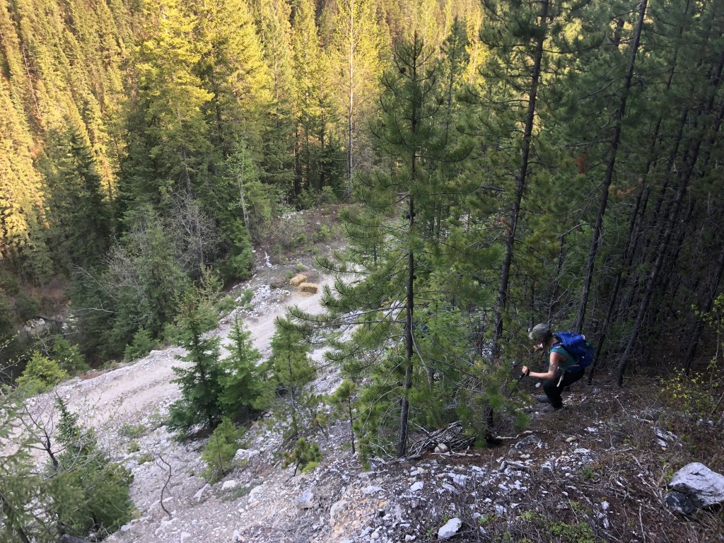
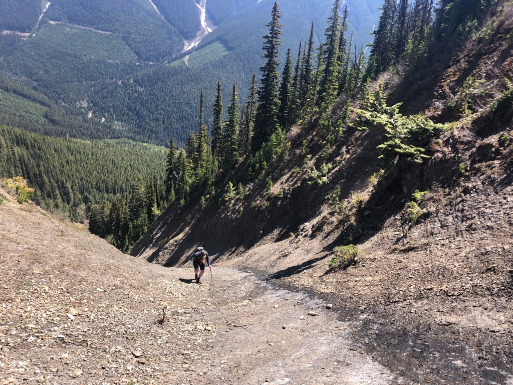
Two of our friends who had tolerated the first 45 minutes of bushwhacking (admittedly, the worst parts) decided to bail around the 1 hour mark. Shortly after they turned back we spotted a snow patch above the vegetation and pushed on, clearing the vegetation a mere 20 minutes later. In total the bushwhack portion from the cut-block to the top of the Avi path was around 1hr 15m though had felt infinitely longer. It is worth mentioning that when we spotted said snow patch, there was a natural fork in the path – we went looker’s left as Dan believes he previously took the gulley on the right (see photo below) which had led to sketchy terrain.
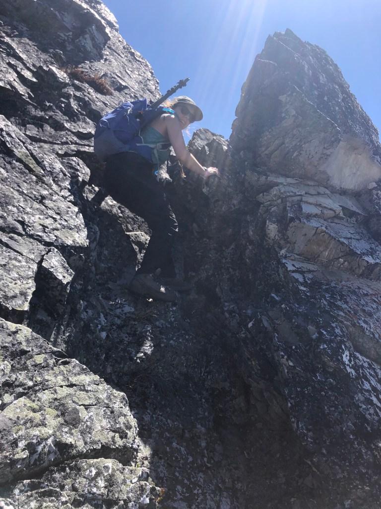
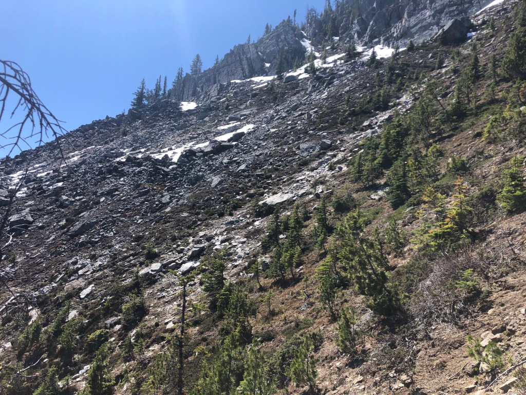
Above the bushwhack the gradient drastically steepened and the footing was poor hard-packed shale litter. Bri stuck slightly to the left gully while Dan and I briefly attempted the middle… a few minutes of stressful route finding later, and we all gave up on our respective gullies. Bri was outside of earshot so Dan and I decided to scramble the rib between gullies and traverse to our left (south). This section was garbage, loose dirty rock, flirting into difficult scrambling – thankfully this was a very brief section and we were soon after regrouped atop of a shrubby set of ledges. From our rest stop, the grade mellowed out and we traversed slightly further left (south) where we next scrambled up a treed rocky slope eventually towards the summit ridge. This treed slope was a finicky mixture of moderate scrambling and to our surprise more bushwhacking!


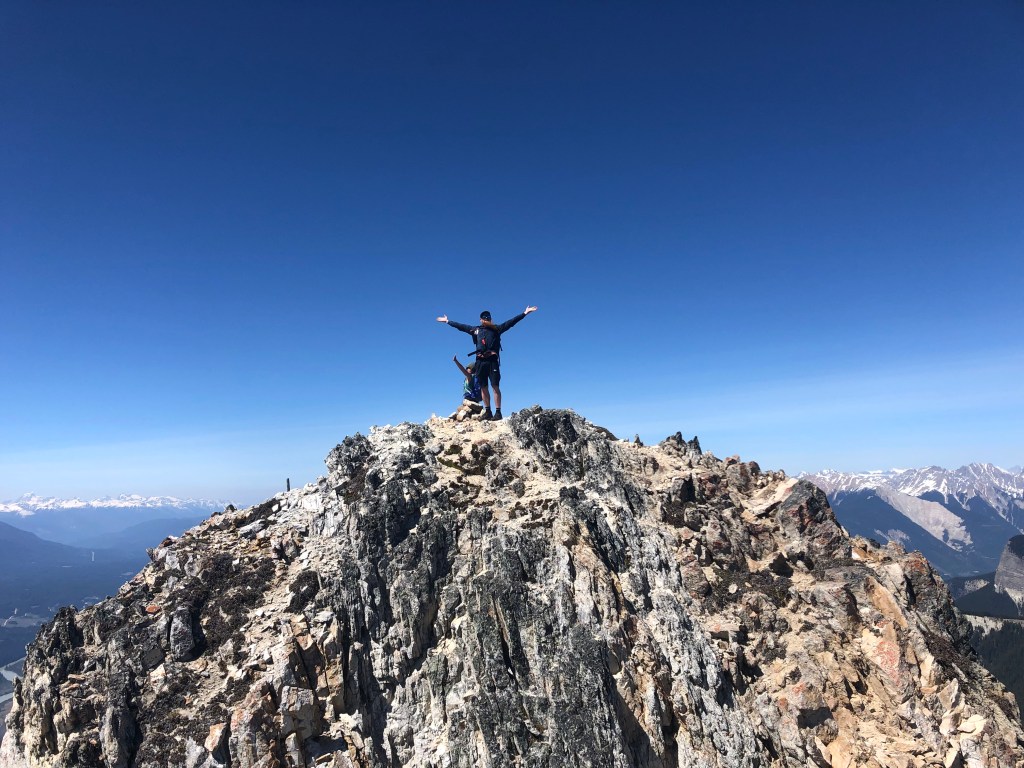
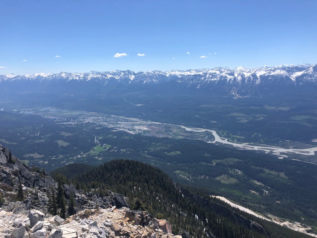
We finally reached the start of the summit ridge around 2pm and this was by far the best portion of our adventure. The traverse of the summit ridge involved around twenty minutes of good moderate scrambling with an airy drop over the north side. The “crux” if you will, was a brief downclimb step that got us into 4×4 mode, Bri aptly made a slide out of it. What an adventure for first peak of the scrambling season! We sat down for lunch and reaped our visual reward for the earlier suffer fest, it was mutually agreed on that we would attempt descending one of the gulley’s we spotted under the summit ridge in effort to shave out some of the distance of the return journey.
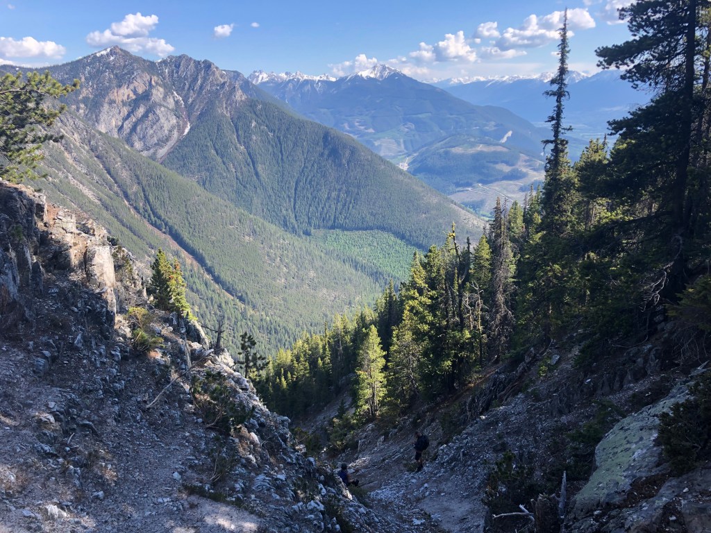
The gulley we chose was further south than the avi path we ascended earlier, this downclimb was sustained moderate level scrambling through dusty crumby shale. Arguably this was as steep as our ascent route but much more direct and with less tree branches to crash through – once back in the trees (older growth) it was a steep yet light bush whack back to the FSR. In taking this alternative route down we shaved nearly 2km off the FSR walk, and reappeared at what looked like an old gravel pit next to a small bridge. The remaining walk back to the vehicles was uneventful, we were just stoked to be out of the trees and on open ground again. What a day!
After note: our friend Anne went the next week and supposedly followed flagging most of the way up… this flagging was found a couple hundred meters along the branch road past the cut-block we had used. I’m personally content with doing this peak once, so will not be confirming this for myself.