
July 6th 2018. Icefields Parkway, Banff National Park
Round Trip: 10 hours Elevation Gain: 1200m
Easy-Moderate Scramble
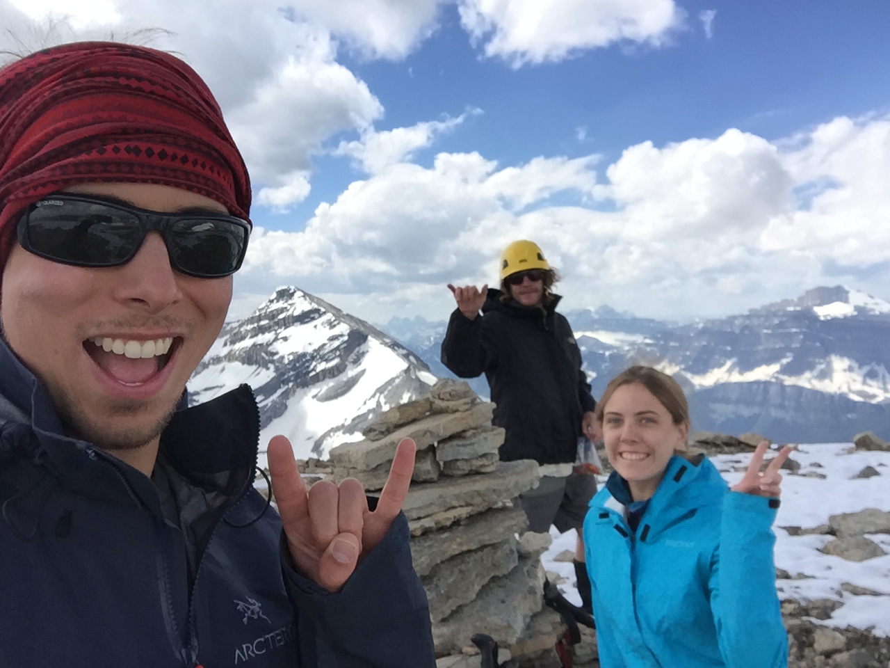
Mount Andromache 2996m is an unofficially named mass immediately north of Mount Hector & Little Hector. The mountain boasts two peaks, the ‘Unnamed’ one is surprisingly the higher of the two at approximately 3040m. Our team consisted of myself, Bri, and Scott. We followed Kane’s (2016) route for the initial approach via Hector Pass and summit push, but gained the hillside much earlier than what is suggested. For the official route, please refer to Alan Kane’s (2016) Scrambles in the Canadian Rockies 3rd edition.
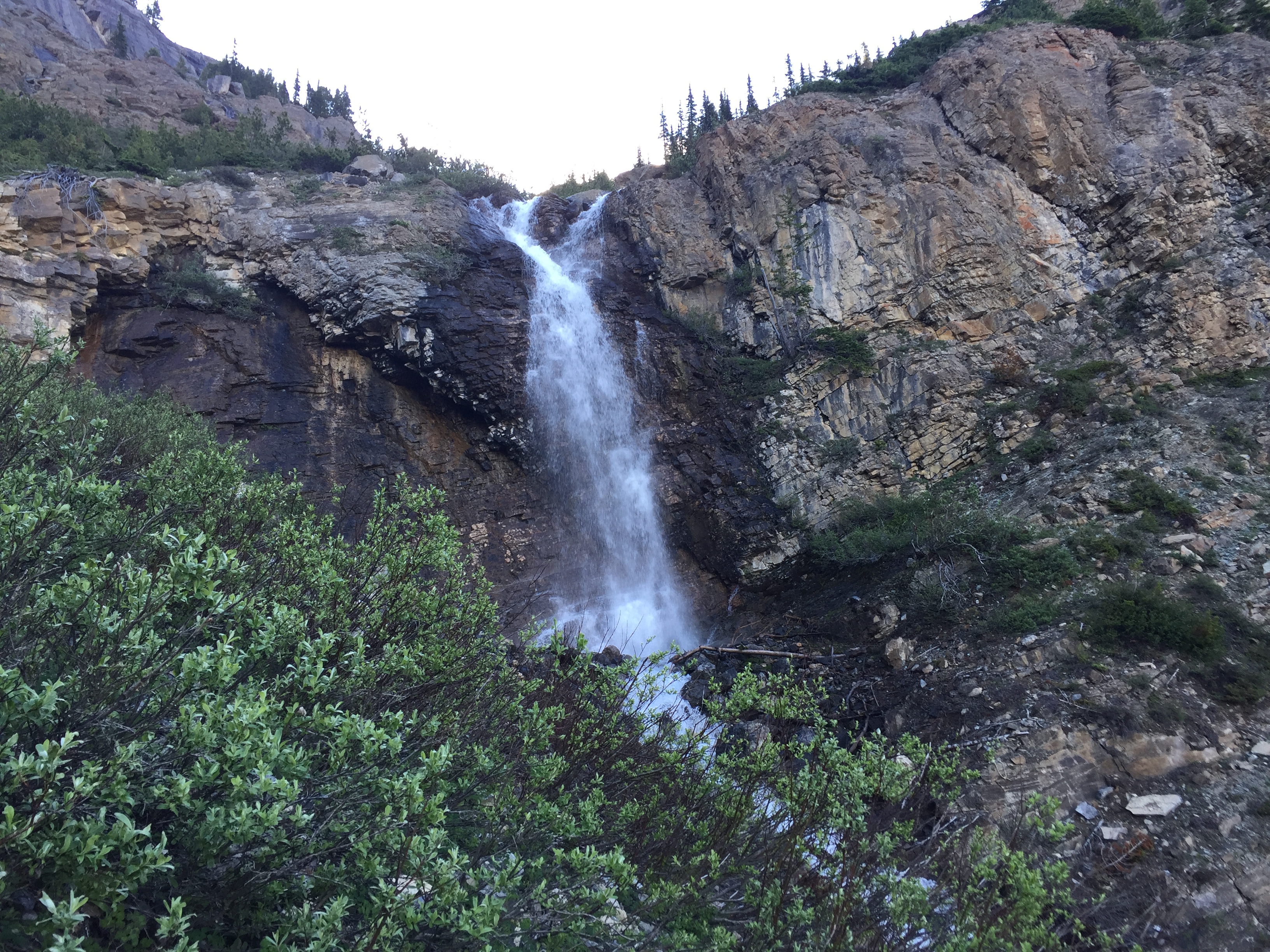
The “Crux” of the day is early on – in fact – we found the scramble up the left side of the waterfall to be the harder than anything encountered on the actual mountain. The footpath leads right into it and is well marked with a cairn. Brief exposure but nothing more than a couple moderate scrambling moves.
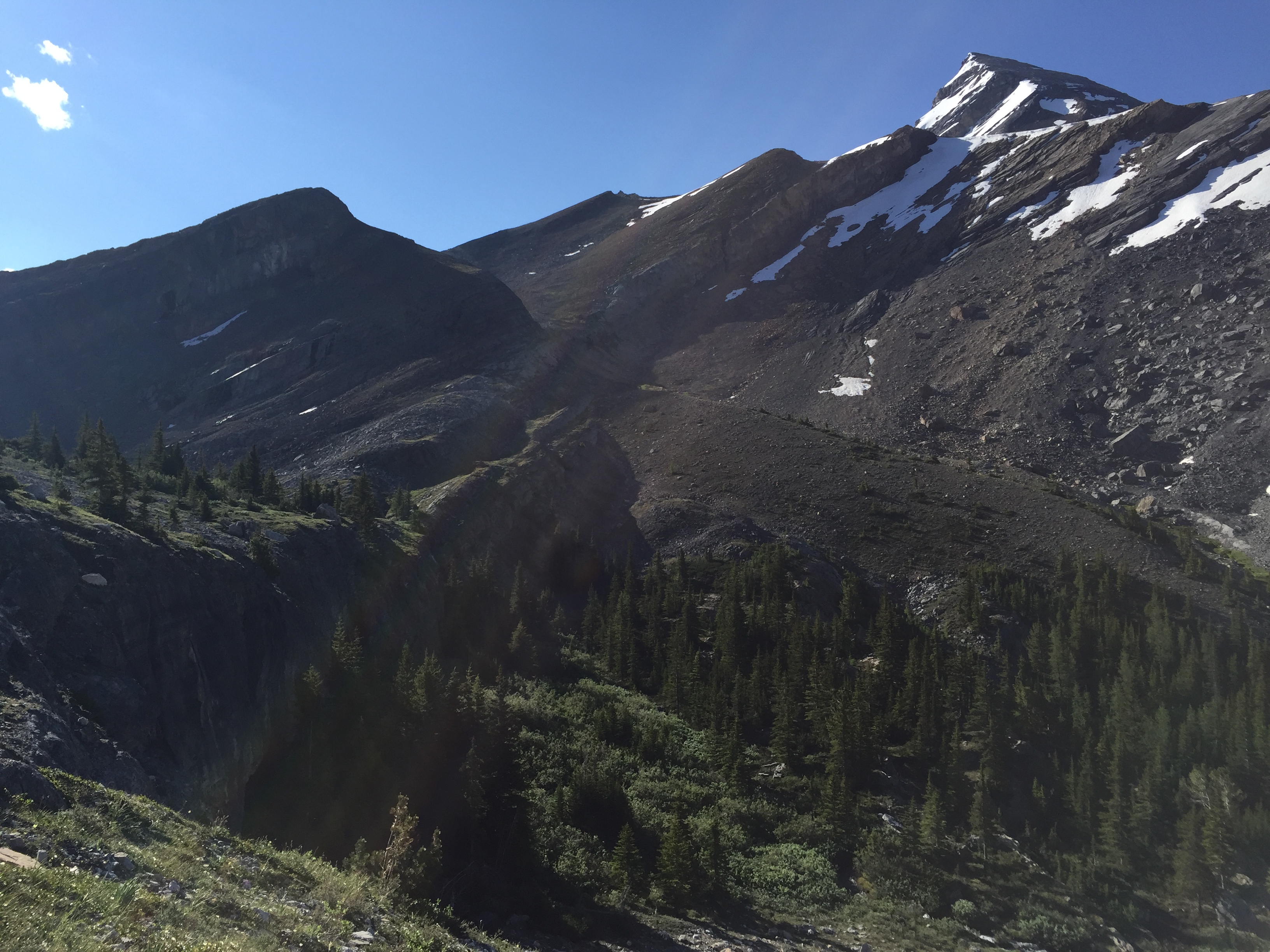
The views are amazing but the basin holds a fair amount of still water – thus hordes of ravenous mosquitoes. Bring bear spray as there were a few hidden pockets of ideal grizzly habitat.
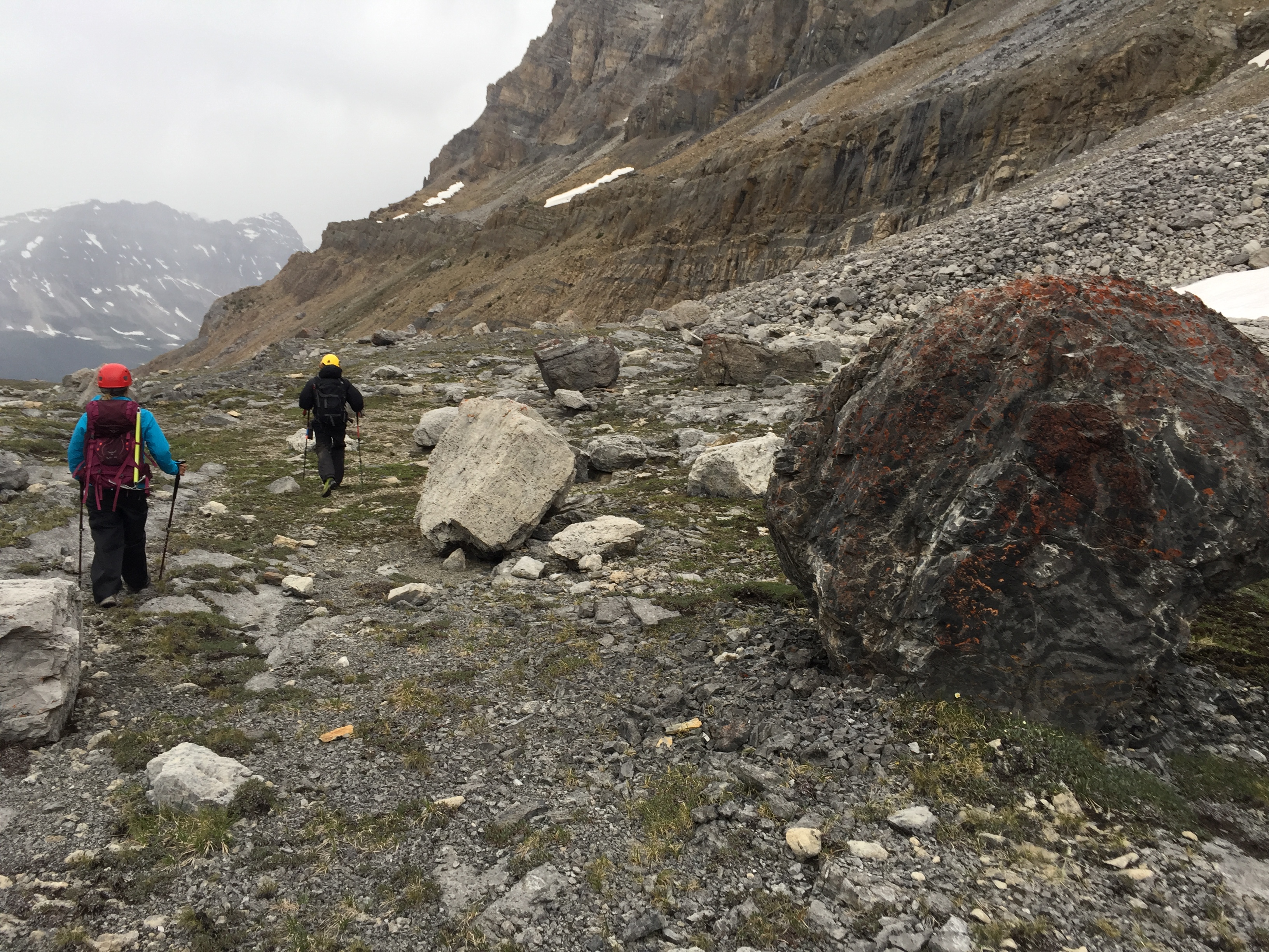
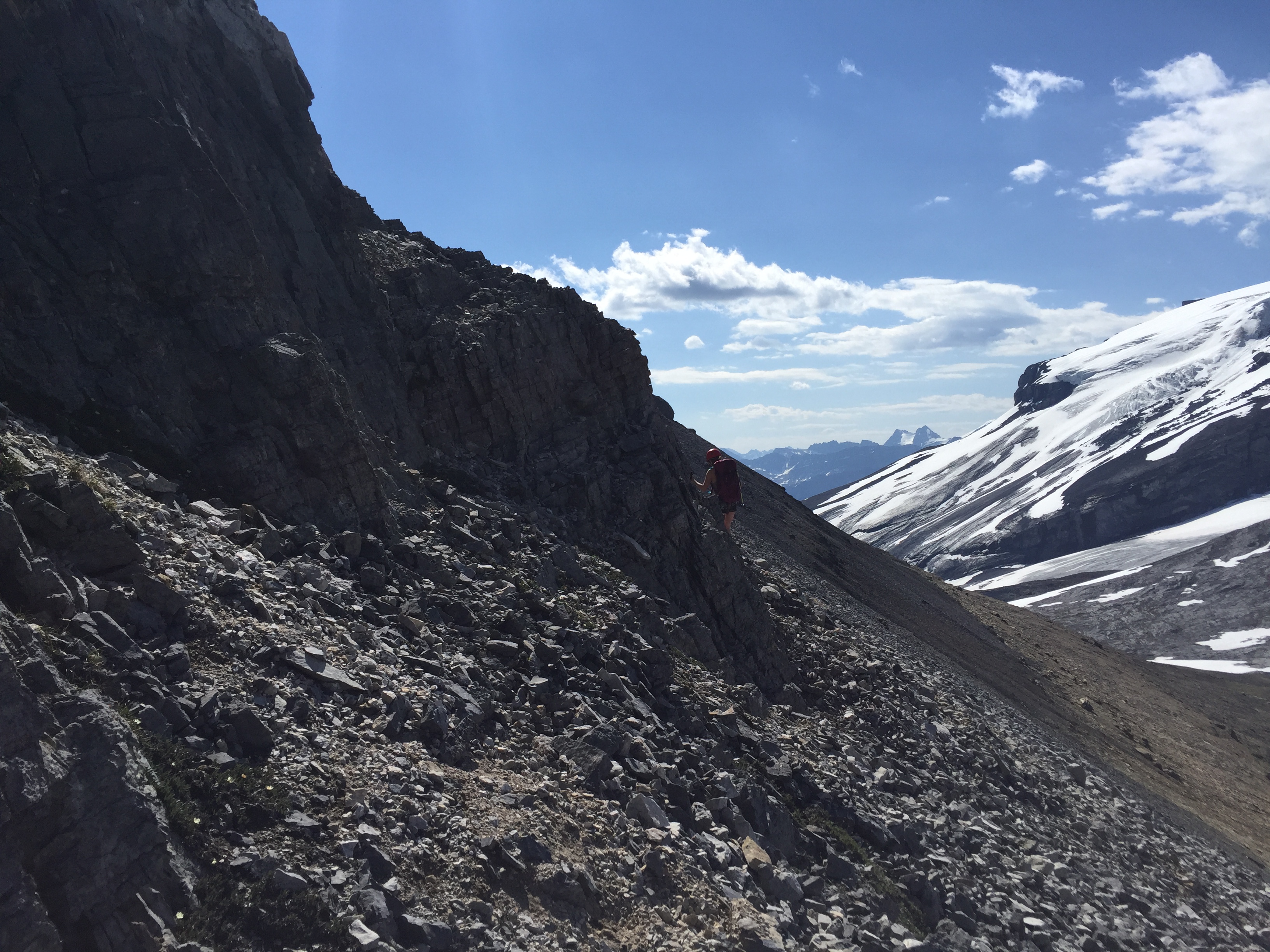
We chose to ascend the southern ledges of Andromache and side hill our way across to the col very early on into the basin. This was to avoid the horde of Mosquitoes!!! This area is foreshortened, regardless of how early you gain the slope.
The side-hilling made for steep but mostly easy scrambling over to the ascent gully. A few areas we encountered involved route finding around waterfalls and occasional cliff bands. Most of this could have been avoided by staying lower in the basin and by trekking back towards Hector Pass before gaining the slope.
We hit a few more brief moderate sections towards the end of the side-hilling. Around the corner we saw our first cairn in felt like hours and found ourselves below the rock bands described in Scrambles (2016). This first rock band offers enjoyable moderate scrambling moves.
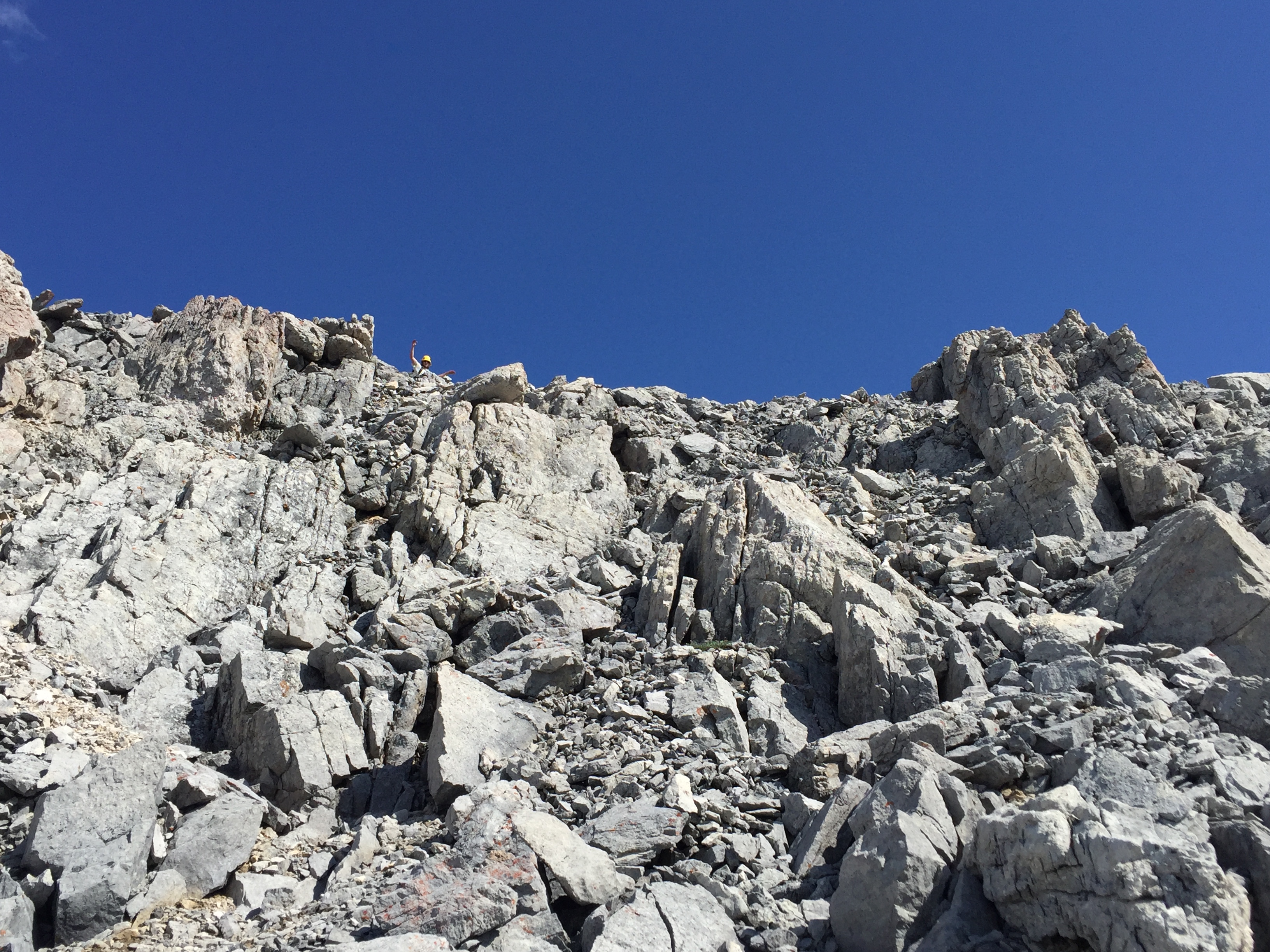
Once up the first major rock band, the scrambling eases to a low moderate and eventually tops out just below the Unnamed peak. From here its merely a hike to the top. For those less concerned with peak bagging, it is possible to hike around this bump and go straight for Andromache’s summit.
Up to the first Unnamed Peak. We measured the altitude on our GPS at 3040m. This is likely off but between two devices the peak was twice measured to be above 3000m.
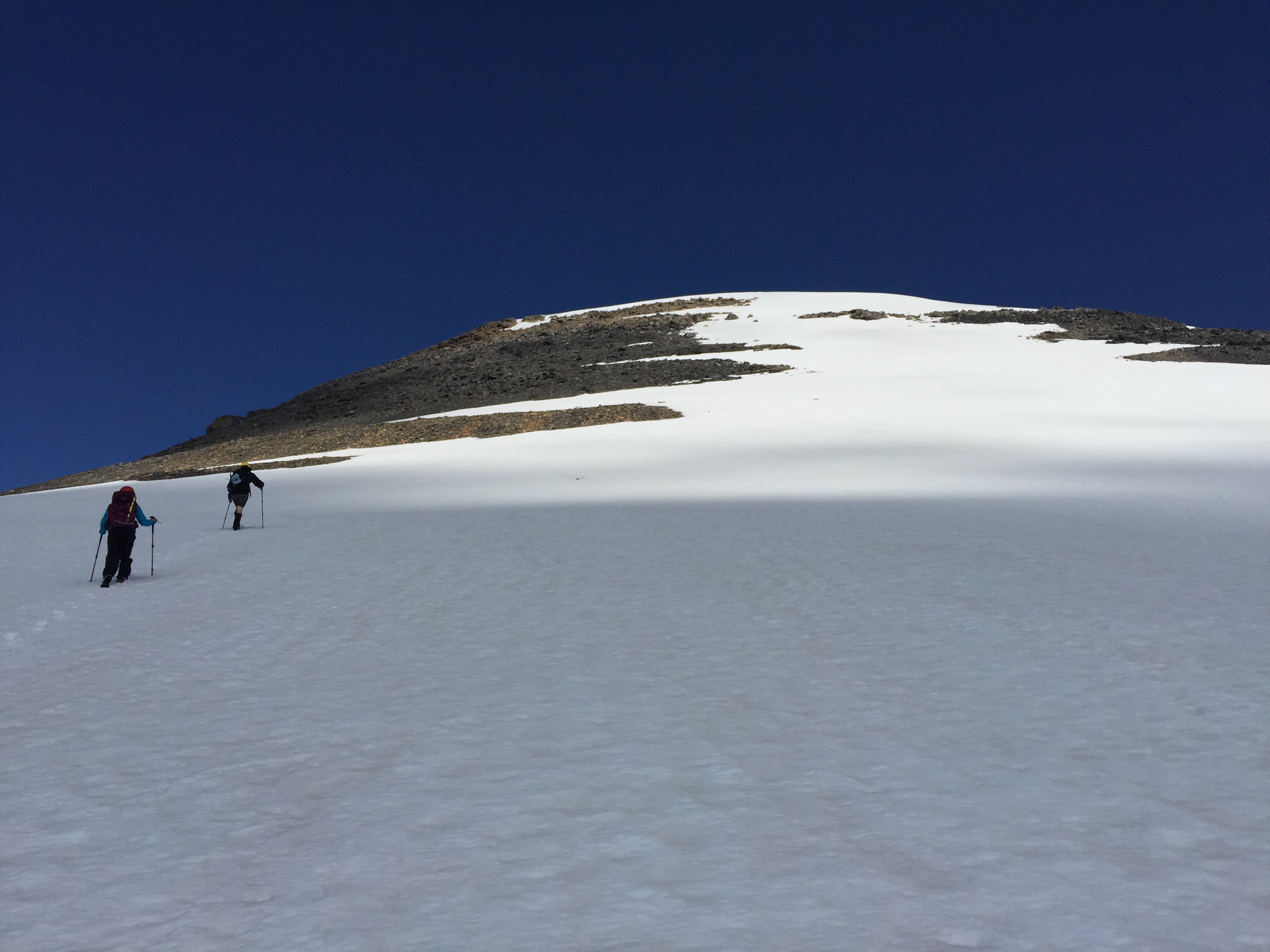
From here to Andromache it took us nearly 50 minutes to traverse across. We were blasted with wind gusts of +60km/h and had some nasty clouds roll in.
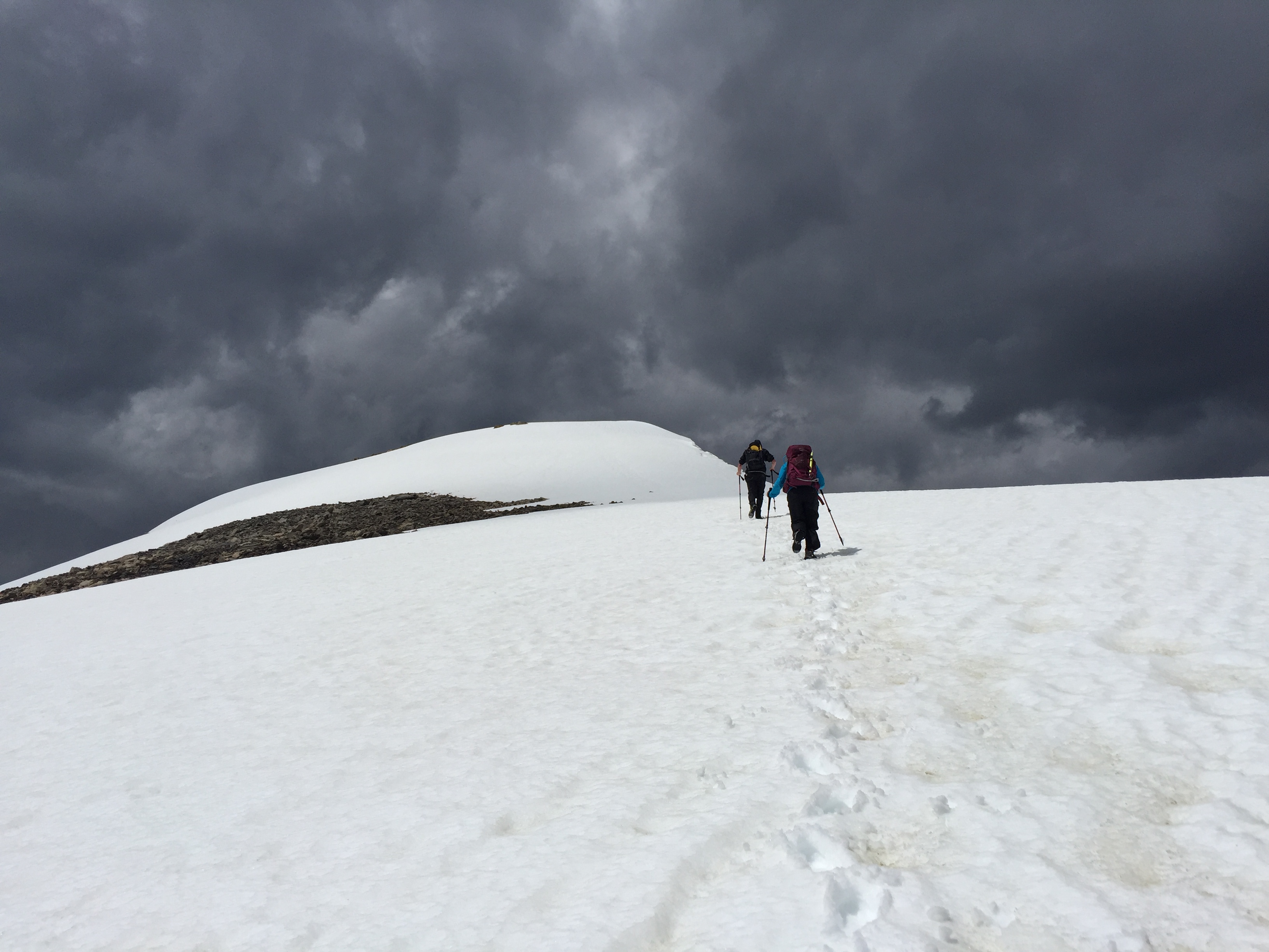
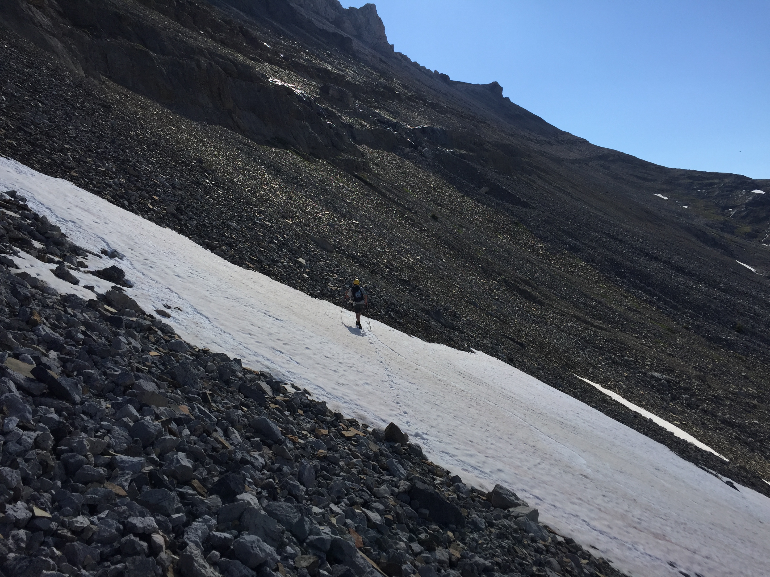
There was enough snow along the traverse to require kicking steps up Andromache’s summit block. There was some exposure just before the summit but no notable scrambling difficulties. In dry conditions it’d fall in the easy category
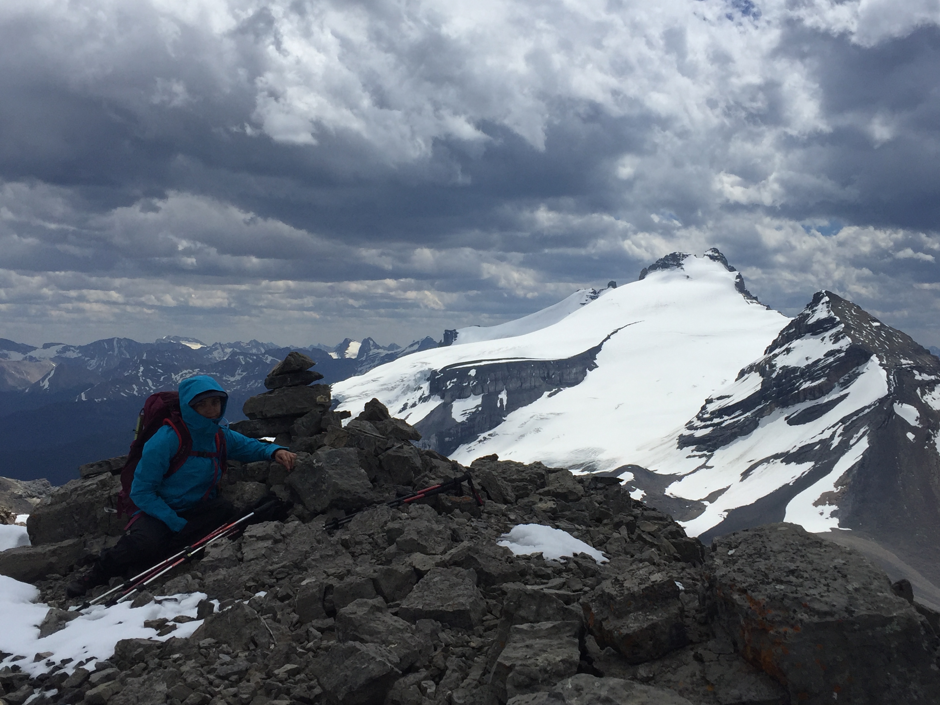
While we were lucky to have nice punchy snow for kicking steps up Andromache there is enough slope here that an ice axe and crampons could be necessary for early season attempts. The route down to Noseeum was snow covered and appeared to require route finding skills from what we could see. We ended up retracing our steps and took the long way back in a thunderstorm. Thankfully we had made it back into the basin by the time the thunder and hail hit. Had it not been for the onslaught of the mosquitoes down in the basin both on the way up and way back, this would have been my favorite scramble of 2018!
