August 18th 2026. Yoho National Park, BC.
Round Trip: 8.5 hours, Elevation Gain: 1300m
Moderate/Difficult Scramble; Bushwhack
Despite its close proximity to Field and relatively low summit elevation, this is not an easy objective. Mount Dennis only sees a couple ascents per year according to the summit register and its easy to see why. The 4ish hour bushwhack alone will deter most would-be peak baggers. There’s no easy way through the forest, nor much of an access point. Quite frankly, I was a bit reluctant to post a trip report for this peak, as I do not recommend it. Lucky for me, my good friend Scott had previously been up Dennis a few years earlier and was keen to repeat it. So, the day after doing Eos Peak I again teamed up with him and Ronnie for this seemingly obscure objective. We had previously talked about maybe going up Mount Ball in Kootenay/Banff but ruled it out in favour of a shorter day closer to home. Plus the weather was unpredictable that day as smokey air mixed with darker rain clouds.
We managed a more punctual start by leaving Golden around 6am, starting our adventure some 45 minutes later. One of the first challenges of the day is accessing the starting point. More so, accessing a starting point. We parked near the boulder operations center west of Field which meant having to cross the highway – an increasingly busy stretch of highway. Its a sketchy crossing as there’s an eastbound overtake lane that ends nearby plus the west bound lane comes out of a curve. It wasn’t so bad in the early morning but required extreme caution in the afternoon.
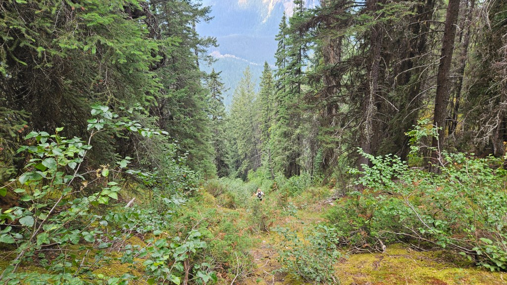
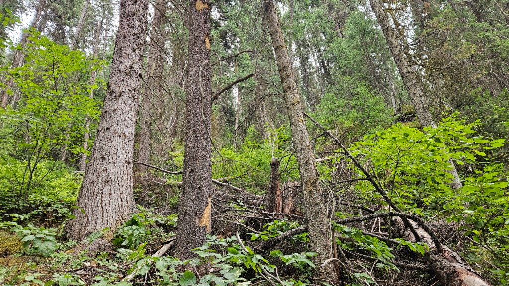
Once across the road we entered directly through the trees and into the thick of it. Right away we were confronted with deadfall and bushwhacking. At least at valley bottom the spacing of the trees gave us some sense of openness… this was short lived and navigating over deadfall proved worse than any of the branch bashing. It was almost claustrophobic at times as we worked our way east up the lower shoulder. Progress was slow, very slow. In the first hour we had only gained 200m of vertical and hardly any distance. Luckily Ronald (aka Ronnie) had a great internal route finding compass and often led us through natural weaknesses in the trees.
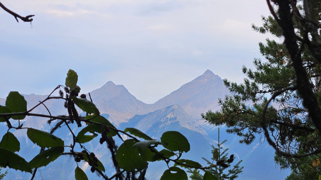
It was nearly 90 minutes before we could even see through the trees looking back the way we came, which is where we were treated to a well framed view of Mount King (another obscure objective on my list). We noticed a lot of scat during this leg of the adventure… earlier towards the highway we noted dried out bear scat. Further up however the scat piles were less bear-like and we first assumed wolf as Ronnie was increasingly interested. However, higher up the scat piles were increasingly more cougar-like and while not steaming fresh they looked recent enough to warrant extra awareness. We kept our chatter loud and intentionally break dead branches to help prevent any would-be wildlife encounters.
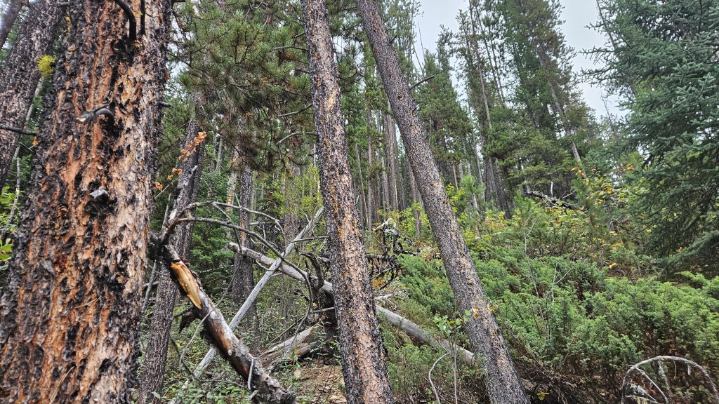
The scat notes are relevant. Higher up, maybe 2/3s of the way towards treeline, Scott and I veered apart through the trees and while we could hear each other we had briefly lost sight of one another. I looked up to the climber’s right and thought I could see Ronnie, so worked my way towards her. A few meters later I looked to my left and could see Scott again, who still had Ronnie on a lead next to him. Wait a sec… I quickly glanced back to my right and could still see the outline of something comparable in size to an 80 pound shepherd/husky mix. I yelled out “BEAR!” and got my spray out and readied. I couldn’t say for sure what it was, a spiderweb of trees and deadfall obscured my view of it. The critter watched us for a moment then turned away calmly and quietly disappeared into the trees. I suspect said bear may have been a big kitty, as the few bears I’ve encountered usually make more noise moving through the bush, such the snapping of twigs, etc. This thing was as silent as a ghost. Spooky!
Regrouped and slightly on edge from my unconfirmed cougar sighting, we pressed onwards and upwards. As we gained elevation we had to trend slightly to the climber’s left to stay high on the shoulder (plus avoid whatever animal I saw). Shortly after the animal sighting though we had to switch our route to the climber’s right as to gain the rib that would eventually lead us out of the trees and onto the ridgeline. In total it took us roughly 4 hours to thrash our way up from the road and breach treeline, rivalling the bushwhack we had experienced on Willowbank. Scott admitted that there was much more deadfall compared to his previous trip 5 years earlier, and he was certain that he took a different gully down on that trip that was far less cluttered. We would keep this on radar for the return journey.
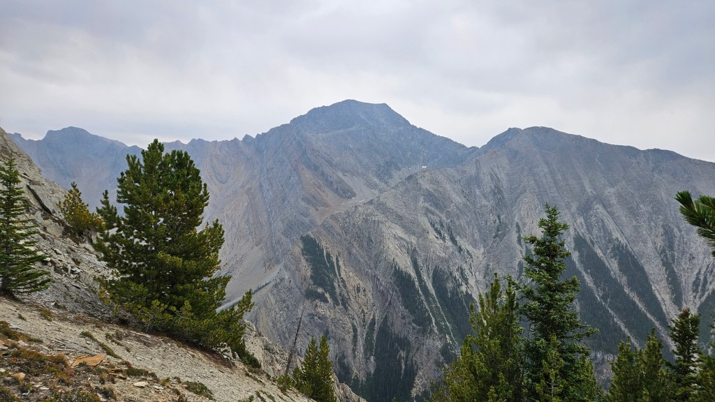
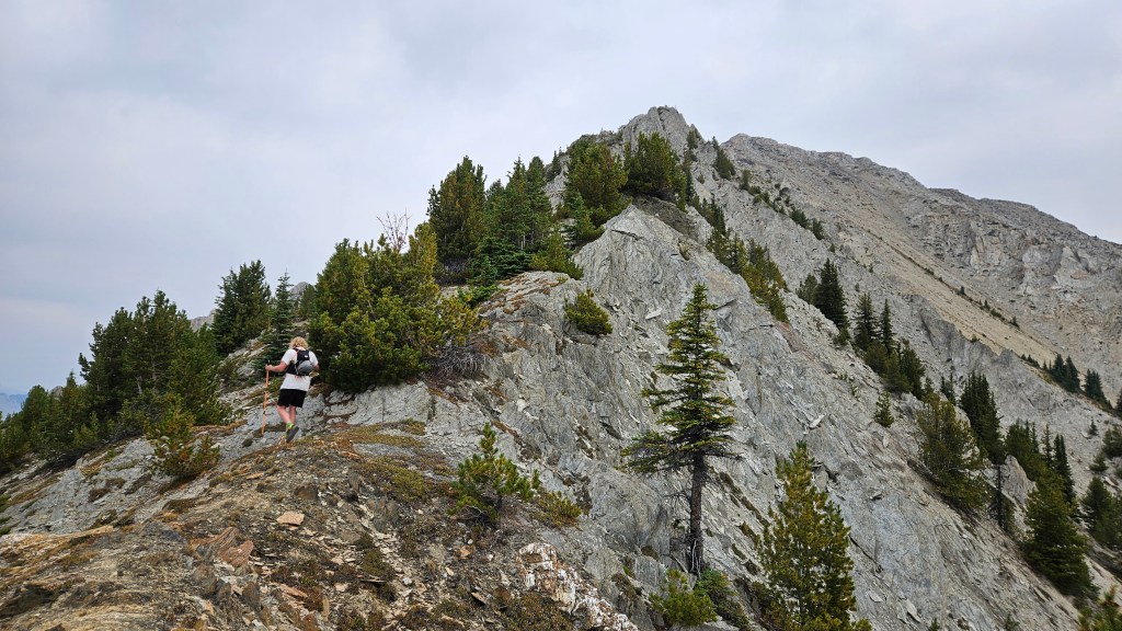
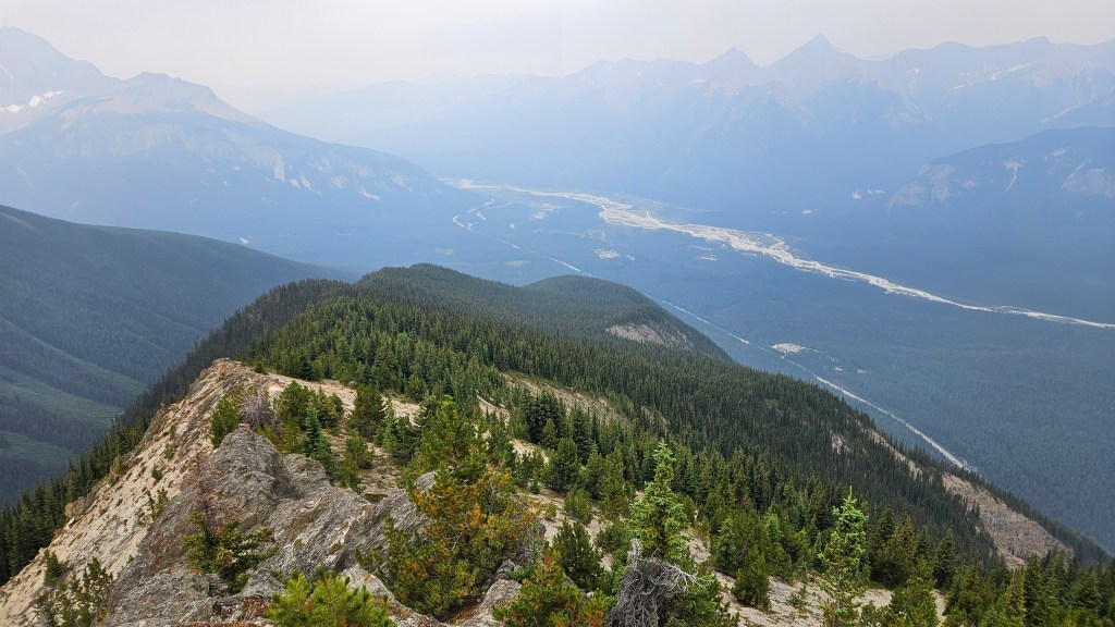
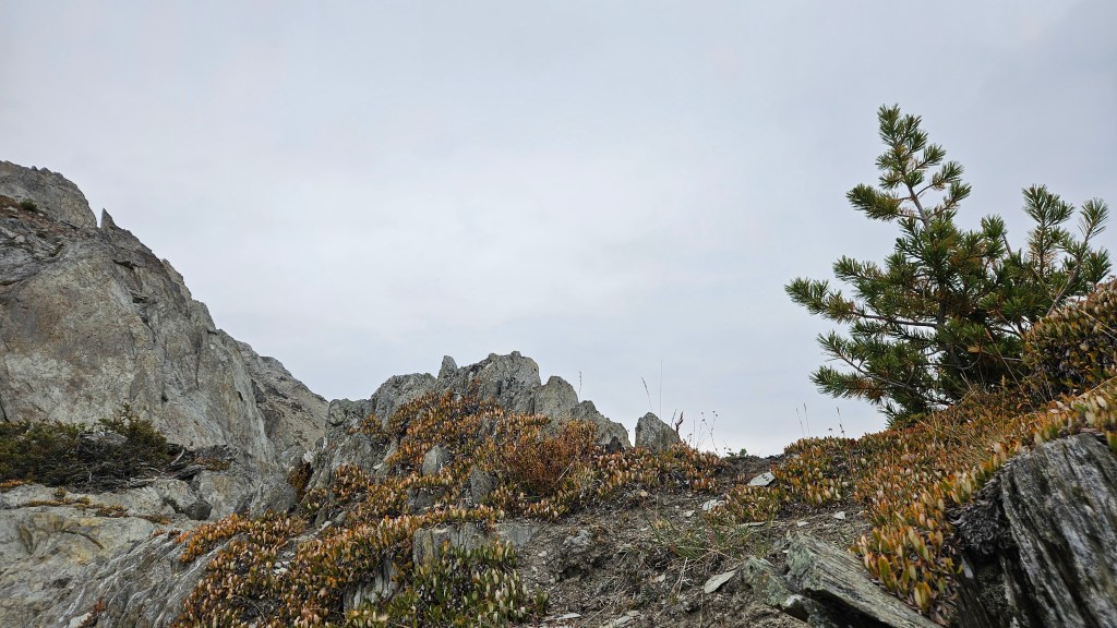
What a relief it was to emerge from the trees! It had taken longer than expected to navigate up through the bush and already pushing 11am as we begun scrambling the ridge. Initially we scrambled along the ridge crest, the lower reaches still dotted with stunted trees. As we continued along the crest the rock became more fragmented and composed of sharp vertical plates. From a geology perspective it was quite fascinating to see near vertical strata but made for some precarious scrambling with decent exposure.
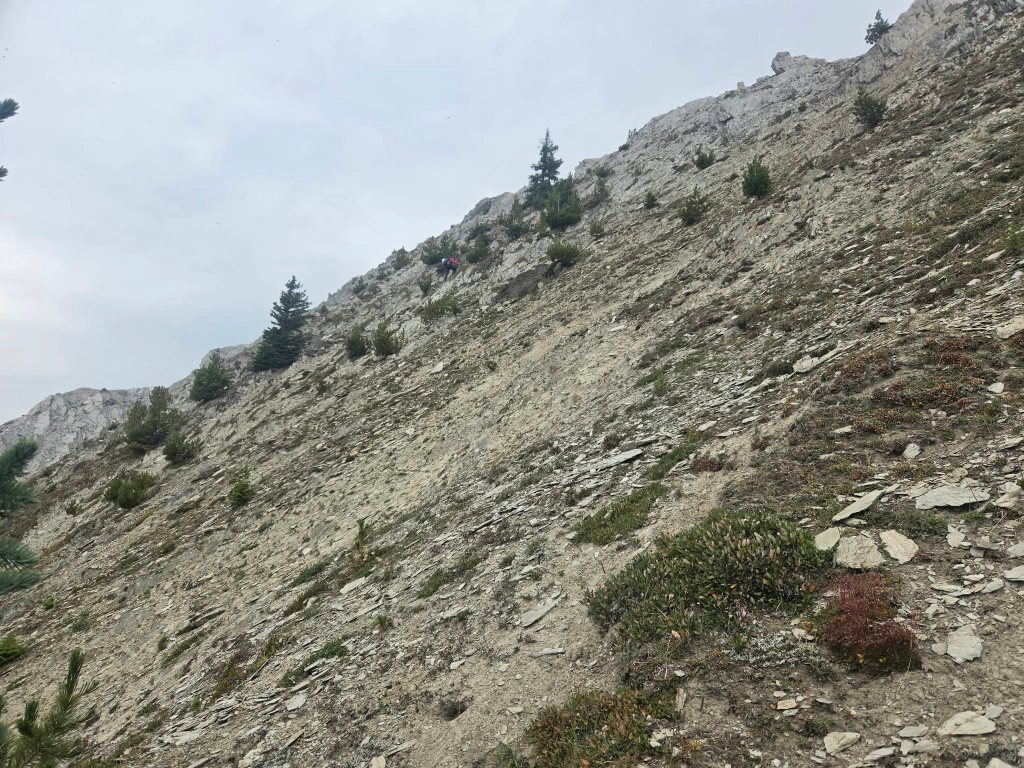
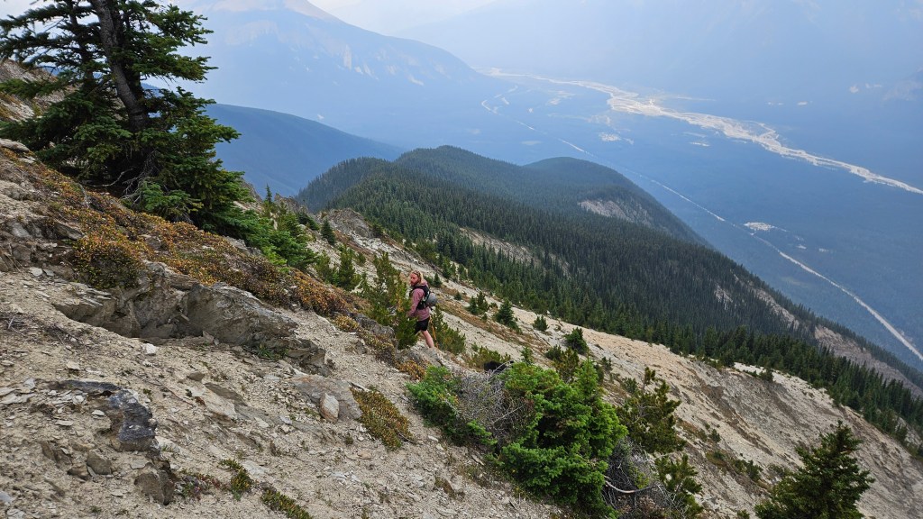
Periodically we would leave the ridge crest in favour of side-hilling across the northern slope. This was only marginally better as an alternative. The slope aspect was very steep and hard-packed silt over vertical shale plates, plus was still partly vegetated by mosses and alpine tundra. Falling or slipping down this slope would be essentially the same as sliding down a giant cheese grater. Eventually this slope became too steep to confidently side-hill (we were definitely hands-on travelling here) and we carefully scrambled back to the ridge crest. I noted a somewhat gentler gradient some 20-25m further down-slope that would have made for an easier side-hill but couldn’t see a safe way of reaching it from our position. So we rejoined the ridge crest and this spot proved to be the crux of our route.
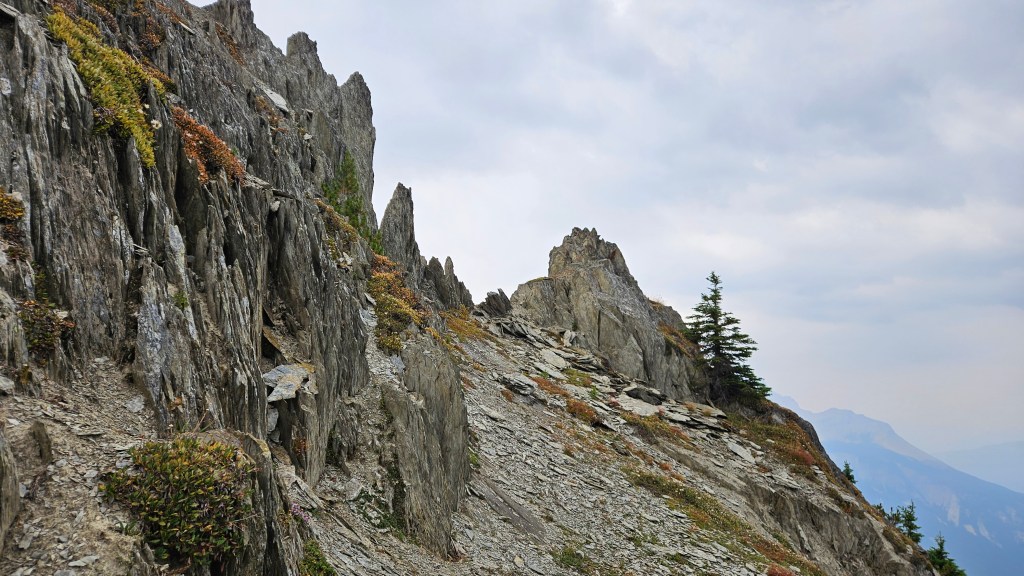
The crux of the ridge was a narrow section of razor-thin vertical shale plates with an airy drop over the south edge. Initially I felt okay with the exposure but quickly lost confidence as my left foot slid out from underneath me. I froze, maintaining three points of contact, but struggled to recollect myself. No matter how hard I kicked into the plating, I seemingly couldn’t smear my boot enough to game the momentum needed to cross the narrowest section here. Scott noticed my struggle from further ahead and back tracked for moral support. I eventually crab-crawled across, somewhat awkwardly.
After the short but exposed crux we scrambled up a steep notch and this was the end of the difficulties. We managed to bypass this section altogether on the return trip. Beyond the crux the summit was another half hour along the ridge. The remainder of the ascent was much chiller but still a moderate scramble. Occasionally there would be windows of exposure off the south side of the ridge similar to the crux, though now the footing was much better.
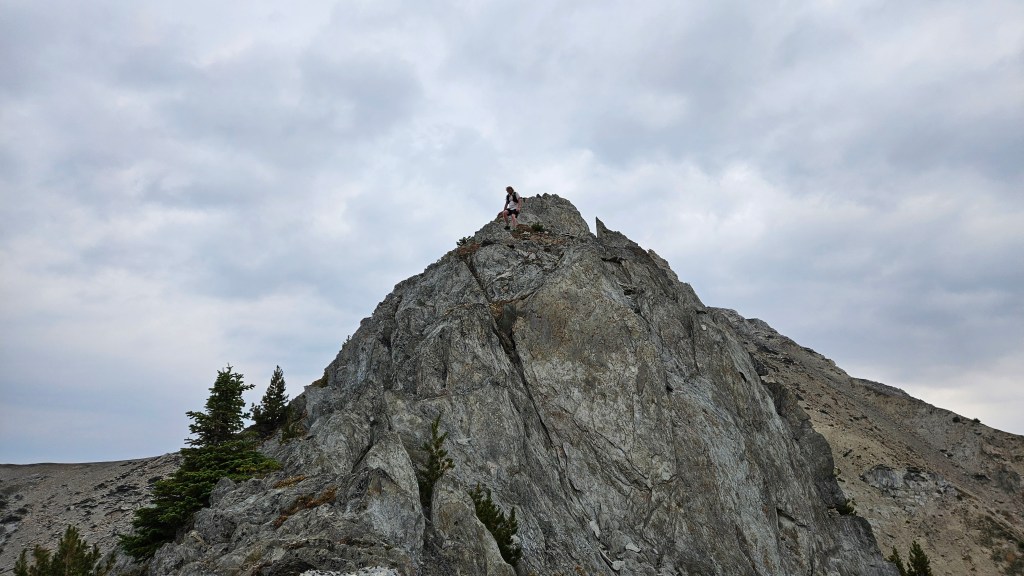
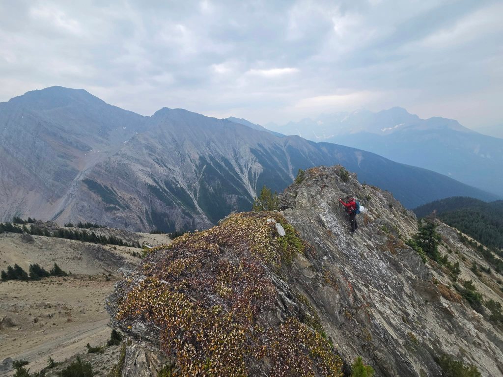
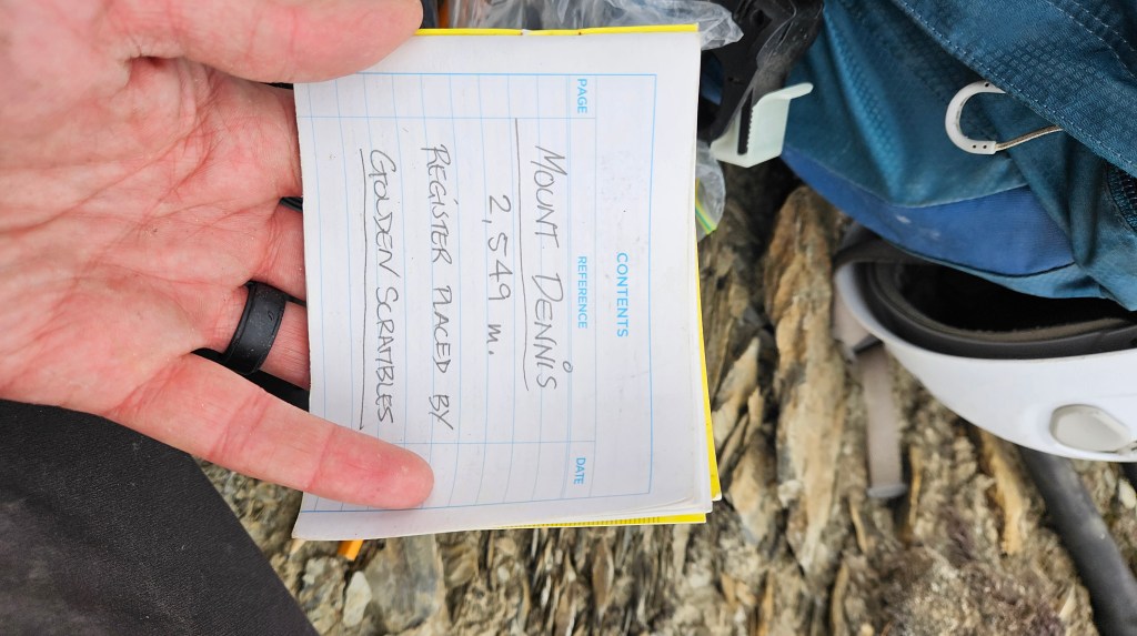
The final 10 minutes of the summit push was less a scramble and more-so a walk as we hiked over shattered tire-sized shale plates. It was lightly spitting rain as we reached the summit cairn right at noon. Thanks to Fabrice and Jose of Golden Scrambles, there was a summit register at the cairn and I proudly signed it. In the years since the register was placed, there was a handful of ascents in the years right after Golden Scrambles’ trip report in 2014. Most entries were from 2018, but after that only a couple entries per year. For 2026 there was a single entry prior to ours, from July 26th. Based on the +5 hour suffer fest we had endured for a 2500m peak, I’m not surprised by the scarcity of register enteries. There are many easier and higher objectives with amply route beta to choose from.
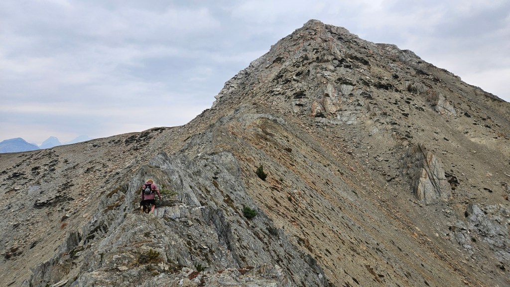
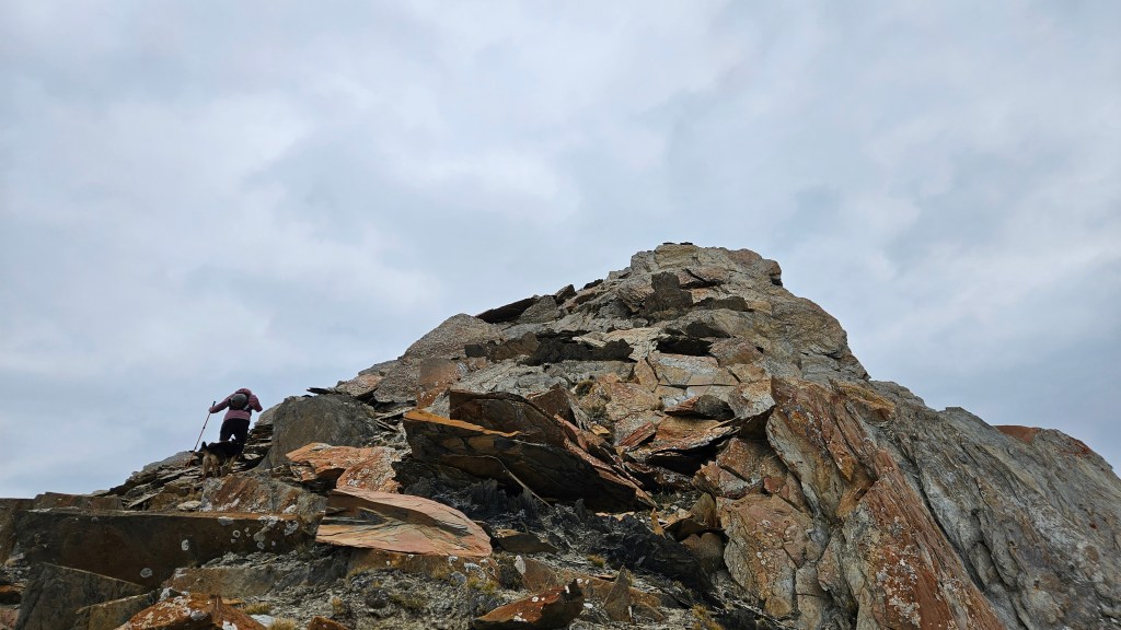
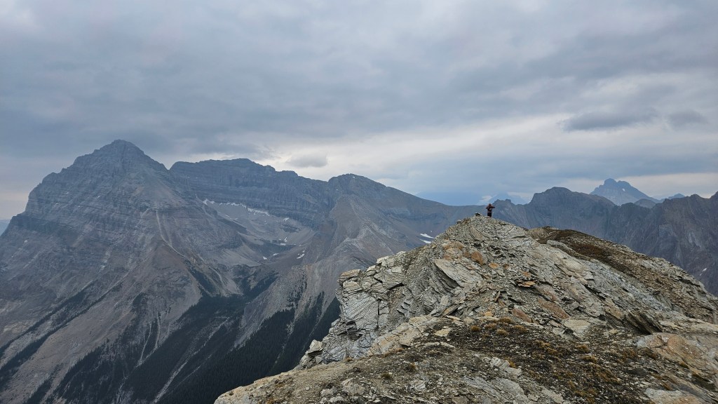
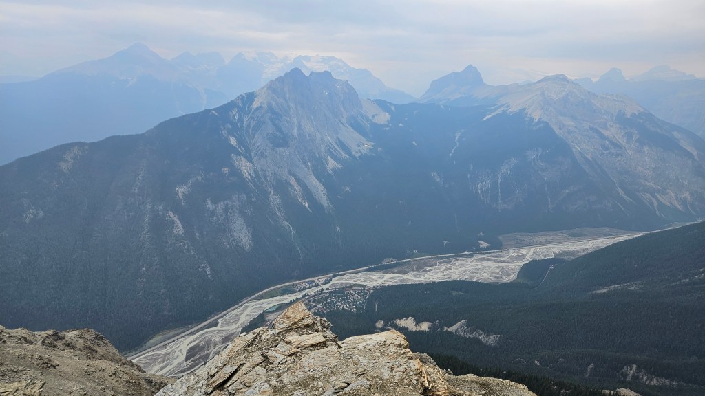
We kept the summit visit brief, around 15 minutes. It was still lightly spitting rain and we could taste the smoke in the air. Plus this was meant to be a shorter day. We scrambled back down the ridge and just above the notch of the crest, I pointed out the lower weakness in the north slope that I had observed earlier, some 25m beneath the crux section. Approaching from the summit side we had an easier time dropping down the slope and side hilling across, using shrubbed ledges as landmarks along the way. Not only did we bypass the crux, we managed to almost fully avoid the ridge itself. The side-hilling was easier lower on the slope but not without a catch. It was rough on the ankles and there was still much risk from the cheese-grater-like shale had any of us slipped down along the way. My boots were torn to shreds and I had to wrap electrical tape around them to keep them together.
It took half an hour to retrace our steps past the crux and by 1pm we were re-entering tree line. We followed our digital tracks recorded during the ascent to find our way back down the lower ridge. Visibility through the trees was better on the way down, as it often is, but the deadfall impeded our progress and we descended at a snail’s pace. No better than the way up. An hour into the trees Scott suggested that we stick to the skier’s right (north) at the edge of the shoulder and see if we could use one of the north facing gullies for a more direct descent line. And hopefully encounter less deadfall. I agreed, though voiced some concern that we would need to choose carefully, for if we descended too far east there was a very real risk of getting cliffed-out.
The first gully we scoped out was insanely steep and we ruled it out. It wasn’t much longer till we encountered a second gully, which was also quite steep. Scott had limited cell reception and from where we were on Google maps, it looked like the gully he was after. After some convincing, I agreed that it looked much less congested versus the shoulder we thrashed up and that a direct line back down to valley bottom was quite appealing. The idea was that this gully would probably deposit us onto the maintenance backroad exiting the west end of Field or onto the remains of the old highway, paralleling the current highway.
It seemed promising so we dropped in and began hiking down. We could even see the main highway at first, and it was indeed more open than the way we had come up earlier that morning. While it was steep-enough to warrant the term “knee-jarring” the footing was surprisingly good in here. The ground was soft from decay and from moss, and there seemed to be traces of a trail in spots. Quite possible that other parties have used this gully before, though I imagine this would be challenging to find through the trees on an ascent. Compared to the dense montane forest on the lower shoulder, this gully felt like a hidden slice of temperate rainforest. It was lush and vibrant green through here. But quite steep and a bit of a hands on scramble mixed with light bushwhacking.
Part way down I thought I could hear snapping branches following us. At first I thought maybe these were branches we had bent out of shape but the timing seemed off for it to be that. I couldn’t help but shake off the feeling that something was following us, especially given my sighting earlier that day. Fortunately whatever it was, we didn’t encounter it. Eventually the gully bottomed out into the forest below and we were back into the familiar dead-fall choked woods that we had encountered at the start of the day. We trended left, knowing that Scott’s car was still a few kilometers to the west. After the gully fully bottomed out we continued trending west but were also aiming straight for the road. Another hour and we could hear the hum of vehicle traffic, though could not yet see it. We never found the old highway within the trees, and gave up looking for it, emerging next to the road roughly a kilometer east from Scott’s car. It took us 15 minutes or so to walk along the ditch next to the road before making a mad dash across the busy highway back to Scott’s car.
This was definitely a type II adventure. Much suffering was endured for this peak but I do look back on it fondly. Having had grand views of nearby Mount Duchesnay will hopefully serve as fuel towards a future trip down the Ottertail. My hat goes off to Scott who has done this peak twice now, I can’t say its one that I personally would want to repeat.