June 12th, 2023. Yoho National Park
Round Trip: 8 Hours, Elevation Gain: 1365m
Mostly Hiking; Easy Scramble
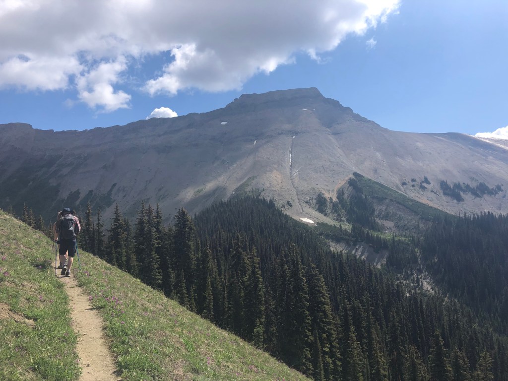
Mt Field has been on the list for several years. We were planning on saving this hike for autumn, however with storms forecasted for the late afternoon we opted out of higher objectives and decided Mt Field would better fit the weather window. The approach starts from a hidden parking lot off of Hwy 1 just east of Field and follows up the Burgess Pass Trail. While technically an easy peak with minimal scrambling, the round trip distance of 18km makes for a decent outing.
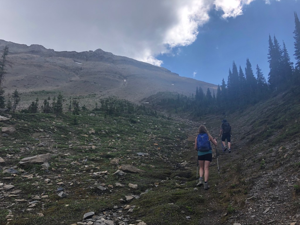
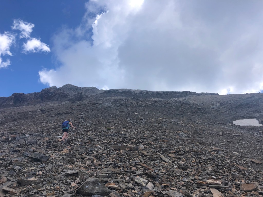
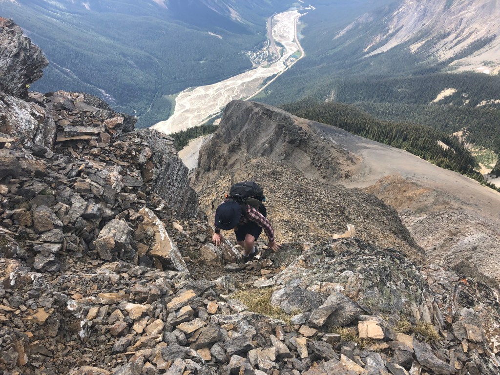
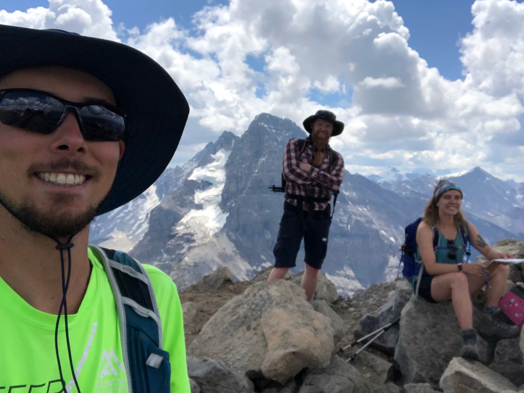
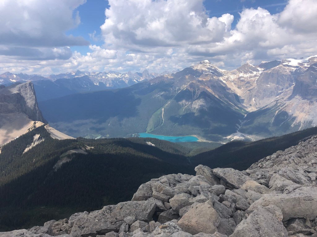
Not much to report from this one other than some good laughs with our friend Dan and a lot of amazing photos. We more or less stuck to Kane’s (2016) description from Scrambles, skirting the Burgess Shale closure area we aimed for the looker’s right for the scree slog portions. Early into the scree bashing we encountered another hiker who instructed us to traverse even further to the right (south) as to avoid the looser talus sections. It was great advice! The views above the south face were incredible and the scrambling much more enjoyable here versus the inner slope – albeit with more exposure compared to our initial ascent path.
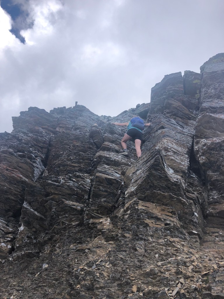
Scrambling up onto the summit block was the only real hands-on section of our day and barely accounted for 5 minutes worth of the whole journey. Once could label this as the “crux” though it was pretty easy going – I only suggest moderate here given the exposure over the south face. It looks much gnarlier in the photos then it actually is. As promised by our adventure buddy Scott, the views were well worth the effort. Overall, an easy scramble with a very long approach. We clocked in car-to-car at 8 hours 4 minutes including a few short breaks. Felt like we made good timing however I’ve heard of parties completing this in as little as 5-6 hours. Perhaps in cooler weather these faster time frames are achievable.