July 11th 2018. Yoho National Park.
Round Trip: 12 hours Elevation Gain: 1350m
Moderate Scramble
Mount Niles lies at the back of Sherbrooke Creek and looms above Niles Meadow. Bri & I teamed up with Scott, Jules and May for this one. We followed the description in Kane’s 3rd edition of Scrambles in the Canadian Rockies. Refer to his book for route details. While a long day this peak does see a fair number of scramblers each summer.
Follow the popular trail to Sherbrooke Lake. Allow for 9-12 hours pending on your group’s abilities and how often you want to take photos. We were as much after the scenery as we were the scramble thus took a full day for our outing.
As of summer 2018 you can only turn into the Sherbrooke creek parking lot if travelling west bound along the Trans Canada Highway. A median is now blocking you from turning left when travelling east bound – you will now have to make a u-turn either from the Great Divide Lodge’s parking lot or from the Lake O’Hara parking lot.
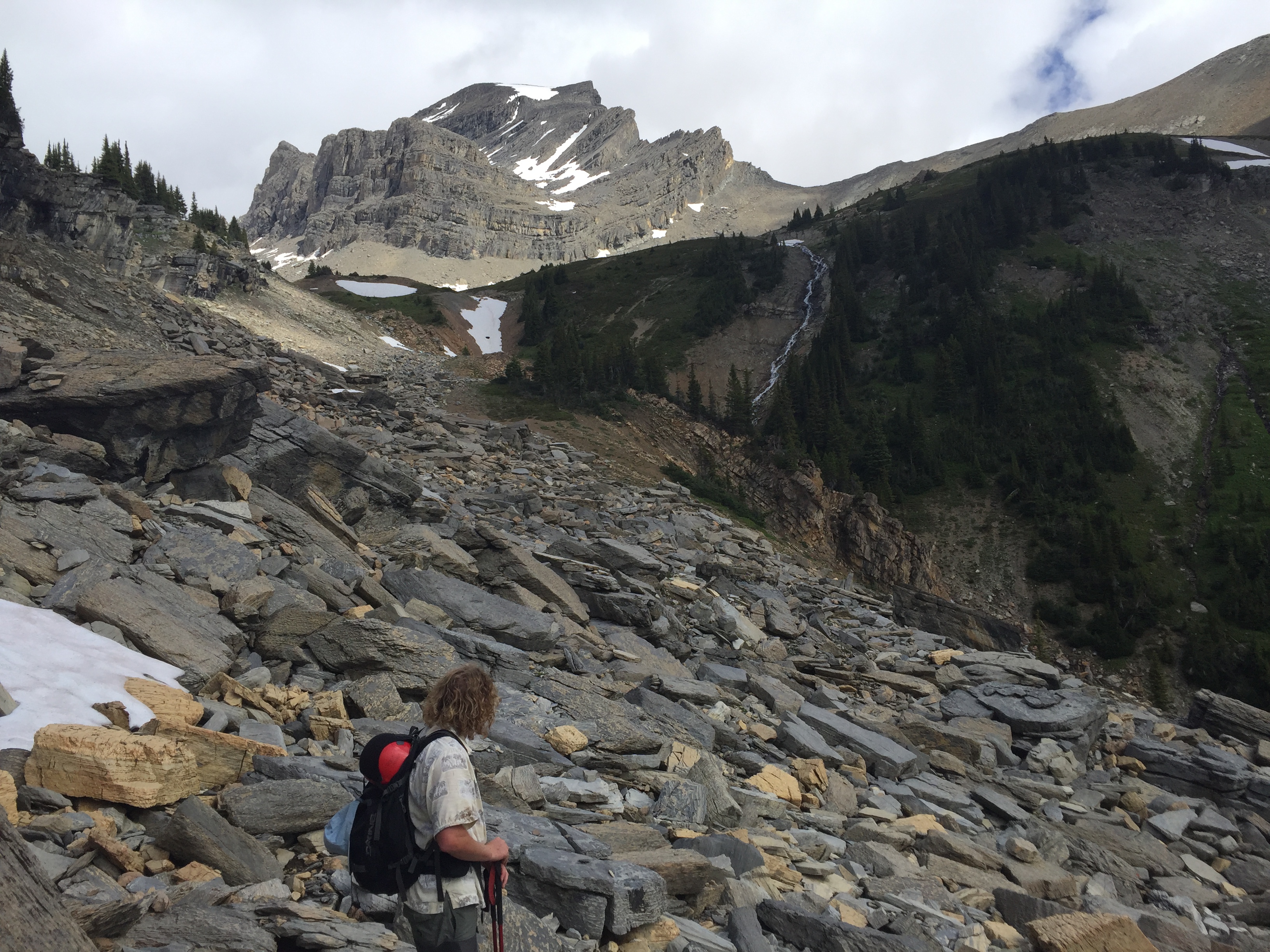
The official trail from the parking lot ends at the back of the lake shore. From here the path continues via a decommissioned trail that leads into Niles Meadow. The path is still well traveled enough to follow through without any major route finding challenges. Beyond the first meadow there were a couple bridges out so the boots came off and we went across bare foot.
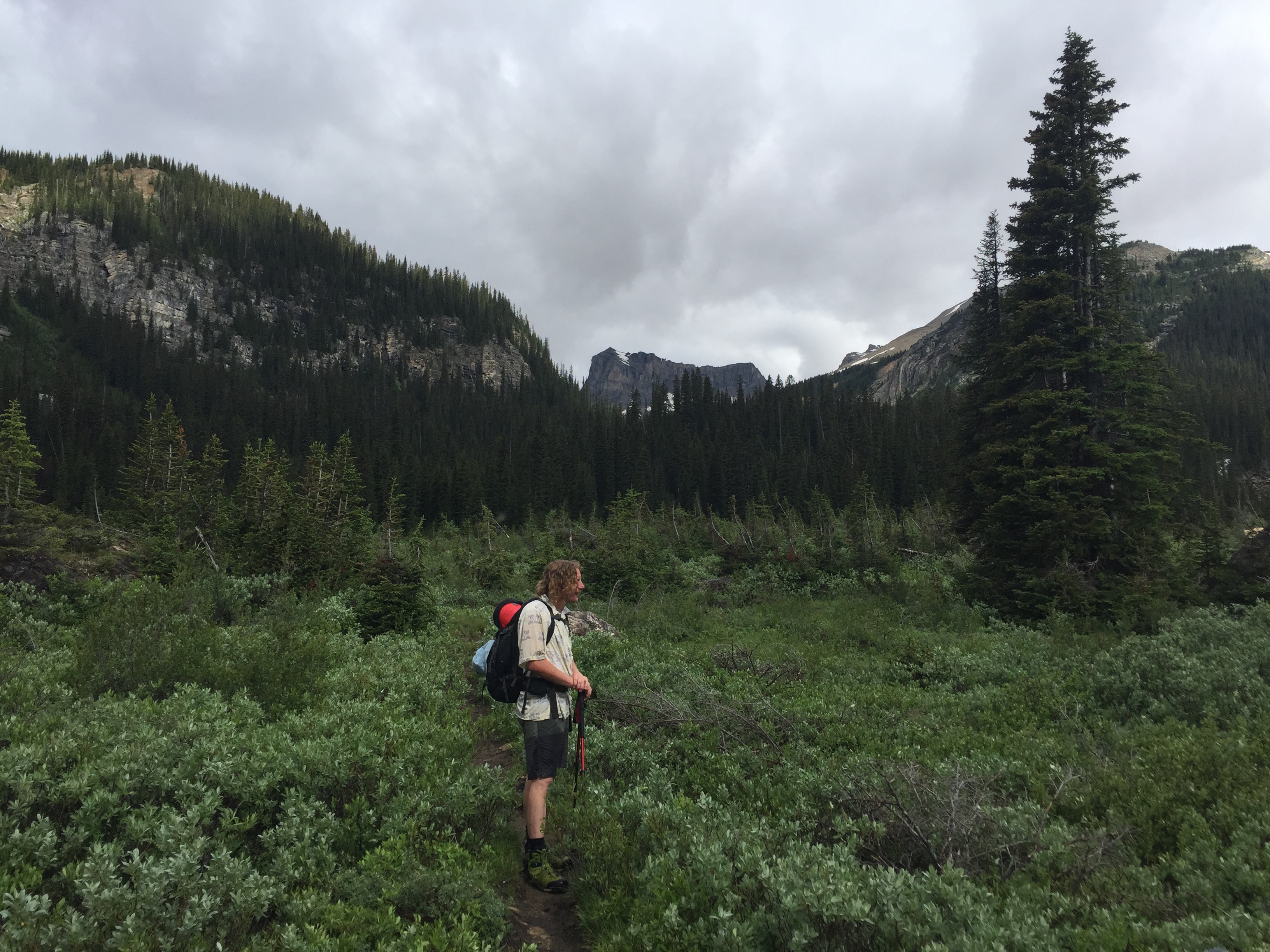
After the crossings the path leads uphill by a waterfall and into a patch of forest. This eventually opens back up into Niles Meadow. From here Kane suggests cutting straight through to the back and then scrambling up the left side aiming for a pinnacle (well marked with cairns). For some reason we opted to ascend the western slope and traverse across above the meadow – making for a moderate side-hill scramble.
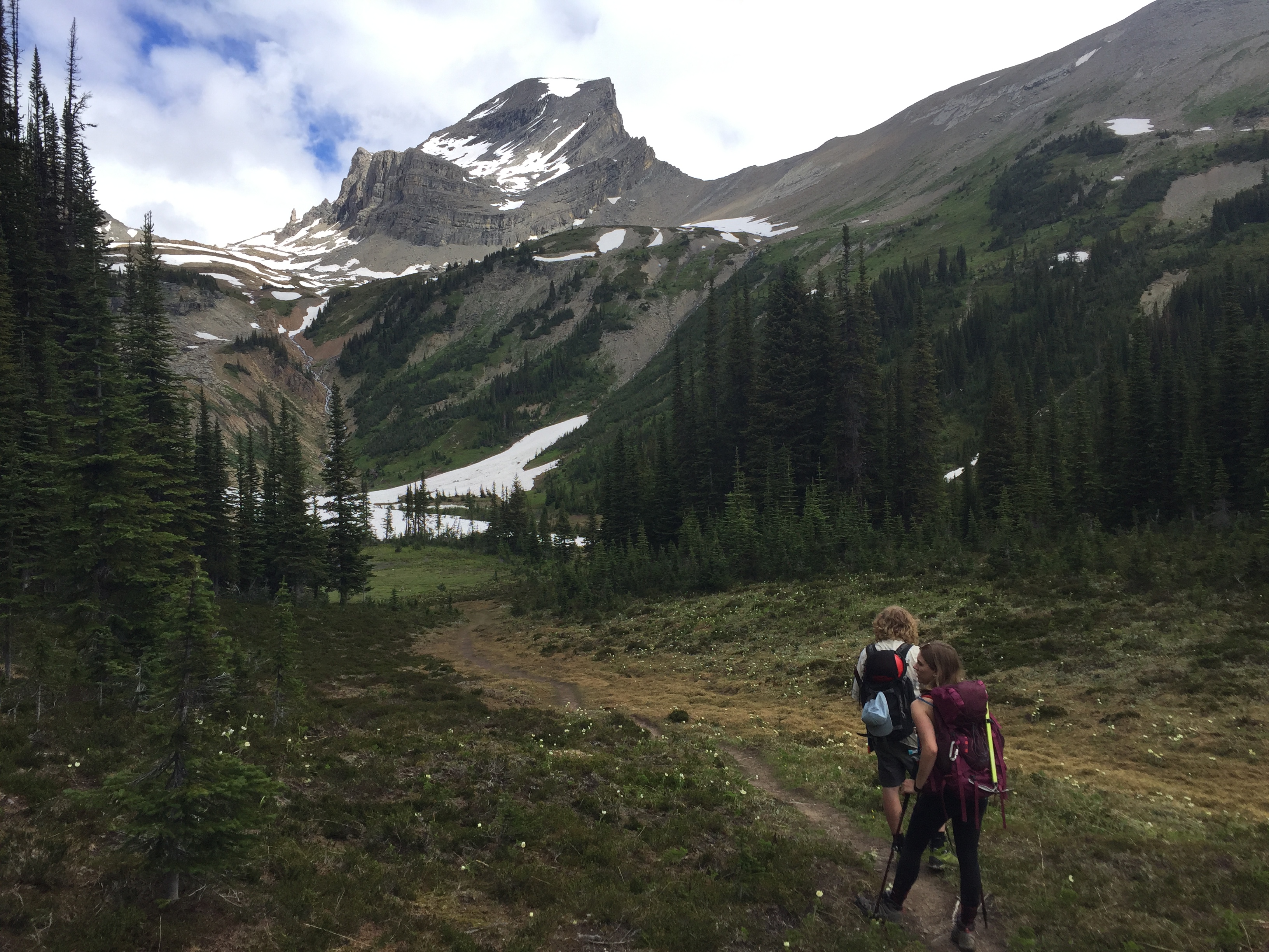
It’s hard to say if the side-hilling route made things easier or harder. The cliff bands that we passed over looked pretty steep and wet from the late snow pack melt. Eventually our traverse across the slope rejoined with the rock bands that sit under the pinnacle mentioned by Kane.
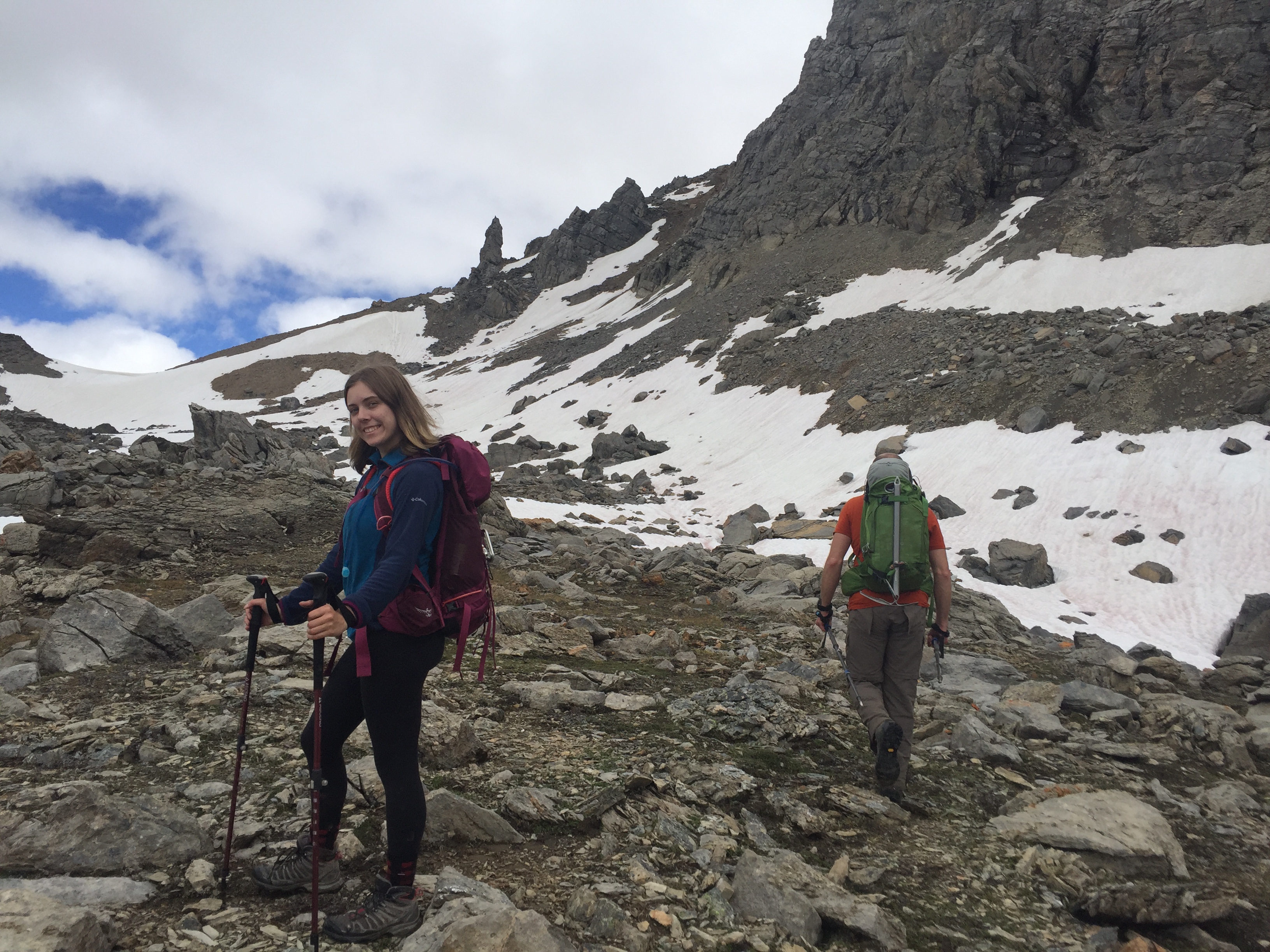
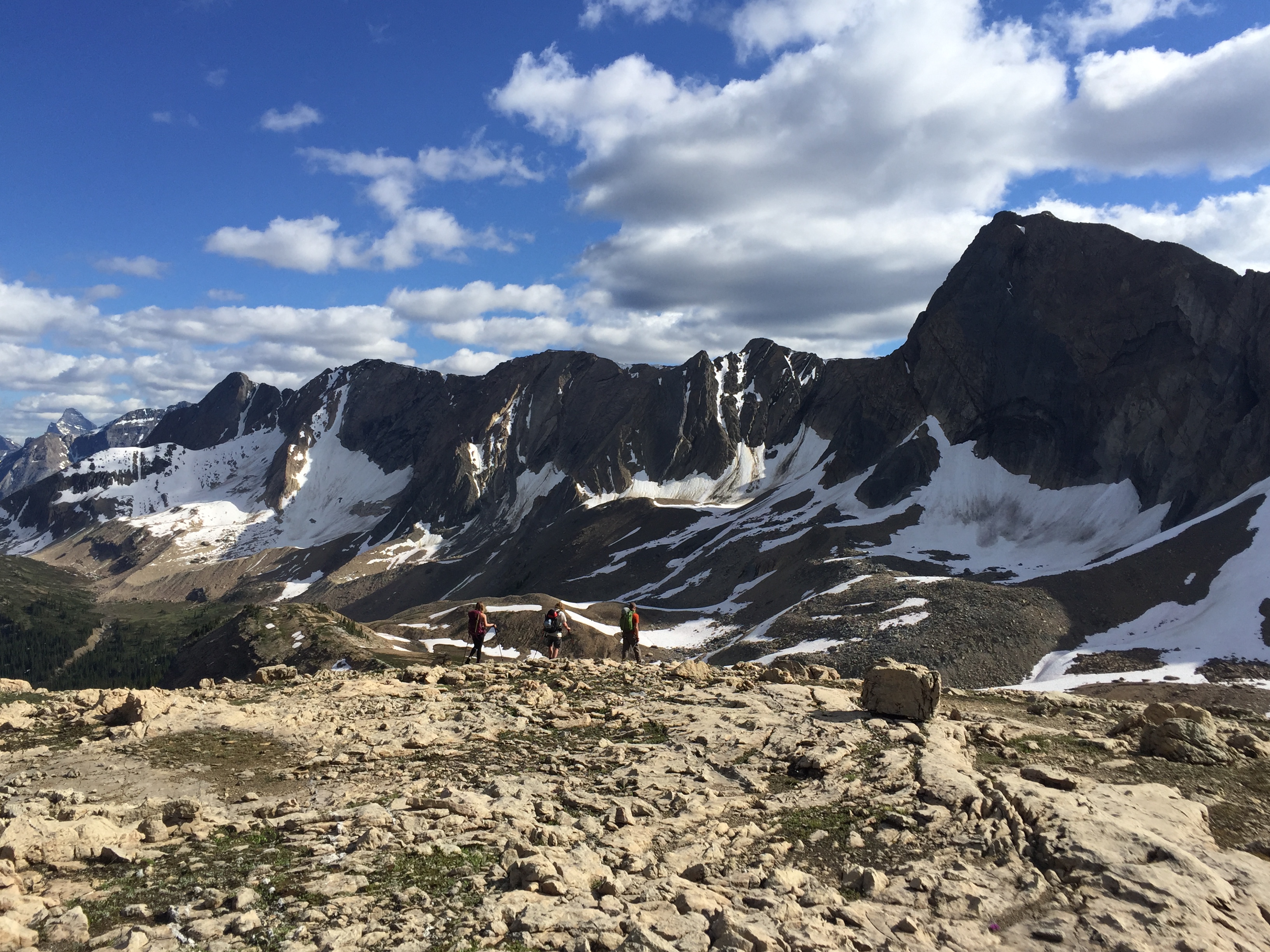
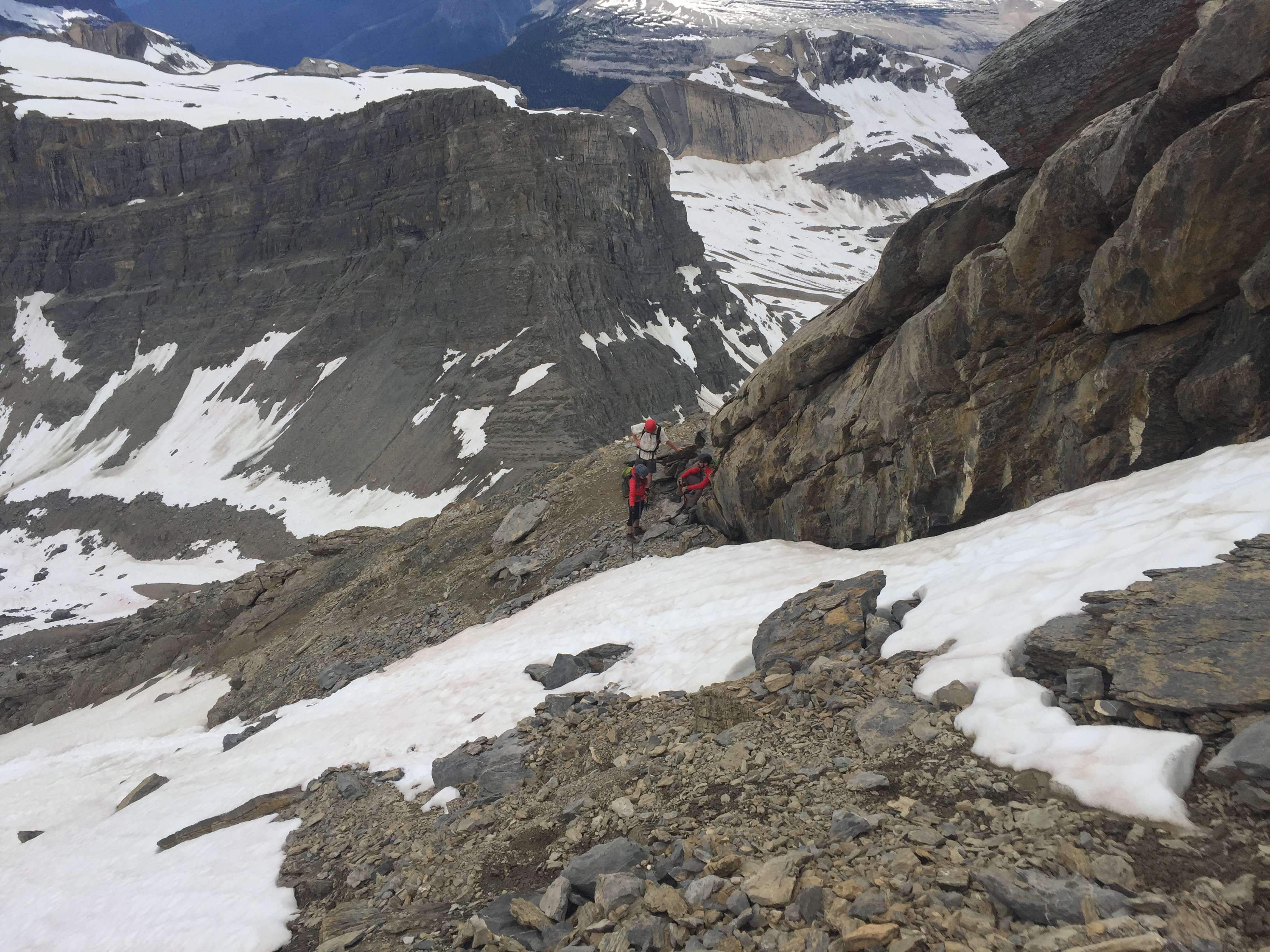
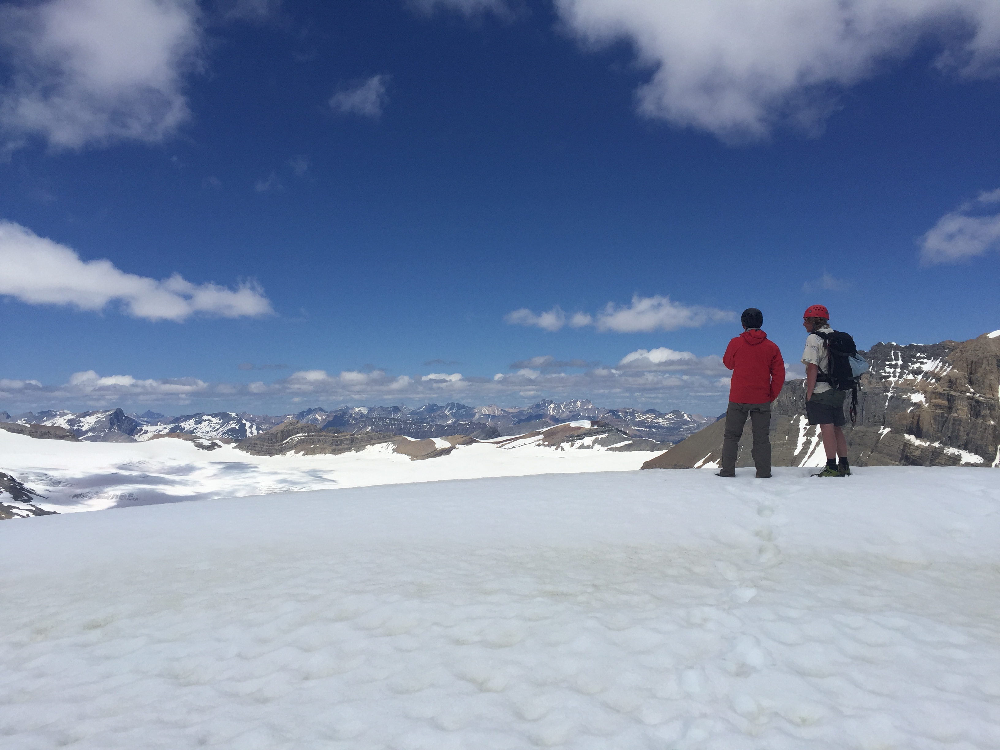
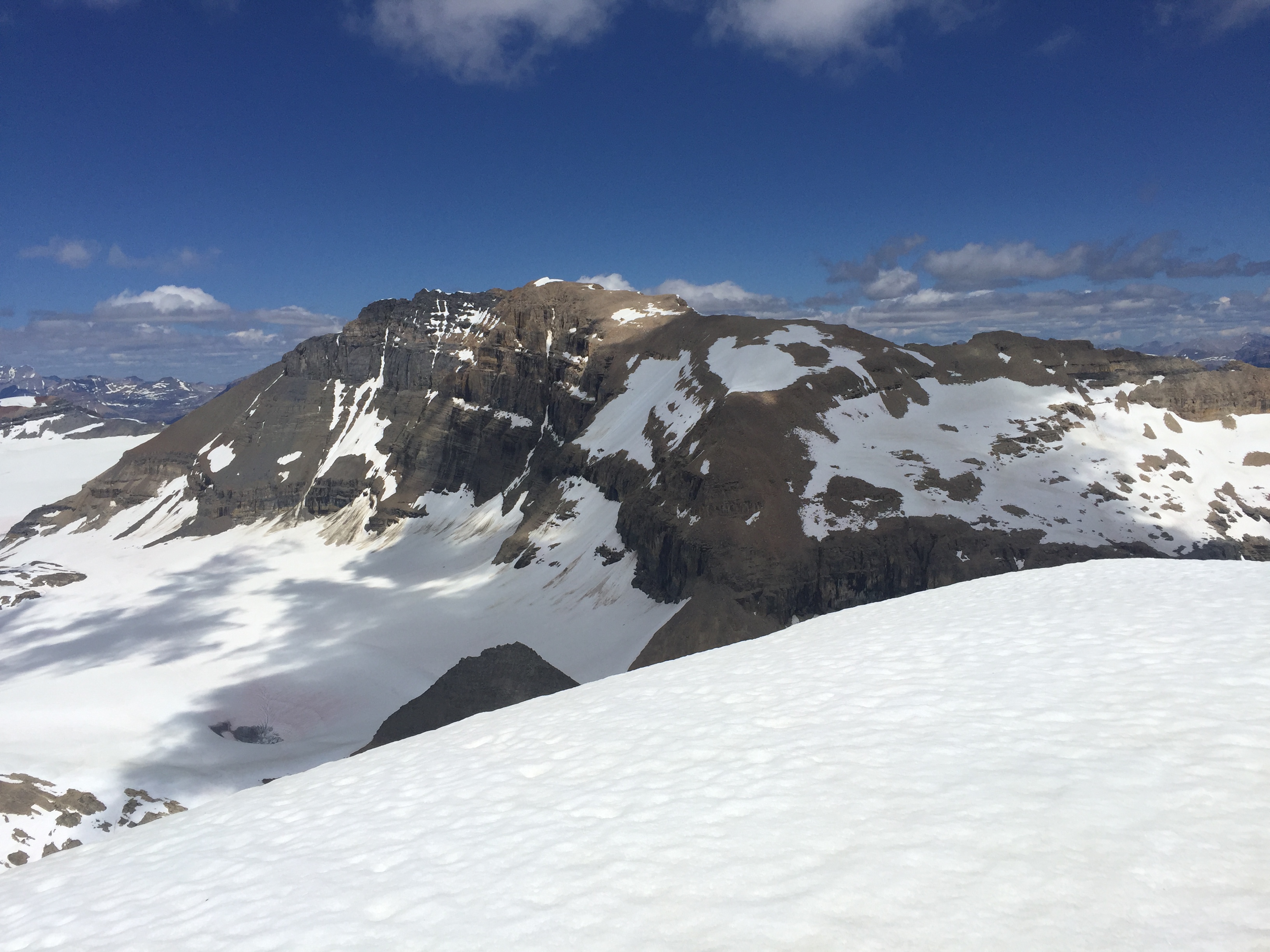
From the pinnacle you catch your first impressive glance at the Waputik Ice Field and Daly Glacier. This is also a good place to catch a breather and get the helmets on: it’s a sustained moderate scramble from here on up. Hiking poles are highly recommended!
There is no real crux for this one, and the way up is quite obvious for those who have done a few peaks prior. As you work your way up above the pinnacle the rule of thumb is to head to the climber’s right. The view become increasingly striking as you scramble up.
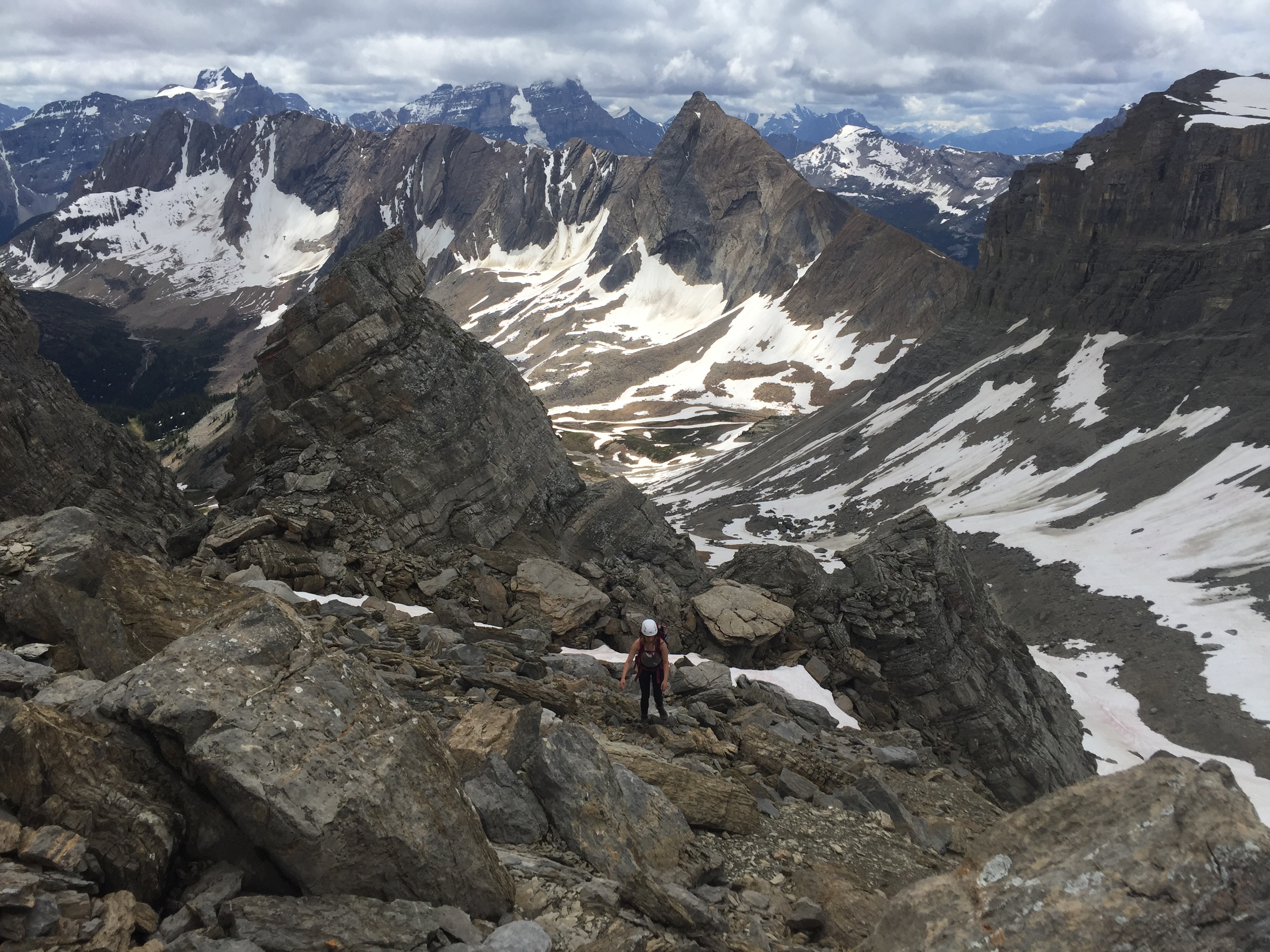
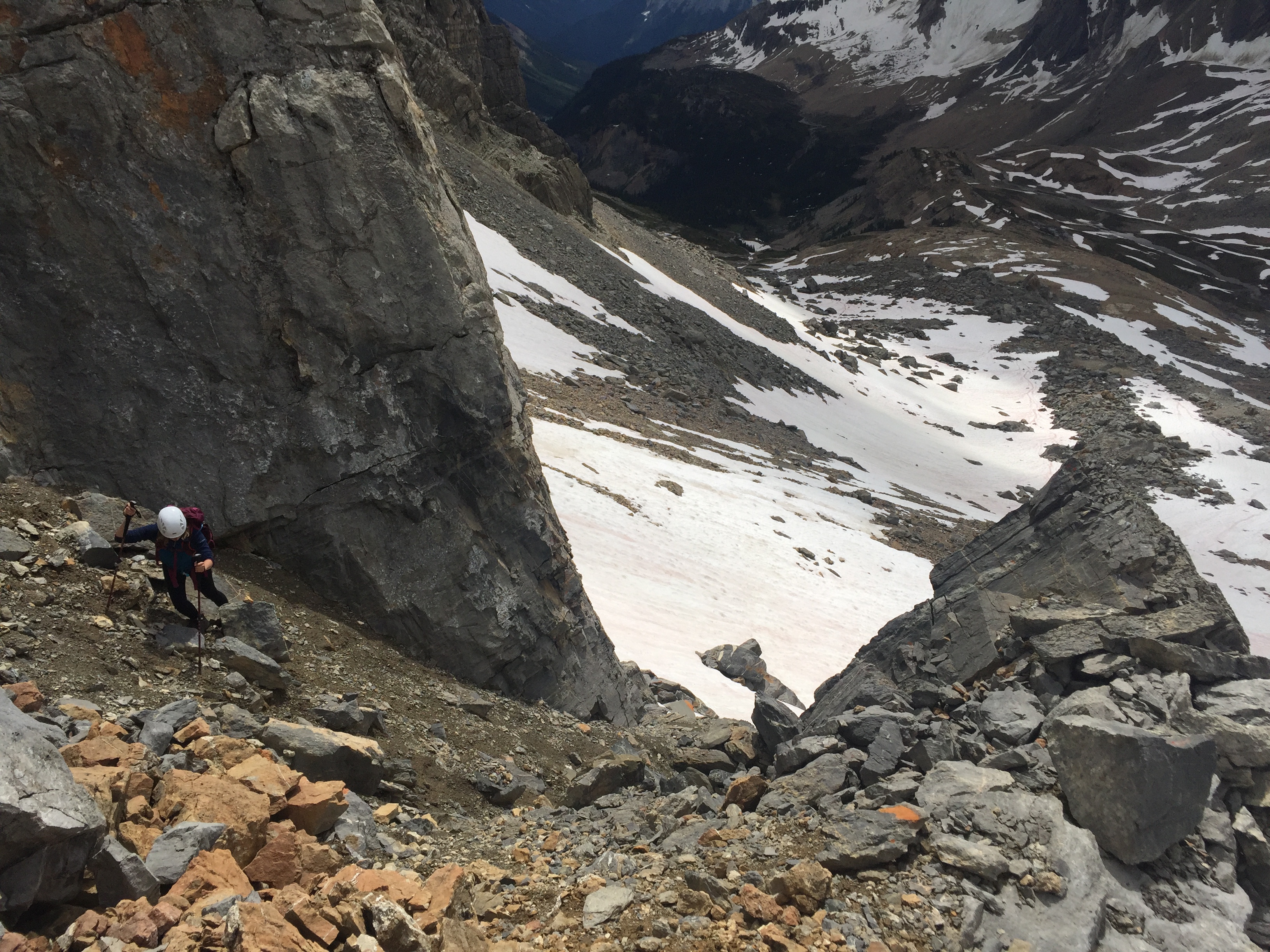
While this is sustained moderate scrambling it does become quite hands on at points. A bit of route finding is necessary as you work your way above the initial gully and wrap to the climber’s right for the summit block approach. Underneath you the hike in from Niles Meadow is clearly visible.
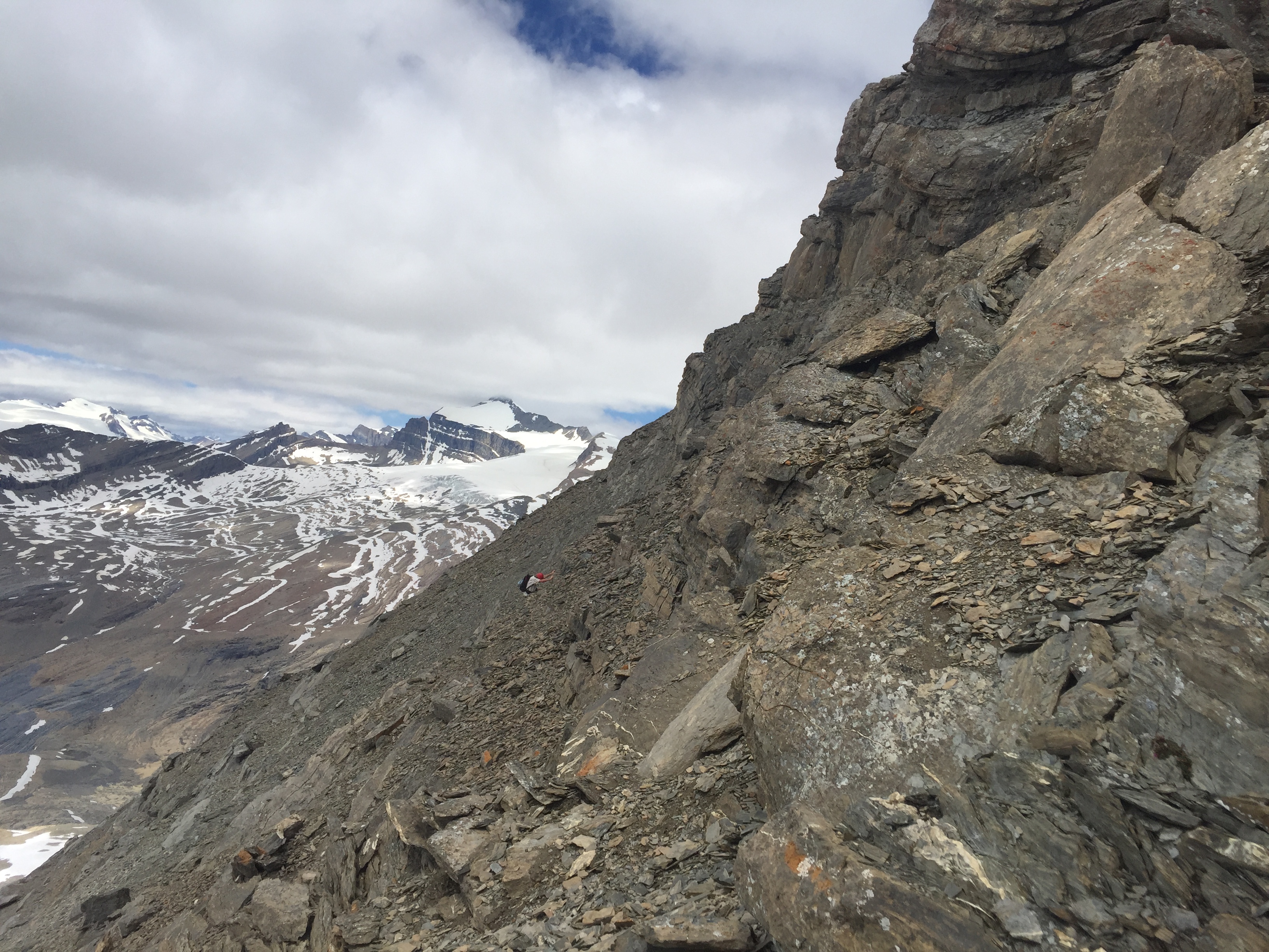
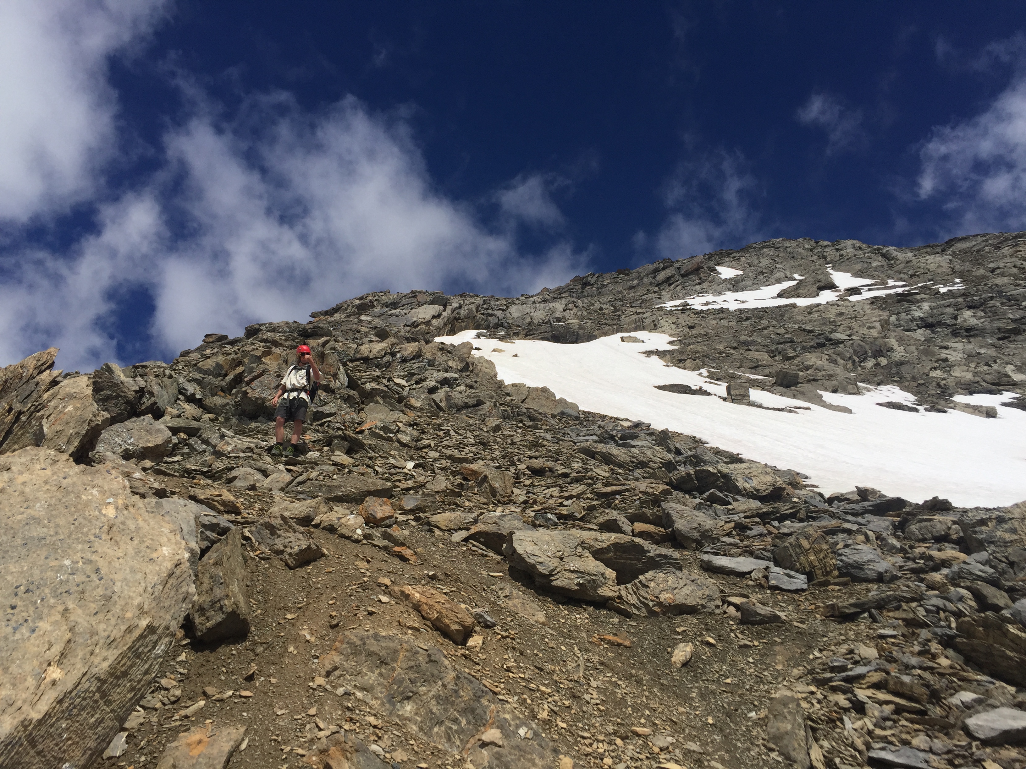
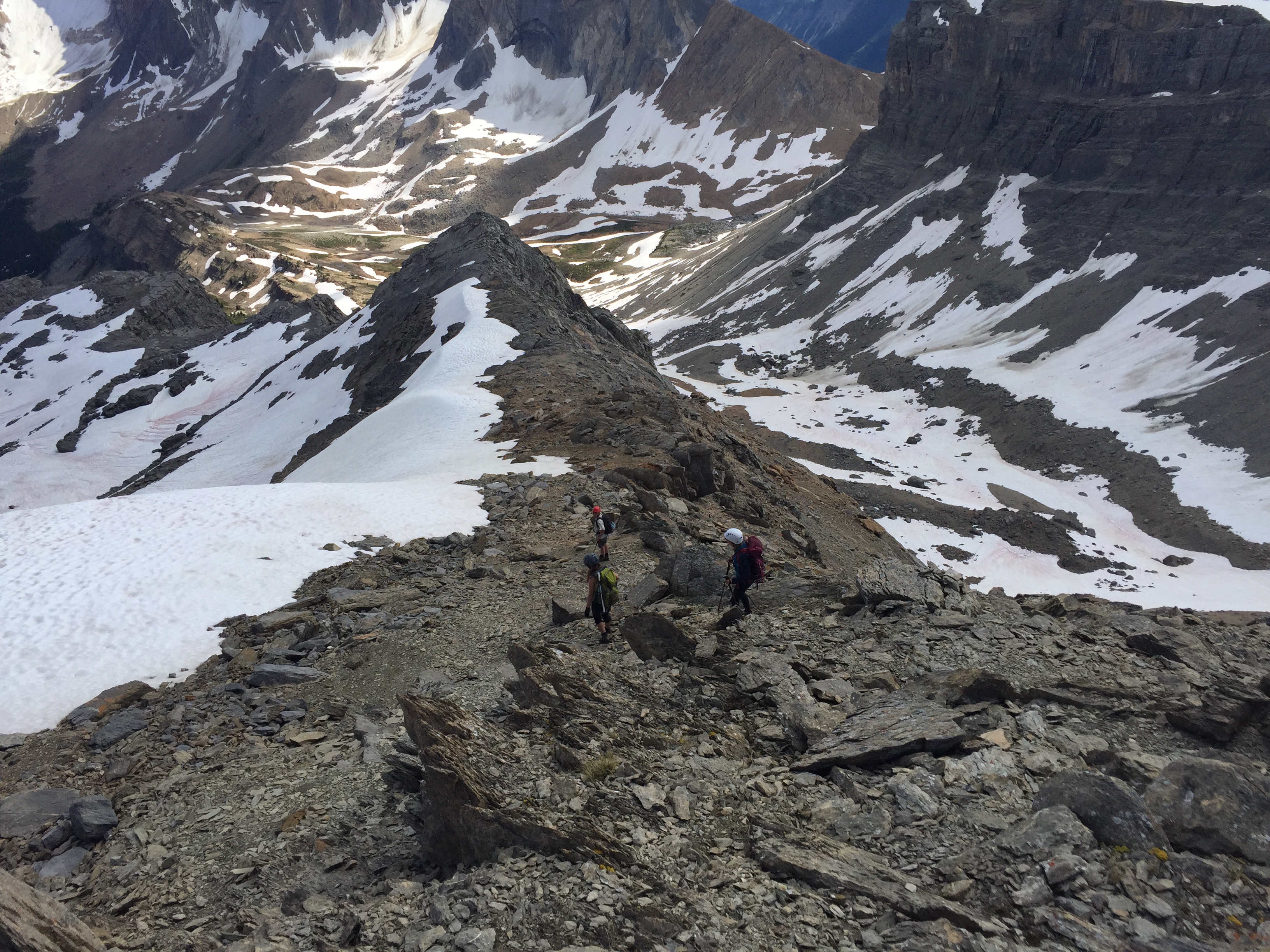
There is no relief once on the route. Having said that it is a fun scramble for those experienced. For novice scramblers this will probably feel harder than it actually is – especially given the long approach. Keep pushing to the right. Eventually you will hit a natural switch back where the slope transitions into the summit ridge. It makes for some super cool photography of your friends and is the final leg of the scramble!
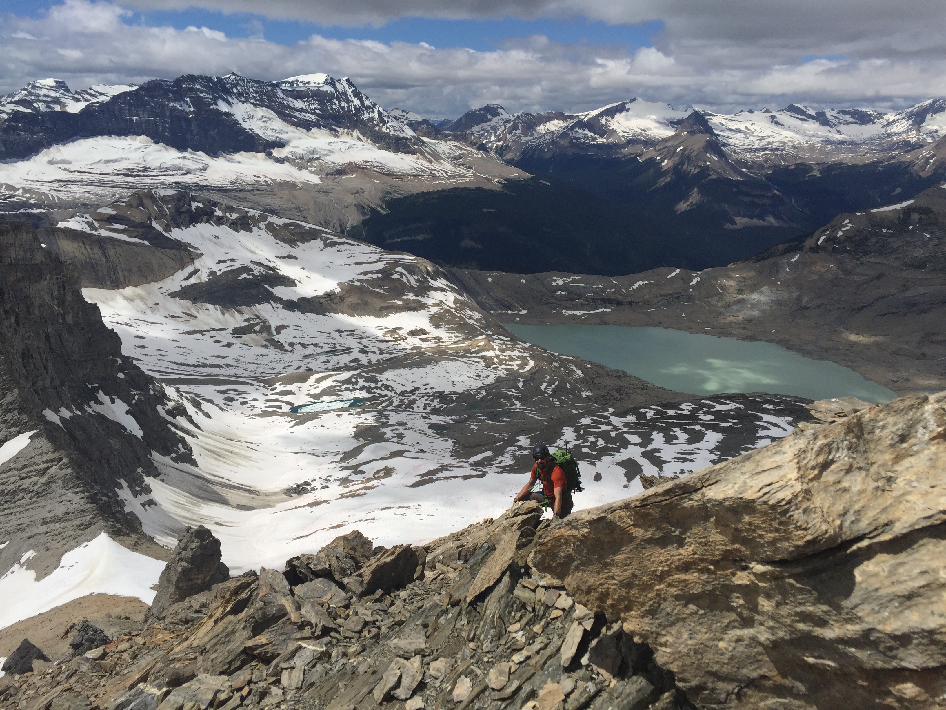
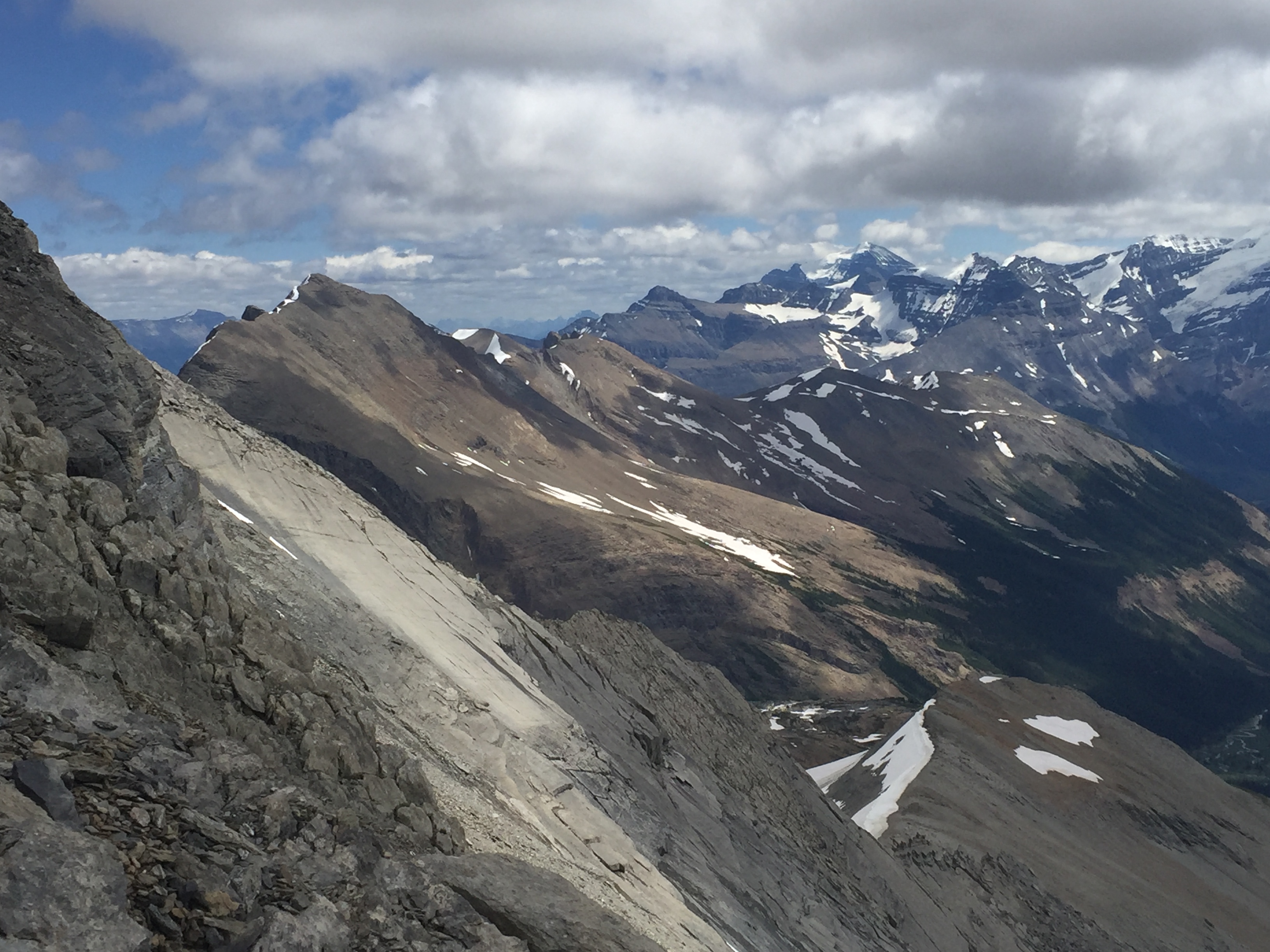
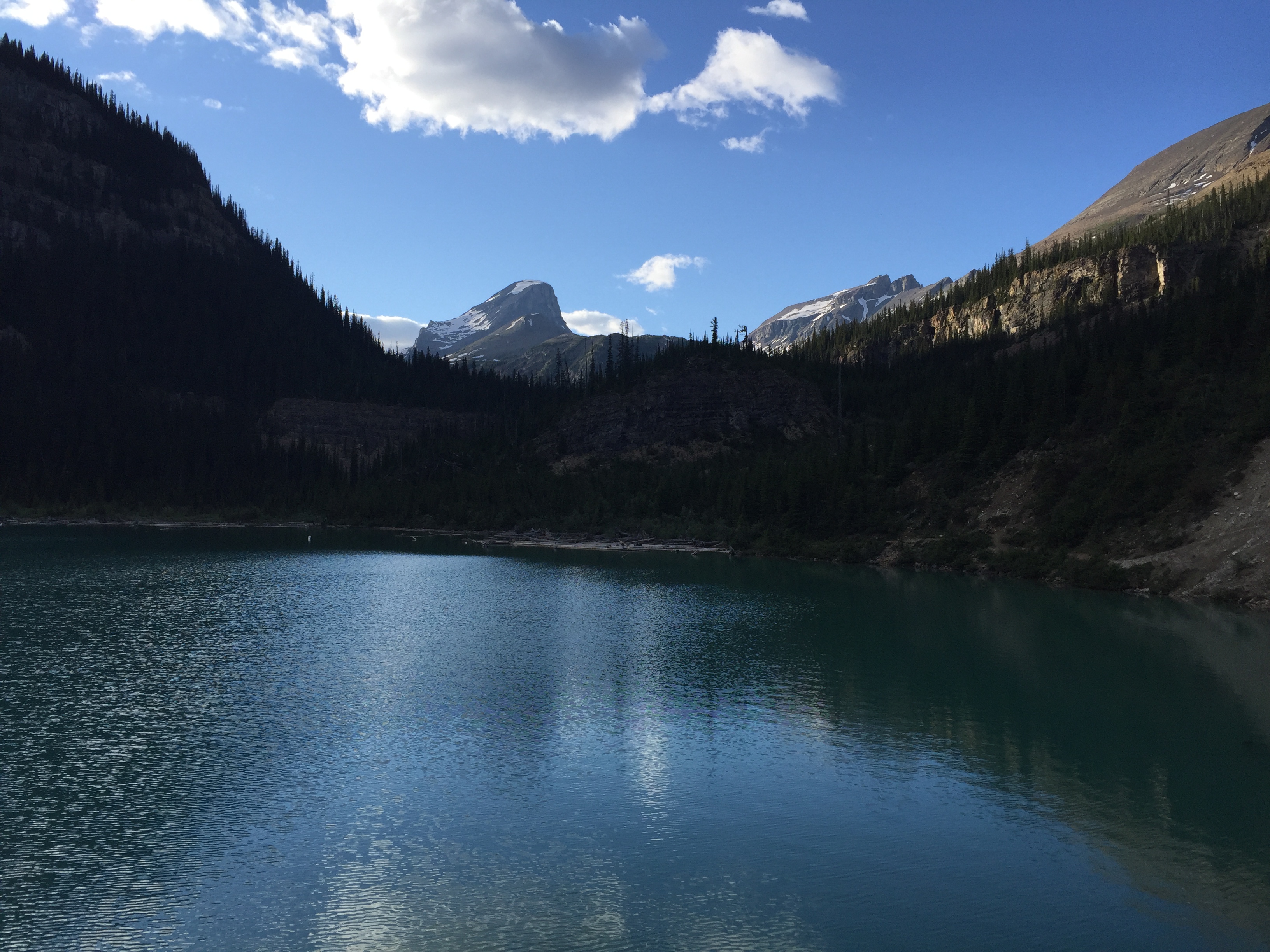
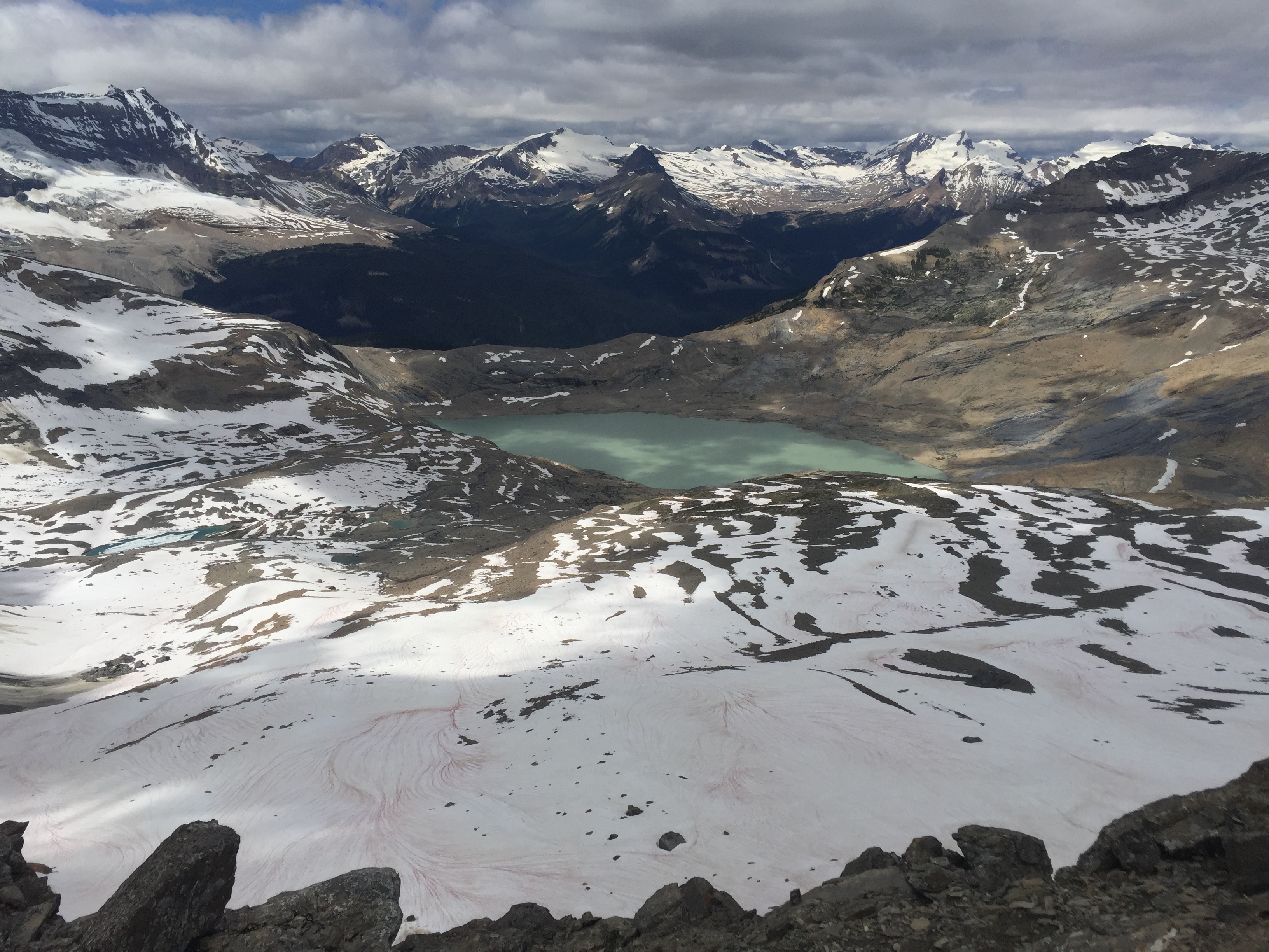
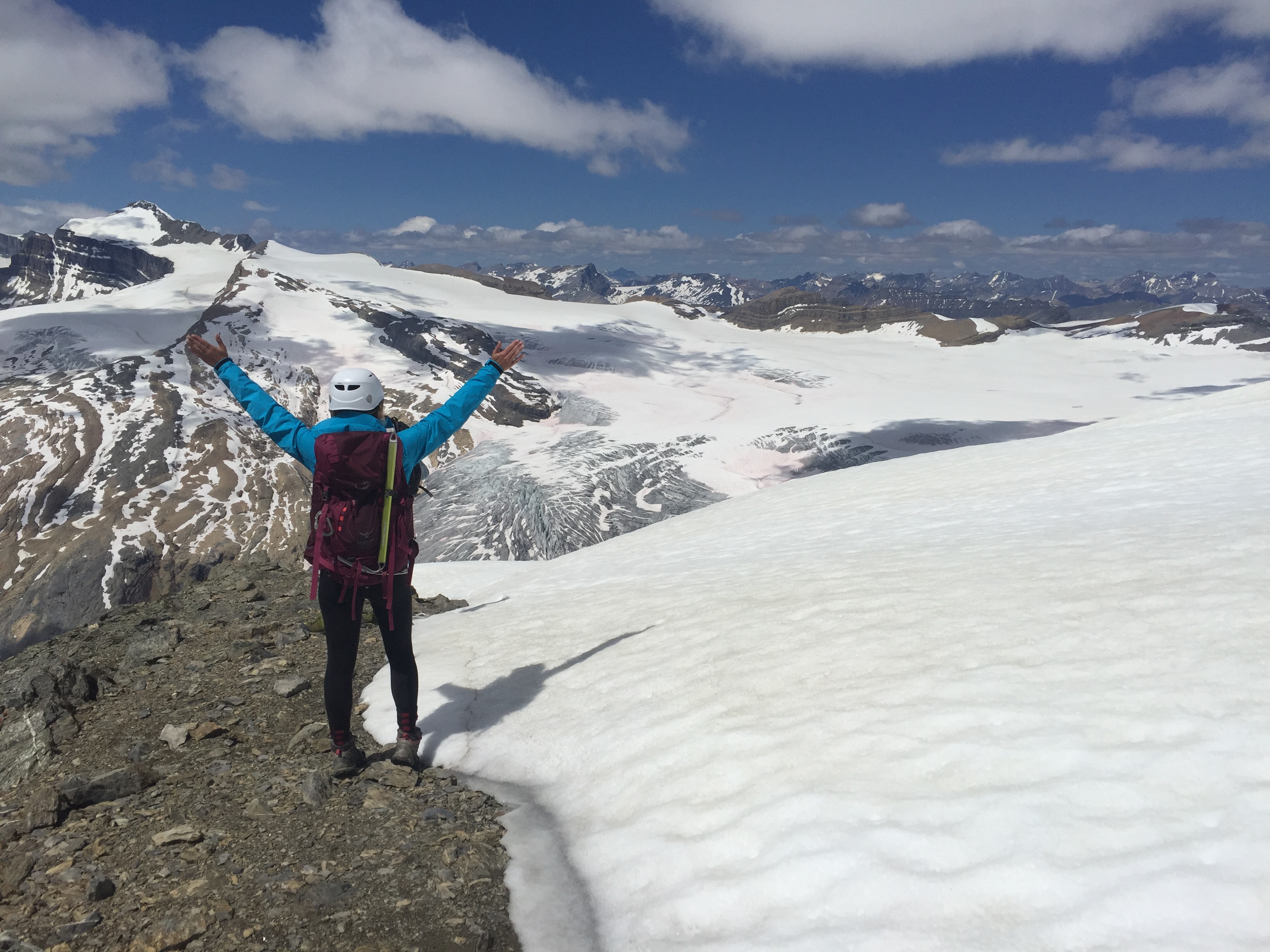
The views from the summit are possibly the best views we’ve seen in Yoho. On a clear day you have full perspective of Mt Daly, Waputik Ice Field, Daly Glacier, Niles Meadow, Yoho Valley, Twin Falls, and in the same view you can spot both Emerald Lake and Sherbrooke Lake.
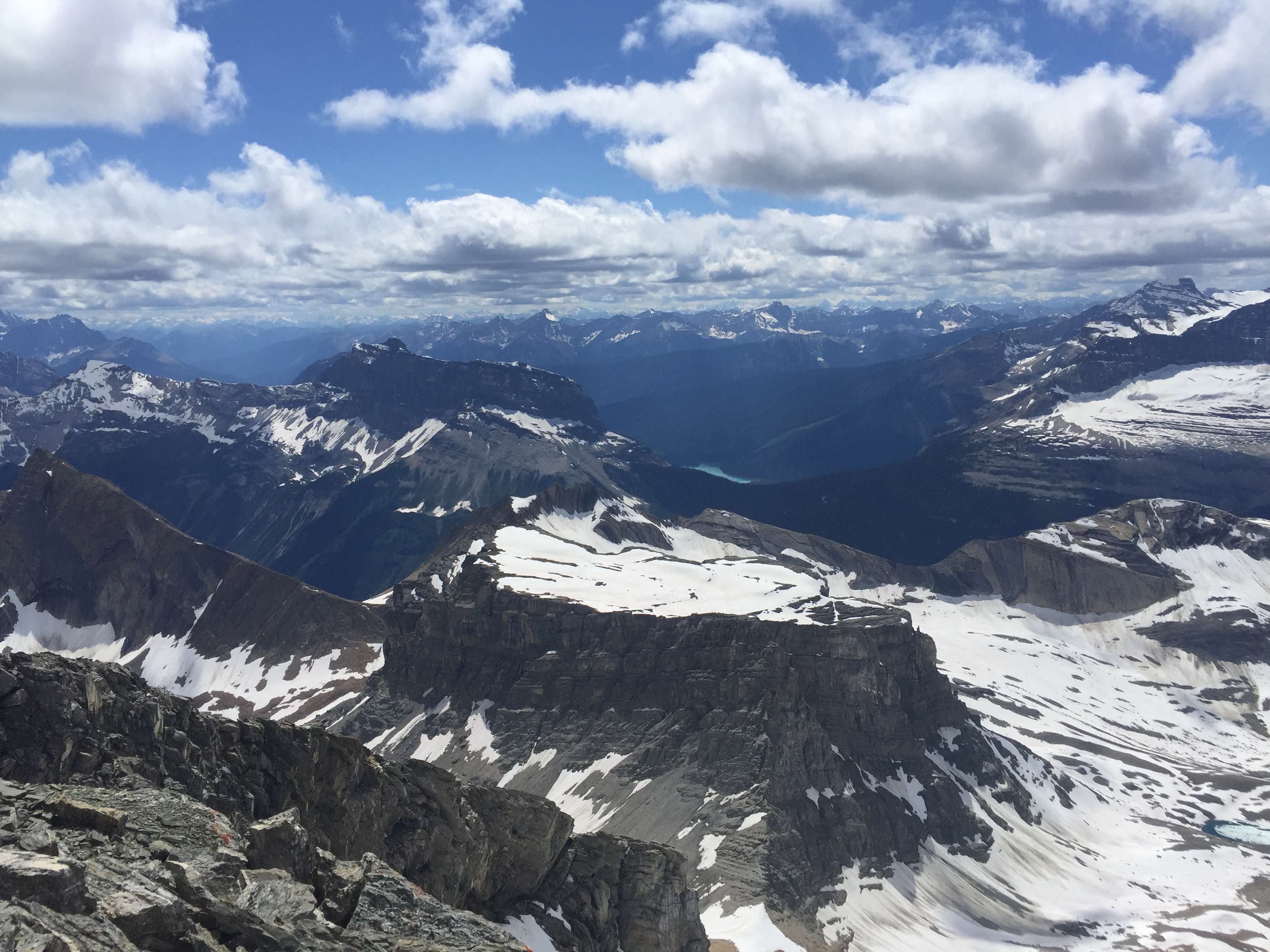
From here Mt Daly is quite observable. For those considering Mt Daly note that the approach is much longer and that it is rated a difficult scramble. The summit ridge between the false and true summits is comparable in exposure to the knife edge on Mt Lady MacDonald. Ideally, you should give yourself 2 days and camp/bivy above Nile Meadow to do both peaks in the same trip. Otherwise, you have to make the long trek in and out from the meadow… twice.
On descent we re-traced our path back down past the pinnacle. From there we decided to stay above the meadow and traverse above the slope (west side) that we came in on. This made for a breathtaking hike out; an additional meadow lies hidden to the west of the plateau. The only catch was some argumentative route finding back to the trail. All in all it made for an excellent day in good company!