August 28th 2026. Skoki, AB.
Trip Total: 11.5hrs, 25.5km. Elevation Gain:1475m
Moderate Scramble via South Ridge;
Moderate/Difficult Scramble; route finding; for the west slope descent.
Stats include in the initial hike into Skoki from the Fish Creek carpark and our continuation hike over to Merlin Meadows campground after descending off of Oyster Peak. This was the first day of our three day long trip. Interestingly, this is the most accurate set of stats I’ve ever recorded on my Garmin Instinct, which usually undercuts elevation by 100m or more. On this day, it was only off by 7m!
Bri and I had booked this 3 day 2 night trip far in advance, and having only previously done a few peaks in Skoki, had ample choice for scrambles. Our first night would be at Merlin Meadows, so logistically it made sense to chose one of the classic Kane scrambles. We previously did Fossil Mountain in 2025 which is right next to Deception Pass, so that left us with either Skoki Mountain near the campground or Oyster Peak which would require back tracking west afterward. We chose the latter of the two, wanting to save the much easier Skoki Mountain for our hike out on the third day. In choosing Oyster Peak we were taking on a big first day with overnight packs but were no strangers to +25km days this past summer.
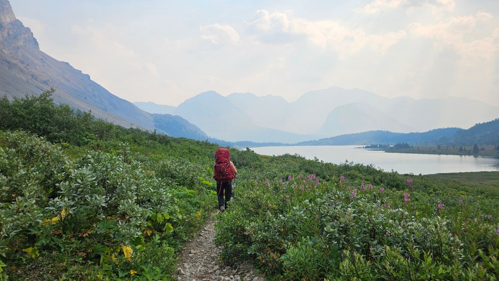
We managed to start the hike just before 8am. And similar to our recent trip up Mount Richardson a couple weeks earlier, managed to snag a parking spot in the actual lot despite the volume of vehicles parked along the road. I’d call that a strong start! We kept the camera phones away for the first leg of the hike in and focused on maintaining a consistent pace not wanting to over exert ourselves before having started the scramble. Our long approach to Oyster would involve first hiking to Baker Lake, then north over Cotton Grass Pass before leaving the trail to access Oyster’s southern most ridge. All-in-all it meant hiking roughly 15km to the start of our scrambling route. I went into this day primarily off of Kane’s description in Scrambles whereas Bri did a little more homework by reading Steven Song’s trip report in addition to downloading the map off of Strava. The offline map proved very helpful both peaks on this weekend trip.
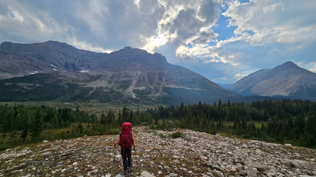
Given our heavy packs, we made decent timing on the approach having reached the junction for Cotton Grass Pass / Baker Lake at 11:23am. There was quite a level of excitement between Bri and I: this was a new corner of Skoki for both of us having only been as far as Fossil Mountain. We had previously camped at Merlin Meadows for Larch season in 2017 but it snowed for most of that trip and therefore we didn’t see much while back there. Back to the present trip, each step forward was a step into new terrain for us. By noon we had hiked over Cotton Grass Pass and were now navigating through the bush towards what would become Oyster Peak’s south ridge. The light bushwhack was the result of us following a route on Strava, we later observed that this thicket of trees may have been avoidable.
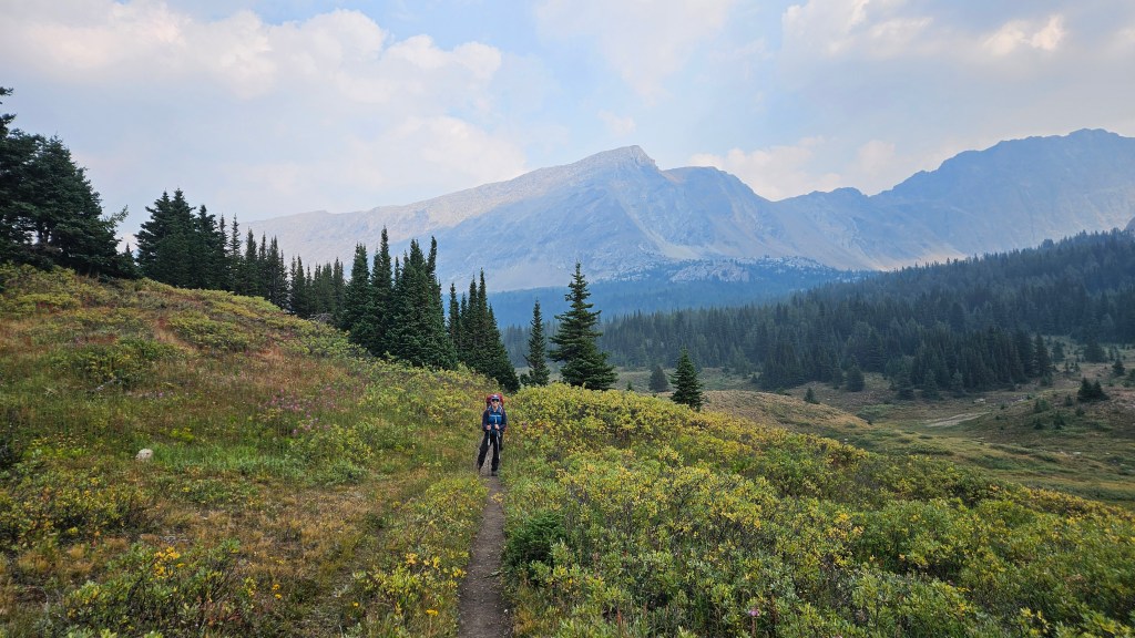
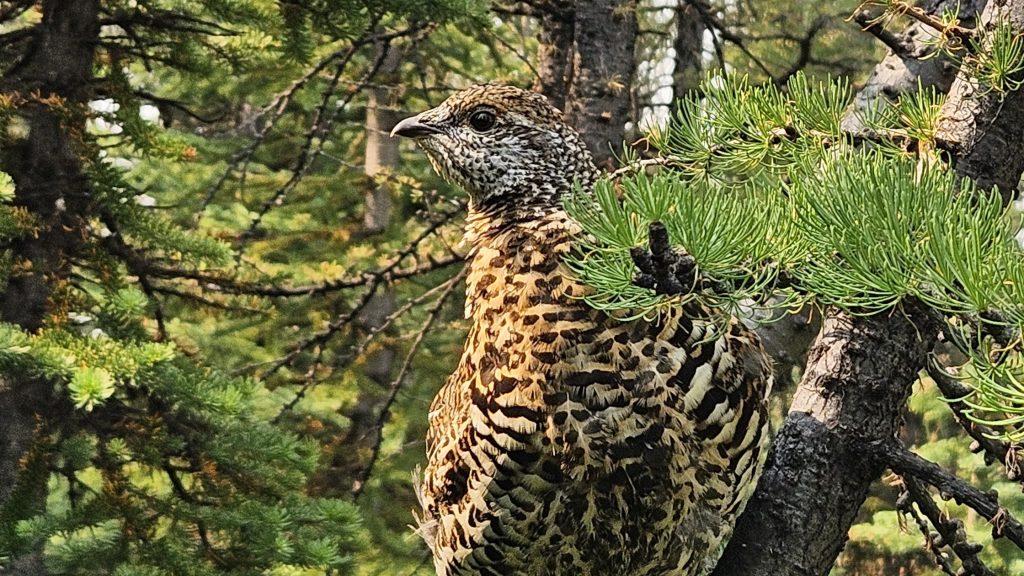
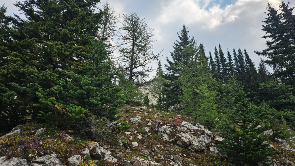
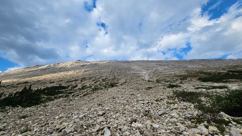
From the edge of tree line up to the south summit we had roughly 450m or so to gain vertically. A steep broken rib of diagonal slabs towered above us and we tackled it head on. There was tons of scrambling variation up this section, we stayed slightly to the climber’s left of the exposed cliff crest. Hiking poles were very helpful in scrambling up the various weaknesses in the slabs, occasionally getting steep enough for the scrambling to become hands on. Not much else to report on for this section, just that it was wicked steep going up and all the more taxing with our heavy overnight packs. This terrain would be a nightmare to travel in wet weather.
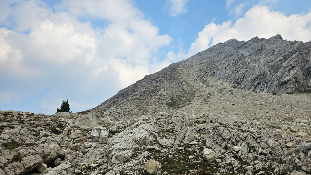
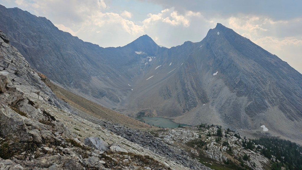
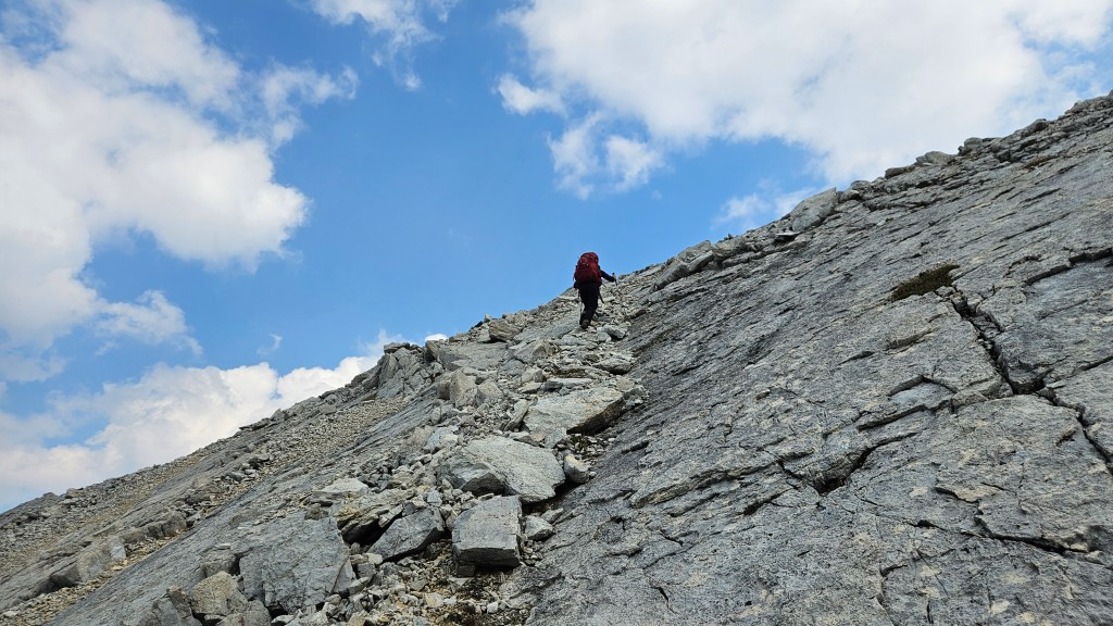
It took us around an hour and twenty minutes to scramble up onto the south ridge, topping out onto what ended up being the south summit. There was even a register here that specified Oyster Peak – South Summit. Huh, I guess its really Oyster “Peaks” then and this counts as two?! It gave us a slight laugh but we signed it anyways. We kept our snack break here short knowing we still had a lot of ground to cover. According to Kane’s description in Scrambles there is only a 40m height difference between summits and from what I could see on the Gem Trek map it was nearly a 2km long traverse. This traverse ended up being our favourite part of the day! What looked like a simple ridge walk at first ended up being a really fun scramble. There was even some blue sky overhead, after a rather smokey morning.
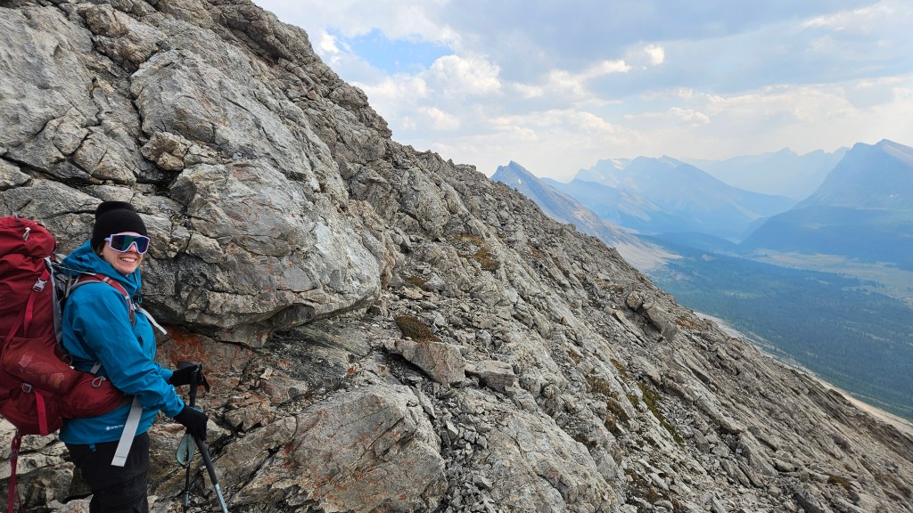
Hiking close to the ridge crest most of the way, we stayed high above the down-angled slabs of the west slope while being mindful of the airy drop to the east. The ridge occasionally narrowed in places but was never overly difficult; any of the more exposed sections were easy to bypass by slightly trending to the west. There were a few broad sections too. We focused on the mountains to the north: Cyclone, Pipestone, and Drummond. One of these would be the next day’s objective and we would later make that decision based on our observations from Oyster’s main summit. We were also frequently checking Bri’s offline Strava map in effort to flag the descent route towards the main the main summit. I think I may have spotted it along the way and we built a cairn to help us find it again after our summit visit.
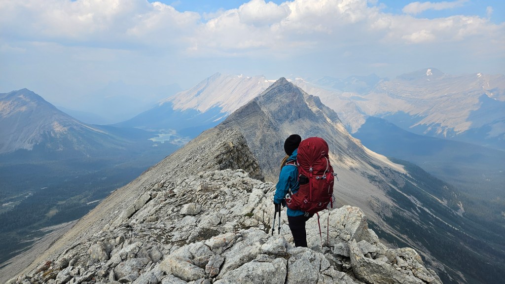
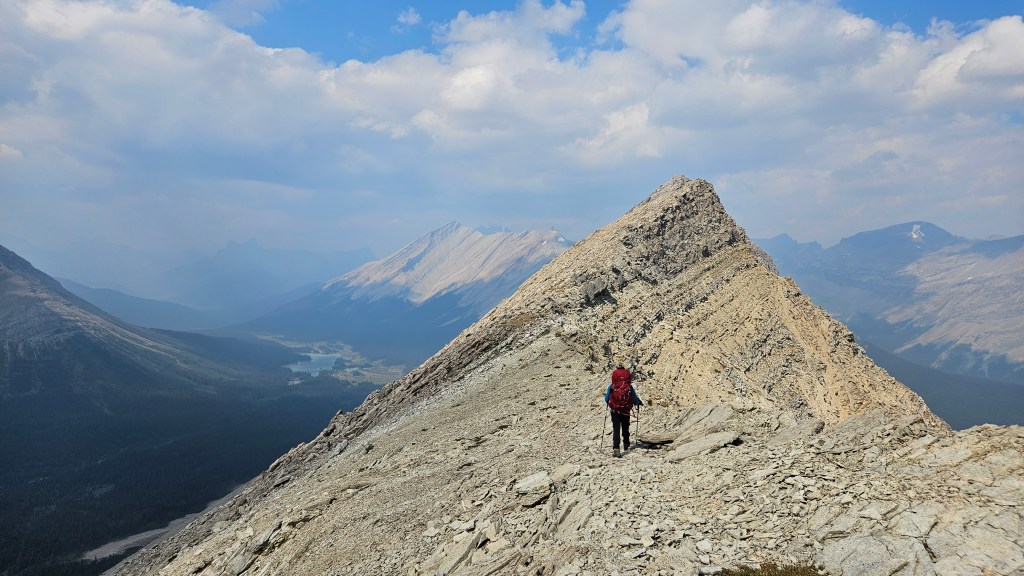
The traverse was most enjoyable and the views had been awesome the whole way. This really was a whole new corner of the map for us and the stoke was high. The mixture of narrow and broad sections of ridge crest kept us entertained. Oyster had another surprise waiting for us: the north peak’s summit block involved a fun 10-15 minute hands-on scramble up a stack of broken diagonal ledges. Compared to the ascent of the south summit this was easier scrambling but still of a moderate difficulty rating. It had taken us a little over 90 minutes to complete the traverse between the two summits, topping out on the north summit around 3:20pm.
There was of course a register here and somewhat surprisingly it seemed have less entries then the south summit’s register… I guess some folks don’t bother with the main summit, which I find odd given that its the one actually labelled on the maps. The reverse was also seemingly true, that a handful of entries indicated that some summiting parties had only visited the north summit with no interest of traversing to the south one and sticking to the west slope route for both ascent and descent. The west slope is indeed the more direct route to the true summit, but the ridge traverse was so enjoyable I can’t imagine skipping it.
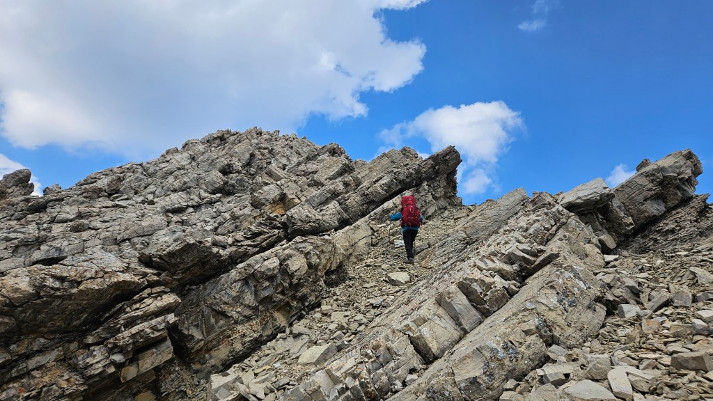
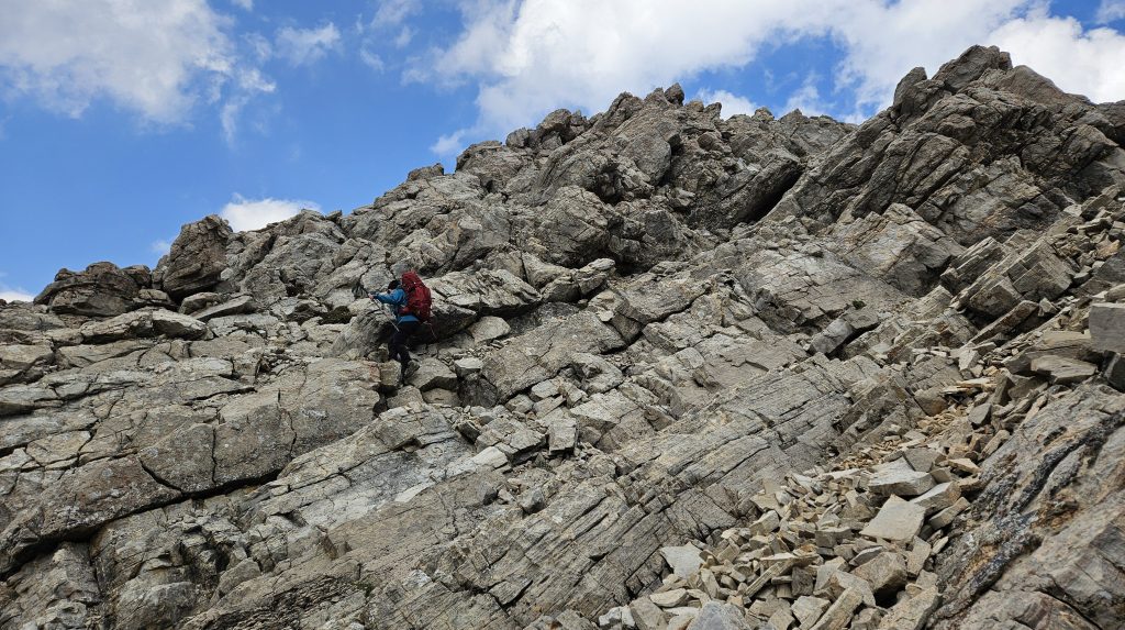
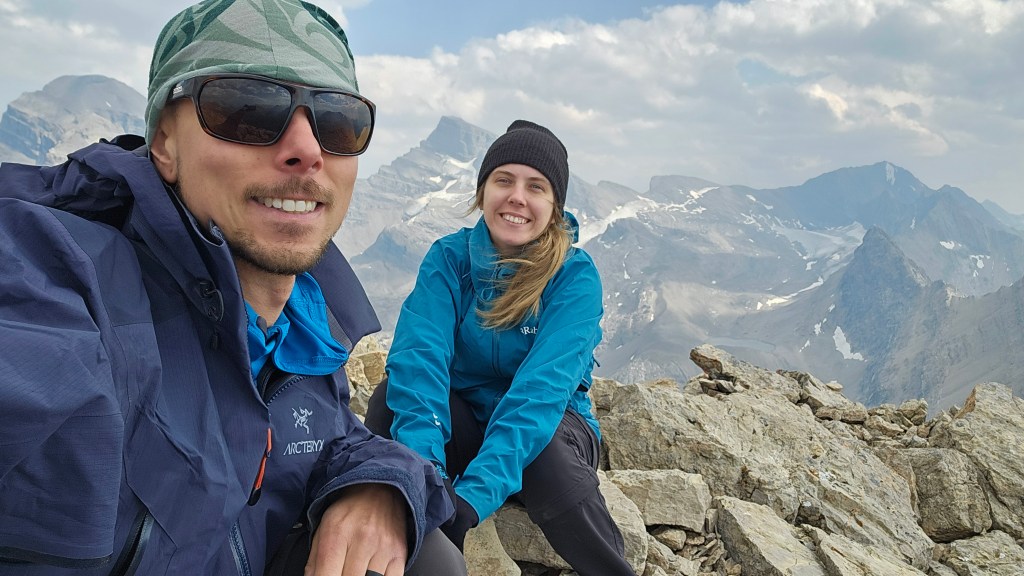
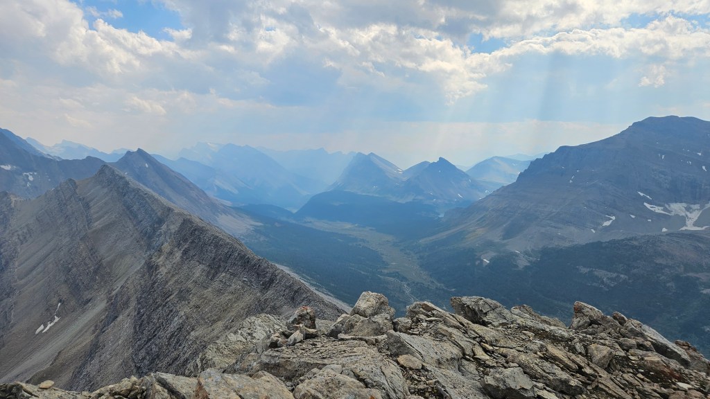
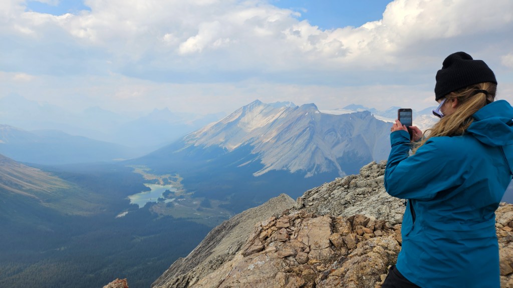
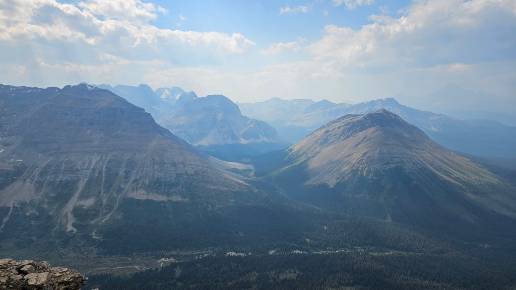
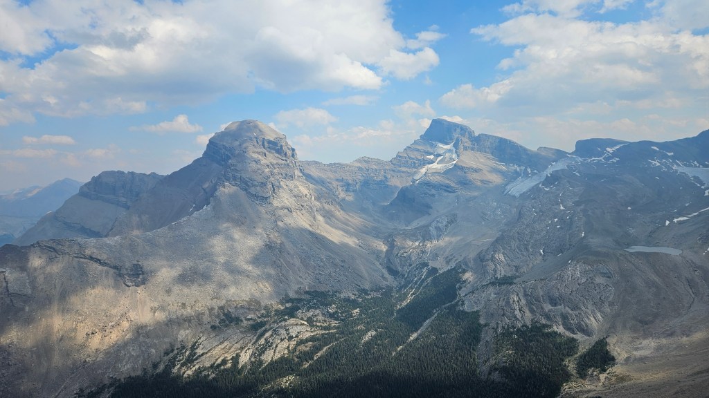
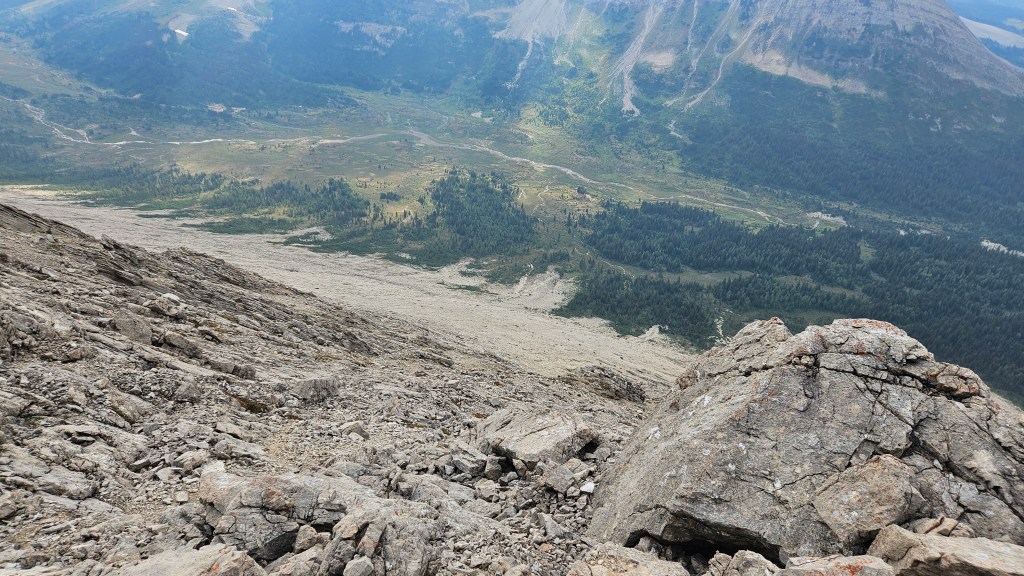
We spent a good fifteen minutes or so studying the surrounding peaks and landscapes, including our route for the following day. Observing the Pipestone Valley from Oyster’s summit, we decided that Cyclone Mountain would be the next day’s objective. But first we still a fair distance to go to reach our campsite at Merlin Meadows. After scrambling back down the summit block we had to traverse a little ways back along the ridge to our intended descent line. The cairn I left ended being not quite the correct spot so we dismantled it and were now going off of the line from Bri’s Strava. An awkward down climb over rubble covered slabs brought us to a sort-of gully that led directly back down to valley bottom. Or at least it looked direct. It proved to be quite challenging terrain to scramble down. Much route finding was necessary to avoid the steeper slabs and short but sheer cliff bands. Steep down-angled slabs with ankle rolling debris the whole way down… this proved to be killer on my knees and it took us a while to route find our way down. The heavy pack added to my instability and I ended up flat on my ass more than a few times. I nearly gave this slope a difficult rating based on the poor footing alone!
It took me nearly two hours from summit back to valley bottom and to catch up to Bri, who had faired much better than I with the down climb. My knees were on fire – more so than usual, so I took an ibuprofen from my first aid kit and rejoiced to be back on flat terrain again. We took a direct line through the lightly treed meadow back to the main trail. Double checking the map we could see we were slightly north of where Cotton Grass Pass trail forks and were initially on the branch of trail headed for Red Deer Lakes. Rather than backtrack south we instead opted to bushwhack due west to gain the left branching trail bound for Jones Pass. We found it within a few minutes and had no issues following this past Skoki Lodge and to the campground at Merlin Meadows. From the base of Oyster’s west slope it took roughly an hour and forty minutes for us to reach the campground. What a relief it was to set up the tent campground before nightfall!
Other than the downclimb off the west slope, we really enjoyed this scramble and I can only imagine how much more enjoyable it would be with a light day-pack. Highly recommend completing it as a traverse regardless which end you start with – the south is definitely easier.