July 4th 2018. Yoho National Park, British Columbia.
Round Trip: 9 hours Elevation Gain: 1180m
Mostly Hiking; Easy Scramble
*Updated Jan 2026*
Paget Peak itself is an easy objective that I first visited in 2015 and have since returned to on several occasions. During that original trip, I observed several parties continue further along the ridge to a second highpoint, which I personally referred to as “Paget II” and would hike up in 2016. Later in 2018 Bri and I would traverse past this 2nd highpoint to a 3rd highpoint, which at the time I assigned the name “Paget III” at 2740m. We would again repeat this traverse on May 21st 2023 with our friends Dan and Flo, and for a second time recorded a height of 2740m. Both trips from 2018 and 2023 ended up being 8 hour days despite taking different return routes. Photos in this report are from the original 2018 trip, with updated commentary from 2023’s trip.
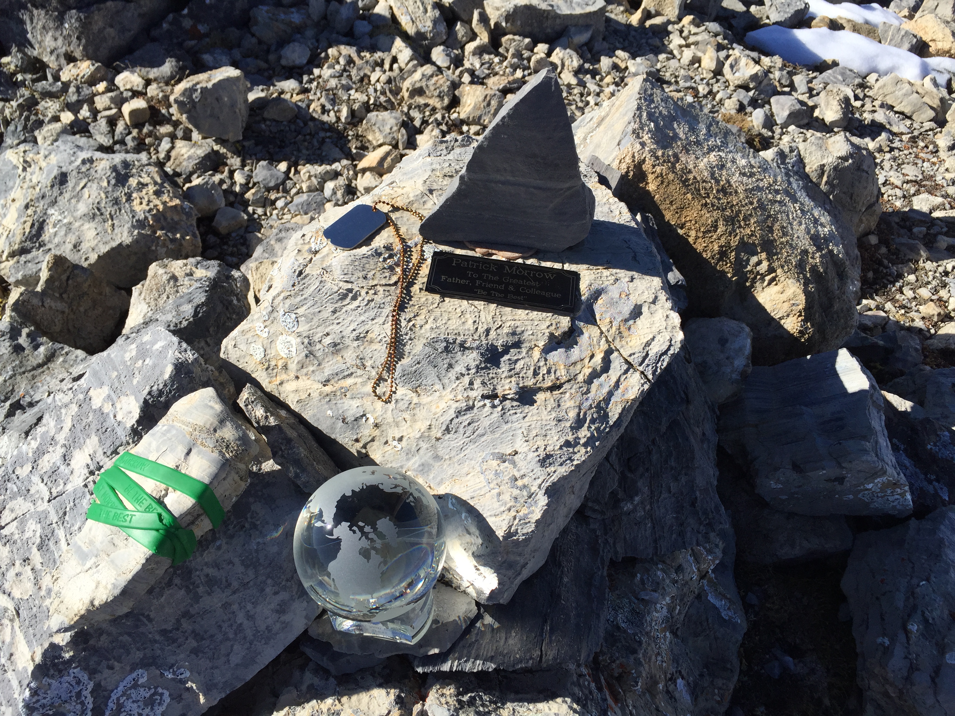
“Paget III” 2740m was the unofficial name I used to describe the high point that sits at the back of the Paget Peak Traverse. The first Paget Peak at 2560m is the formally recognized one with a summit register and memorial. Paget II is in reference to a bump at 2600m half way between Paget Peak and Paget III. Since writing the original report, I have noticed both Bob Spirko’s website and Peak Visor the name “Paget Peak North” with a height of 2730m have been placed on the same highpoint. Thus I have changed the name of this report to Paget Peak North to remain consistent with others, however kept the height of 2740m as we recorded it more than once. Also since the original version of this report, I have scaled back on the rating of this route by assigning it an “easy” scramble rating of “mostly hiking”. Originally in 2018 Bri and I had assigned this a moderate scramble rating but that was more-so due to snowy conditions.
For both 2018 and 2023 we followed the popular Parks Canada hiking trail to Paget Lookout and continued up through tree-line and up the southern talus slopes. While the official trail ends at the lookout, there are numerous well-travelled paths travelling up options Paget Peak. I stand by my older commentary of this being a “touristy scramble”, and actively take friends and family up this as an intro peak given its short trip time and stellar views. For those wanting a fuller day that breaks away from the crowds, the extension to Paget Peak North is well worth the effort and is no more difficult than the efforts up the first Paget Peak.
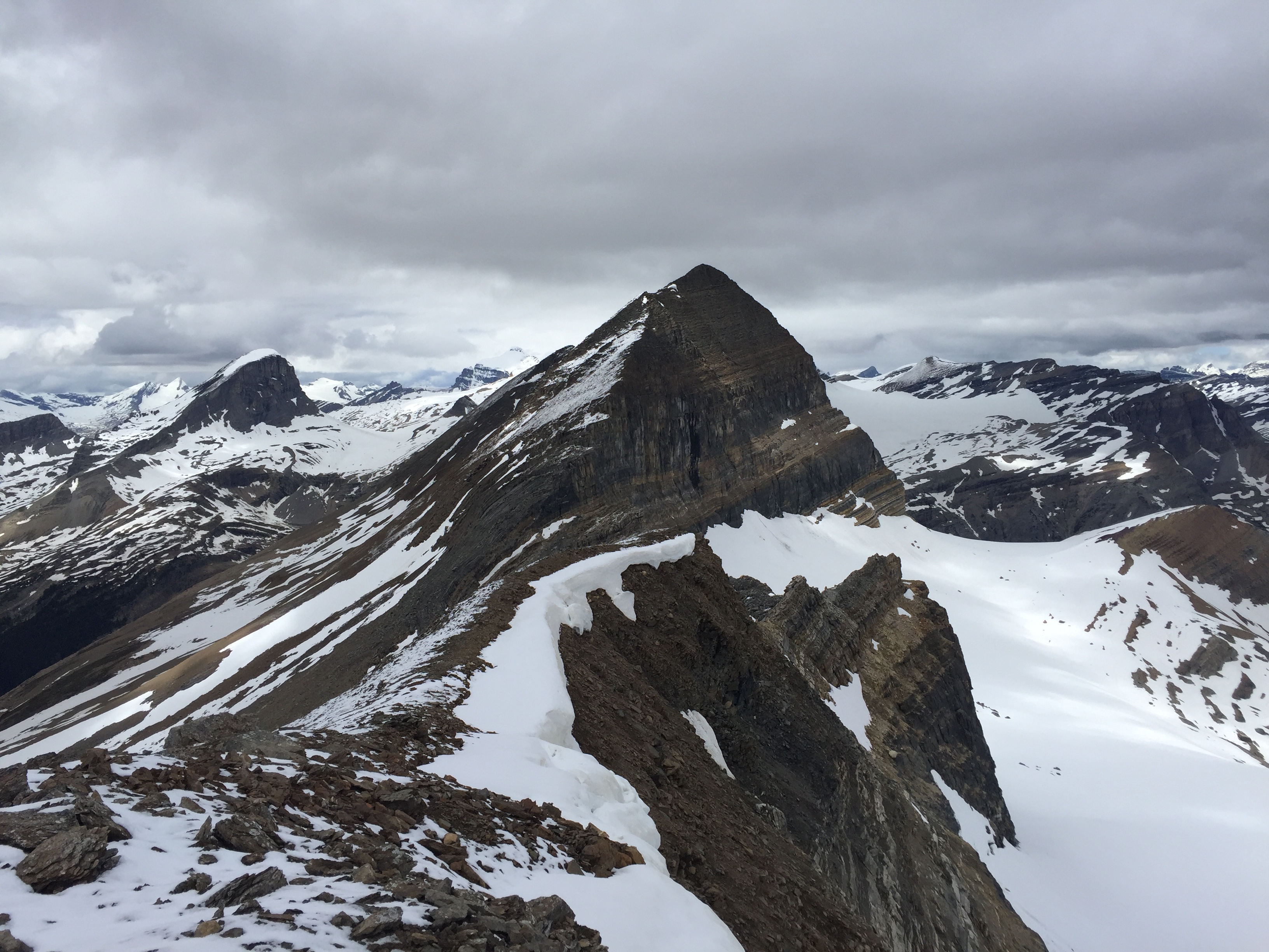
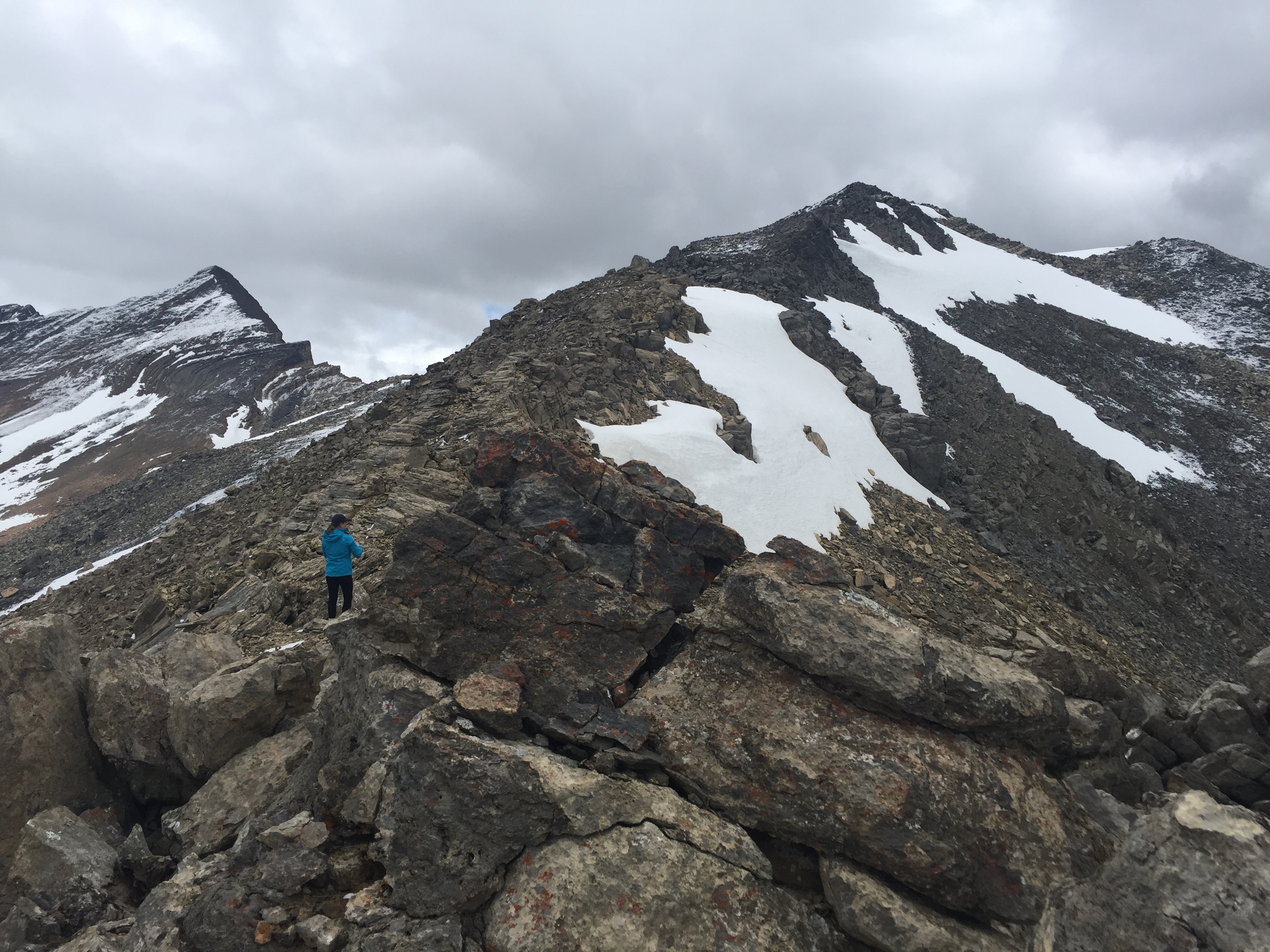
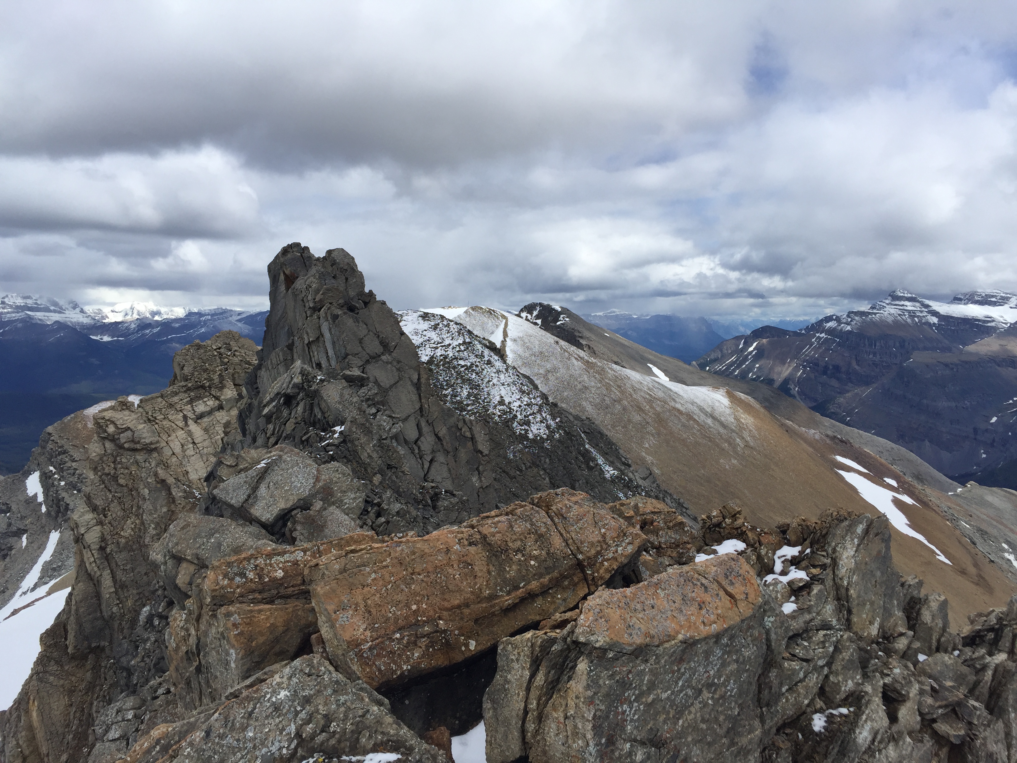
From the formal summit of Paget Peak the next peak, “Paget II”, lies 30-45 minutes further north and is roughly half way between Paget and Paget North. The ridge initially dips before rising again narrowing along the way. Easy scrambling can be expected if staying true to the ridge crest with mild exposure to the east, I believe it was this section in 2018 that prompted our previous rating of a moderate scramble. Rest assured, in dry conditions is as easy as the first main Paget Peak. Hands-on travel can be avoided by dropping a few meters west (Sherbrooke side) back onto the talus slope. In 2023 we actually skipped this bump altogether and side-hilled across the west slope most of the traverse.
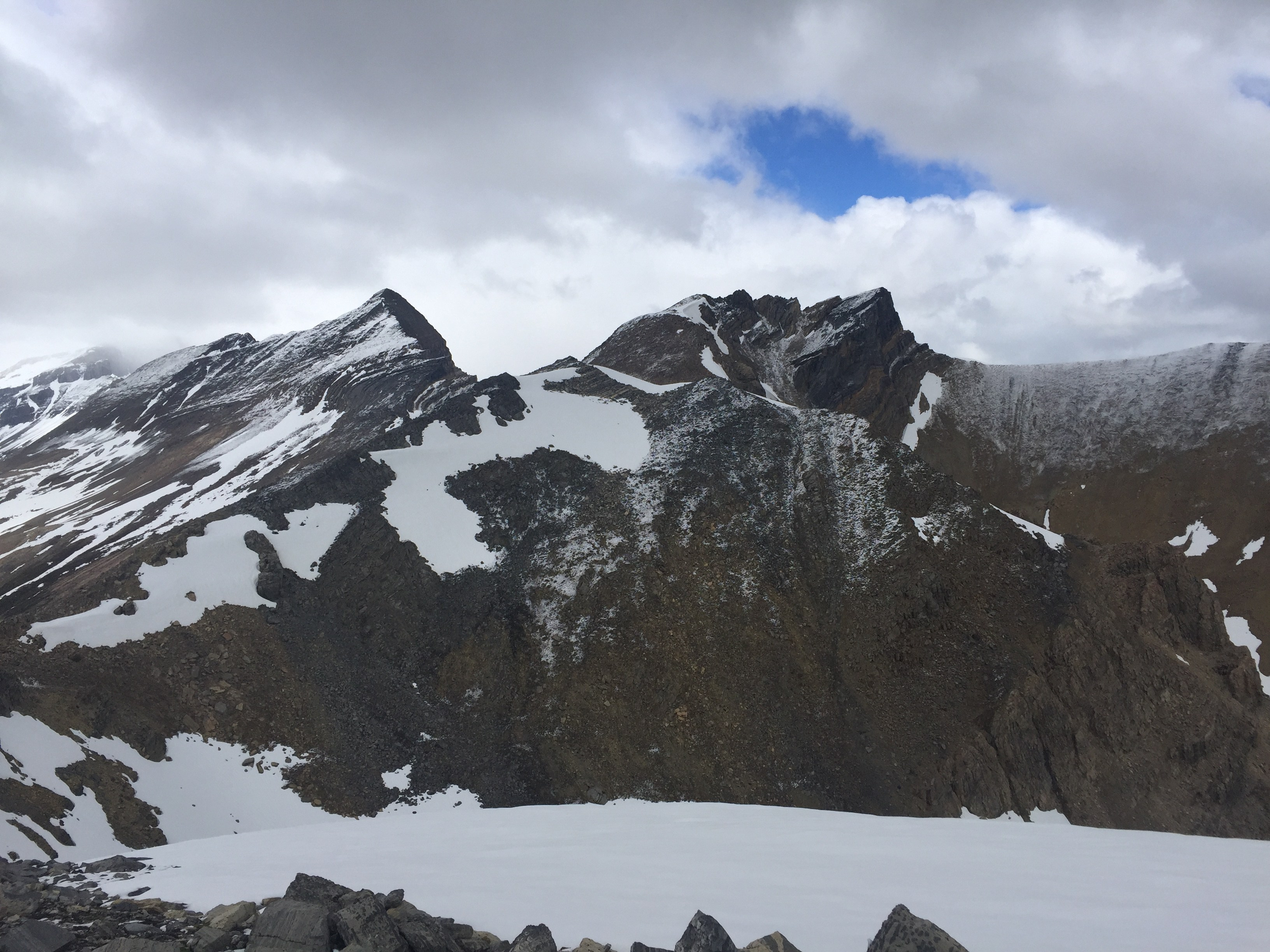
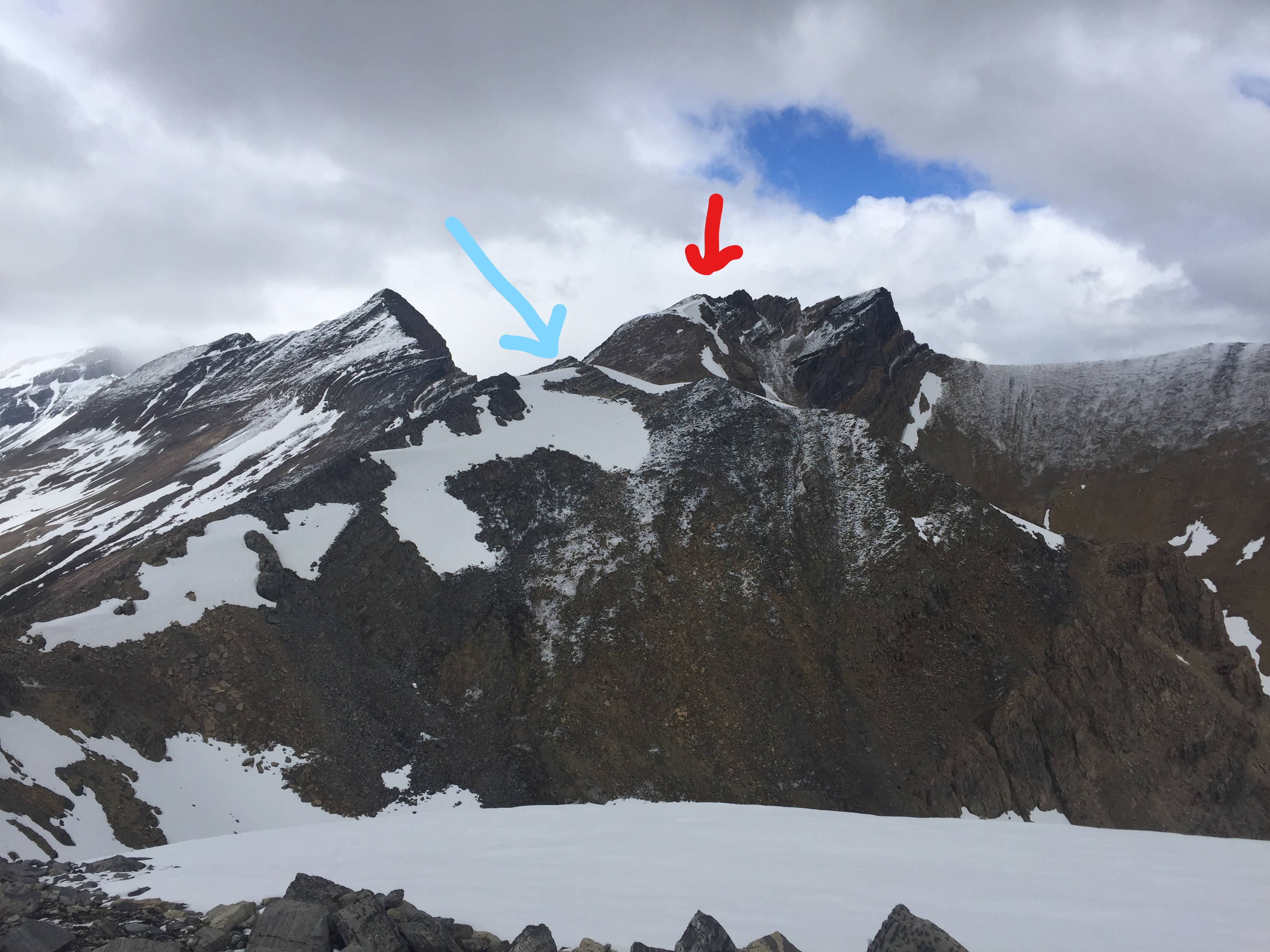
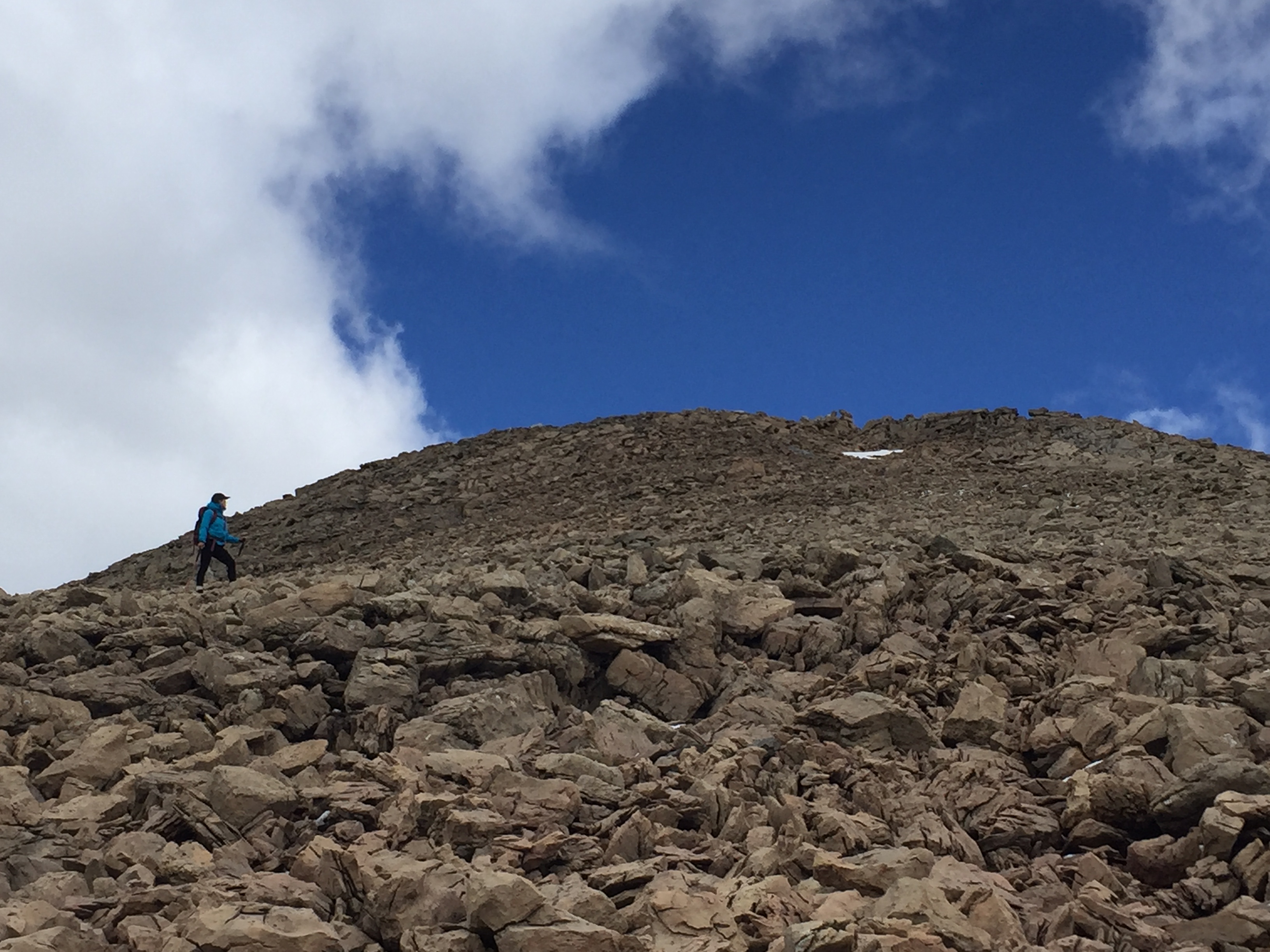
Beyond “Paget II” lies a third high point roughly 140m higher. This would be Paget North and it tops out on a broad point. Immediately to the east are very distinguished black folded rock bands that characterize a connecting ridge towards Mt Bosworth. From both trips we decided that these black folds are not scramble-able and would require ropes for traversing. The accessible high point of Paget Peak North however is a non-technical effort to summit and is quite straightforward.
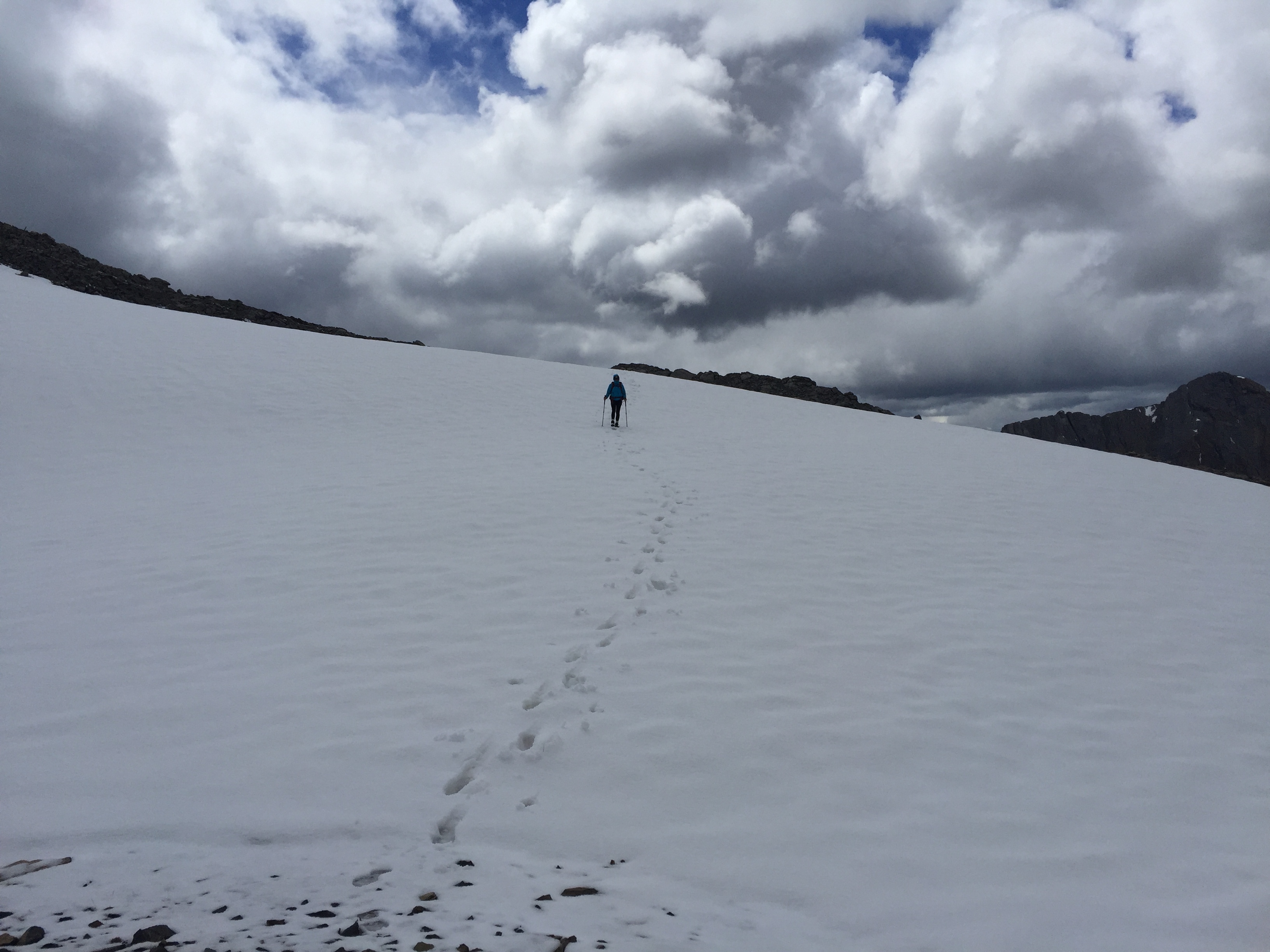
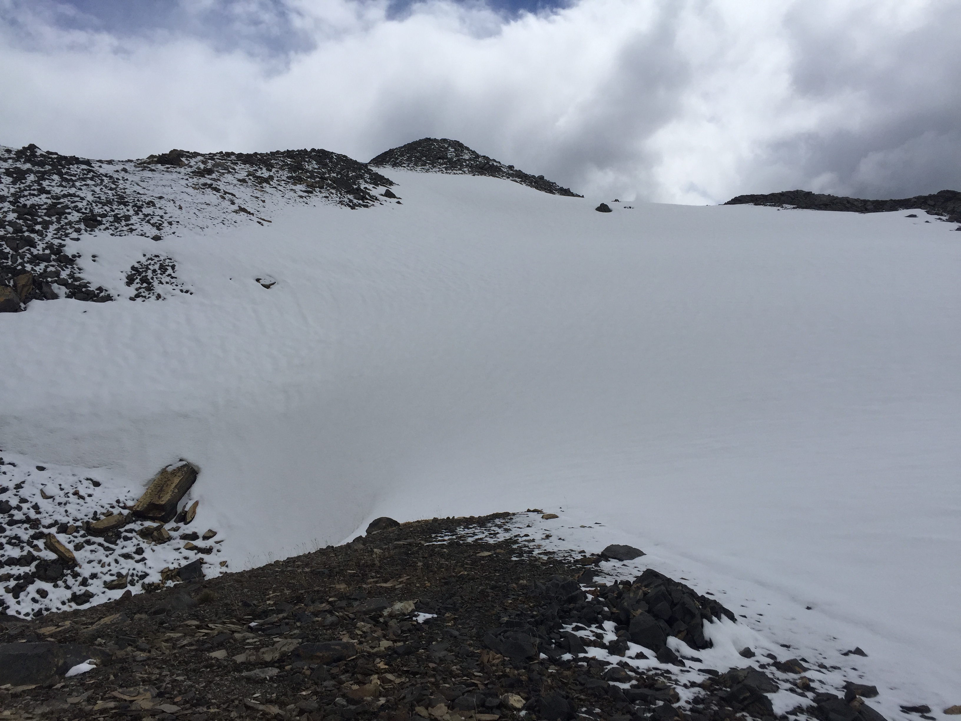
Just like Paget to Paget II there is a dip in the ridge and both trips we had to cross a small snow field. A fair bit of exposure presented itself below our east side (skier’s right) so we had to circle the long way around the west slope before crossing a snow covered scree patch. In 2023 this section was mostly snow-free and the exposed section is easily avoidable, and is mostly still a hike, though trekking poles are highly recommended! Once across the dip, it is a straight forward slog up the slopes to the summit.
There appears to be a forth high point that may be obtainable from here. It’s likely the southern most point of Mount Daly and would involve over 200m of elevation loss before ascending the peak’s slope. From what Bri & I could see it’s likely a moderate to difficult scramble to continue the traverse to this forth high point. I have since learned that this highpoint is called Bath Peak according to Bivouac.com, and as of Jan 2026 have yet to attempt it. Given the tremendous elevation loss from Paget North, I would propose an ascent from the back of Sherbrooke Lake instead of traversing from Paget Peaks.
In 2018 we opted to descend to Sherbrooke Lake to hike back, which proved much more challenging than expected. The descent involved thick bush whacking and steep cliff bands hidden within the trees (moderate scrambling with route finding). Retracing our steps might have been longer but would have been much more pleasant versus the shrubs we thrashed through. Once out of the thick-of-it the hike back along Sherbrooke Creek trail made for a gentle finish to a long day. In 2023 we stuck to the ridge crest and doubled back the way we came… this proved to be easier than the drop to Sherbrooke Lake and also proved to be an hour faster than our 2018 trip.