May 8th 2017. Canmore, Alberta.
Round Trip: 9 Hours. Elevation Gain: 935m
Easy/Moderate Scramble
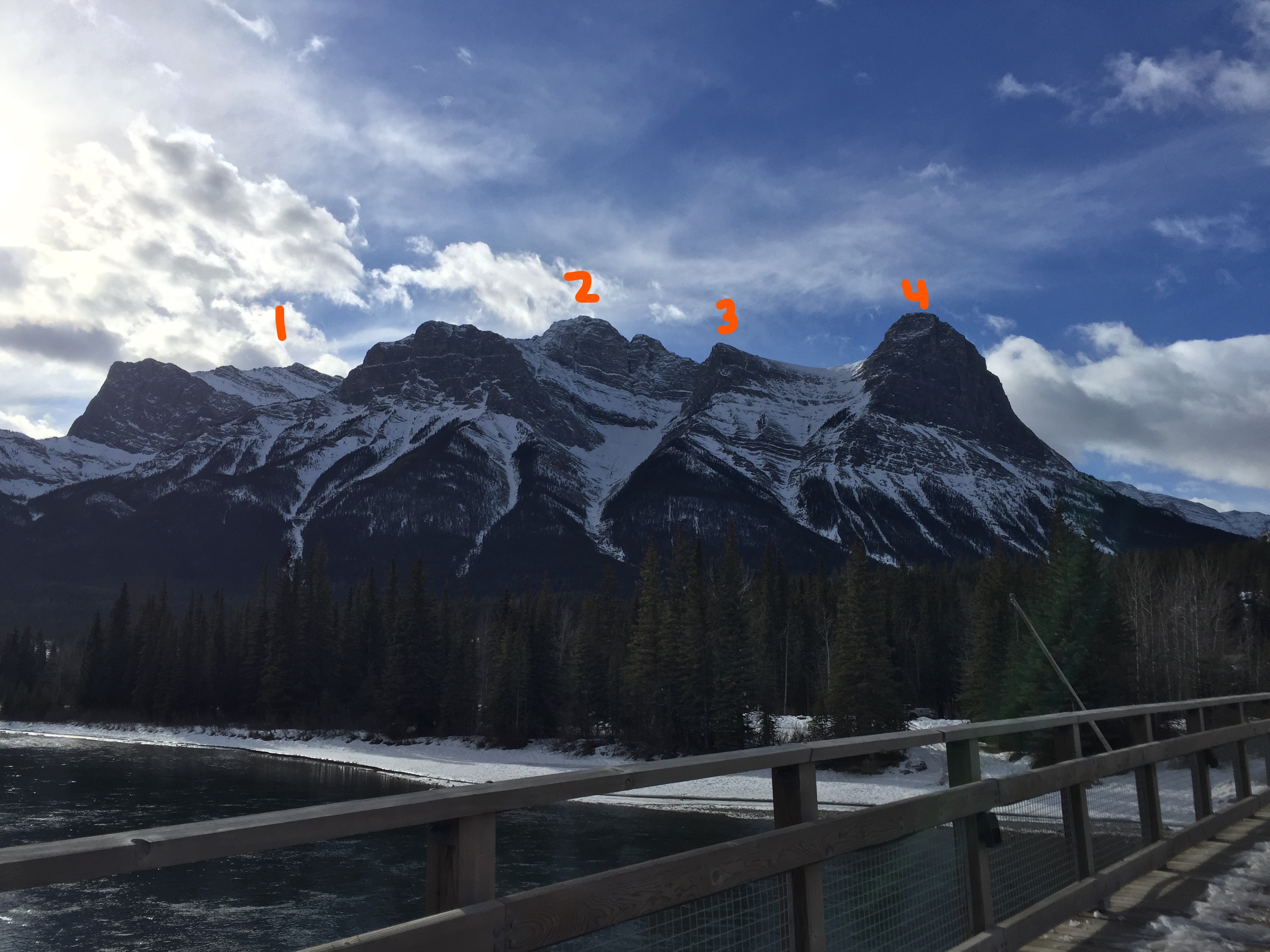
Ship’s Prow Peak is aptly named for its tall ship prow-like appearance as seen from the town of Canmore. While the prow can be reached via trekking and scrambling, this report is specifically for the peak itself. I teamed up with Nick Fitzhardinge for this trip. While I had previously looked up the route for this one, Nick was the trip leader and guide. Our round trip time was approximately 9 hours car to car, though I can see that time frame varying drastically pending on the time of year. Likely 6-8 hours in dry summer conditions, possibly 10-12 hours in winter. The traverse across the ridge is the most time consuming part as the ascent up to the ridge from the canal is quite direct.
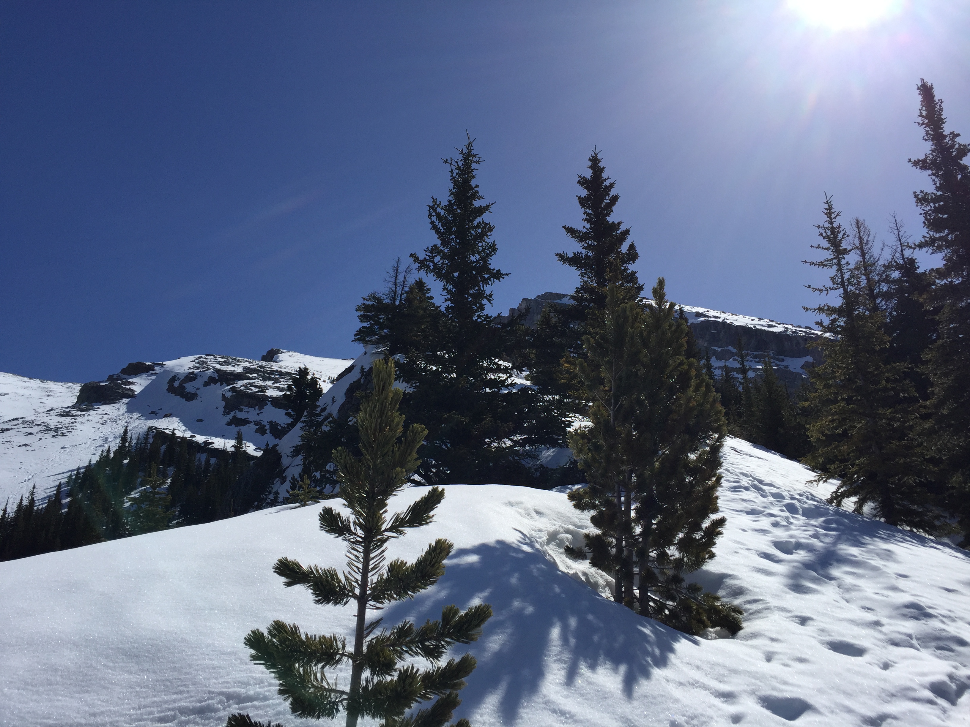
The access for the route is off of Spray Lakes Road, drive and park near the canal that is just past Goat Creek. Having parked at the canal, walk along the canal for 0.5km towards a large man-made gravel slope. Look for flagging and then follow the flagging through the trees. We lucked on our trip in that someone else had recently blazed a trail through the spring snow. Additionally Nick had downloaded the route into his GPS so we had a pretty solid idea of where to go. When all else failed, the flagging provided us reassurance that we had gone the correct way.
Given the conditions gaiters were essential for this trip. Nick wore YakTraks whereas I opted for snow shoes. Both did the job. So long as you are avalanche savvy this route is definitely doable as a winter scramble.
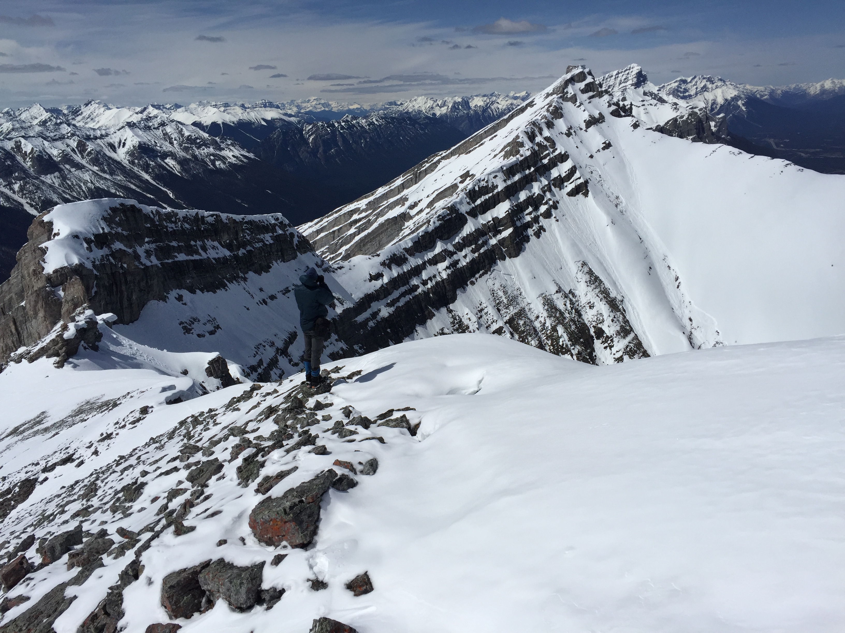
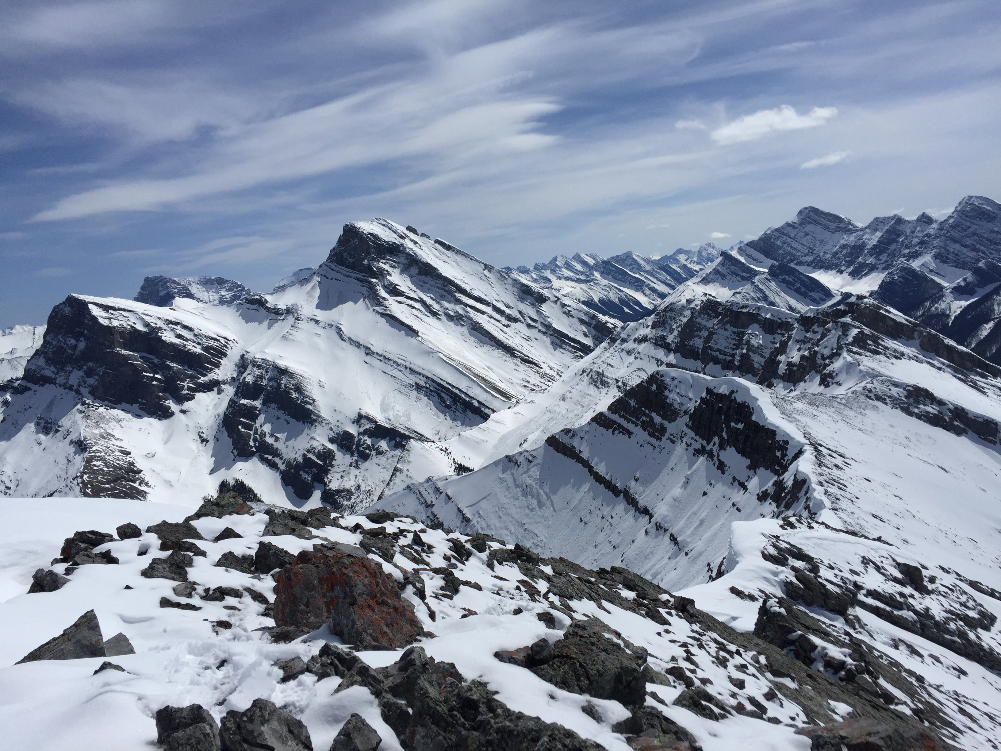
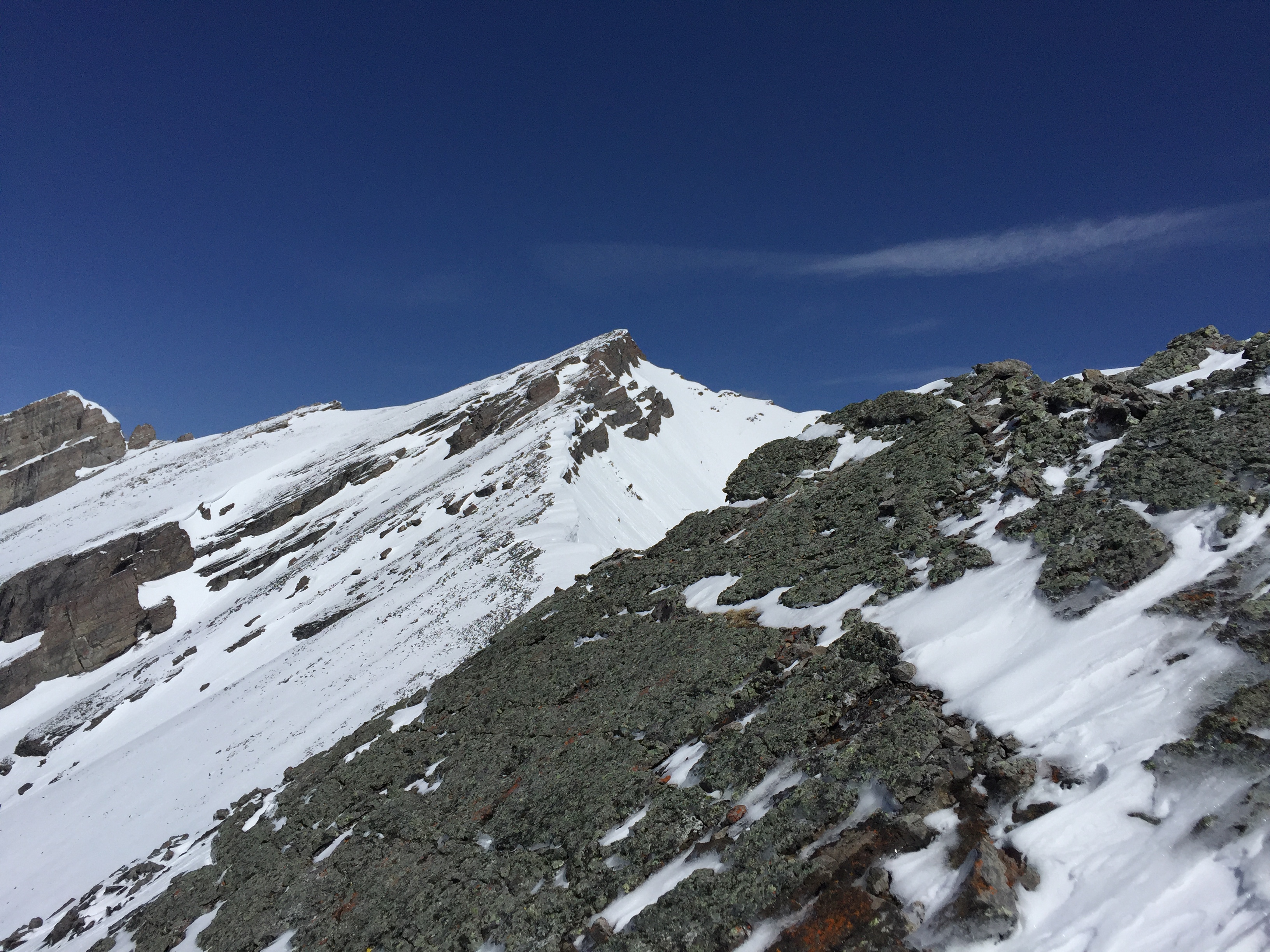
Once above the treeline, the route becomes quite obvious. The slope merges up with a ridge line which you follow west (looker’s left). The ridge crosses over an amphitheater-like bowl. While its mainly trekking across here there is some exposure to be weary off.
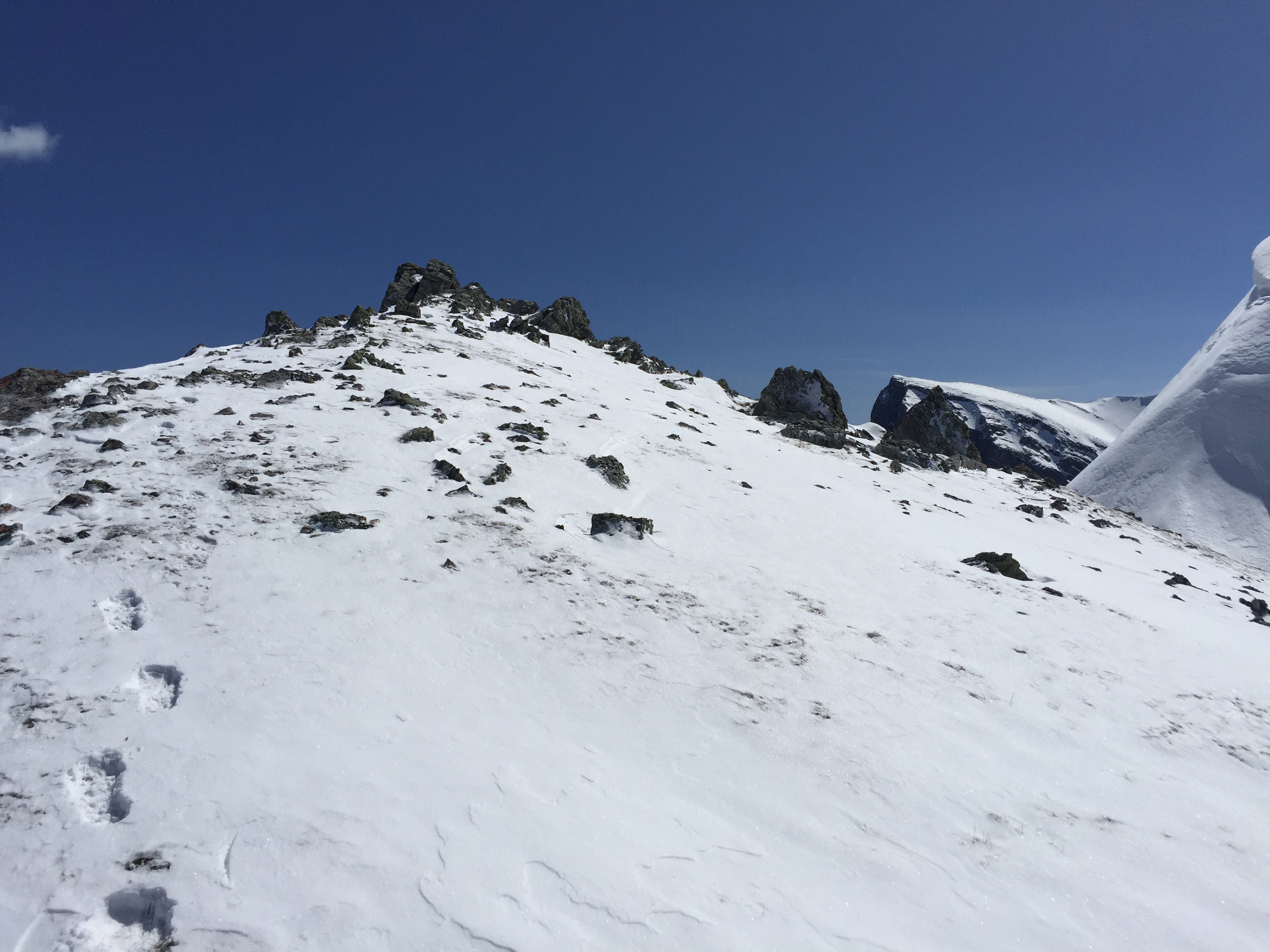
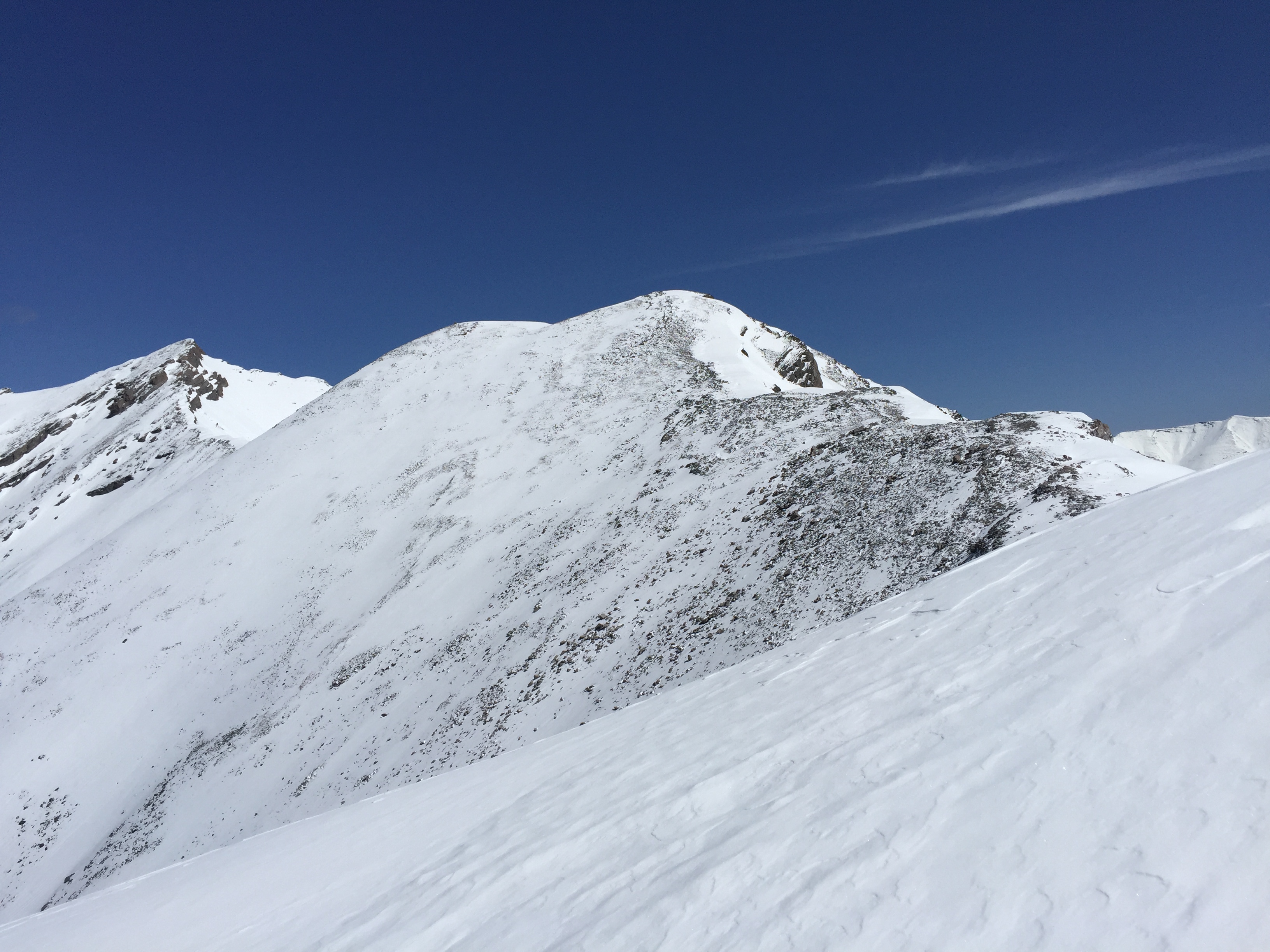
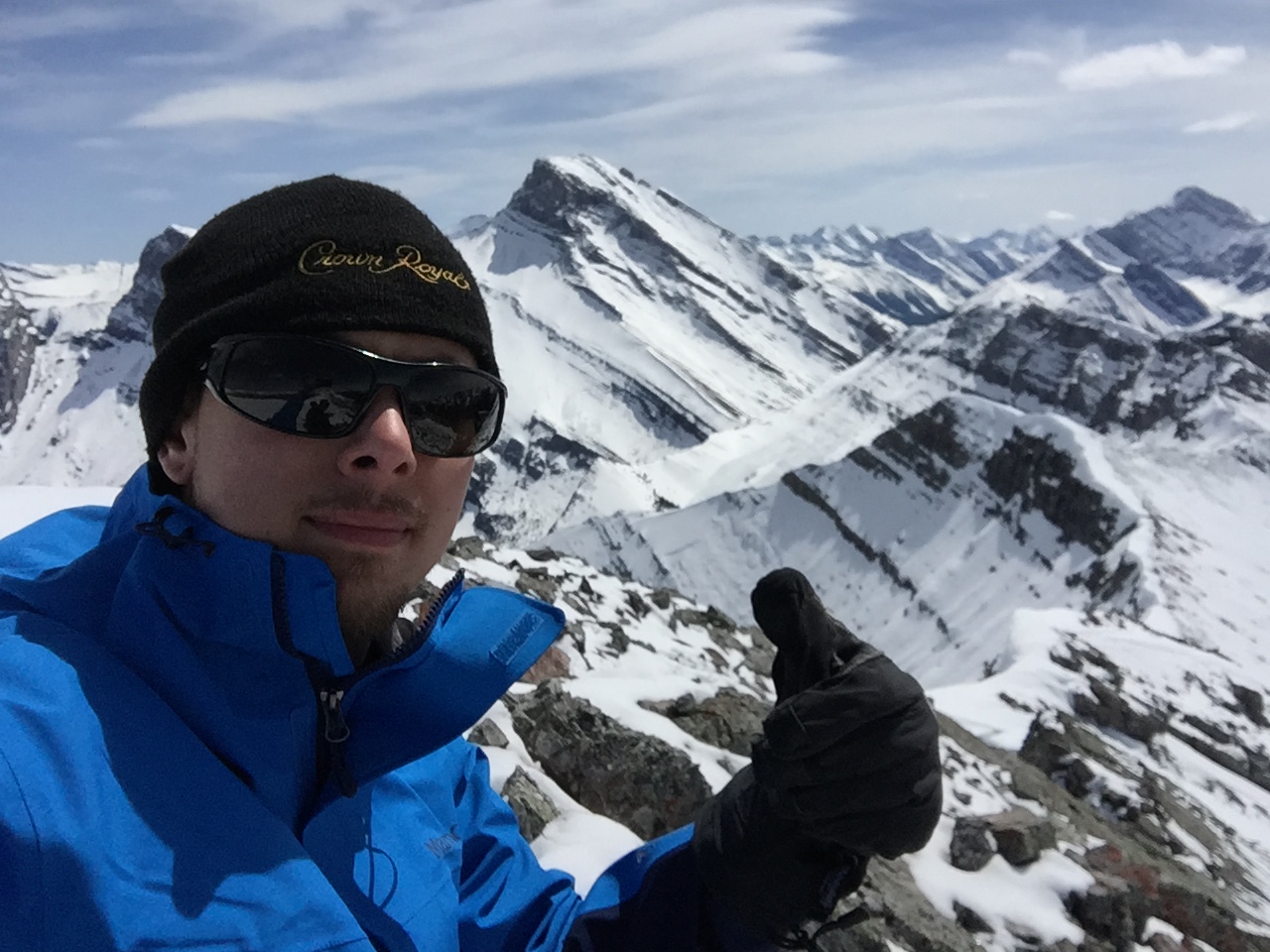
Again its pretty self explanatory where to go from here. Continue west over a few bumps across the ridge. We reached the “false” summit just after 1 pm, and took another hour to traverse over to the proper peak. There’s no point rushing the last leg of the traverse as the views are arguably better from the false summit – especially the view of the Three Sisters range immediately east.
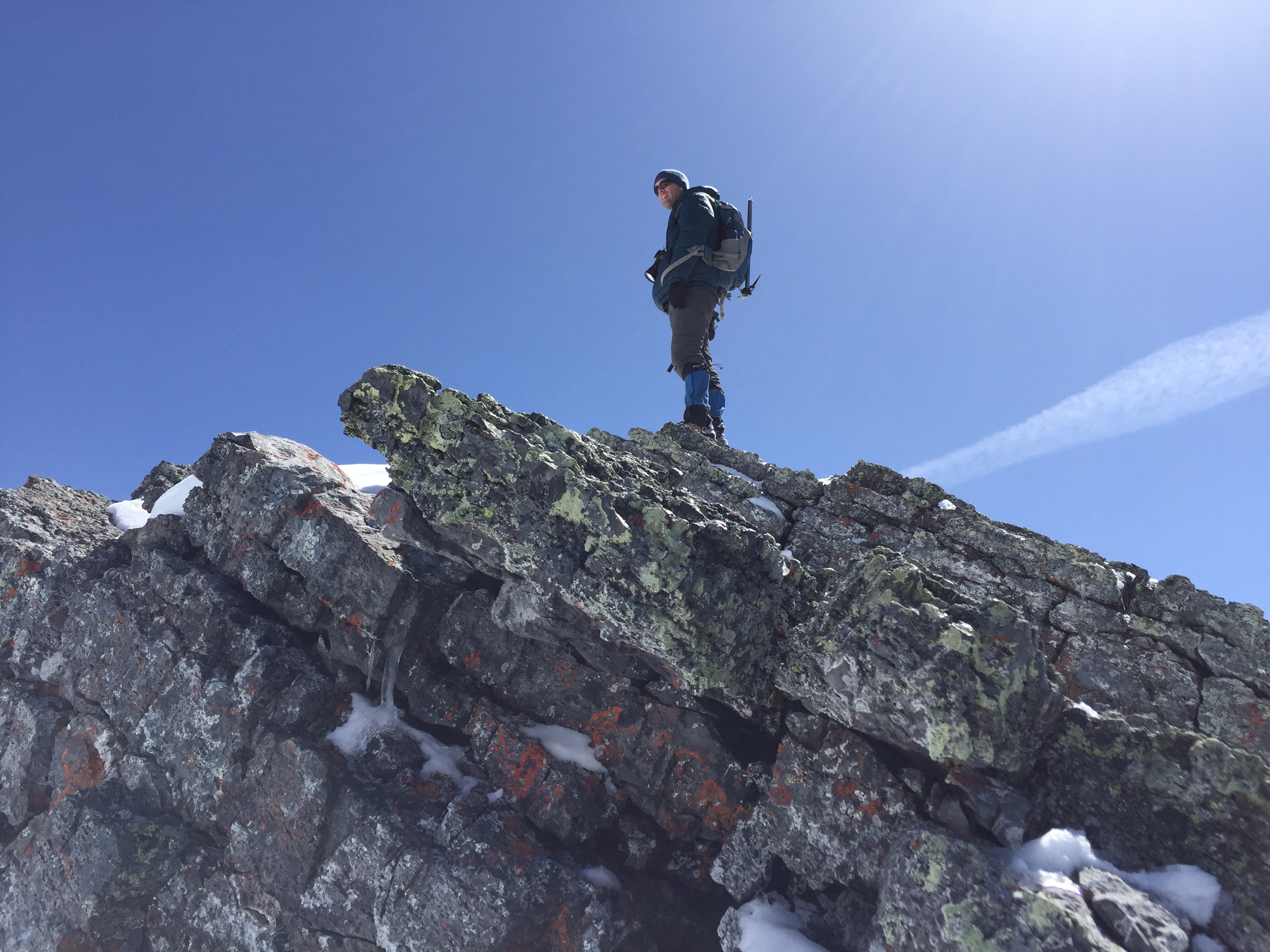
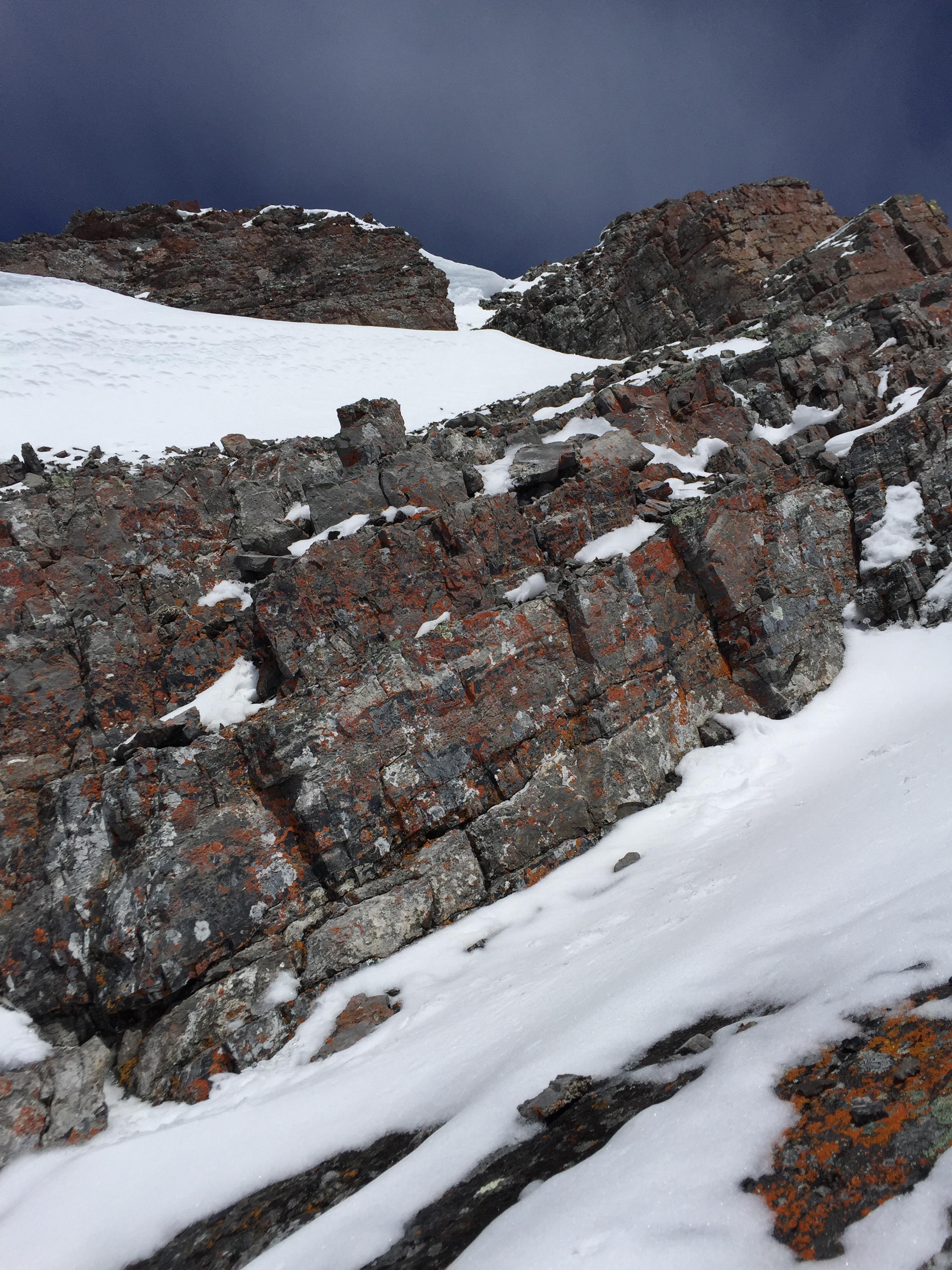
Down climbing from the false summit involved a few slick moves with a bit of exposure. Across and over to the proper peak was mostly trekking again save for one “crux” that lay underneath the peak’s summit block. The slush-like snow made things challenging here – I imagine in dry summer conditions this “crux” would be easy/moderate scrambling at best. After thoughts of photos and cheer, we set back for the long return trip, clocking in at nearly 10 hours for the entire journey. Though it seems like a long day for an elevation gain of 930-ish metres, we found the ridge line to considerably foreshortened and therefore much more time consuming than it initially appeared.