August 9th & 10th 2018. Columbia Icefield, Jasper National Park
Round trip: 2 days Elevation Gain: 1570m
Mountaineering (PD)
Snow Dome is the Hydrographic Apex of the Rockies – its melt waters eventually flow out to the Arctic, Pacific and Atlantic oceans. Our mission was to test our mountaineering skills out and scout to see if Mt Columbia would be on the itinerary for summer missions. The original plan was to aim for North twin, keeping an eye on Snow Dome & Mt Kitchener as Plan B. Turns out we bit off more than we could chew in two days time, so we settled with Snow Dome. For full route details, please refer to Bill Corbett’s 11,000ers of the Canadian Rockies 2nd Edition (2016).
The whole trip served as a major learning curve. Our first hurdle came in the form of a highway closure (sadly a fatal accident involving a few locals from Banff) that delayed an “alpine start” till nearly 6am. Nevertheless we still went for it and cleared the toe of the Athabasca just as the first bus tour was starting.
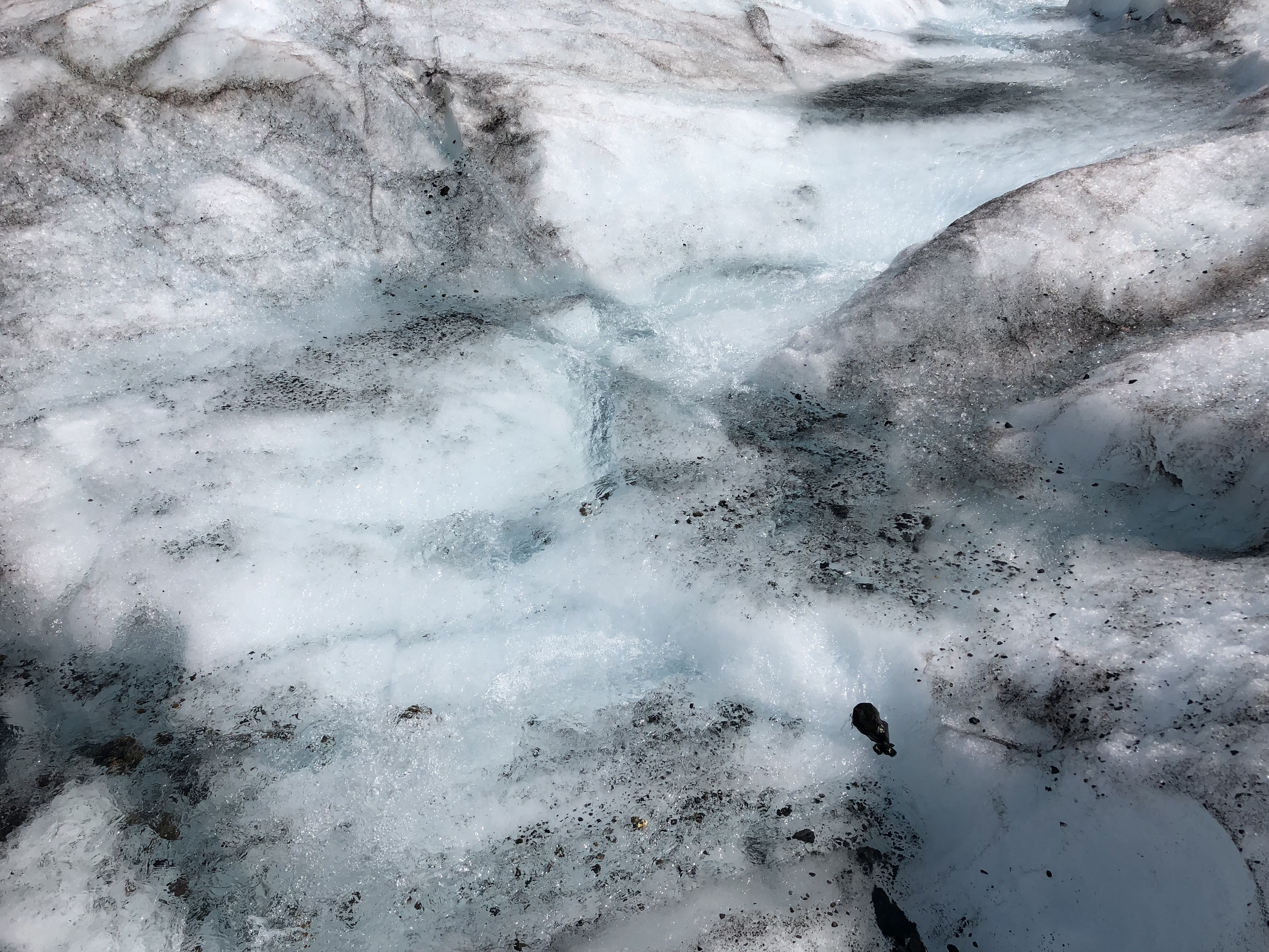
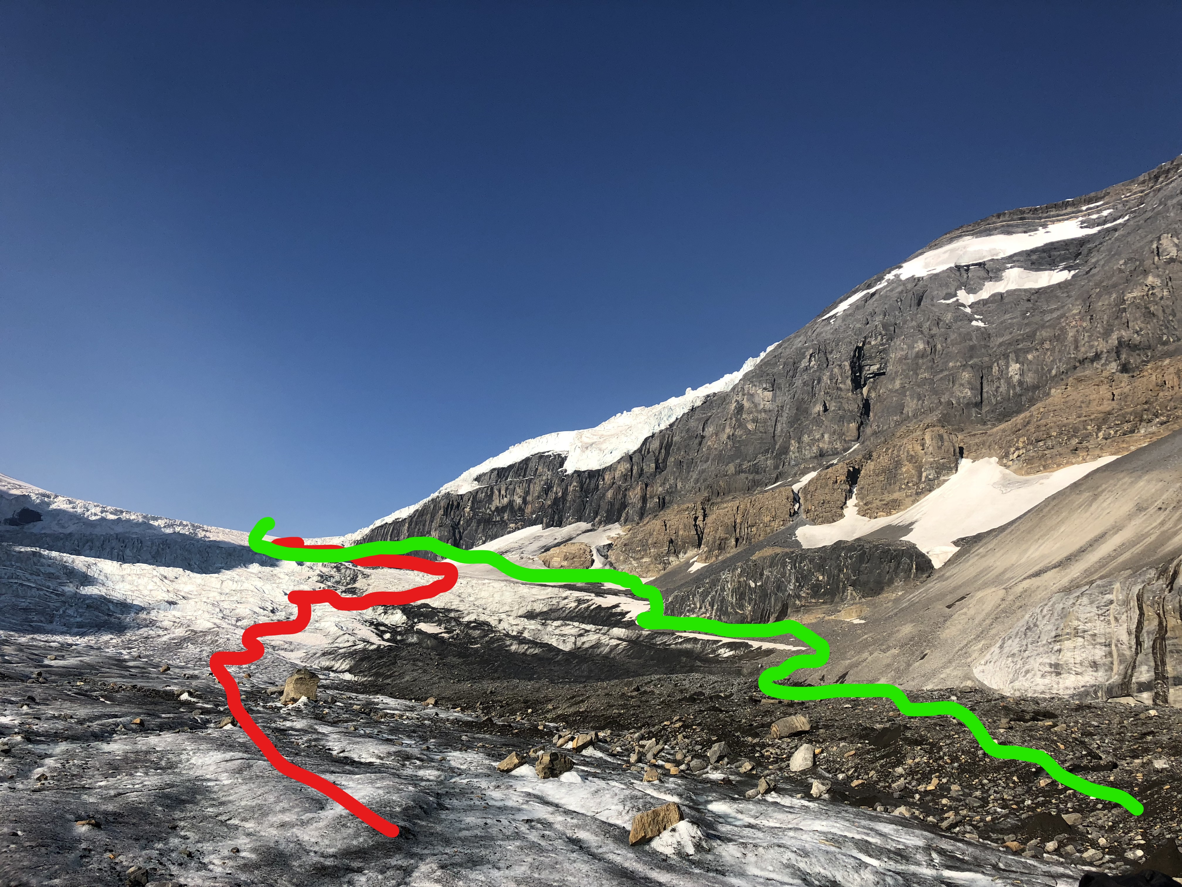
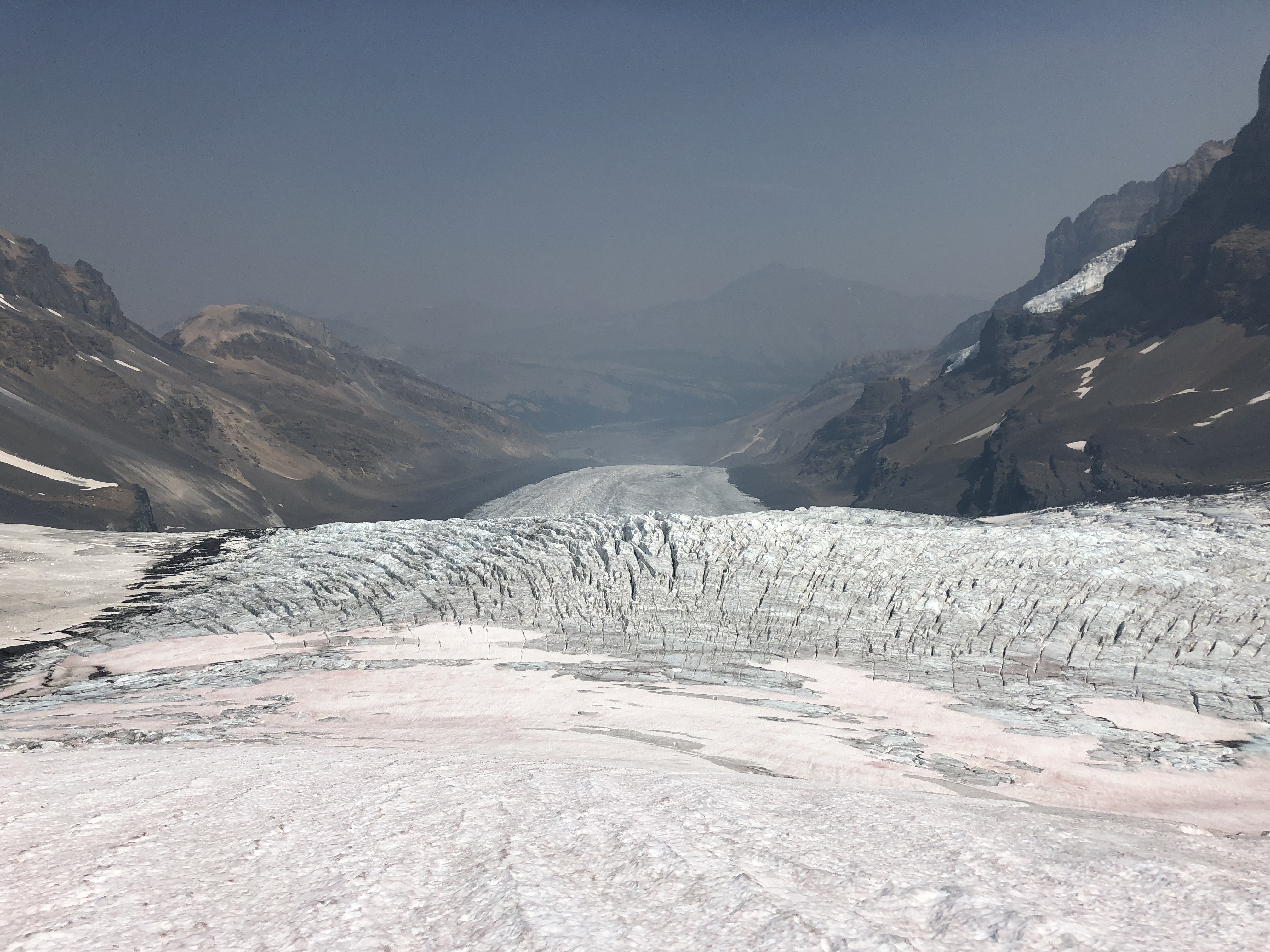
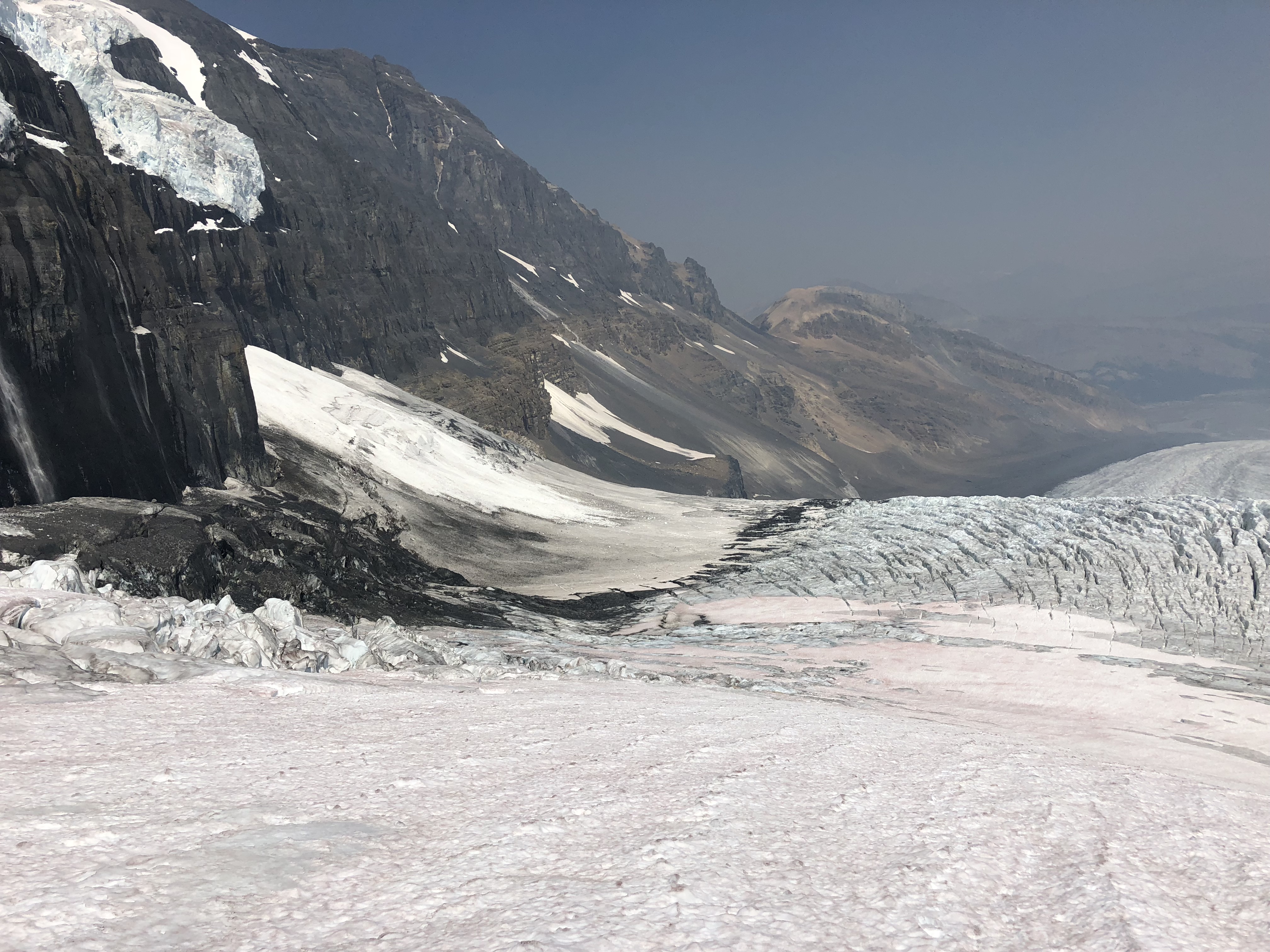
Initially we opted to find a way up through the middle of the lower Ice Fall. This was pretty intense for us, no snow coverage aided in spotting crevasses but also meant an icy route. Our crampons and axes got a lot of use that morning! On a positive note, we were able to practice a few techniques on the ice both with the gear and ropes. For the return we avoided as much of the glacier as possible by sticking to the moraine.
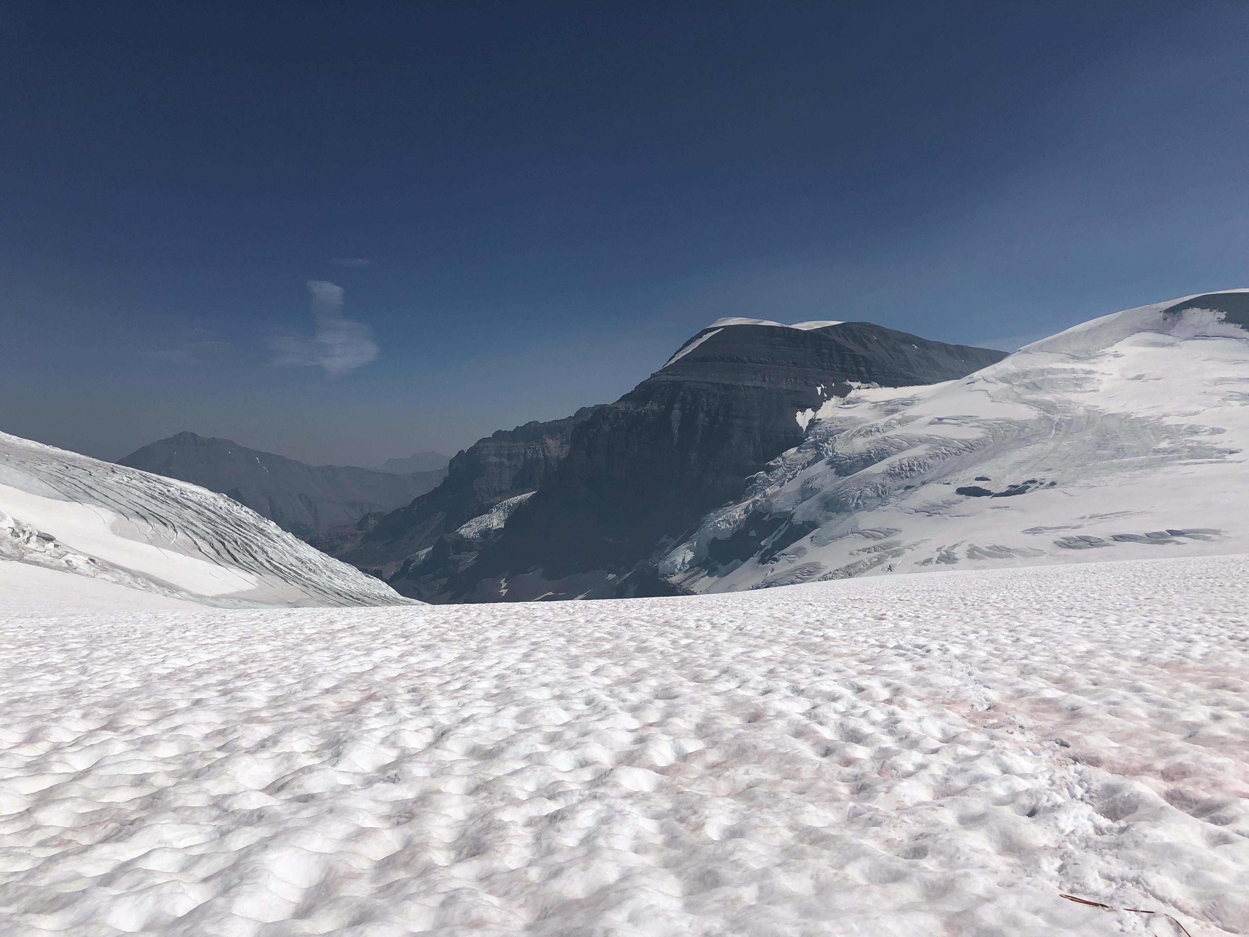
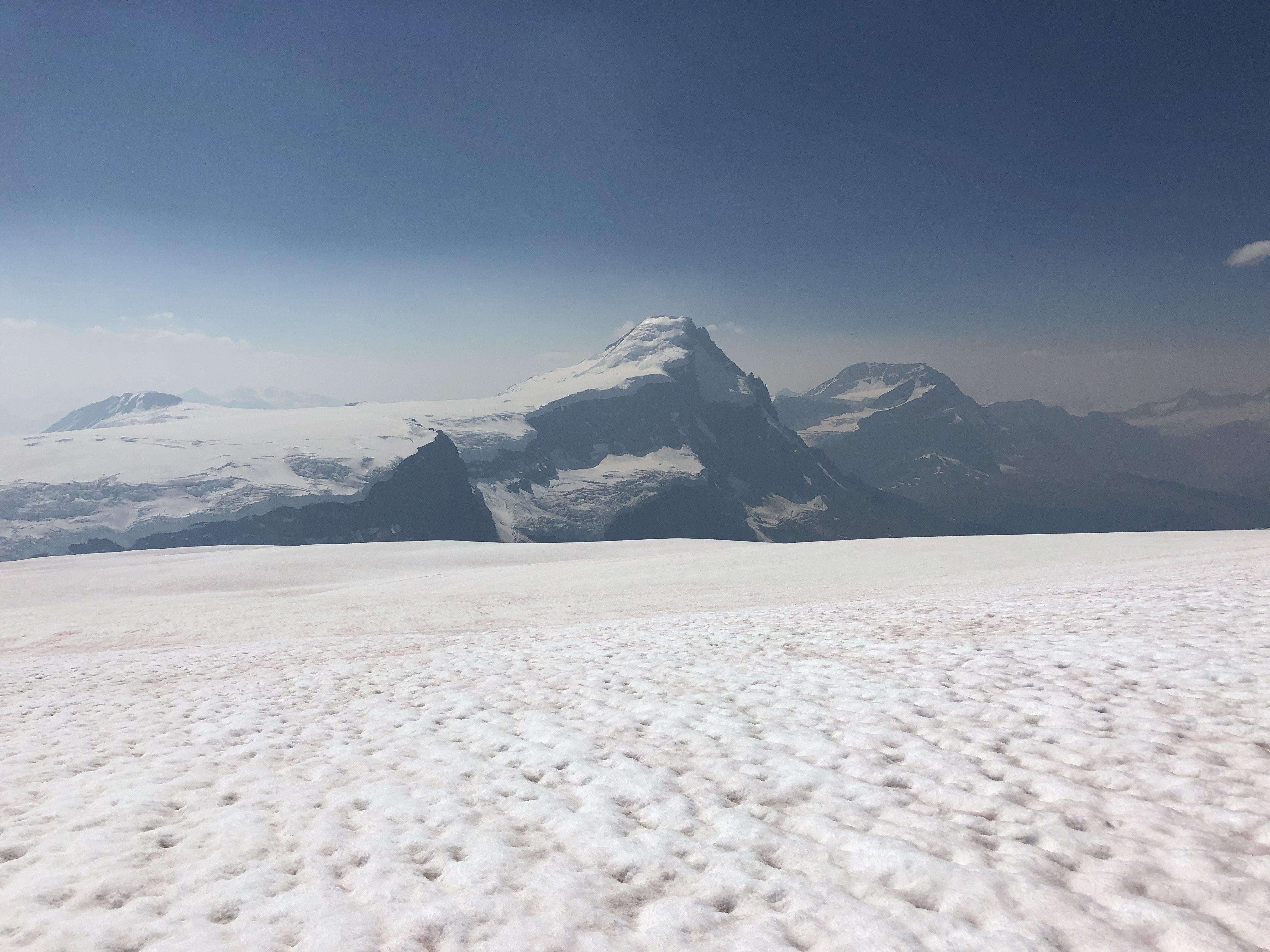
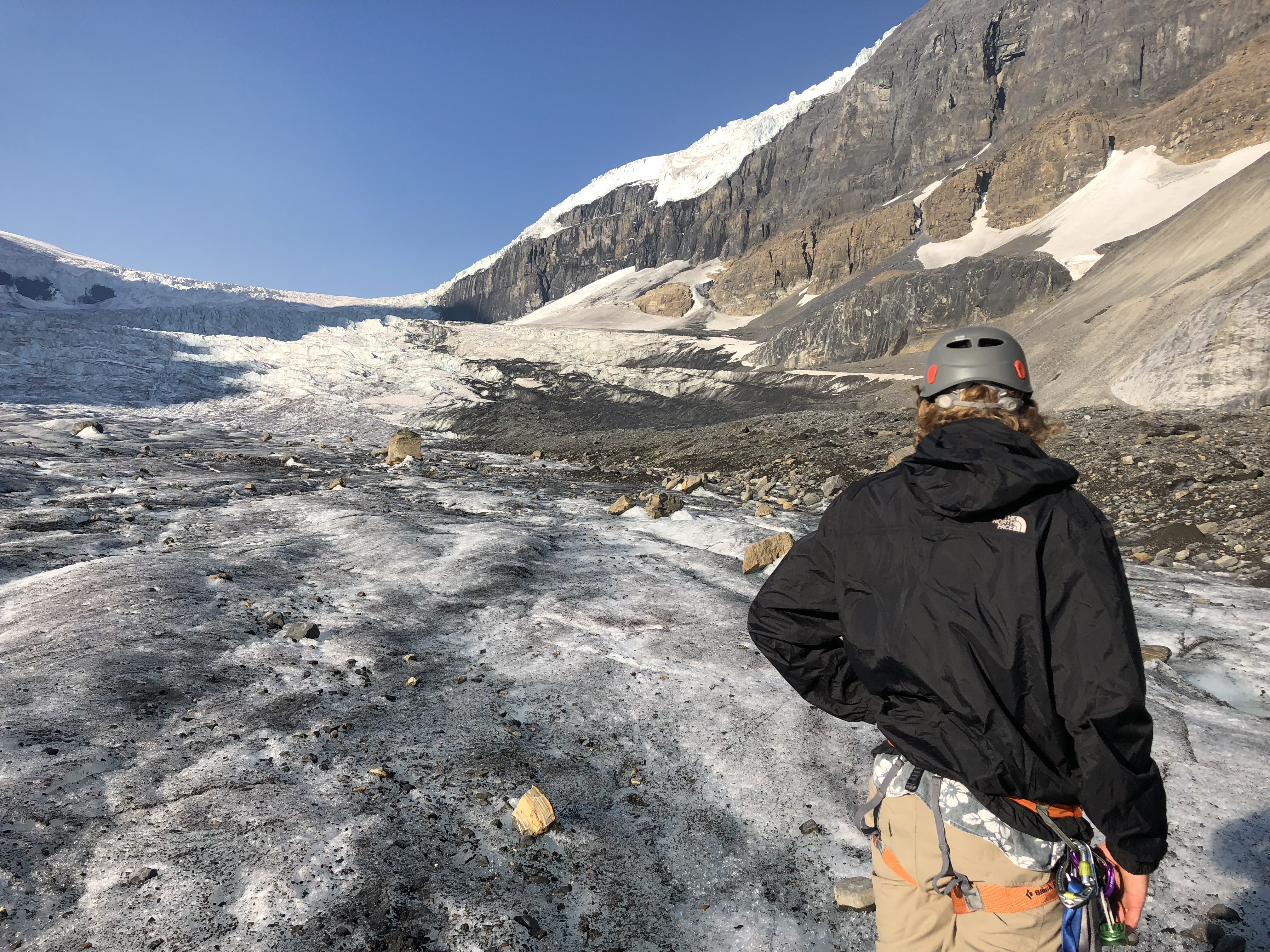
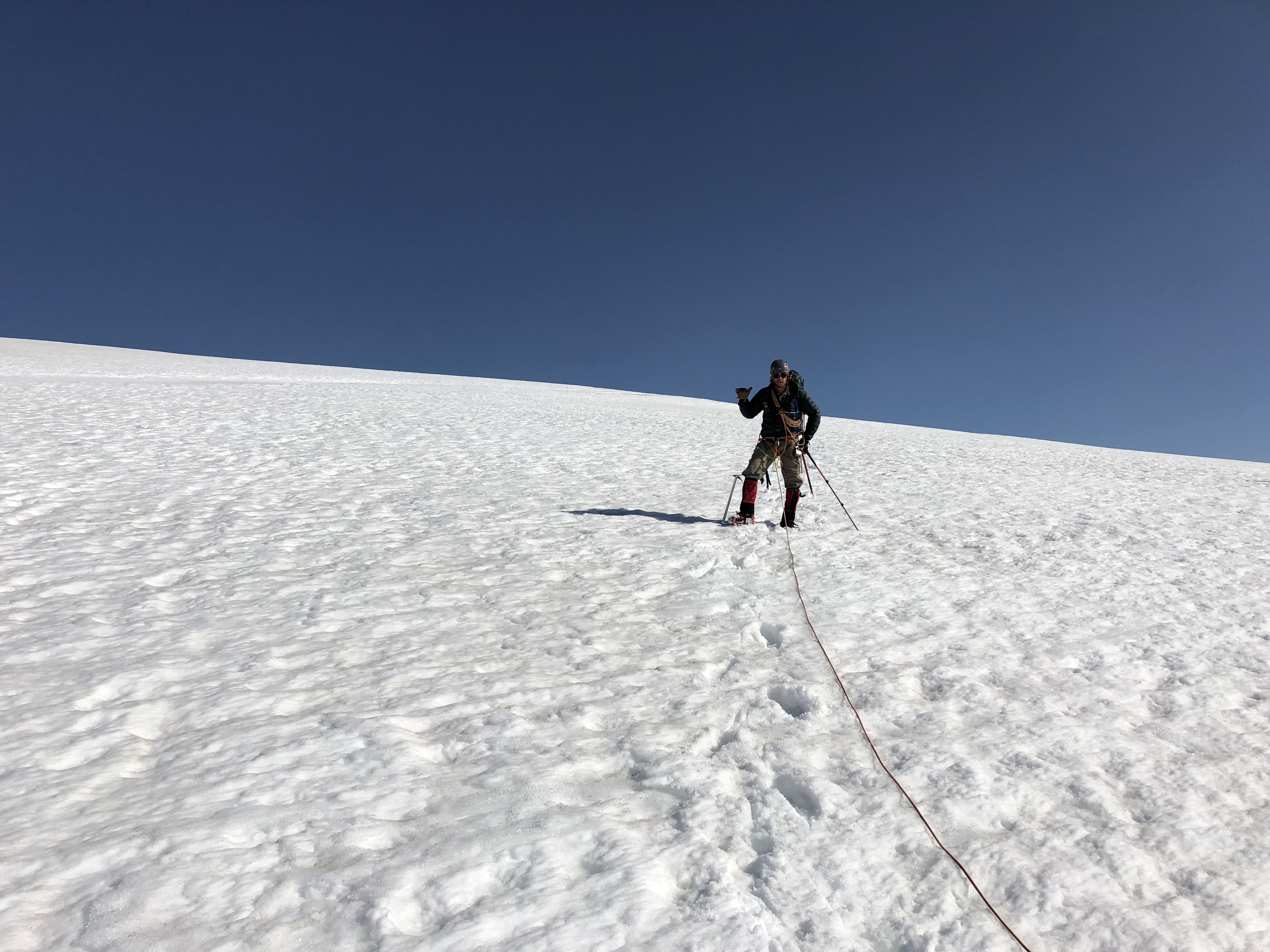
Given our late start and slow progress we opted early for Plan B and decided to go for Mt Kitchener via Snow Dome. It took us nearly the full day to climb up and over Snow Dome, and by the time we entered the col between Snow Dome and Kitchener it was already sunset. We opted to set up camp and set out for Mt Kitchener first thing.
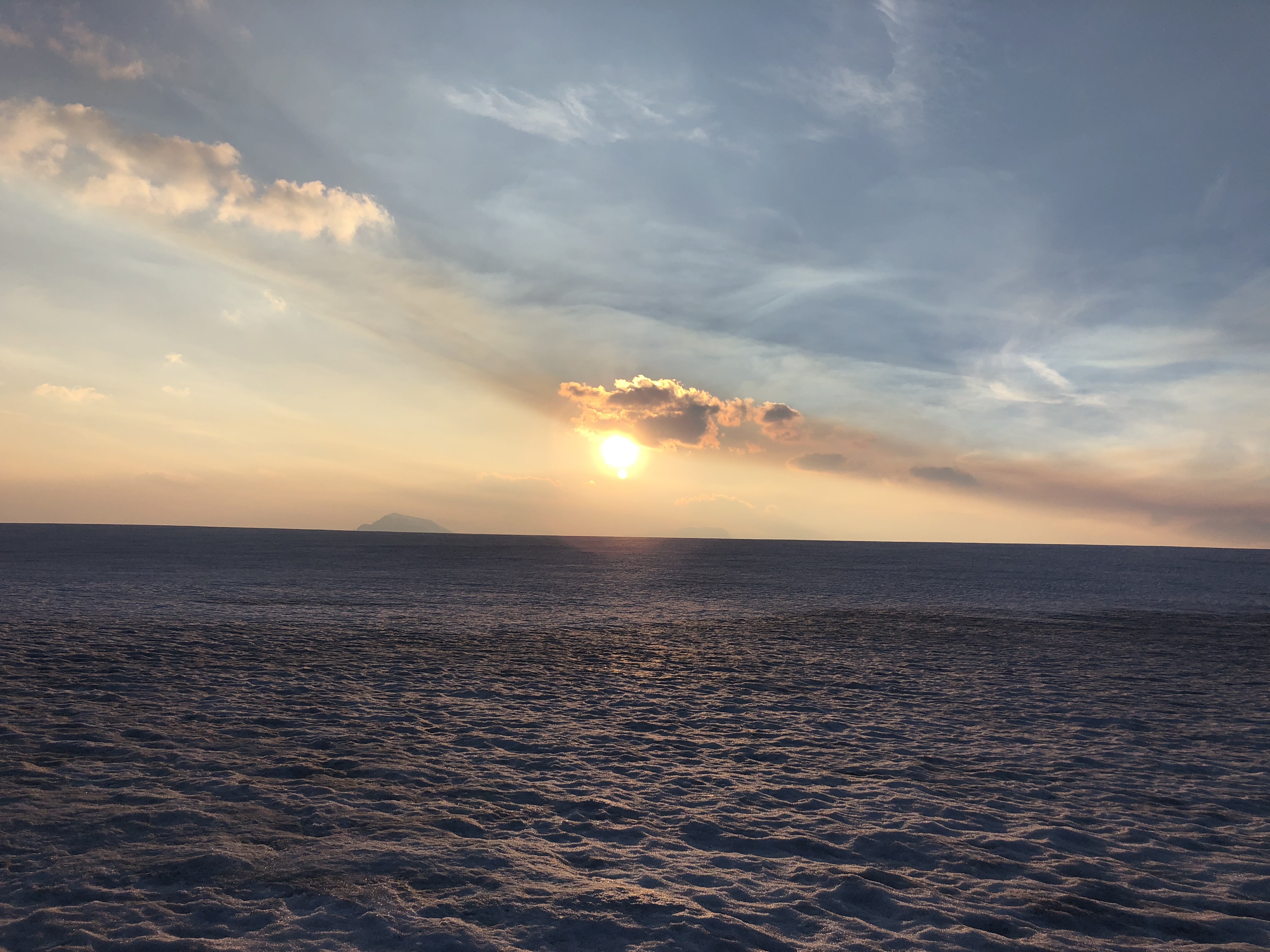
Despite the clear skies and beautiful sunset it proved to be a rough night. We had to hammer down the tent with our ice axes and hiking poles. While warm inside, the winds howled all night at sustained 30km/h. Neither of us slept much and were pretty sore that next morning. Scott had pulled something in his groin, so we opted to bail on any attempts on Mt Kitchener.
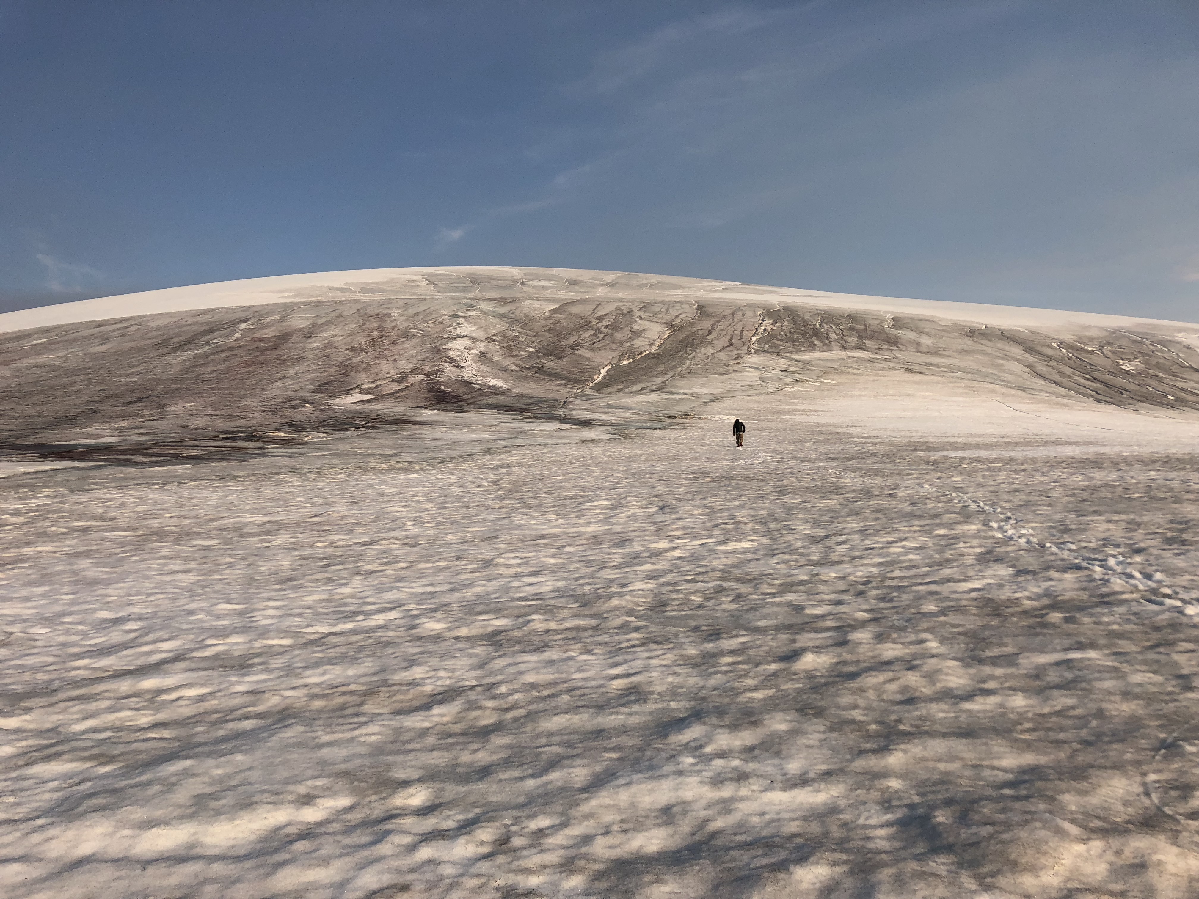
For the return, we decided to go up and back down Snow Dome. One this was to ensure that we had actually “topped” out and second to cut down on time. The previous day, we had wrapped around most of Snow Dome’s base in our vein attempt to reach the North Twin. This up and down business was meant to be more direct. Which it was – the trade off however was a labyrinth of crevasses. I managed to fall into one while probing a snow bridge. Luckily it was a partial fall & we had been dry training rescue scenarios the previous few days leading up the trip – Scott was able to set anchors and I able to ice climb out in under 4 minutes from falling in.
While that was the only real incident of the trip, we were both pretty cautious moving forward. It had been stinking hot at ground level those two days and as a result all the crevasses were wide open on the descent back to the Athabasca Glacier. Lots of belaying and lots of nerve-wracking ice bridges on the way out!
Fortunately for us – these Ice Fall areas are well traveled. From the entries in the self-registration log in the parking lot we could see that several parties had been recently up here; and at least one party making an attempt at Mt Columbia while we were at Snow Dome. On our way through the ramp between the two Ice Fall zones we eventually came across our foot prints from the previous day.
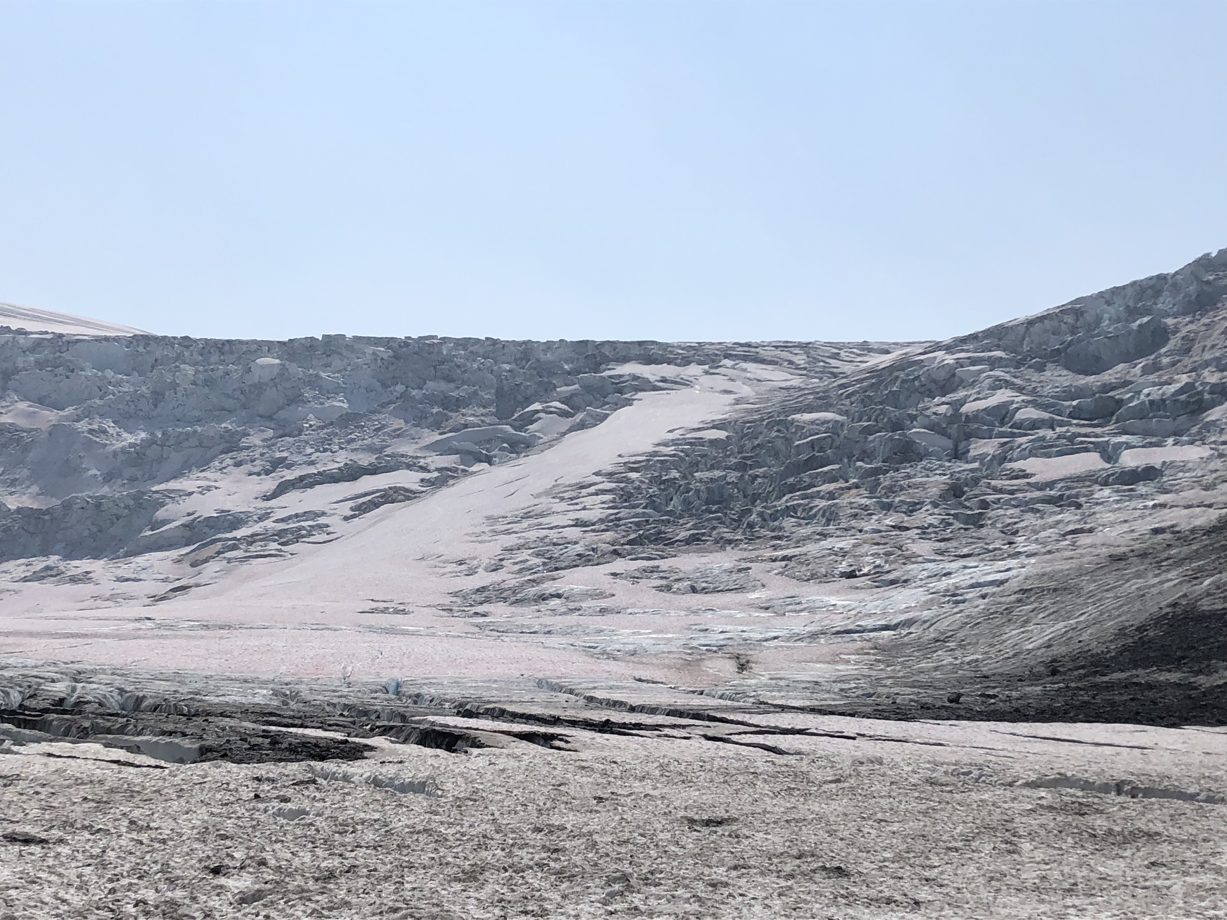
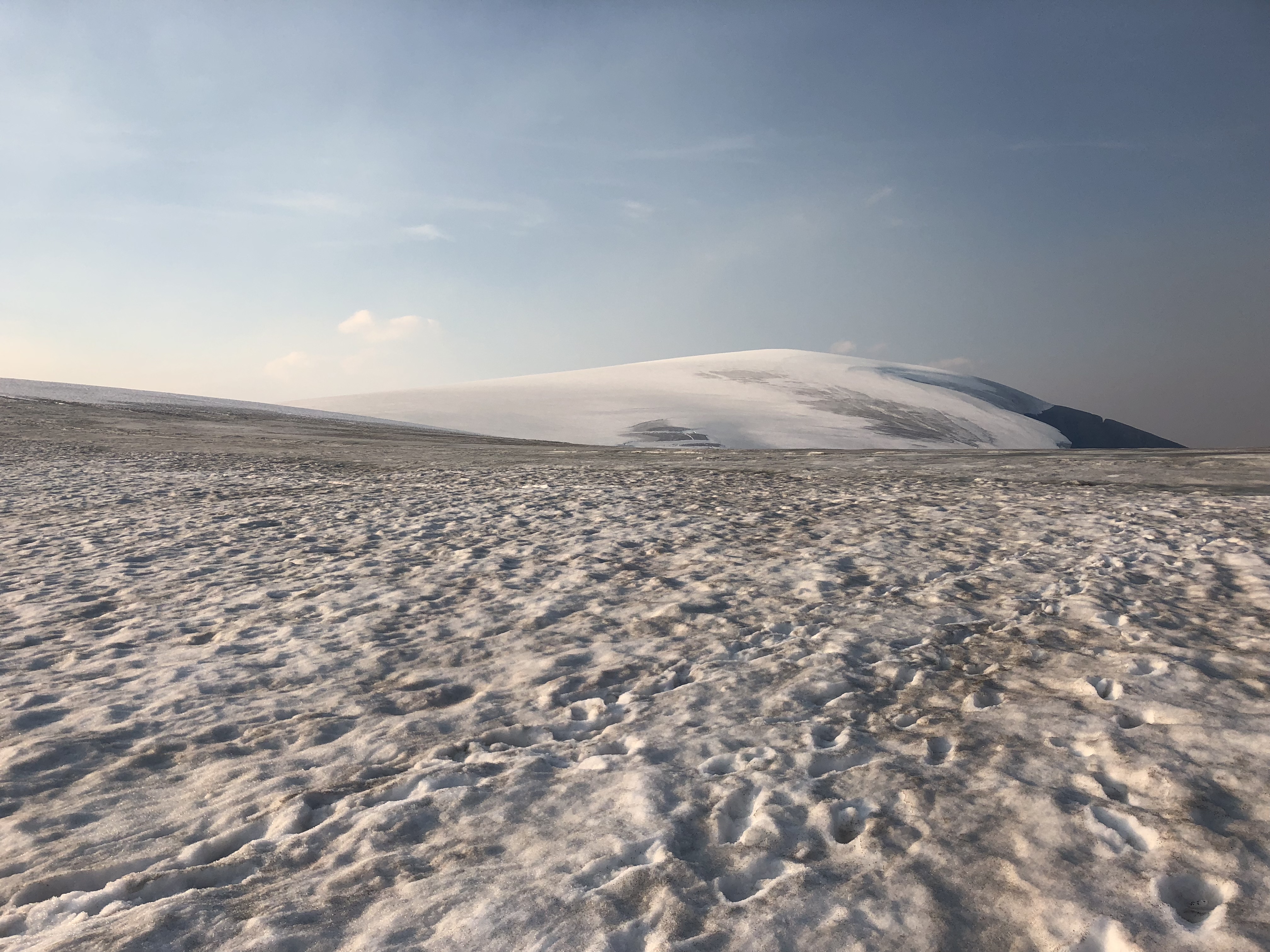
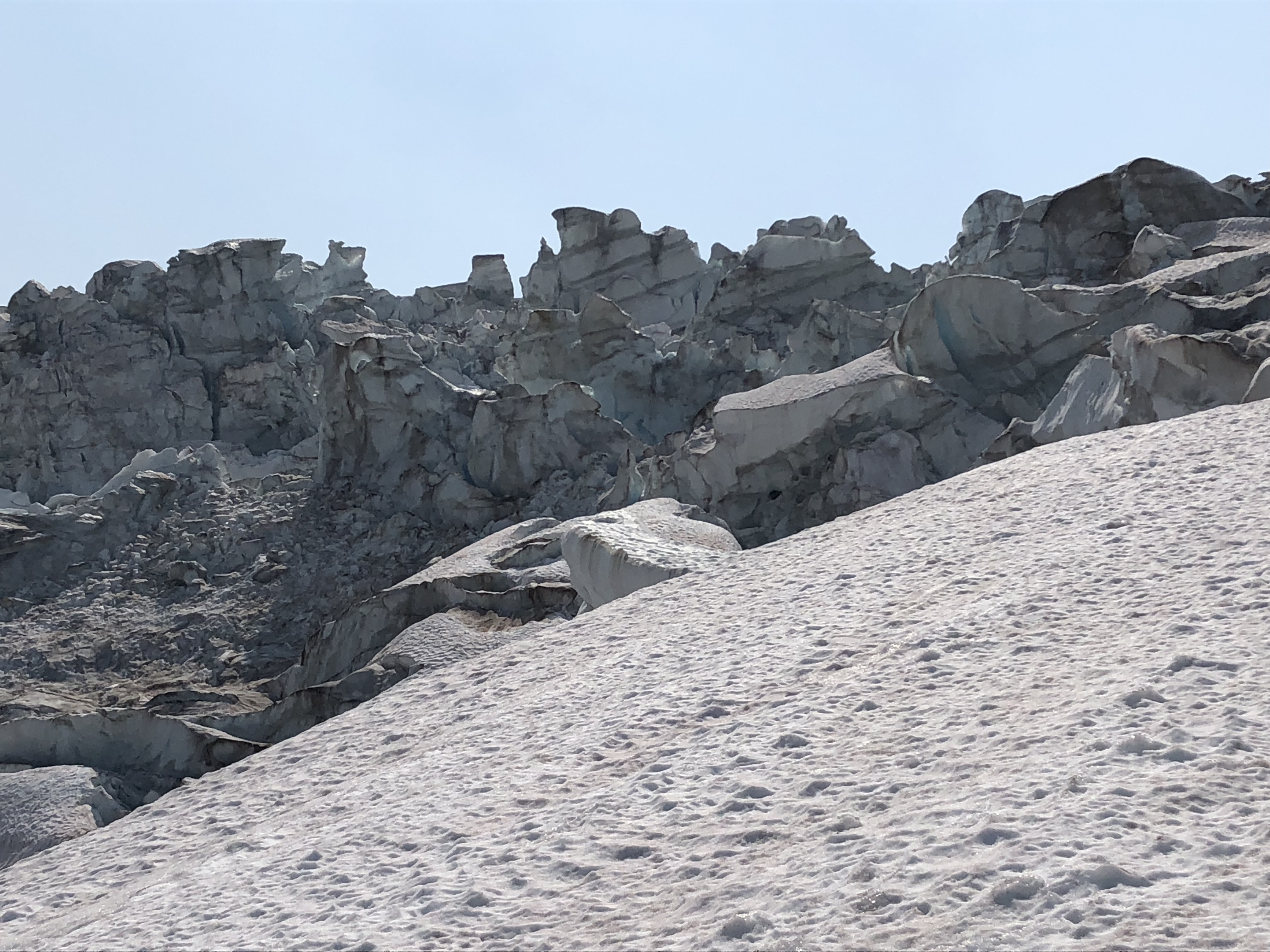
As Scott put it, there were a lot of “people eater” sized crevasses. Many of the snow bridges were too thin to attempt crossing. Several times we found ourselves crossing ice bridges that were thinner than the crevasses on either side. This scared us off the ice after the first ice-fall zone onto the moraine. We followed the dark scree moraine most of the way back before switching onto the ice again towards the toe of the glacier.
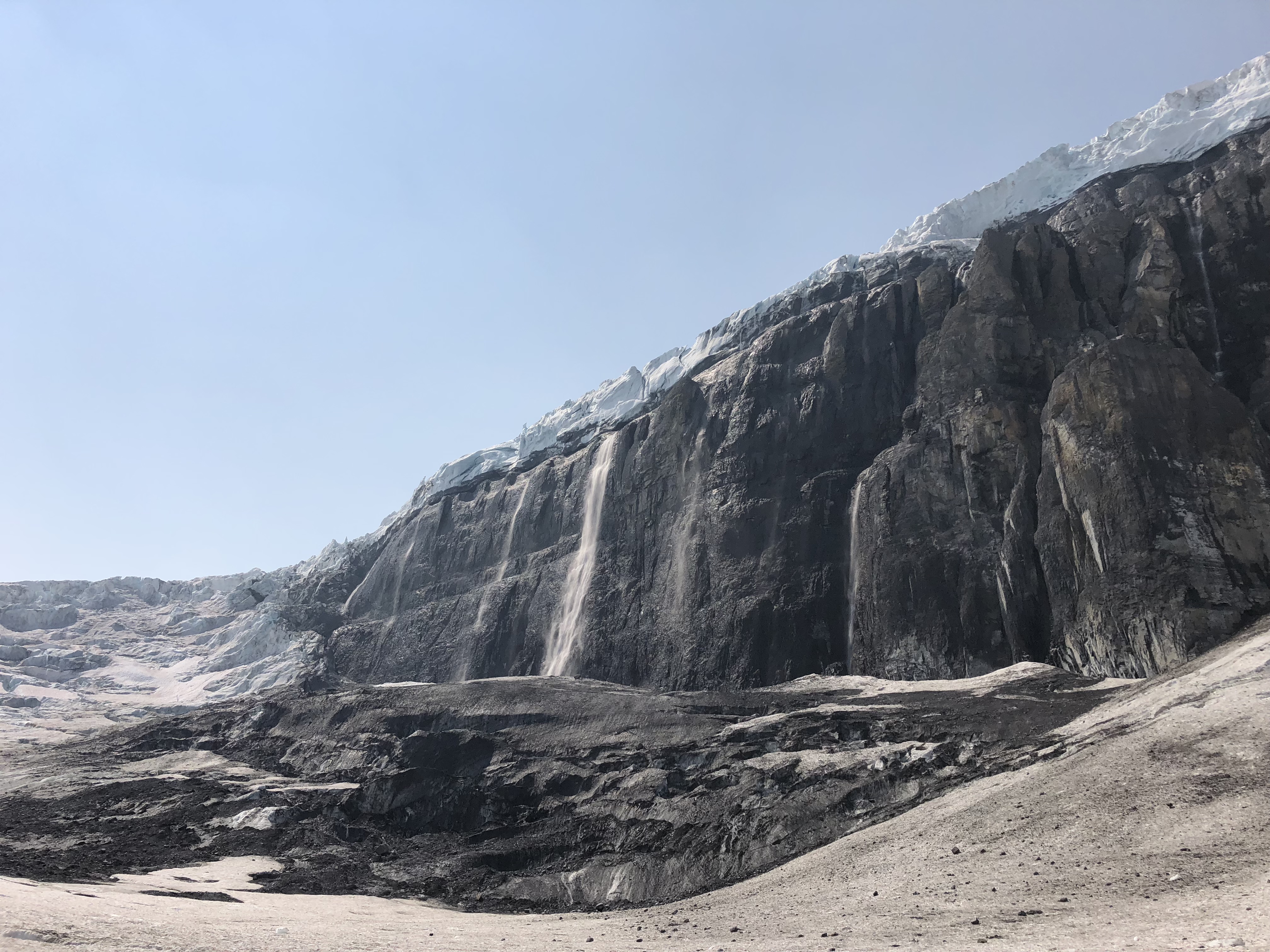
The moraine kept us off from the main glacier and its many crevasses but came with its own risks. There was ice fall, rock fall and a water fall all coming down from Snow Dome. While we passed under with no incident there was plenty of large sized debris laying all around under the falls indicating the level of potential danger.
Once back onto the Toe of the Athabasca it was a straight forward home push. We un-roped once back to the glacier tour area but kept the crampons on and an ice axe in hand. There was an alarming number of tourists exploring the ice in running shoes on our way out. An exhausting outing with a few learning curves but what an awesome experience being up on the Columbia Icefield!