
July 26th 2026. Kootenay/Banff National Park.
Round Trip: 9.5 Hours, Elevation Gain: 1500m
Easy Scramble but rugged approach via Kane Route (West Bowl)
This was Bri and I’s first big outing since returning from our Yukon Trip the previous week and unfortunately for us wildfire smoke season had ramped up that week. While visibility was decent in Kootenay, we could taste the smoke in the air the whole day. Storm Mountain re-appeared on our radar after our earlier trip to Gibbon Pass Peak via Vista Lake, where a good portion of the trail skirts under the northeast side of Storm. Scott and I had briefly tried for Storm in 2018 but failed to find a safe creek crossing due to unusually high water levels and instead ended up doing Mt Lawrence Grassi in Canmore that day. Cautious of encountering that same issue again, we did more homework this time around and read up on a few blogs. Steven Song’s ended up being the most helpful in regards to crossing the creek, not far from the “Welcome to BC” sign.
Before I dive into specifics, I will start by saying that this classic from Kane’s Scrambles might be my least favourite route yet from that book and I regret not heeding a friend’s advice to take the more technical NE Ridge (4th class). While technically speaking this is an easy scramble via the west bowl, the approach was far more rugged than expected and the plod up was honestly kind of boring. Hiking poles are a must for this one. With all of that said, Storm does boast quite an incredible summit pano and there was some sense of achievement in ticking this iconic landmark off the list.
Despite reading up on a few suggested parking spots, we ended up parking at the Great Divide loop lot as per Kane’s description in Scrambles. Hiking along the road we were able to scout out a relatively shallow creek crossing, though it ended up being a braided section of the creek resulting in several crossings total. We had a loose idea of where the trail might be but spent a good 15-20 minutes bushwhacking over deadfall before stumbling onto a very faint trace of a trail. And do I mean faint! I’m still not 100% sure if was a game trail that we first took but it did eventually lead us to a somewhat more worn footpath. The deadfall however, did not let up. At least the footpath gave us a better sense of direction as we continued upwards towards treeline.
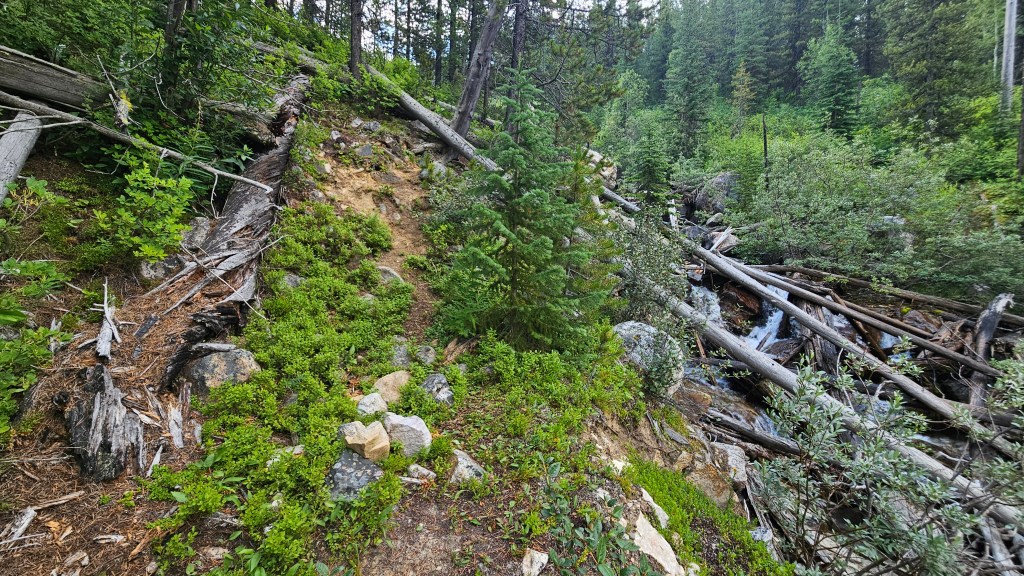
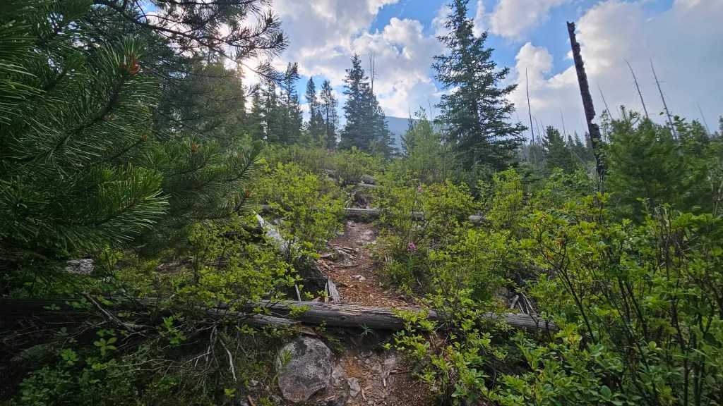
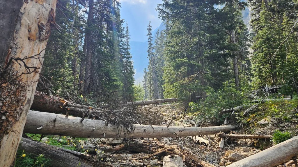
It took us a little more than an hour from the highway for us to break treeline into the base of the west bowl. It certainly felt longer with all the deadfall. Entering the west bowl provided us with our first set of views for the day, including a preview of the remaining ascent route. We took our first real break of the day here to rehydrate and snack. In addition to the smokey air it was both hot and humid within the trees with air temperatures pushing 30C.
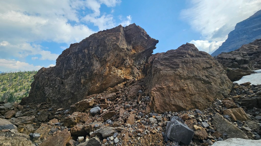
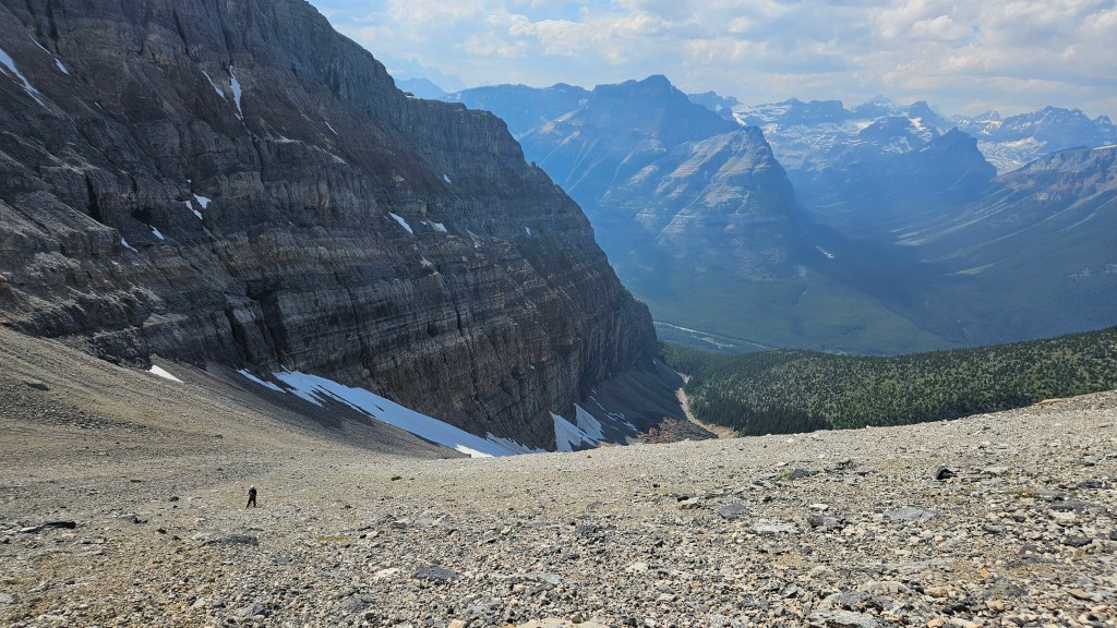
The bowl appeared straight forward enough and up here we could see where other parties had travelled over the rubble. Unlike the forested section, there were now cairns dotted along the way too. While indeed straightforward, there was also considerable foreshortening at play with a couple hours worth of plodding ahead of us. We stuck to the climber’s right for the lower portion of the bowl passing the house-sized quartzite boulders mentioned in scrambles. In staying to the climber’s right we were also able to take advantage of the lingering snow patches which reduced the rubble bashing, a little.
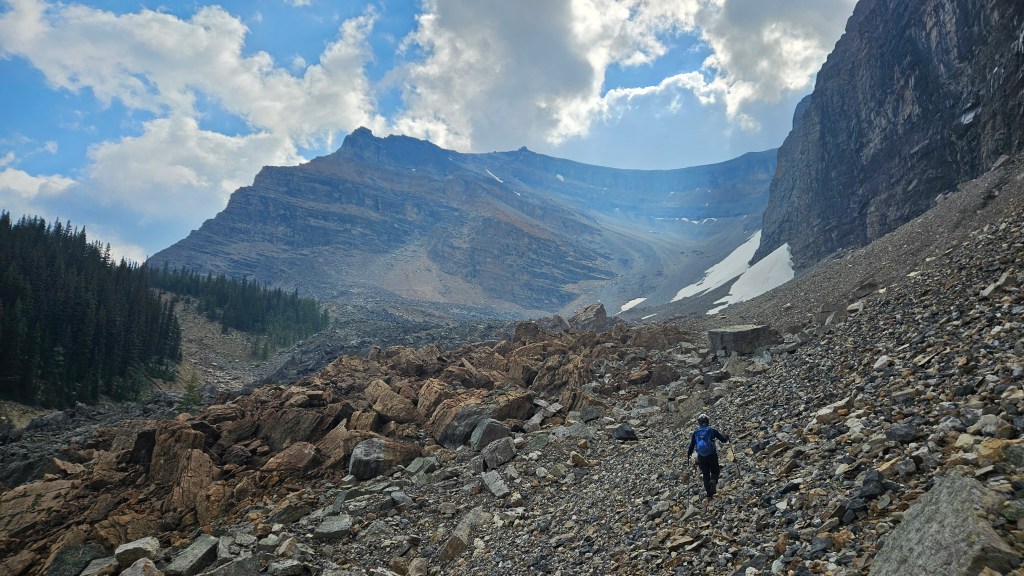
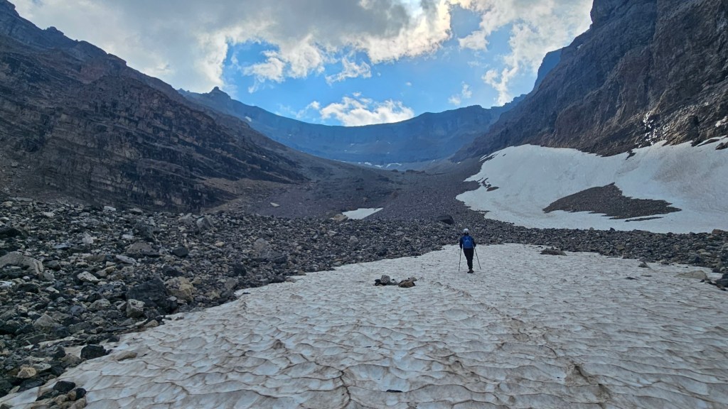
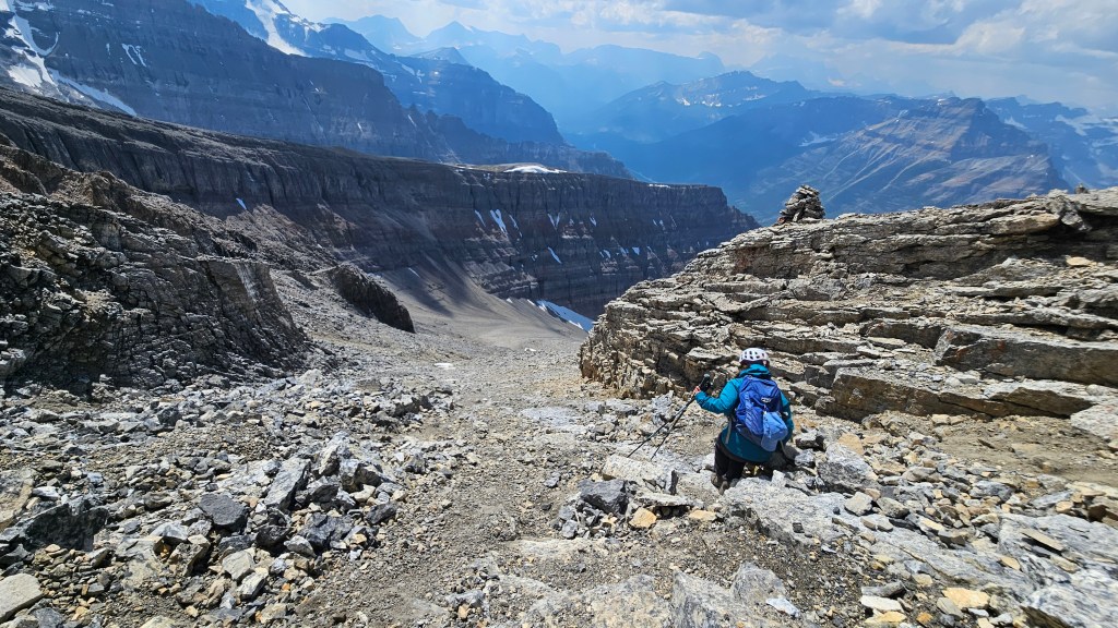
An hour of plodding up the bowl and the terrain naturally turns to the climber’s left, the rubble ramp continuing upwards through down-sloped slabs and broken cliff bands. We found the scrambling remained at a fairly non-technical level (I don’t think we once had to use our hands) though we were both very thankful for bringing our hiking holes on this one. Heading up this upper section of the bowl the gradient steepened and we could feel the temperature was getting brisk despite it being mid summer. Towards the summit ridge the rubble got larger and the terrain more broken, making this last push up almost feel like a scramble.
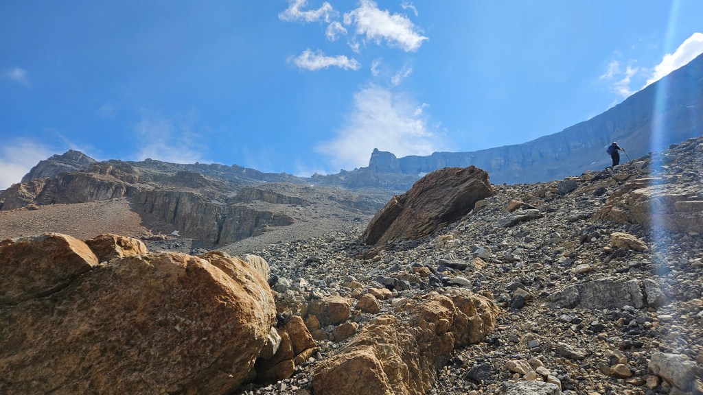
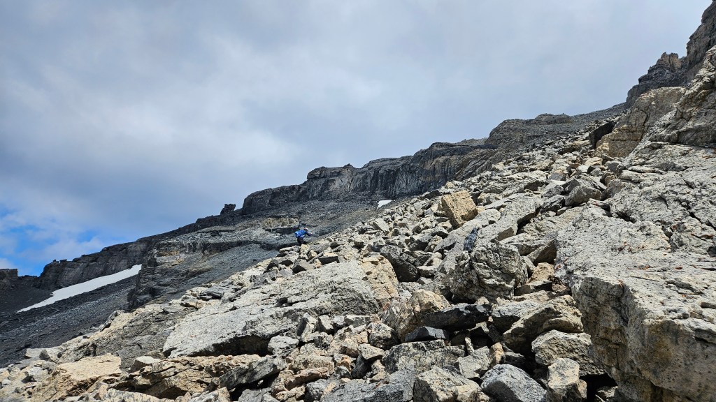
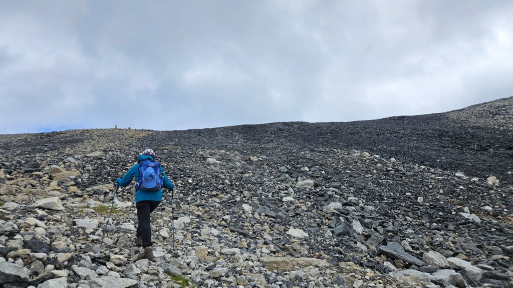
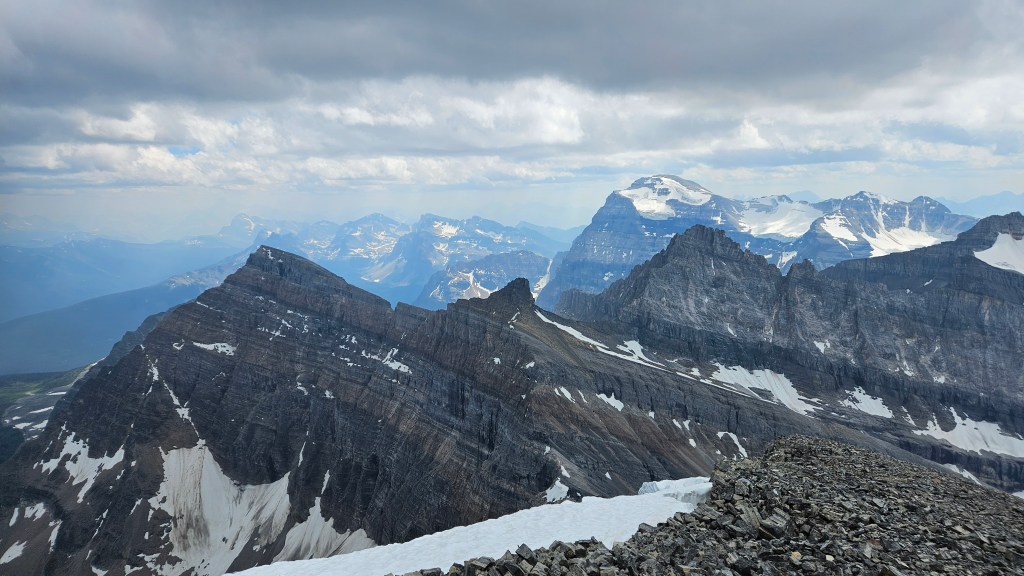
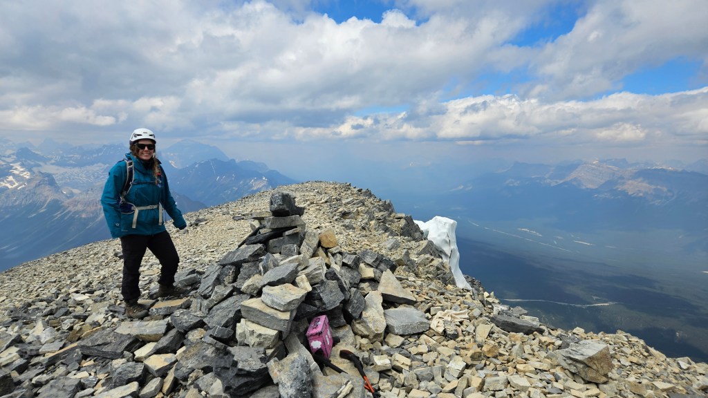
We thought we had peaked once up on the connecting ridge but double checking the map could see we had a little ways to go. It was quite cold now so we bundled up for the remaining ridge walk. And it truly was a walk at this point with most of the elevation gain achieved in the bowl. The views were decent given the hazy partly-overcast skies. Roughly half an hour later we arrived at the summit cairn & register. We signed the register, did the usual video and photos at the top, enjoyed some snacks but after 20 minutes decided it was getting too cold. Bri and I firmly agreed then and there that this route was the “slog of the year” award winner and knew the return journey was going to be a grind. At least the views were nice.
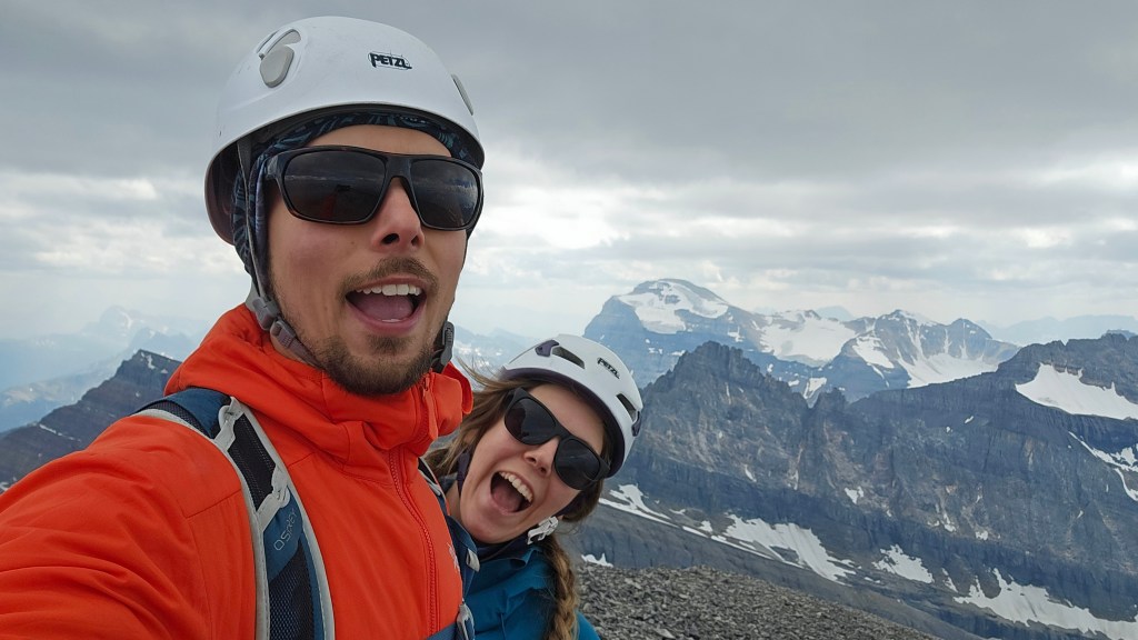
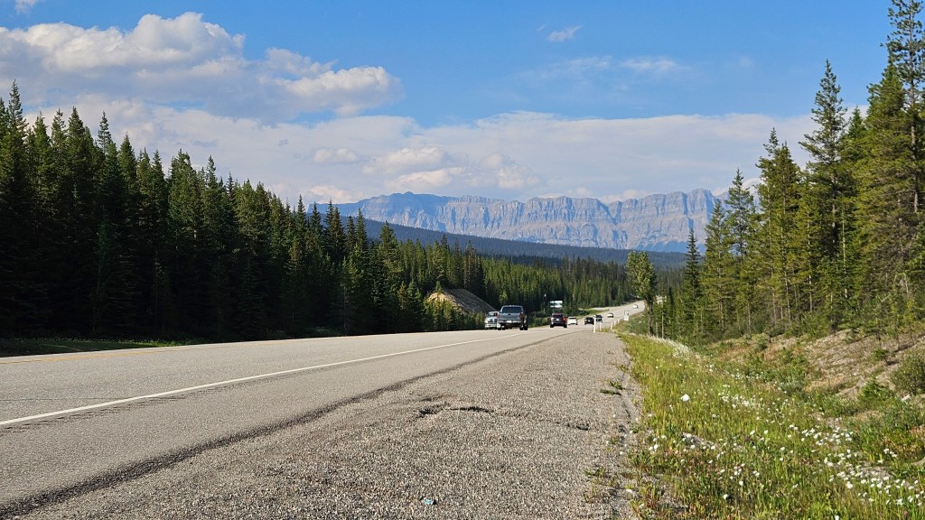
Similar to Crowfoot Mountain, the talus on Storm is the perfect ankle-rolling-knee-jarring crap that isn’t scree-enough to boot slide down nor large enough to effectively boulder hop across. For that very reason, it took us almost the same time to hike down the bowl as it did to hike up. My right knee did not handle the talus well and I recall returning to tree line with a slight limp. The return journey while easier to navigate was still a tedious effort of clambering over dead fall and fighting the odd branch. We could see the highway for a good portion of the way down and decided to follow the footpath for as long as possible before punching through straight to the road. In essence that is what we did, though the trail petered out much earlier than expected. The day ended with a boggy meadow crossing and two sections of bushwhacking through tight trees before re-emerging at the side of the highway.
Concluding thoughts: while acknowledging that the summit views were impressive, neither Bri nor I enjoyed the west bowl. I do not recommend this route and would instead recommend the more technical route via the NE ridge. I’m not super familiar the details but have read you link it from Little Storm or can start from Vista Lake but either way is much more demanding than the west bowl ascent. Having done 24 peaks in 2026, I stand by the comments I made on the summit that day, that Storm Mountain gets the “Slog of the Year” award!
Bonus story: we actually camped at the Marble Canyon front country campground that night, which was great not having to make the long drive back to Golden. We had ambitious plans for Chimper Peak the next day and started on time… though forgot how bad our experience was hiking up Tokumm Creek in 2023 climbing over large deadfall every dozen or so meters. Well let me tell ya, 2026 was even worse! The deadfall had piled up substantially in three years time and the avi slopes thick with alder. Perhaps we were a little jaded from the rugged forest sections from Storm the previous day… an hour of climbing over dead trees and we had enough. We called it probably a kilometer before the ascent route in Nugara’s More Scrambles and unless the trail is one day recommissioned, you couldn’t pay me to return there again.

