September 18th 2026. Squamish, BC.
Round Trip: 11hrs 15m, 20km. Elevation Gain: 1500m
Moderate/Difficult Scramble; 3rd class with good route finding skills
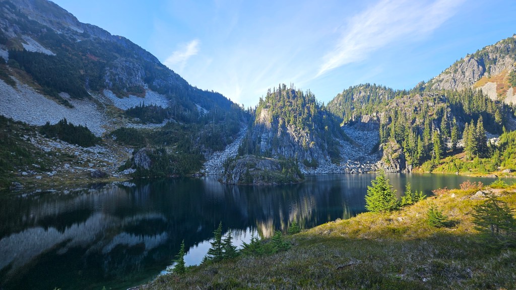
This was a real adventure and arguably the highlight of our five days in Squamish this past September. Potentially one of my favorite scrambles for 2026. Our buddy Will organized this one and we were joined by his friends Daisy and Tara. I admittedly didn’t research this peak, asides from looking at a map, so essentially went in blind. The trailhead requires a lengthy FSR drive along rough branch roads, 4×4 and high clearance strongly recommended. The approach hike involved road walking followed by hiking through a sodden boggy trail. We found out later that most of the bog section is avoidable by gaining the talus slope west of the creek. Tricouni Lakes on their own make the journey worthwhile and the scramble above the third lake is most excellent.
Daisy and Tara picked up Bri and I from the hostel around 5:30am, leaving more or less on time. After grabbing Will and topping up on petrol we drove in the dark towards the Squamish River FSR. It was a lengthy drive but not too rough. The branch road up to the trailhead was another story. It was rough! We had to hop out of Daisy’s RAV4 on several occasions to help improve the vehicle’s clearance, and had to clear a few large boulders off the road. Not the worst road I’ve travelled but I can’t imagine a vehicle without 4×4 making it all the way up. Daisy did an incredible job driving! We made it to the wash-out by 7:30am and started our hike soon after. I was breaking in a new pair of Salewas on this adventure after officially binning my Renegades after the Diamond Head hike two days earlier.
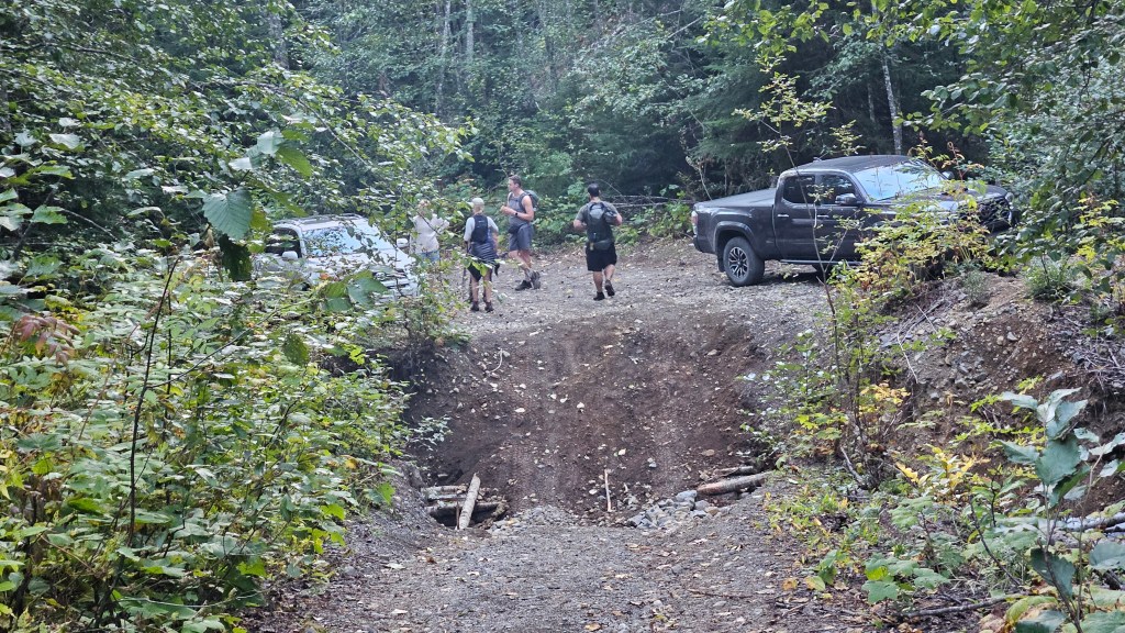
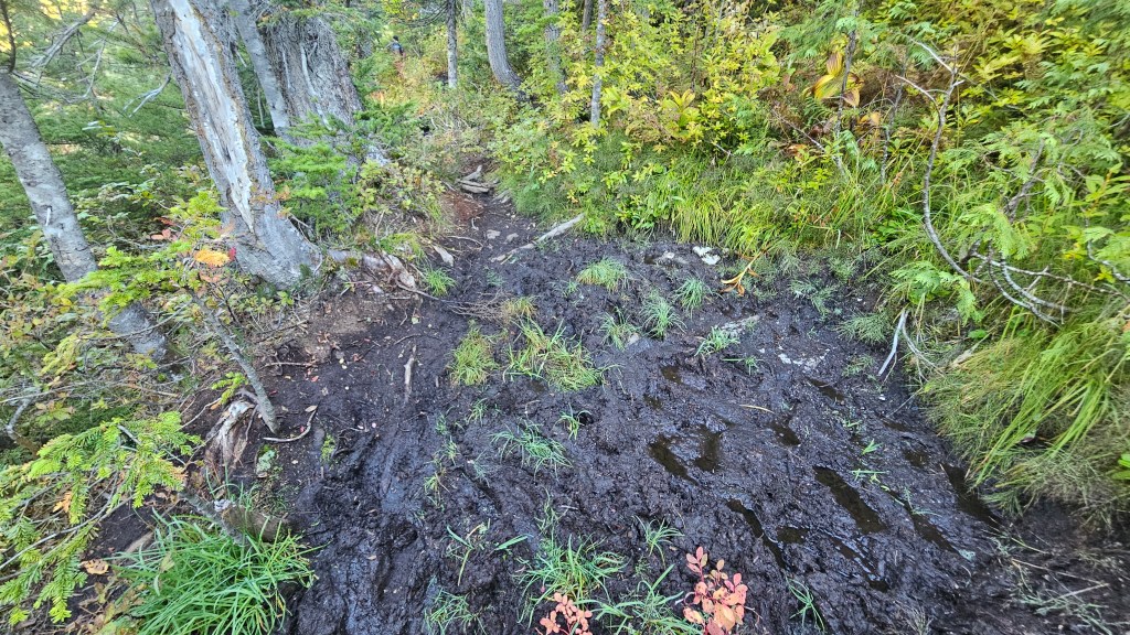
The first hour was spent hiking up the remainder of the branch road, as there wasn’t a hope in hell that the RAV4 would clear the water bar/washout where we parked. Only a super lifted truck or jeep could clear said spot, and in fact one did during our hike out. Once we reached the old parking lot at the end of the branch road, a cairn indicated the start of the actual hiking trail. Into the trees! Almost right away our idealistic forest walk deteriorated into a soupy mess of stagnant mud. It was wet and that mud was deep. “Welcome to the SW Coast” laughed Will. Like us, he had no idea that the next hour worth of “trail” would be such a soggy mess. I managed to avoid getting my new boots totally covered, though nearly lost my hiking poles more than once. Others were less fortunate and wound up with wet feet straight away. The worst sections were avoidable via bushwhacking but this didn’t save time, and often proved wetter than the trail itself.
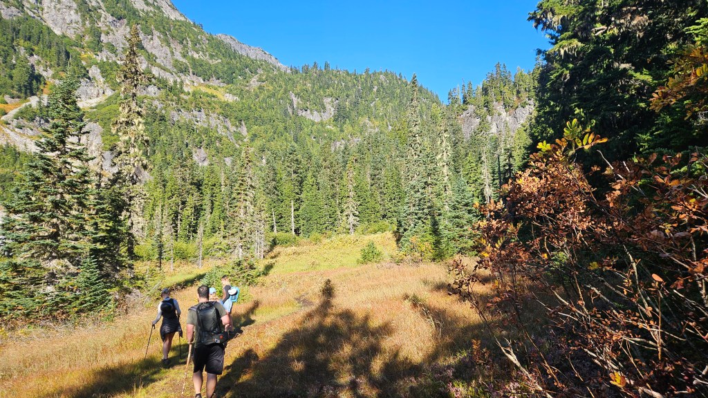
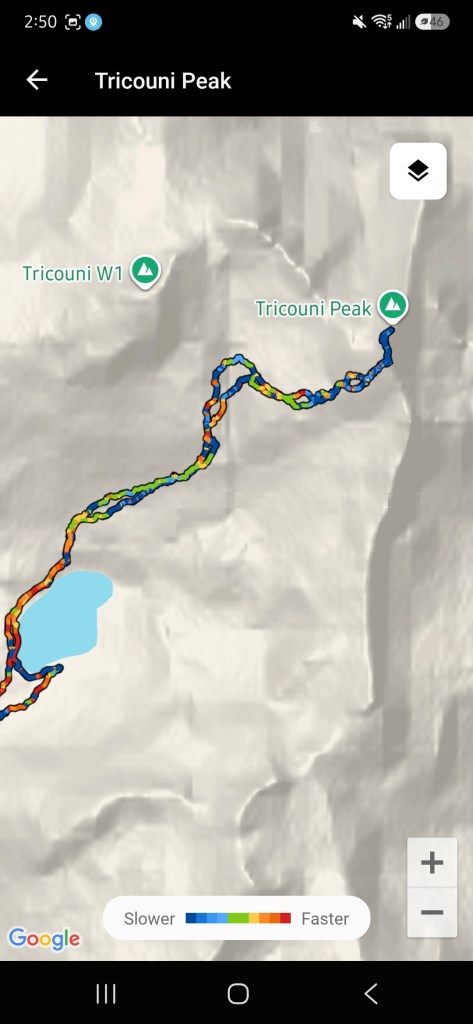
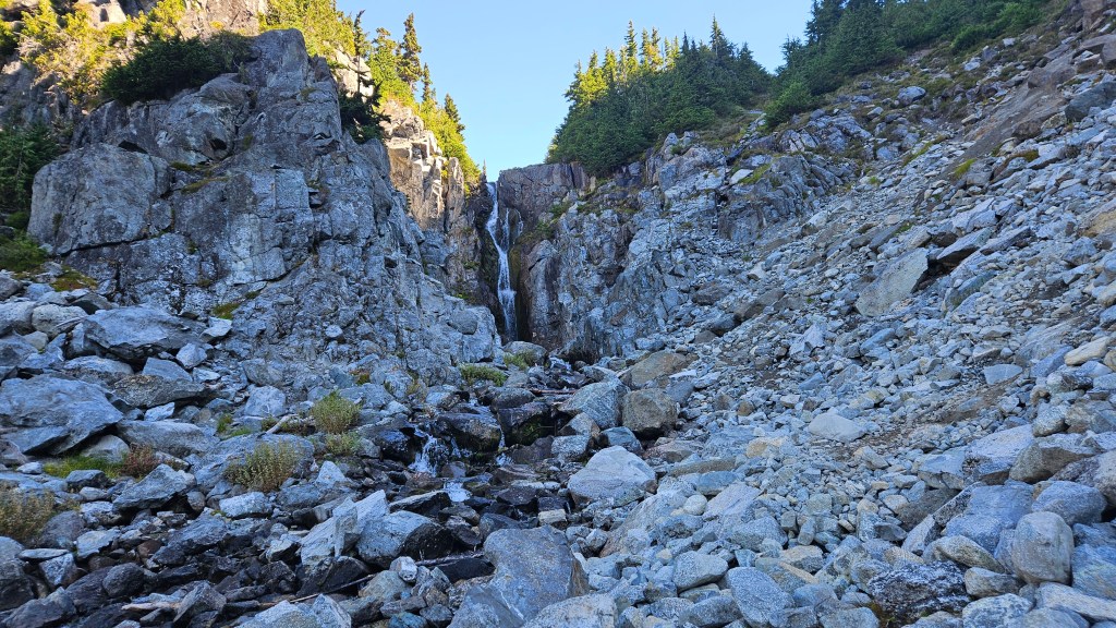
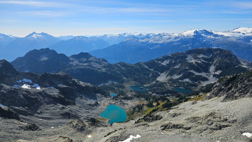
Along the way, a sixth member of our party caught up to us near the creek. He had, apparently, drove up the wrong branch road leading him to an old mine. There was a trailhead there too, as it led him to where we had parked and he managed to catch up with us as we neared the north end of this mud-forsaken valley. We were all very relieved when the back of the valley begun to rise and the trail gradually more rocky, thus dry! The trail was much easier to follow now, leading us up to Pendant Lake, the first of three lakes on route to the peak. We took a long snack break here before continuing along the trail to Spearpoint Lake. Worth noting that there are back country camp sites at Spearpoint and that this is the end of the obvious trail. Our route led us around the northwest contour of the lake, then followed a drainage on the northeast side past a small waterfall. We scrambled up treed ledges to the climber’s right before getting too close to the falls (steeper ledges), somewhat following cairns. Everyone chose their own adventure before topping out into a large boulder field.
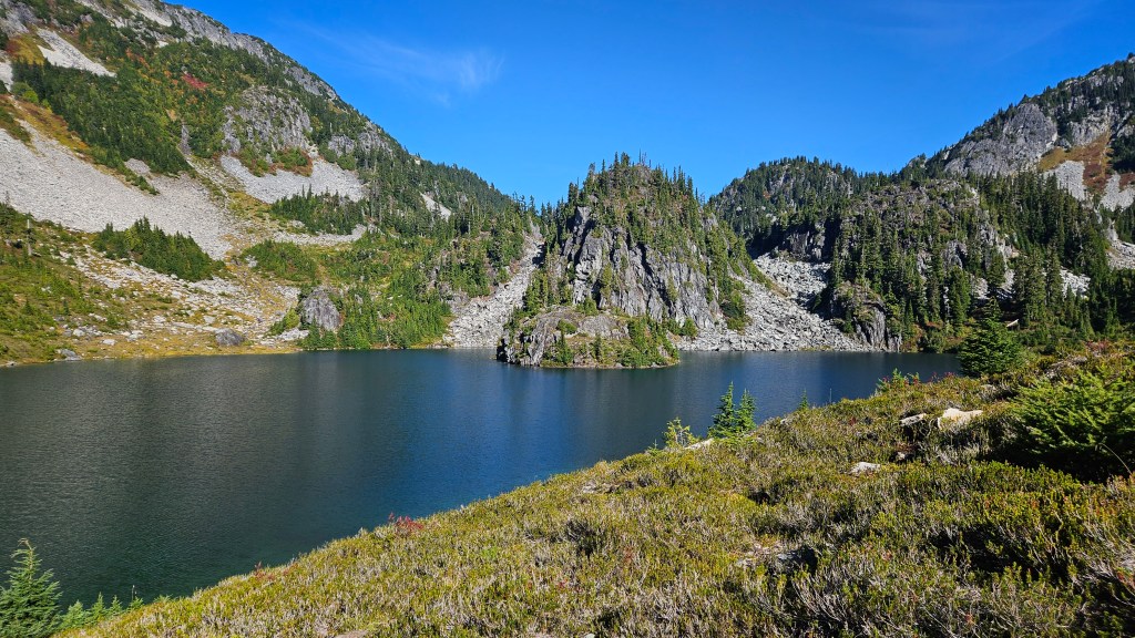
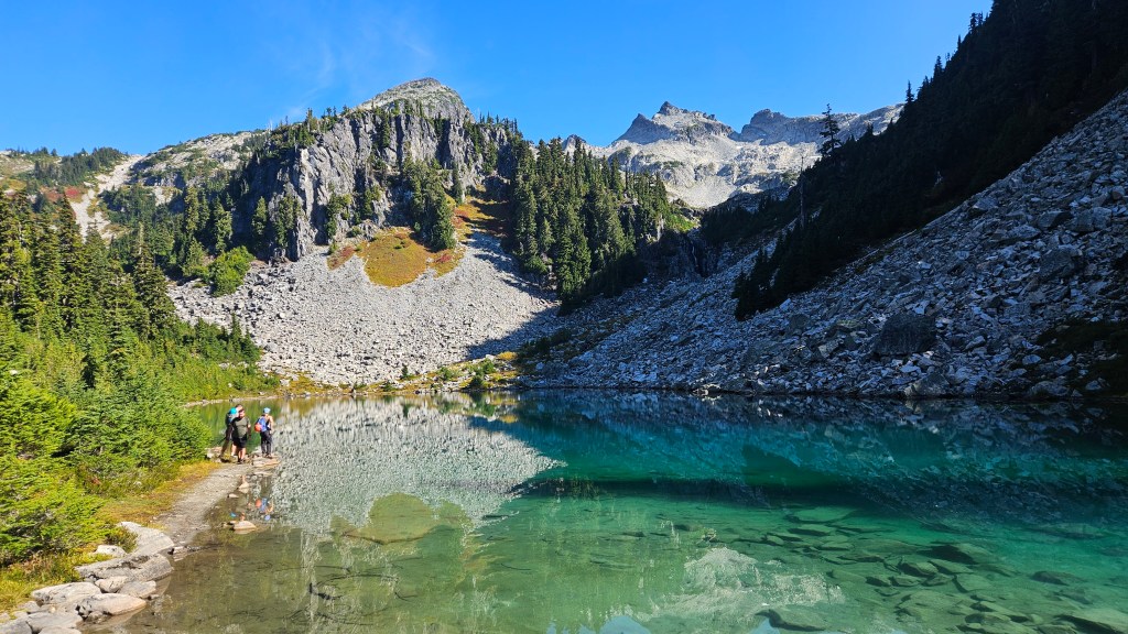
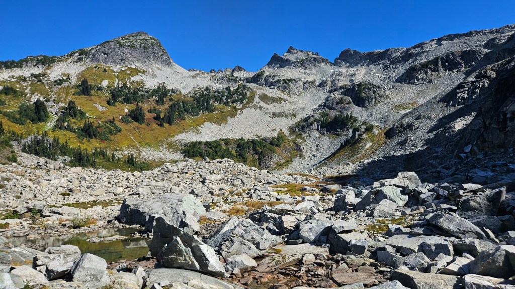
Unaware that our route would wrap around the west side of Pendant Lake, I started trending east assuming we were aiming for a weakness under the south ridge. This resulted in boulder hopping around some fascinating features including a dramatic house-sized boulder. Will reigned us in from our side questing and brought us back to the lake. Similar to Spearpoint, the trail wrapped around the west shoreline before continuing north. Beyond the lake the footpath was easy to spot across the meadowed slope, cutting over the shoulder of an unnamed sub peak before ascending into a bowl and up the west slope of Tricouni.
Our group seemed to lose speed while hiking up this slope, with Will backing out entirely in favour of enjoying some lake time to himself. The rest of the group was keen to continue, though took well over an hour to ascend the shoulder. It was a relentlessly steep hike up but not yet a scramble. We had a serious discussion on the shoulder whether to continue or not, and that moving forward we couldn’t afford to keep taking frequent breaks, as it was already 1:15pm. We could now see most of the route up the west ledges linking to the summit ridge and could see things were about to get hands-on.
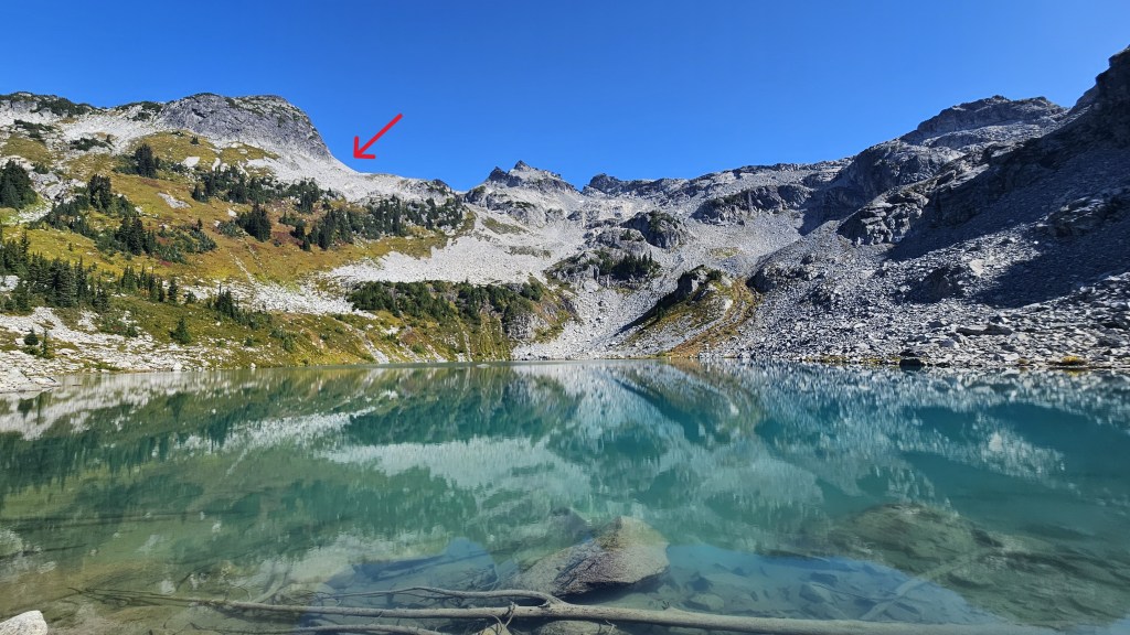
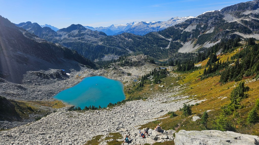
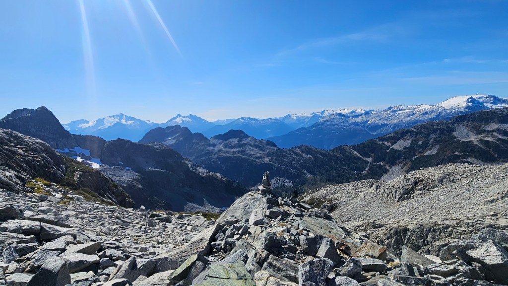
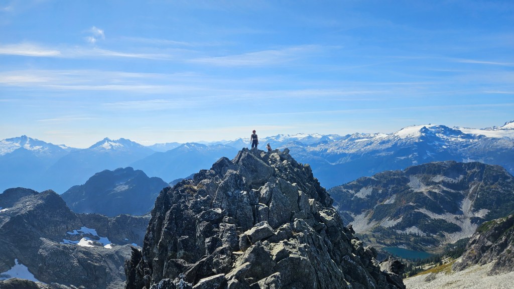
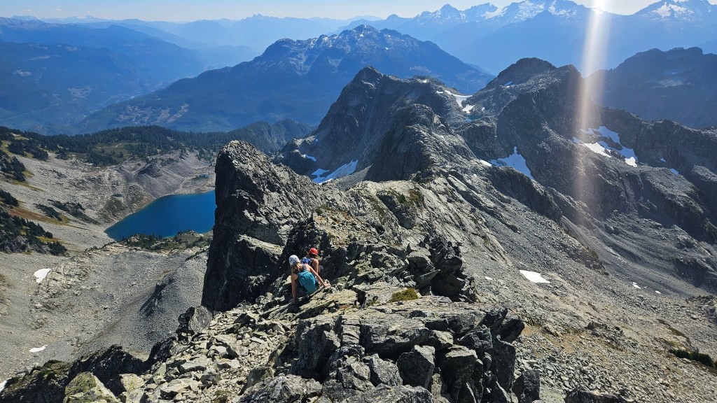
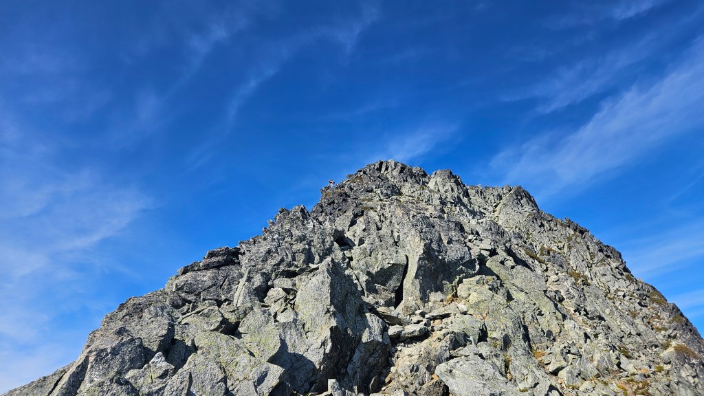
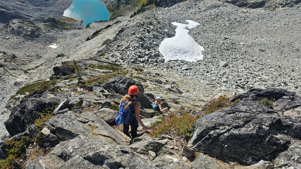
Past the shoulder we briefly followed cairns over talus up the west side of a narrow bowl, before cutting east towards a slabby ledge. We saved ourselves some toiling by kicking steps up over a lingering snow patch which then brought us on to the scrambling section of the route. We had actually gained most of the day’s vertical by this point and from the snow patch were only 40 minutes beneath the summit. Above the snow we scrambled up over firm broken slabs to gain the ridge and right way encountered the first of two cruxes. This first crux, in my opinion the harder of the two, involved a couple committing moves with minimal holds over a steep down-sloped slab. Above that we continued along the ridge crest through a mixture of rubble and shattered boulders. With modest route finding it was mostly third class scrambling with occasional exposure. The final 5-10 minutes of ridge proved to be the most technical and exposed, with the narrowest section being a no-fall-zone that I wouldn’t dare attempt in wet conditions. For us these last 20m or so to the summit were the second crux.
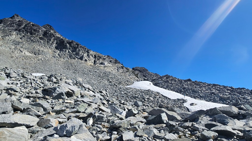
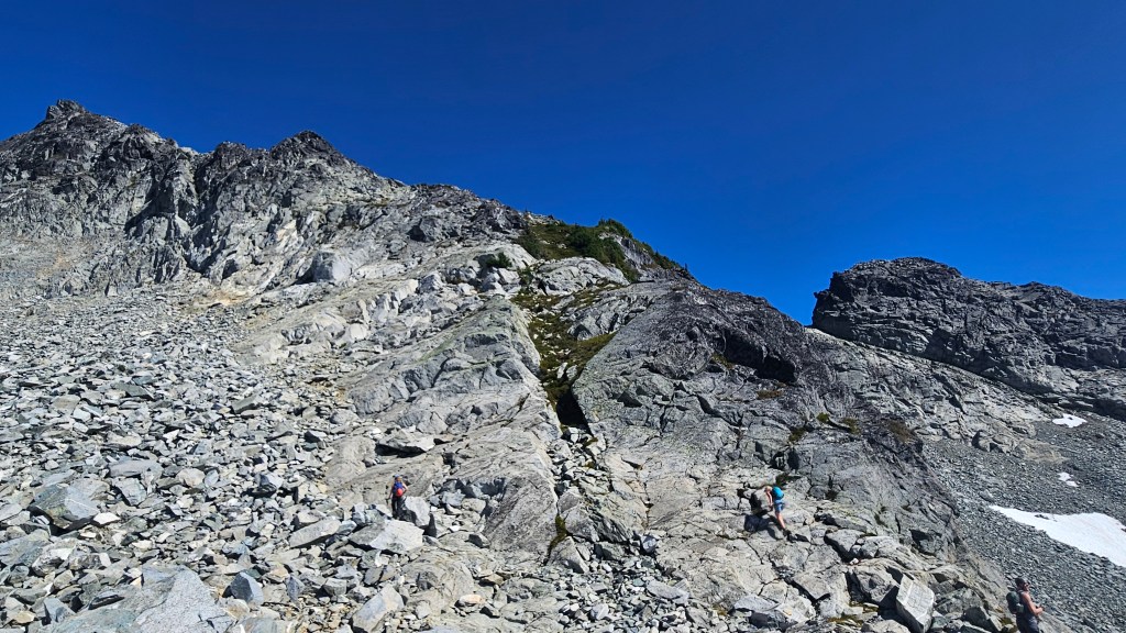
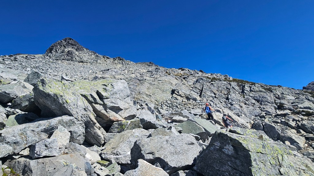
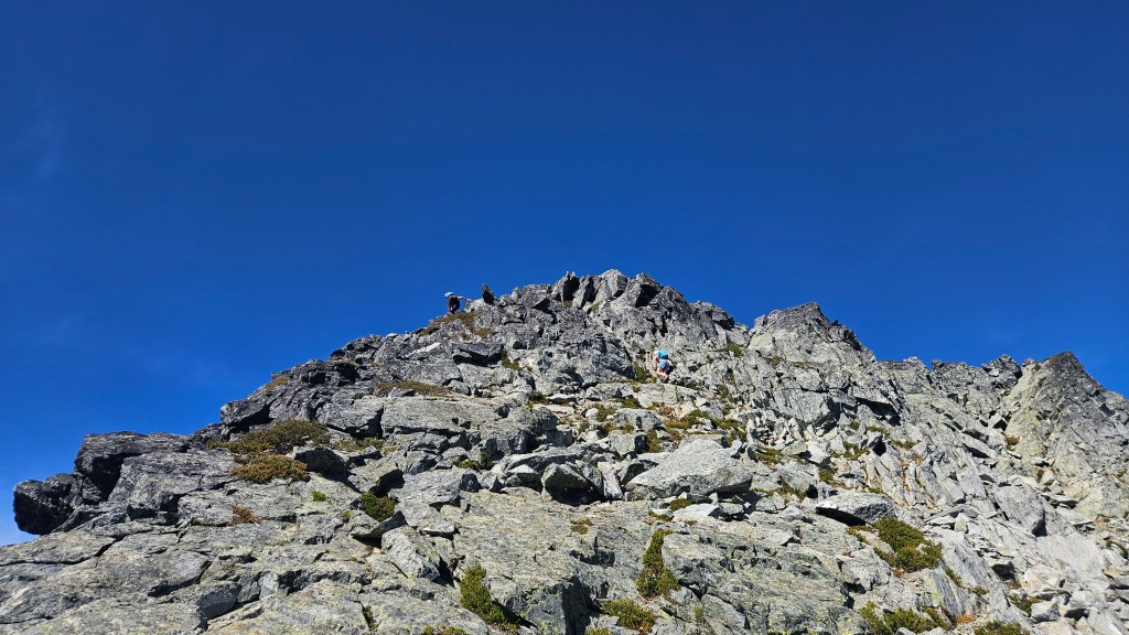
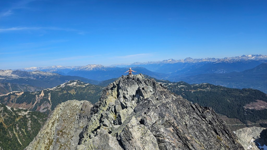
After a few silent minutes of concentration, all five of us completed this summit push by 2:05pm. It turned out to be a double summit, though surprisingly neither had a register. Myself and Tara took turns scrambling to the second summit, a mere 2 minutes east, though I reckon both are the same height. The second summit is more exposed than the first, with the connecting notch being another no-fall-zone. It made for some great photos! Mighty fine views up there. We enjoyed our summit visit before tightening up the boots and starting the scramble back down. The descent was luckily without incident, we took our time down climbing the more exposed sections and all helped one another with navigating down the two cruxes. The exposure was definitely more noticeable on the down climb, especially coming down the second crux under the summit.
Although the downclimb felt more exposed, I actually found it easier than the upward scramble (a rarity from me), perhaps due to the superb rock quality. If this was on rotten Rockies terrain it would certainly be rated difficult, other than the two cruxes it was mostly fun moderate scrambling. The first crux, back near the snow patch, certainly felt difficult on the downclimb despite being less exposed than the ridge. As we hiked down off the shoulder towards the meadow we encountered a solo hiker that confirmed that Will was still happily swimming in Pendant Lake awaiting our return. He had apparently watched our whole ascent with a crazy amount of zoom on his camera phone, before hiking back down for an extra dip into Spearpoint Lake.
We regrouped with Will at Spearpoint Lake around 4:30pm. Bri managed a quick dip and we took our last “long” break of the day before resuming the hike out. The muddy section was as bad as it was in the morning and despite the hot clear conditions did not dry out in the slightest. A couple party members actually wiped out here and were quite a mess. Hiking past the trailhead back onto the branch road section of trail, a massively supped up truck (substantially lifted too) drove up towards us and parked at the trail head, The guy was friendly enough and acknowledged that the washout had been pretty gnarly to drive through (photo at the end).
A few minutes further down the road walk we encountered a group of four trekking up with overnight packs. It was from this group that we learnt of the other approach trail slightly to the west that avoids the mud by side hilling over talus. The guy in this other party referred to this as the “rock route” and got a chuckle when I lamented “what, there was a rock route?!”. Oh well. all part of the adventure. We returned to Daisy’s RAV4 just before 7pm and got down at least some of the branch road before it was totally dark out.
Despite the late return to town, Bri and I still made it to The Copper Coil for a late night feast! An epic day overall and excellent scramble in good company. Some parties could likely do this in 8-10 hours round trip whereas ours was nearly 11.5 hours. A lot of prolonged breaks, which I didn’t mind as we don’t often adventure in this part of the province and it was a super clear day. Highly recommended if your vehicle can handle the branch road!