June 10th 2024. Golden, British Columbia.
Round Trip: 6 Hours, Elevation Gain: 1375m.
Easy Scramble; Difficult Hike
Oh boy do I have a lot to say about this one! Firstly, DO NOT go the way listed on Golden Scrambles which is via a cut block off of the Thompson Falls (east) side of the mountain. That route may have worked 15+ years ago but is now very grown in. Myself, Scotty and Ben went this old route in September 2023 and while we did summit, it was some of the worst bush whacking any of us had experienced… THREE HOURS of it before reaching the ridge. Plus, the branch road leading in to the old route is horrendously grown in and in hindsight should have been hiked in rather than driven… lol.
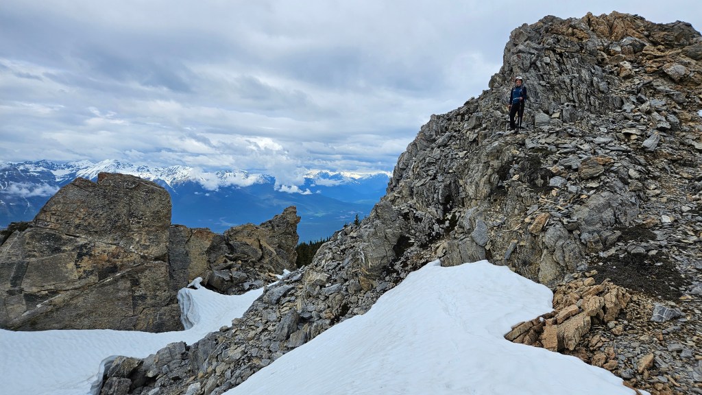
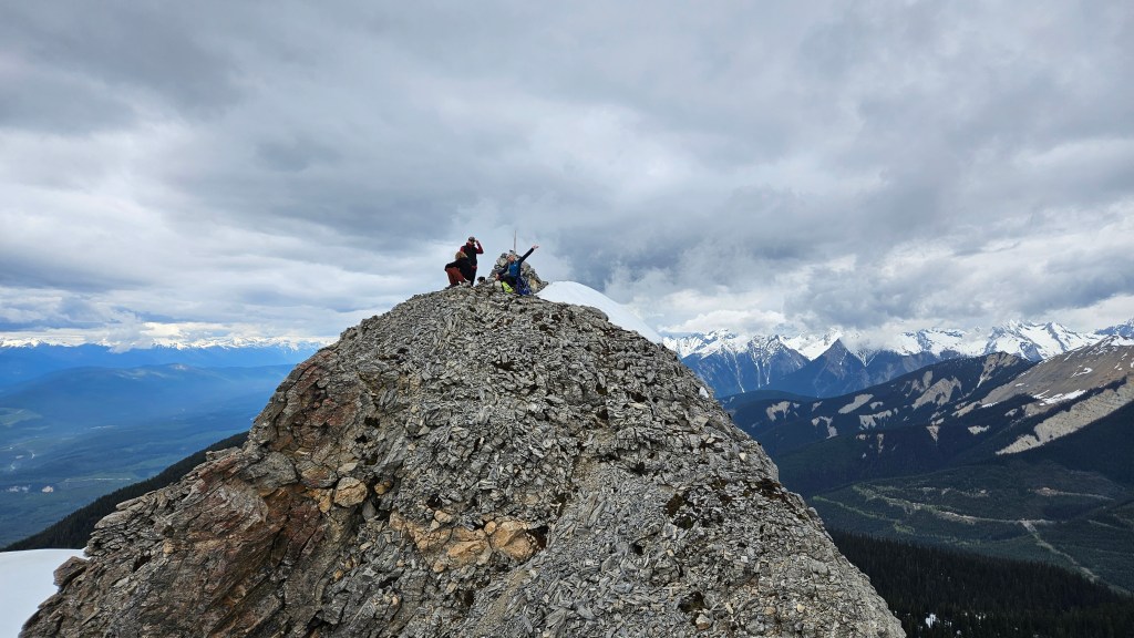
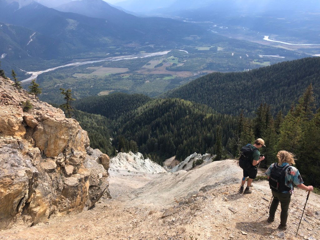
So, as the reader you are probably wondering, why the hell would one revisit this peak?! It is an excellent question. In 2023, after escaping treeline, we noticed a large cairn on the southern high point of the ridge and what seemed like a faint footpath underneath it leading down the opposite (west) side of the mountain. Our suspicions of it being a trail were later confirmed when we read numerous recent entries raving of the trail’s condition in the summit register. We decided to leave Scotty’s truck on the branch road, coordinate pick-up on the other side, and hike down this trail. It was substantially better than bush thrashing the eastern slope, albeit one of the steepest grades we’ve hiked. It is however well defined, relatively clear footing, and boasts incredible views of the Columbia Valley, Dogtooth Range and of neighboring Moberly Peak to the south. We decided it would be worth revisiting as an early season mission.
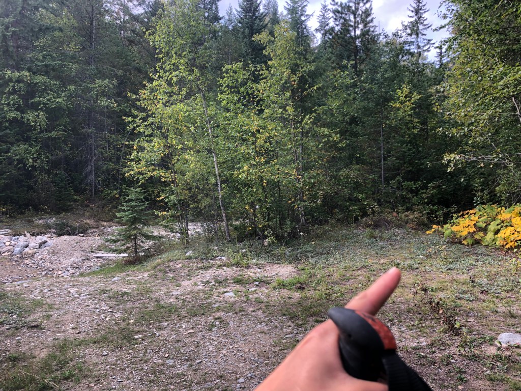
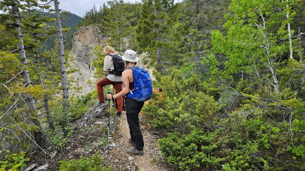
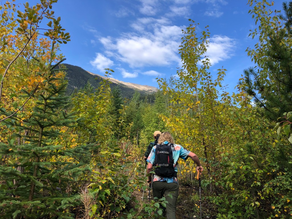
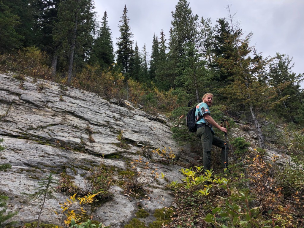
The trailhead for this seemingly home-made trail starts from an unsigned pull-off at the west end of Johnson Road in the Blaeberry (left turn off of Seward Road). The road appears to dead-end into a private driveway, just before this driveway there is a pull-off on the right (north) shoulder, giving access to a creek and ATV path. Do not take this ATV path nor cross the creek. Instead, stay to the right and bushwhack for a few brief moments to an obvious cleared path. From here, the path steeply works its way up along to ridgeline, the summit is roughly an hour’s hike to the northwest with brief stints of easy scrambling.
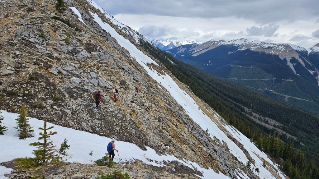
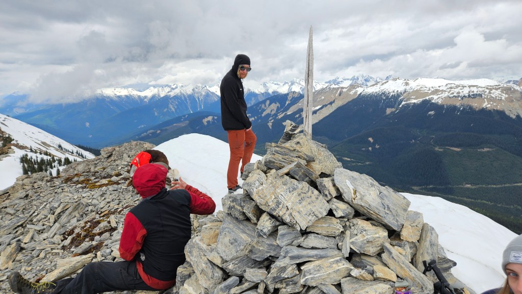
We revisited this route on June 10th 2024, having convinced Bri to join us, as well Ben’s doggo Rosie whom made her summit debut that day. While an easy scramble in technical terms and excellent views, the trail up is a strenuous effort and is bloody steep. We gained around 1100m in the first 2km, and most of the 1375m by the time we reached ridgeline. The final traverse across to the summit is comparatively flat and long. Staying true to the ridge crest offers stints of easy scrambling, most of which can be avoided by side hilling on either side. Upon reaching the summit, Ben, Scotty and I had a chuckle re-reading our frustrated register entry from 2023’s bush-thrashing effort. According to the register, there was only one visiting party between our two summit visits, and we were the first to sign it in 2024. The legs definitely felt it at the end of this trip!