August 29th 2026. Skoki / Pipestone Valley, AB.
Round Trip: 7.5 Hours, Elevation Gain: 1000m
Easy/Moderate Scramble; bushwhack
Stats recorded from the campground at Red Deer Lakes. When including the initial hike in from Merlin Meadows, it was closer to a 9 hour day with +1100m elevation gain, and roughly 16km total.
This was our second day in Skoki, having scrambled up Oyster Peaks the previous day followed by an overnight camp at Merlin Meadows. I leaned heavily on Vern’s trip report off of Explor8ion for this route, in addition to offline maps from Strava and PeakVisor. On the note of maps, if relying on physical Gem Trek maps you need both the Lake Louise/Yoho map plus the Bow Lake/Saskatchewan Crossing map for this area. The Louise map covers the approach hikes through Skoki whereas the Bow map covers the actual peaks in this corner of the Pipestone Valley.
Bri and I had observed the route up Cyclone Mountain from the north summit of Oyster, and chose it after considering Pipestone and Drummond. Partly because it seemed to be the easier ascent. Hard to say no to an easy 3000m peak! It was a frosty morning when we broke camp but far less hazy compared to the previous day. After filtering/refilling our water for the day we managed to start hiking by 9:15am. The gameplan was to hike over to our next night campsite at Red Deer Lakes, set up camp and thus lighten our packs, then proceed with Cyclone Mountain. It took us roughly 90 minutes or less to hike from Merlin Meadows to Red Lakes Campground, with the connecting trail being a little rougher than the other trails in Skoki.
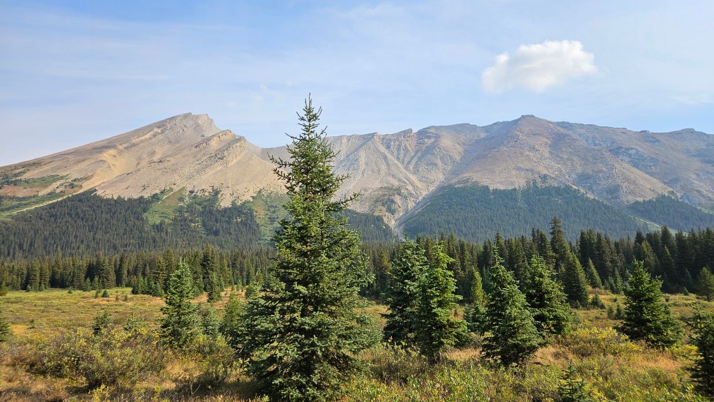
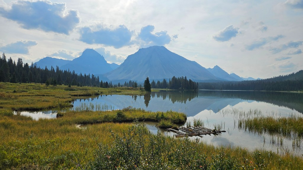
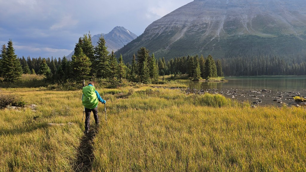
We wasted little time setting up camp and shedding the bulk of our gear. With much lighter packs we set back out on the trail by 11am, back tracking west. It didn’t take long for us to retrace our steps to the sign posted junction for the Little Pipestone Creek trail. This proved to be more-so a wilderness track and was overgrown by the meadow. Initially it was easy enough to follow, though became challenging to stay on as the track interwove with a network of braided wash-outs and dried out creek run-offs. Periodically we would lose the trail but were able to continue onwards in the right direction, having several different maps for reference. Plus we could see our objective for most of the approach.
A critical landmark for the start of Cyclone’s ascent route is a natural creek junction cutting through the main trail. There was a large cairn here, though likely intended for those using the main trail. We noted that the route line on our screen shots more or less followed the smaller creek at this junction due north. Another landmark to note is if you pass this junction you’ll enter a thick forest and start losing elevation – if that is the case then you’ve hiked too far west. We followed the smaller creek into a sloped thicket of forest, briefly bushwhacking our way to a more open avalanche slope. It was thick with chest-high regrowth but at least we could see our way through it. Bri and I maintained a loud conversation while thrashing up this slope – it seemed like ideal grizzly bear terrain.
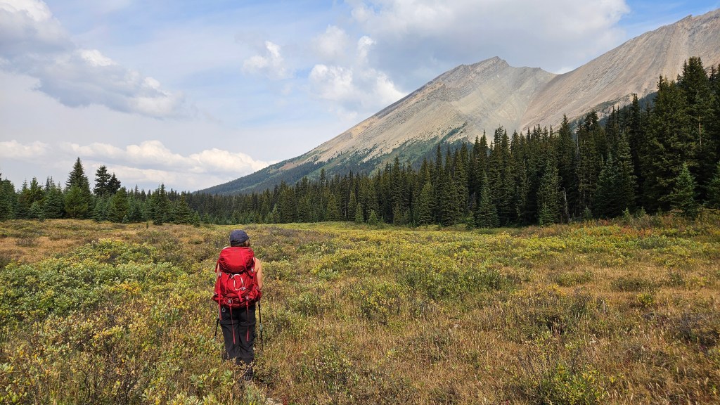
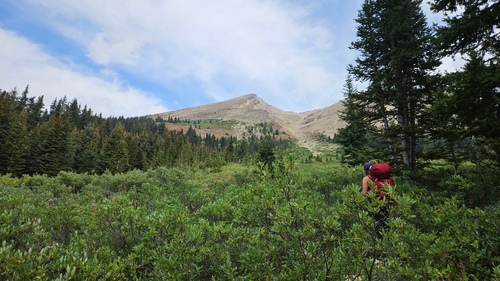
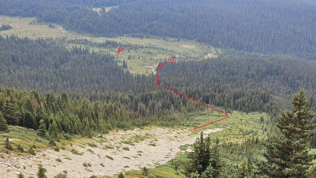
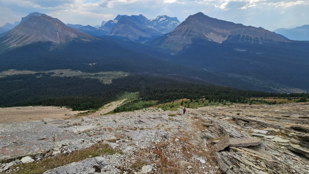
We cleared the vegetation around 12:30pm-ish and hiked up into the start of a gully. Our aim was actually to gain the slope to the climber’s left which then crests upwards to the south ridge. The lower section of the slope looked steep and consisted of down sloped slabs carpeted with vegetation… we had already our fair-share of slick down sloped slabs on Oyster so decided to try bypassing some of this by scrambling in the gully. This ended up being short lived and we spotted a weakness in the cliff bands early on to gain the crest. Had we stuck in the gully any higher there may not have been opportunity to gain the main route; the gully’s western wall was quite steep and certainly beyond the means of a scramble. Fortunately for us, once we gained the slope the exposure over the gully was mostly avoidable and the terrain quite easy to ascend. To clarify – its not necessary to take this gully, one can ascend the slope the whole way.
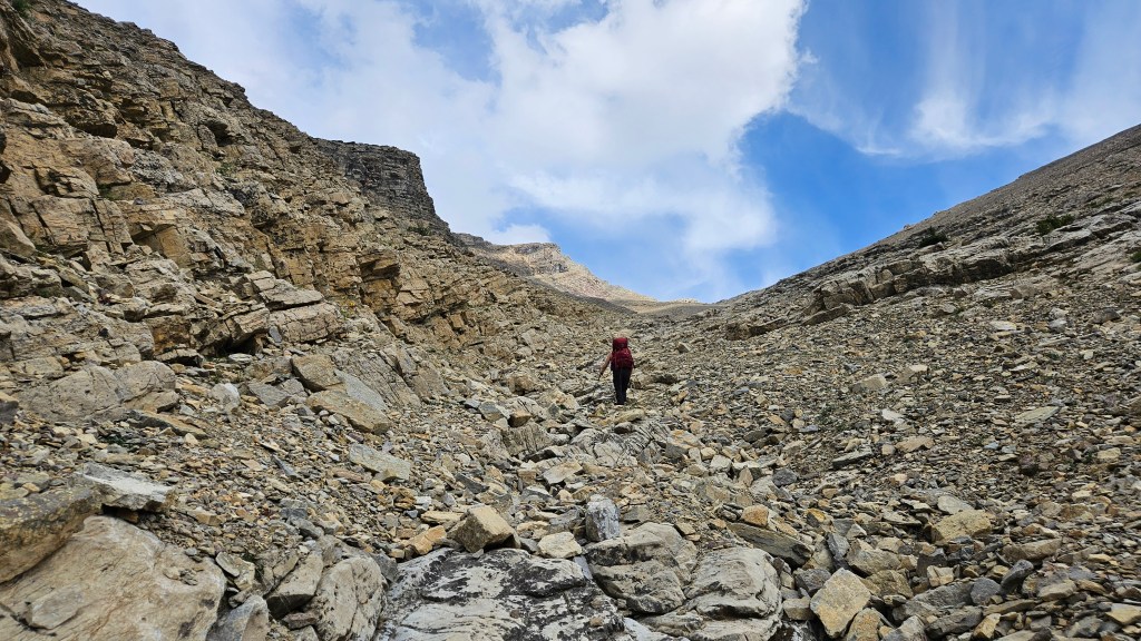
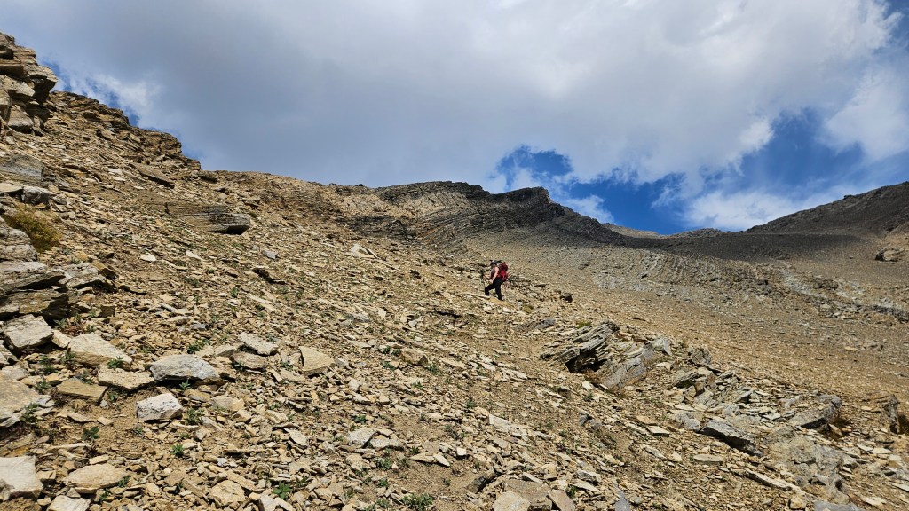
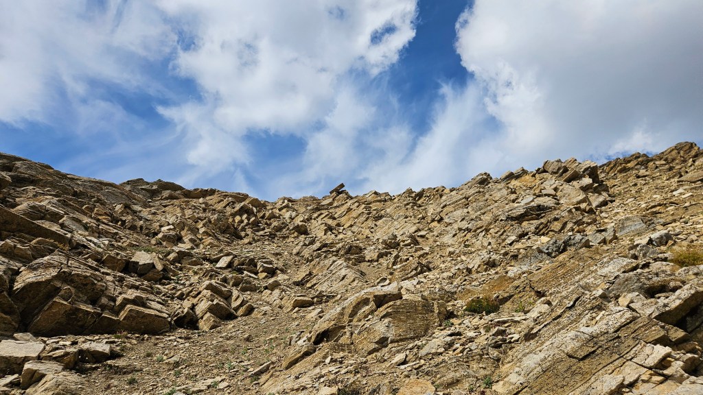
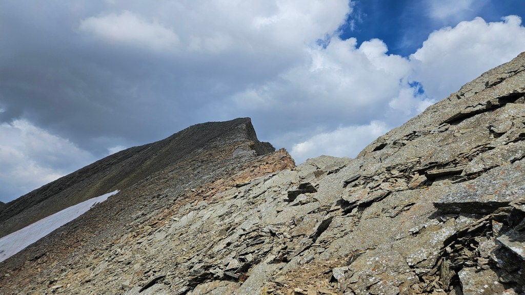
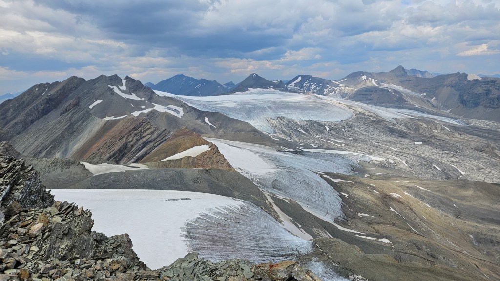
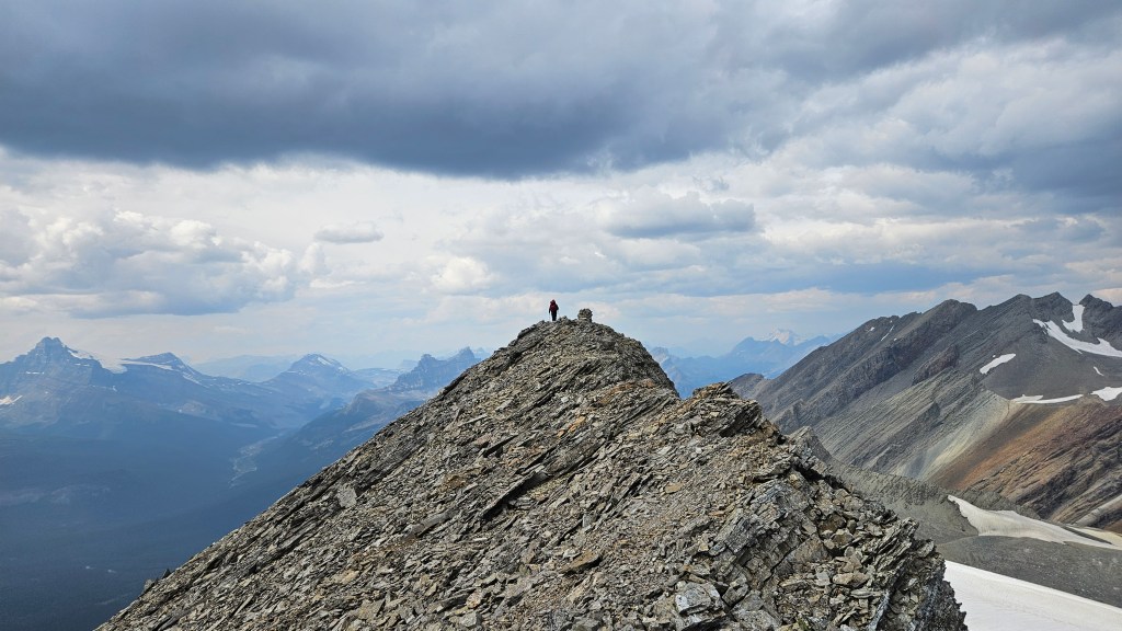
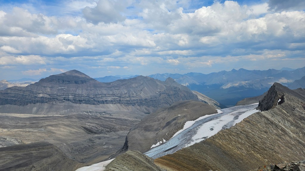
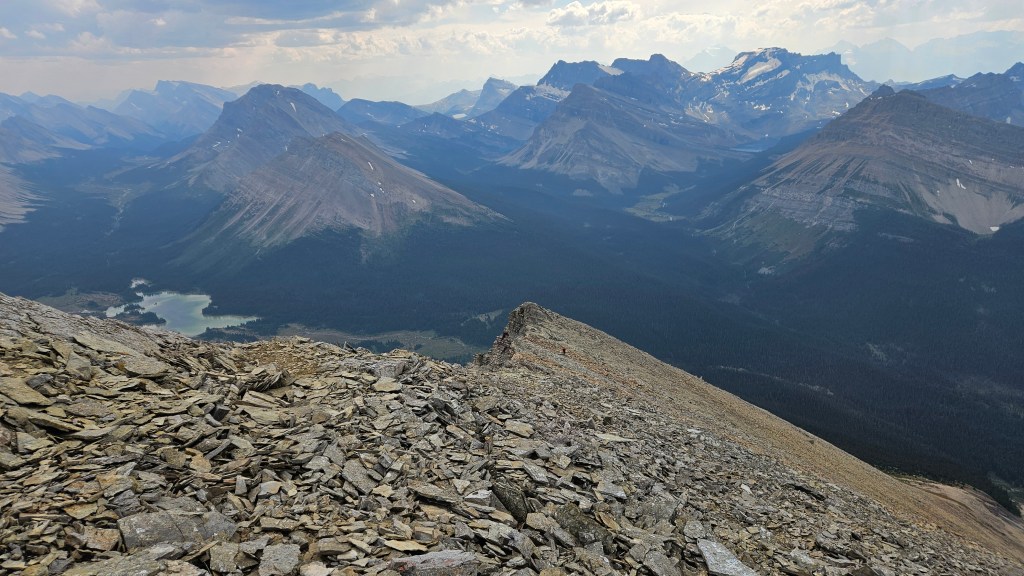
From where we exited the gully onto the slope, it took an hour to hike up to the south ridge. No technicalities encountered – we were actually quite surprised how easy this was, even after reading Vern’s trip report which states much the same. Things got a bit more interesting once we hiked onto the south ridge, the airy drop over the gully to our east was followed by an equally air drop over the north side. And that this point we now had an epic view of the icefields leading north past several unnamed peaks towards Cataract Peak. This final stretch took us roughly 30 minutes to traverse, topping out on the summit around 2:40pm.
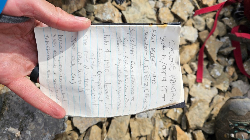
The summit was marked with a large cairn and to our pleasant surprise the original black plastic tube register from the late 1980s was still in use. We happily signed it though left the ciggies for whomever would visit next. We enjoyed the views for half an hour before retracing our steps back down, sticking to the slope and avoiding the gully. The adjacent ridge to Pipestone Mountain looked linkable, but would involve at least two nasty downclimbs, one of which warrants ropes. I’ve read Rick Collier’s report on Bivouac which indeed confirms this. Not that we were seriously considering it for that outing, Bri and I were more than content with Cyclone being our only summit for the day. We’ve proclaimed it our favourite view for the Skoki area, so far! While not an overly interesting scramble, the remoteness and scenery from the summit make this adventure well worth the effort! The return to camp was mostly uneventful, though the weather turned and cold sleet/rain rolled in during the last couple kilometers. And we saw a deer.
We made it back to camp right as the weather turned. It poured rain all evening, overnight and into the next day, snowing heavily at higher elevations. As a result we didn’t bother with any other peaks that weekend and hiked out via Cotton Grass Pass. Still made a great three day trip, with the views from Cyclone’s summit being the highlight.