August 14th 2026. Yoho National Park, BC.
Trip Total (includes Pollinger & McArthur): 14.5 Hours, 37km. Elevation Gain: +2300m
Mt Kerr: 5.5 Hours from Takakkaw Falls, +1360m elevation gain
Easy to Moderate Scramble for Mt Kerr
As of October 2026, this is my biggest single day outing in the mountains, for all stats. I had recently left a stressful job and decided to dedicate the remainder of the summer to peak bagging. Revisiting Mount Kerr had been on radar and the opportunity to revisit lined up for August 14th. I was joined by Connor, who had previously joined for Little Hector, and his buddy Jake. The initial gameplan was to attempt all four of the Kane Scrambles around Kiwetinok Lake as a massive day trip, and I was originally going to do this solo not expecting to win over much interest in such a long day. Needless to say then, I was pleasantly surprised to have two others team up with me for this trip. Given the size of the trip, this report will specifically focus on Mt Kerr, with an additional report for Mounts Pollinger & McArthur.
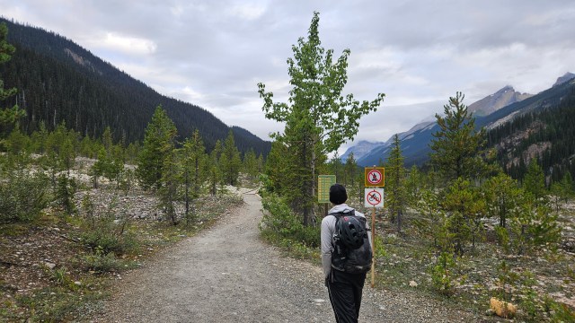
Connor and I left Golden around 6:30am and grabbed Jake from Kicking Horse Campground along the way. Admittedly we started a bit late given the length of our trip, leaving the car at Tak Falls around 7:30am. Thankfully both chaps were committed to the idea of getting multiple peaks done, so we wasted little time on the approach hike. A quick toilet stop at the first campground was followed by a brisk march past Laughing Falls and up the trail towards Stanley Mitchell Hut.. So far, the weather was perfect for hiking: cool and overcast… eerily similar to the previous year’s weather.
For those new to this blog, I had previously scrambled up most of Mount Kerr in 2025 with Bri and Kels. Just shy of the higher south summit, I dislocated my shoulder and subsequently had be helicopter rescued near Kiwetinok Lake. It was a very eye opening experience being severely injured on an otherwise easy mountain, and it greatly impacted the remaining scramble season for me. Many technical ascents previously on the list were scrapped and we ended up doing a lot of non-technical plods during my recovery. Having not made it to the true summit of Mt. Kerr, it was on my list to eventually revisit, though this time with a light daypack.
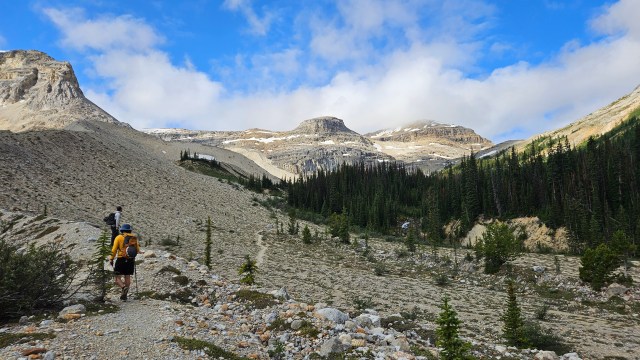
Jake set a strong pace for us and we reached the Stanley Mitchell Hut in two hours from the initial trailhead. Taking advantage of the flattish terrain and well maintained trail network, we continued along briskly. Retracing our steps from 2025 the approach was much the same, though we did somehow wander off trail near the last patch of trees. Turns out there’s quite the spider-webbing of side trails leading to Kiwetinok Lake. The main one appears to be north of the creek, in 2025 we stayed left which was more adventurous and scrambly, this trip we did a bit of both trails. Eventually we reached the lake around 11:30am, from there we could study the surrounding peaks, scrambling routes, and chose our order. Mount Kerr was the main objective and thus was always going to be first. The real question would be if we had the time and energy for doing Kiwetinok Peak and or continue along the ridge for Mt Pollinger and Mt McArthur.
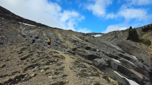
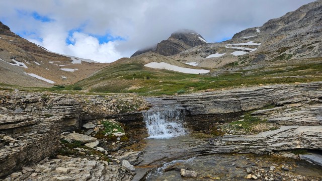
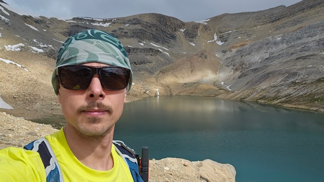
From Kiwetinok Pass we hiked up the ramp leading to Mt Kerr’s northern slope and donned helmets. Much like the approach, there is a main foot path snaking through the talus, though numerous side paths spider-web over the cliff bands. Essentially there are numerous opportunities for route variation and some route finding was still required in determining the most efficient way up. Some of the hands-on scrambling was unavoidable, including at least one interesting down climb a little ways before the north summit. For some this will likely feel like the crux due to the down-slope gradient of the ledge, and it somewhat overhangs a gulley. Or one can tackle the ledge further above as Jake did on the return trip, which was more technical.
Asides from this section, much of the hands on-scrambling can be avoidable if you are approaching this as a hiker or novice peak bagger. And prefer bashing up lose scree and talus. Worth noting: there are an over abundance of cairns on this mountain and some of them do lead you unnecessarily into hands-on terrain. We found these sections were all fairly easy, though acknowledged that this is indeed a scrambling route and less so a hike, even in comparison to other “easy” rated Kane scrambles.
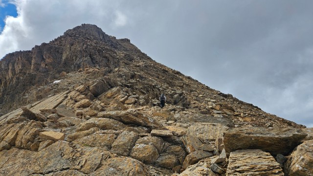
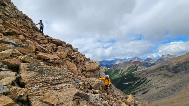
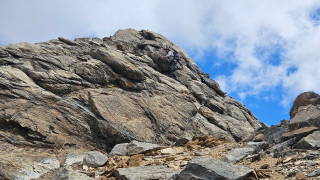
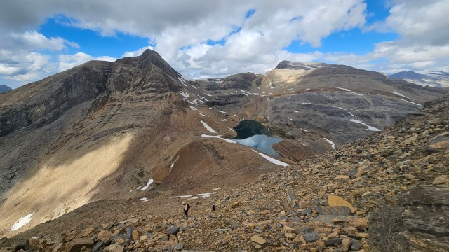
It took around an hour to scramble from the lake to the lower north summit of Mt Kerr. For those that enjoy splitting hairs over technicalities, this is the summit according to most maps. It escapes me as to why that is, as in person its quite obvious that the south summit is higher. Plus, that’s where the register is. We took a quick breather but continued on, know realizing how long our day could become. Given that we were already 5 hours in and still to yet to bag our first peak. Traversing the ridge southwards I noticed more tarns this time around versus the previous trip. If one dropped east (climber’s left) one could easily side-quest to these tarns. We also noted that it may be possible to bypass the north summit on the return journey by side-hilling across this same slope. That would be a later decision to make.
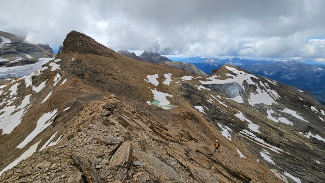
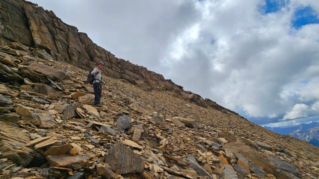
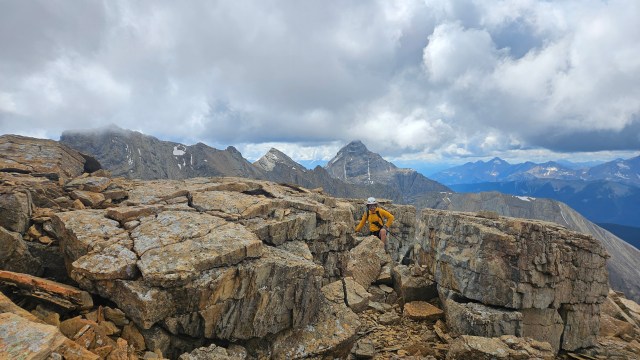
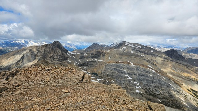
After a brief loss of elevation, we were soon ascending the same slope where my injury occurred in 2025. I made a point of photographing it and took a quick video to highlight it. Beyond this site, as I suspected in 2025, the summit was less than 100m vertical away. Side-hilling past the injury site, the slope links up with a westerly ride line composed of pancake-like stacks of broken rock. A very fun ten minutes of easy hands-on scrambling led us to our the higher south summit at 1:06pm. While the views had been excellent the whole trip, they were exceptional from here. Not only had the clouds lifted off-of the peaks but we could also see numerous bright turquoise tarns around the surrounding moraines beneath the summit. It had been a solid effort up and while the stoke remained high, we were pretty exhausted and took an extended lunch break at the summit.
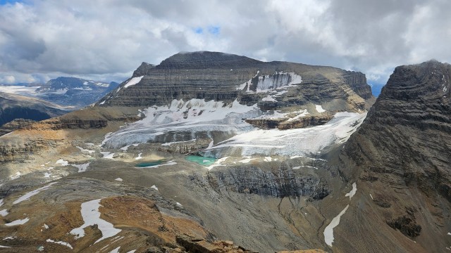
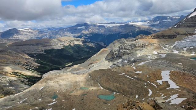
While recharging at the summit, we openly discussed what the remainder of the day would look like, including a potential bypass of Kerr’s north summit. The by-pass might save us having to regain and lose elevation, but would involve side-hilling across a steep slope that was likely hard packed. I personally enjoyed the scramble over the north summit and was able to convince the team to retrace our original steps. I might have to revisit this one yet again, even if just to side-quest explore the tarns! While this was a technically easy ascent, it felt like quite the accomplishment to have returned and summited this year. Further embellishing the moment was that I had sat down earlier in the year to recount the number of peaks I had done over the years, and fittingly this was my 150th!
In terms of the other Kane Scrambles on our radar for that day, we had decisions to make. Kerr took longer than expected and we were aware that getting the remaining peaks would make this into more than a 12 hour day. The three of us agreed to continue onwards but acknowledged that it might come down to choosing between Kiwetionk Peak and Pollinger/McArthur. The route up from the back (northwest) side of Kiwetinok Lake appeared quite snowy from the pass, though now from the summit it appeared that maybe the snow was limited to a short portion of the ridge. Pollinger looked dry, as did McArthur, so these two shifted into our priority list. If the slabs on Kiwetinok’s route appeared dry, we would potentially try for that one first and then reassess our remaining daylight.
We wrapped up our lunch break and traversed back to Kerr’s north summit, then descended back down to Kiwetinok Lake where we would reassess what to do next. It was hard for the guys to both imagine descending that rubble with a dislocated shoulder as I had the previous year, I myself had a hard time believing it too. Even with light day packs, it felt tedious. We returned to Kiwetinok Lake by 2:45pm and committed ourselves to at least one more peak.
A separate trip report will cover the second half of this trip.