August 14th, 2026. Yoho National Park, BC.
Round Trip: 14.5 hours, Elevation Gain: +2300m (includes Mt Kerr & Mt Pollinger).
McArthur: 2.5 hour ascent from Kiwetinok Lake, +600m gain
Moderate Scramble if bypassing the crux
This trip report includes the ascent of Mount Pollinger 2816m and is a continuation from Mount Kerr.
Connor, Jake and I had previously decided that we would continue onwards and get at least another peak or two out of the surrounding Kane scrambles. It was already 3pm by the time we returned to the lake, so we knew at that point that we would likely only have time for 2 of the remaining 3 peaks. After all, this was a day trip! Mount Pollinger, which Kane accurately describes as a mere bump along the ridge to McArthur, seemed like a guarantee to us. So the real decision was choosing between Kiwetinok Peak – a difficult exposed scramble, or Mt McArthur which was further distance and essentially a hike with one nasty downclimb that might be avoidable.
We weighed in the pros and cons of our options while circumnavigating the west shoreline of Kiwetinok Lake. Talus quickly transformed into massive trailer-size boulders and we readied ourselves for what we expected to be a steep hands-on scramble. To our surprise, the route through this maze of boulders followed a somewhat defined footpath marked with several cairns. The slope above this boulder field, which looked wildly steep from afar, proved to be less daunting up close. Some lingering snow patches helped with this section at first… though we could see a slight problem up ahead.
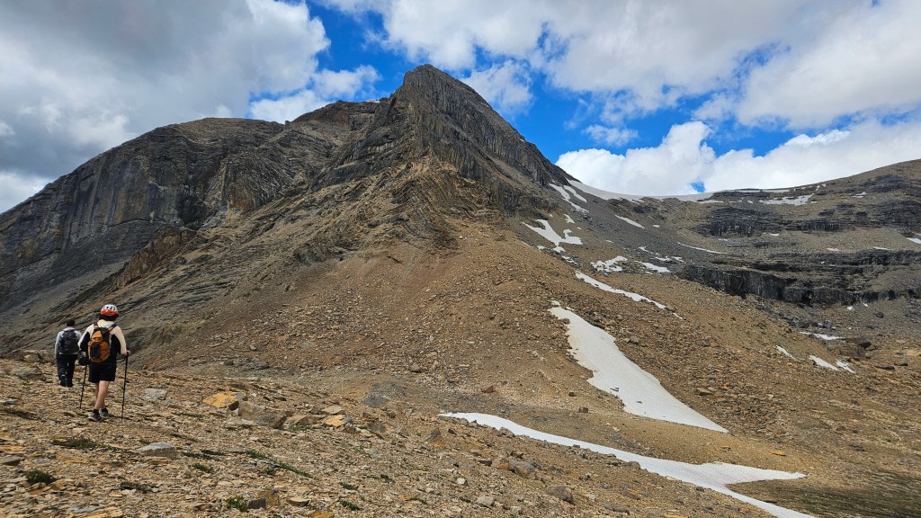
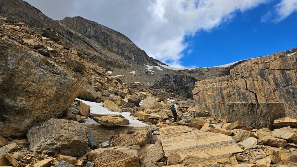
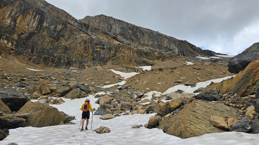
As we neared the connecting ridge between Kiwetinok Peak and Mt Pollinger, there was a considerable stretch of snow covering the crest of the ridge. We knew it was there having earlier observed it from Mt Kerr. What caught us off guard was the size of this snow patch and the steepness of it. In mountaineering boots it would have been easy enough to boot-pack up but I was in softer hiking boots so ended up awkwardly switch-backing my way up the snow. I condensed my hiking poles so that I could use them like ice axes… this proved time consuming and I must have wasted 10 minutes climbing the snow up onto the ridge. Meanwhile, Jake and Connor route found their way across a series of crumbly ledges (moderate scrambling) to avoid the snow.
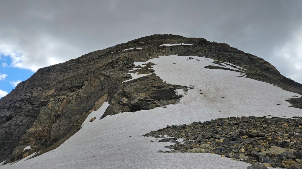
Regrouped on the ridge, we stared up at scrambling route up Kiwetinok. From our perspective there was more snow coverage on the route when compared to a similar photo from Kane’s Scrambles. More concerning however was that the down sloped ledges which account for much of the route appeared to be wet from fresh snow melt. Maybe it wasn’t as bad as it looked, but lacking ice axes and crampons, we concluded that it wasn’t worth it that day. Even in dry conditions this looked like a spicy scramble. Perhaps this one is best saved for a dry August day. We definitively ruled it out for this trip and continued onwards hiking across the ridge for Mount Pollinger.
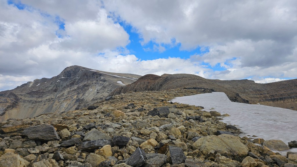
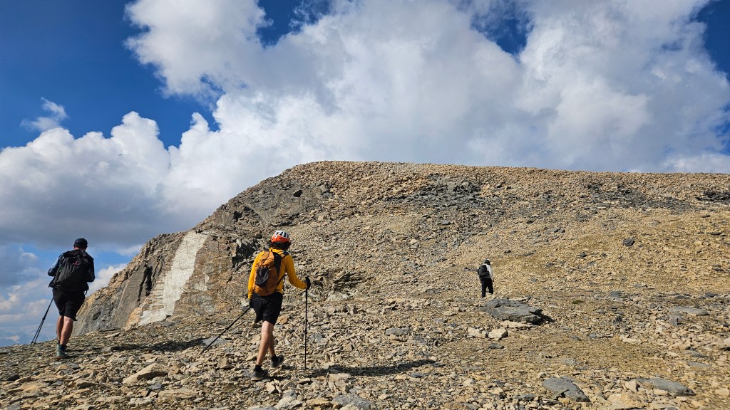
As expected, hiking along the ridge east towards Mount Pollinger was a breeze and by far the easiest portion of our day. A gentle gradient, decent footing and a new-to-us view kept us going. Despite being an official summit on most maps, the bump that is Pollinger was only decorated with a small cairn and surprisingly did not have a register. It had taken us an hour and twenty from the lakeshore to reach Mt Pollinger’s 2816m summit at around 4:20pm. We were definitely starting to feel the early stages of fatigue, luckily Jake had caffeine tablets with him and the energy boost was quite welcomed. Energy spiked, we decided to press on towards Mount McArthur. Earlier in the day we had seen on Peak Visor and Strava an alternative route line coming down the south slope of McArthur that trails back towards Little Yoho River. At the very least, this would save us from having to backtrack to the Kiwetinok Lake again. Next we would have to descend off Pollinger’s summit, which is the crux of the traverse.
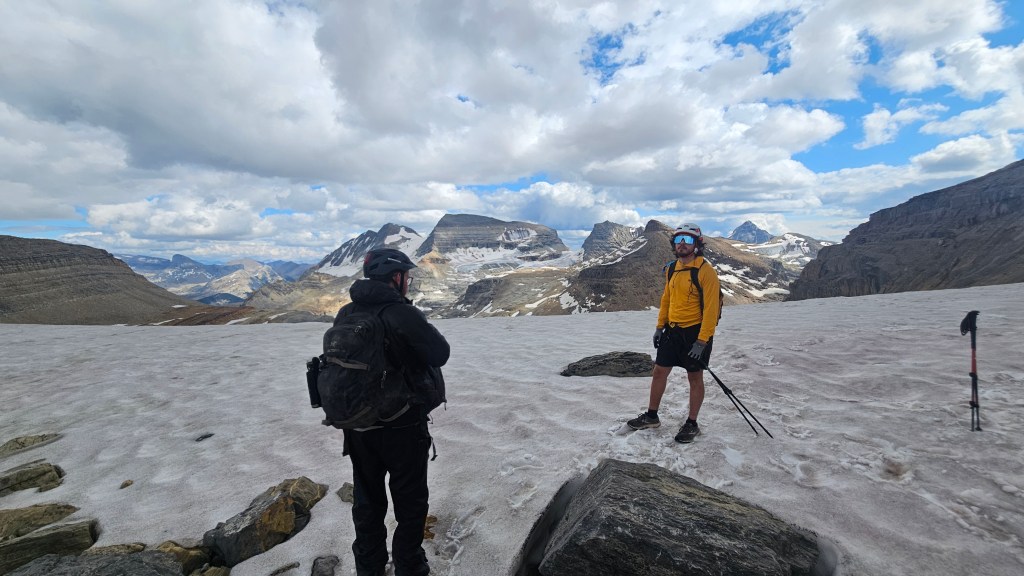
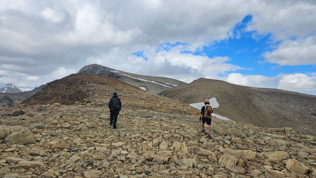
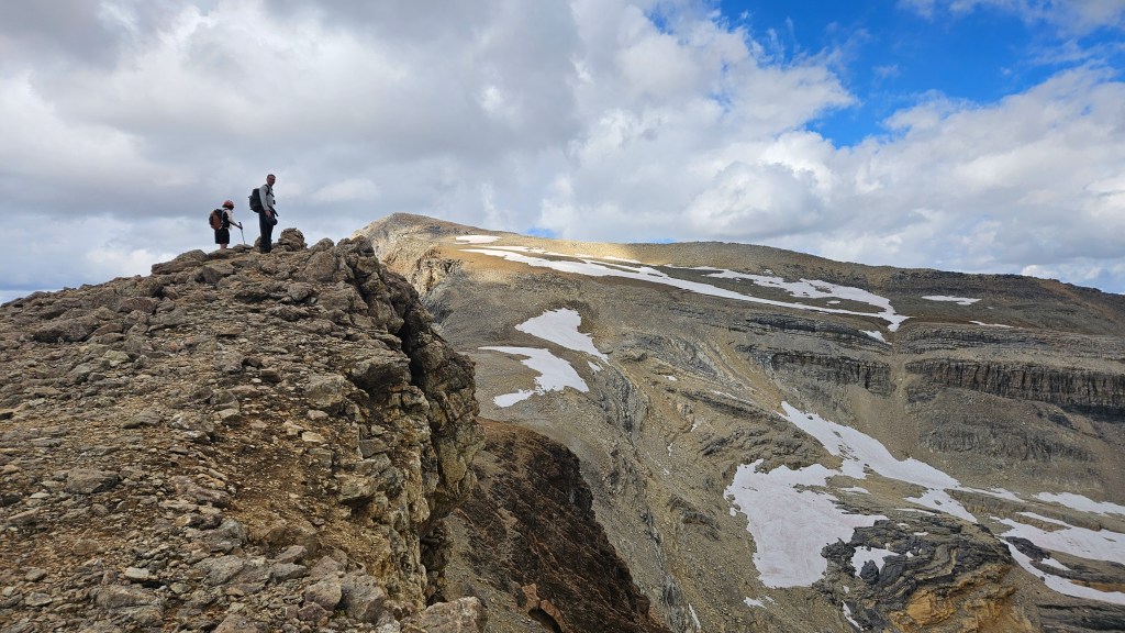
The infamous crux off the summit was directly beneath us, a steep 4-5m downclimb that looked more like a free-solo than a scramble. It was snow-free and evident where the first few moves were based on disturbances in the dirt. Dirt! Why was there dirt up here? It almost looked like soil. Luckily I had read a note in Kane’s book suggesting that a ledge to the ridge’s east could in theory be used to bypass this exposed downclimb. None of us were keen on that crux. After a couple cheerful summit photos, we retraced our steps and explored a well travelled line in scree to the east side of the ridge. This was indeed the bypass and it simply skirted around and under the crux. Much easier! While not technically challenging, its worth noting that this bypass is still quite exposed with the ledge being narrow and loose. As we crossed the bypass, we noticed movement underneath McArthur and sure enough could see solo hiker scrambling up the south slope.
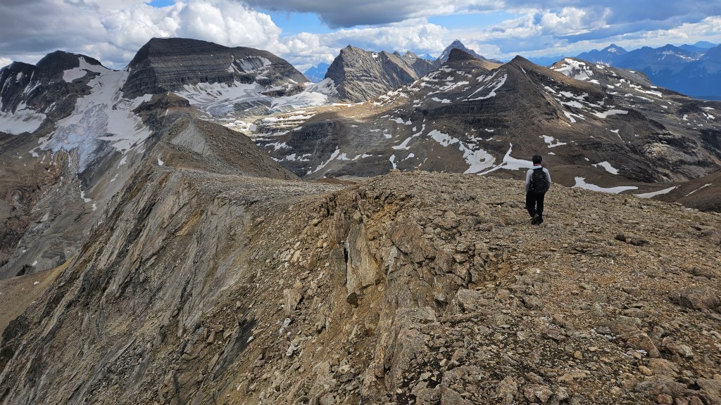
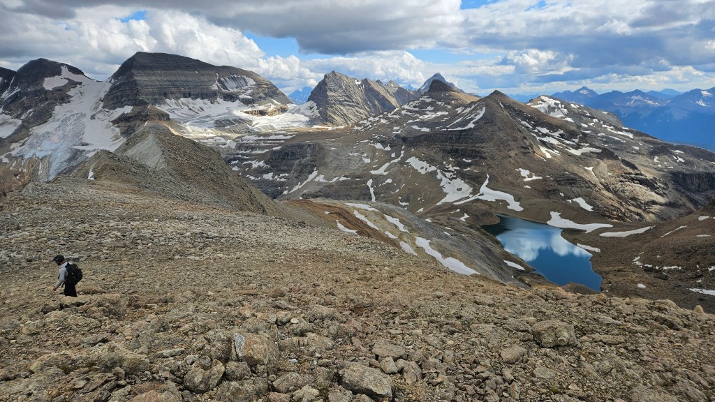
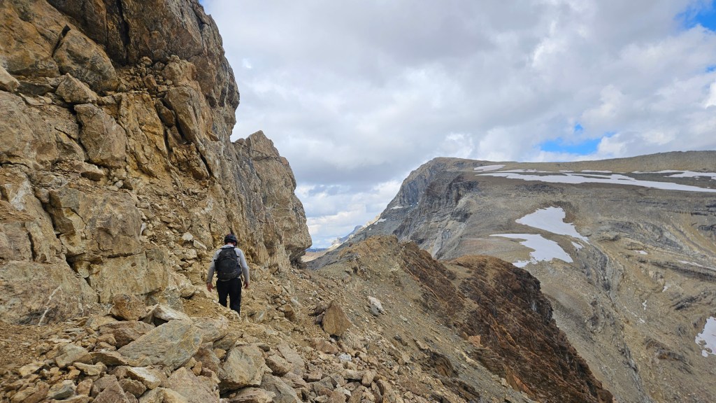
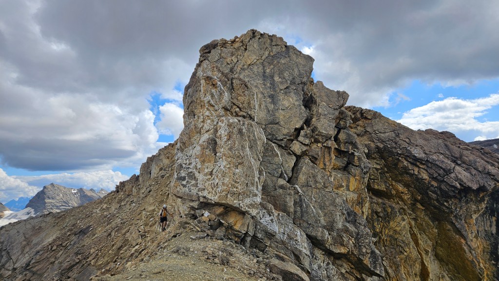
With all three of us safely across the ledge we regrouped and continued towards Mt McArthur. The remainder of the route was essentially another ridge walk, albeit steeper with more elevation to gain versus the section up Pollinger. We watched as the other scrambler had cleared the slope and had likewise gained the ridge. It was apparent that he had spotted us and hiked in our direction, meeting us beneath the final summit slope. Turned out to be a friendly Kiwi (I believe his name was Aaron?) who was actually hiking The Great Divide Trail and was up McArthur as a sort of side quest… the section of the GDT immediately to our west was closed due to the large wildfire on Sea Lion Mountain. Thus, Aaron was up here to get a view of what he and others would unfortunately have to skip over.
From the the base of Pollinger’s crux section it only took us around 45 minutes to reach the summit, which did in fact have a register. It was now 5:15pm, so nearly a 10 hour day at that point and we still had to hike back to the car that evening. Lucky for us Aaron had hiked up the route we had been eyeing for descent, which meant we could likely shave a few kilometers off our return journey. But first we needed a decent dinner/snack break similar to one we had on Mt Kerr, plus the views needed some extended viewing time!
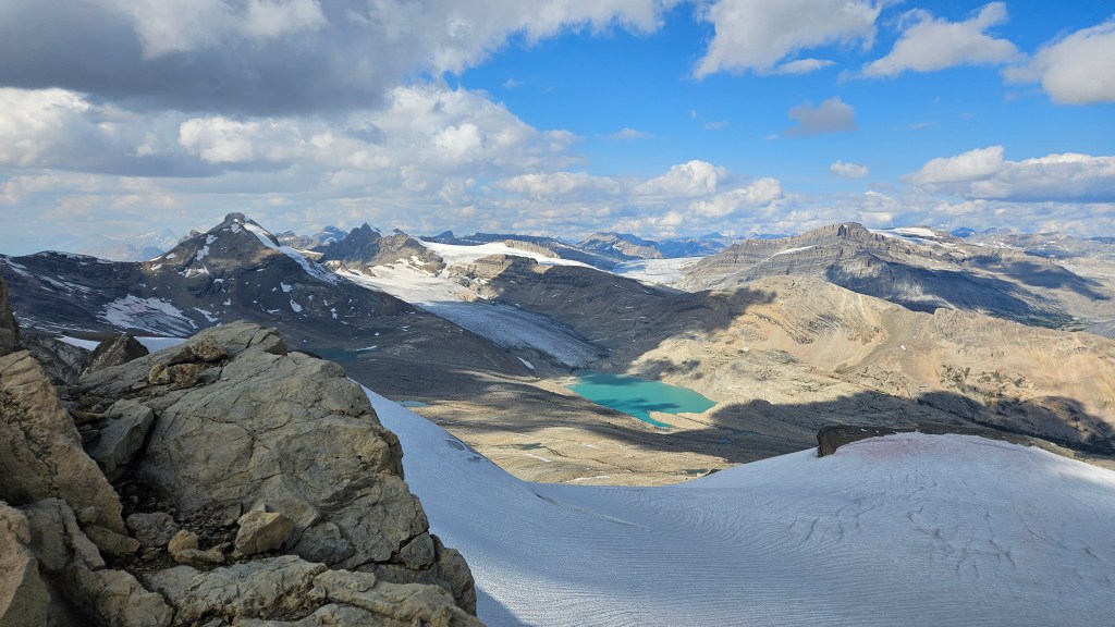
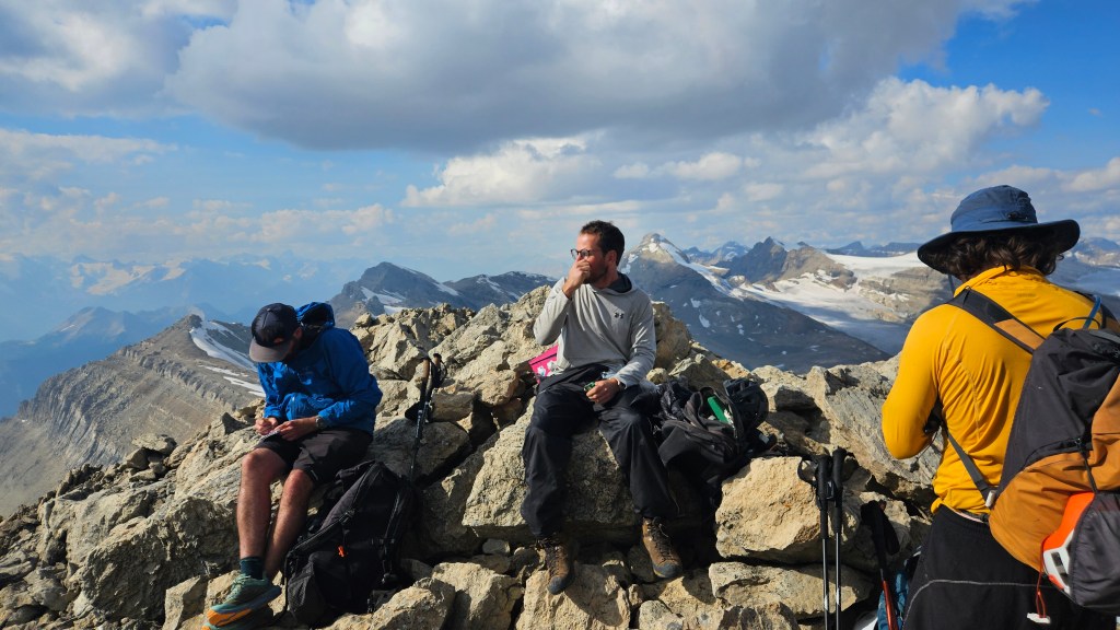
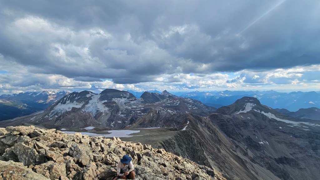
We spent a good twenty minutes or so on the summit before commencing the descent. Aaron decided against continuing towards Pollinger and didn’t mind us joining him for the return journey. The route down the south slope proved to be moderately challenging and we again donned helmets for this section. While not a technical route per-se, there was still a fair bit of route finding coming down the higher slope as we navigated a mixture of loose talus and smooth edged ledges. As an ascent route I’d rate it as a moderate scramble, and imagine the scramble up as being more pleasant than the scramble down. Further down into the bowl the route finding became easier and we trended slightly to the skier’s right. At first this felt counter-intuitive but was indeed correct, lining up with the line on Peak Visor and also follows the natural drainage. Some sections of the lower bowl presented loose scree while other sections were notably hard-packed, likely due to glacial recession.
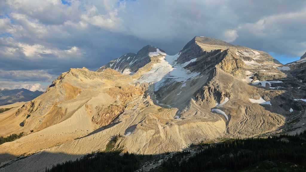
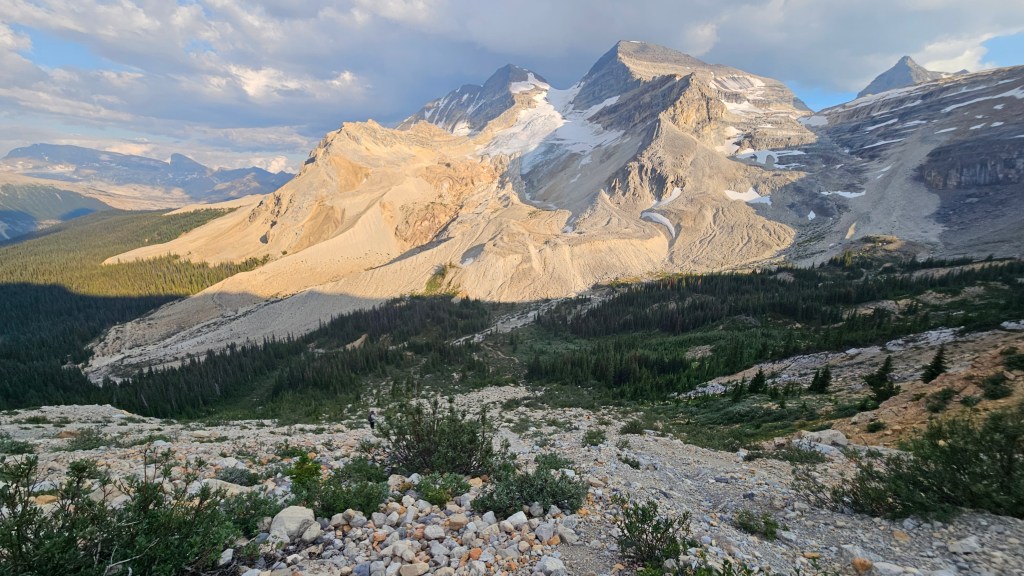
Foreshortening was the curse of this route. Tired and sore now pushing a 12 hour day, we were mesmerized by the alpenglow on The Secretary Treasurer and The President. Despite how wonderful the view was, it felt like we still had a long way to go and seemingly a lot of elevation to drop. This drainage stretched on for what felt like ever! Every time we thought we were about to drop back into the valley there would be another step down along the drainage and this was starting to feel more like a plateau. An hour-ish into the descent we could feel the basin narrowing and yet we still could not see the valley bottom. Looking back towards the bowl we could see that some progress had been made, but based on my photo time stamps this was only the halfway point. The next section of the drainage felt more like a traditional moraine: rolling mounds of compact scree and rubble. We stayed low through here as best as possible, not aware that we already well exceeded 2000m of vertical gain that day.
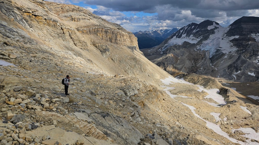
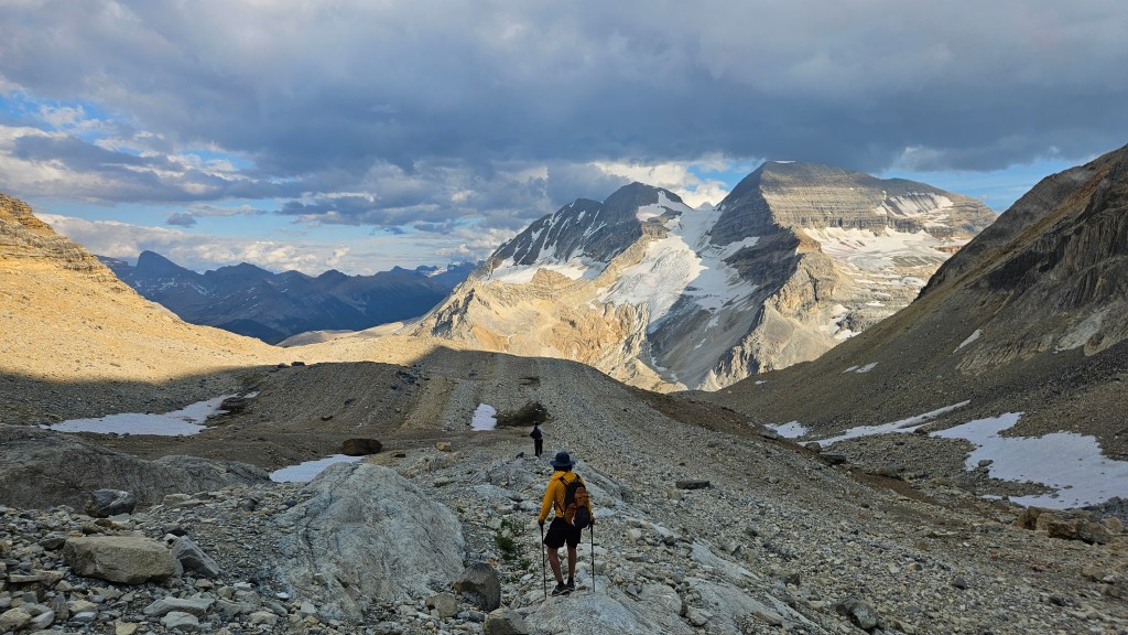
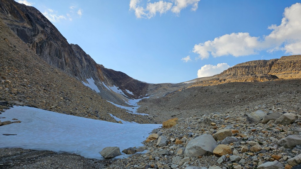
Aaron warned us that the final drop back into the valley was steep, and for him was the worst section of the route. I profoundly concur! As the sight of vegetation returned to the rubble, the drainage emptied out into a steep hard-packed slope. Having no loose scree to boot-ski down, this was a sting-in-the-tail to the descent. And, while we could finally see the Kiwetinok Pass/Little Yoho River trail again, it was still a ways away. On a positive note: we had cut out a good portion of the trail in descending this route and were treated to spectacular views of the Presidential Range in the evening light.
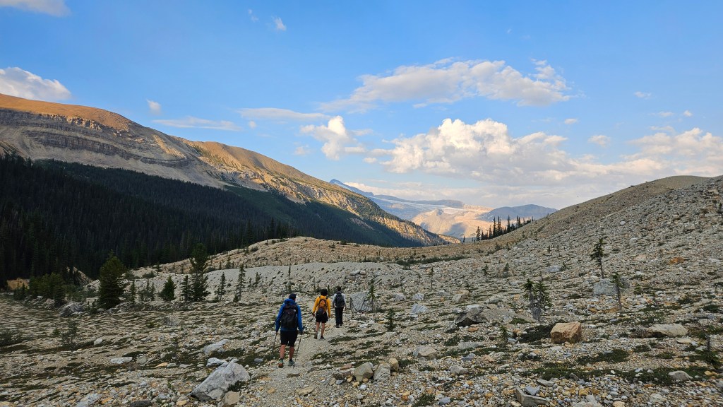
After a knee jarring 45 minutes of picking our way down the slope, we finally returned to the main trail near the moraine underneath The President’s NE glacier. The difficulties of the day were done and it would be a straight forward hike back to the car. It took us twenty minutes or so to hike back past the Little Yoho Valley campground, which is where we parted ways with Aaron. From there we had nearly 10km to hike back to the car… at least it was mostly downhill and along maintained Parks trails. The sun had already set at this point but thankfully it stayed bright enough to hold off on using the headtorches. Those came in handy after passing Laughing Falls which is when it started getting dark under the trees. Despite our fatigue, we kept the chatter going amongst ourselves having not seen anyone else on the trail this late into the evening and aware of wildlife being more active at this hour.
We finally made it back to Connor’s car just before 10pm. A massive 14.5 hour day with 3 classic Kane scrambles in the bag! Over 2300m of cumulative elevation gain and 37km of distance covered in good company. After dropping Jake back at his camper, Connor and I drove back Golden… somehow we stayed awake and made it home safely. This ended up being only the start to a very adventurous week!