August 3rd 2026. Icefields Parkway, AB.
Round Trip: 27.5km, 10.5 hours. Elevation Gain: +1450m
Moderate/Difficult Scramble; brief exposed 3rd class at summit
Stats include our ascent of Molarstone Mountain as this was an extension of the same trip.
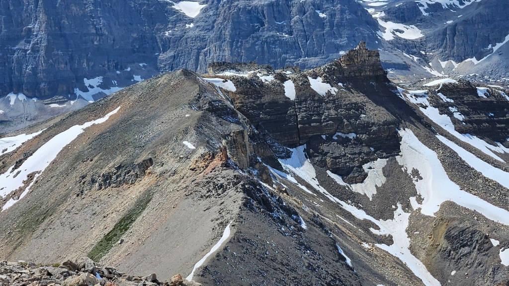
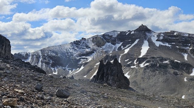
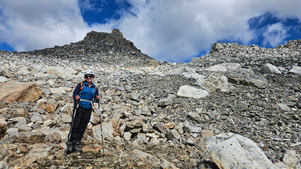
Filled with stoke on the summit of neighboring Molarstone Mountain, Bri and I decided that we still had enough energy to continue down to North Molar Pass and up the next peak. I had screenshots from Nugara’s More Scrambles saved to my phone and we went purely off that description for the scrambling route suggestions. First, we dropped down to the pass from the summit via a very rubbly slope. This slope seemed worse than the one we used for gaining the NW ridge and I’m glad we only had to use it for decent… coming up this would be miserable.
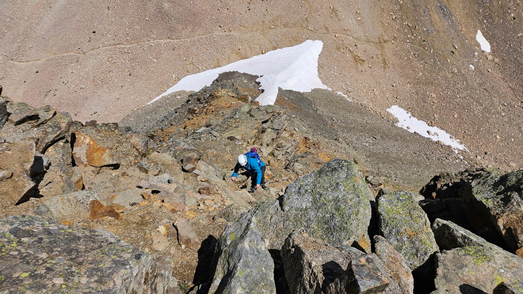
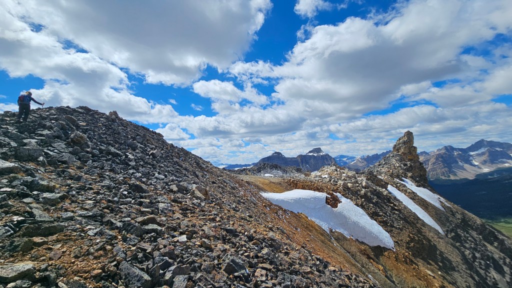
It took us half an hour to drop down into the pass. After crossing a snow patch we stood at the base of The Fang’s scrambling route and charged right in. The way up was pretty obvious to us and a few cairns dotted the way. Compared to Molarstone this was a much more hands-on route, though the scrambling was enjoyable and at a moderate level. This first section was short lived, some 10 minutes or so up broken ledges before the terrain mellowed out into a broader ridge. We resumed the use of our hiking poles at this point. The scenery remained stunning, so like the rest of that day, we took more photos than necessary along the way.
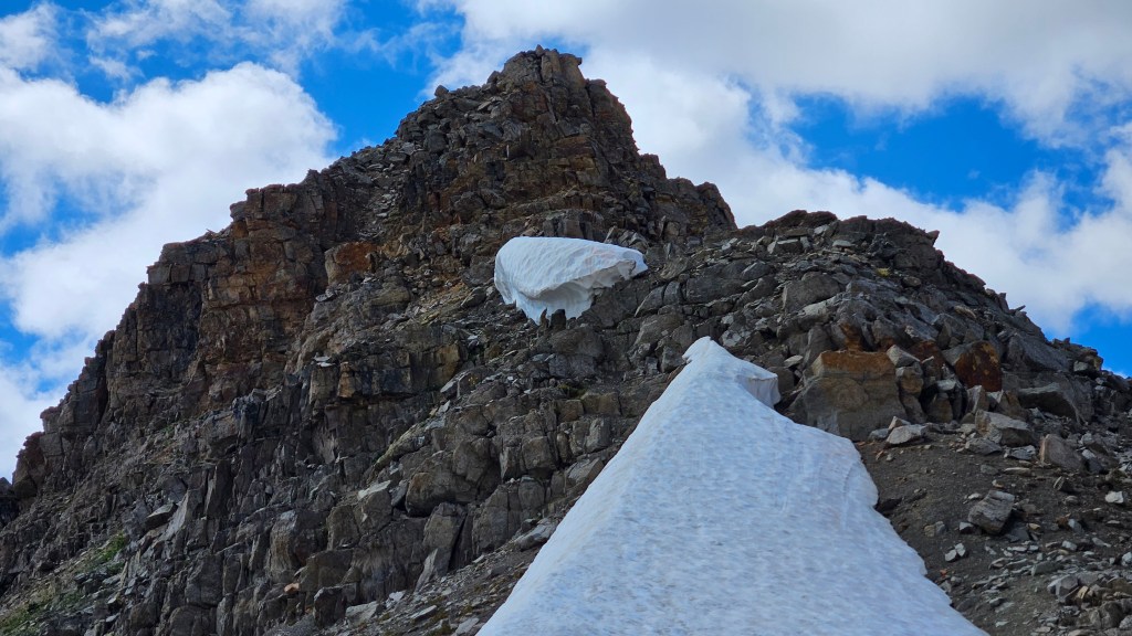
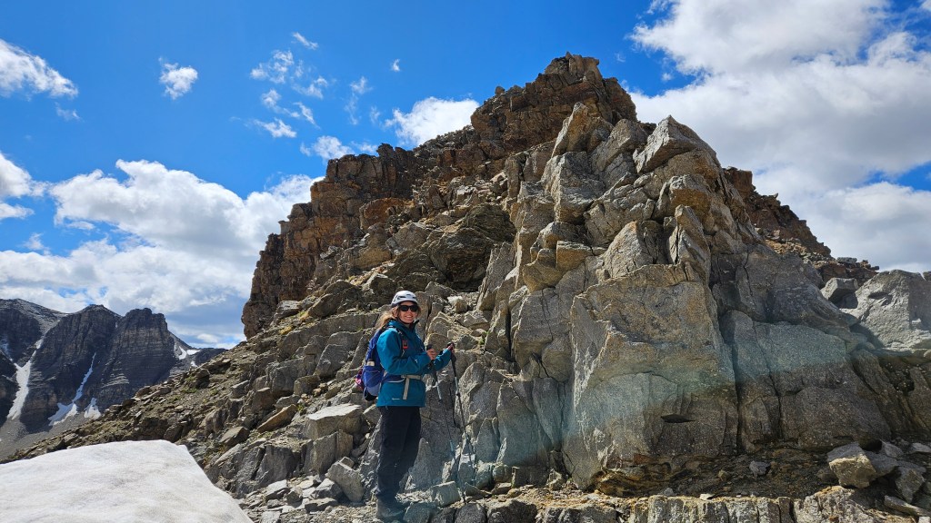
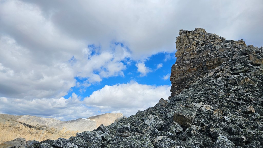
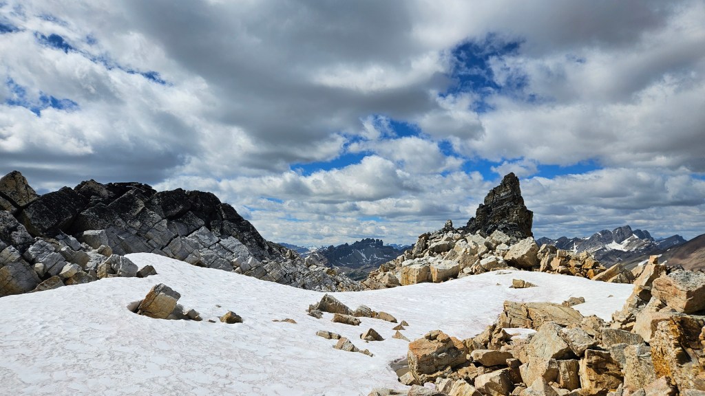
Having topped out onto the broader ridge, we could now see the peak’s summit further along. The trek across the ridge brought us to a very unique feature midway across the ridge – towering pinnacles of rusted quartzite. We knew these were to be expected based on what we read in More Scrambles, but had no idea the scale of them. Equally interesting is that these pinnacles are surrounded by razor thin plate shale… its an odd but fascinating feature!
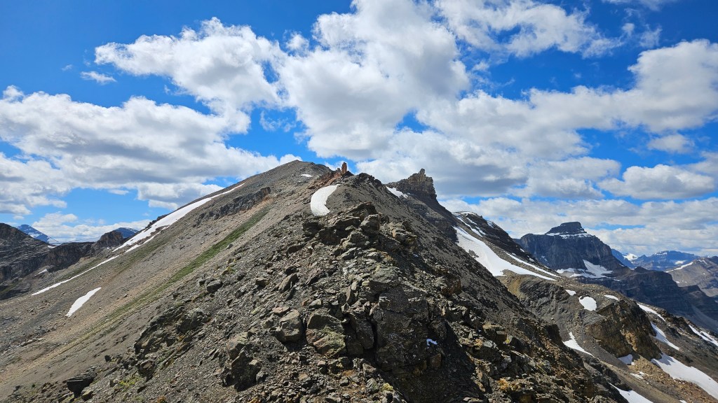
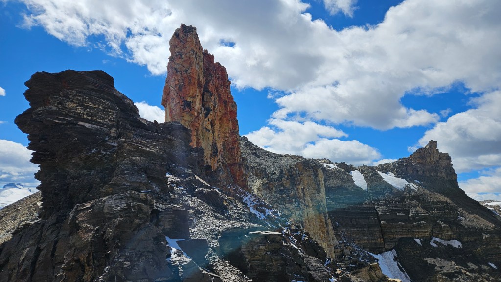
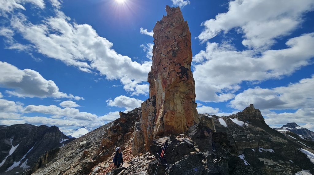
So far this had been a pretty fast ascent. Continuing past the pinnacle, the needle-tooth-like summit of The Fang was close enough to start studying potential ways up. Despite us getting closer, it still look wildly steep and early on it was becoming obvious how exposed things were. As we got closer, the ridge’s geology changed and litter-like shale gave way to blocky quartzite boulders. It was like we somehow teleported from the Rockies and into Roger’s Pass! A few final snow patches helped reduce the boulder hopping as we scrambled our way to the base of the summit.
Initially we approached it from the south and from that aspect it looked much more demanding than 3rd class… more like low 5th. This was our first real hands-on scramble of the season, so maybe we were just a bit rusty with technical scrambling? I attempted a few brief moves but couldn’t commit out of fears of reinjuring my shoulder. Plus, a few notes from Nugara’s description really stood out to me and weren’t matching the terrain in front of me. Notes such as “a staircase of solid quartize blocks… scrambling moves that normally would be difficult seem moderate…”. I certainly wasn’t on the correct aspect of the summit, despite being only 3-4 metres off from the top. Perhaps, I contemplated out loud with Bri, we were not “west” enough and the description did specify the west side.
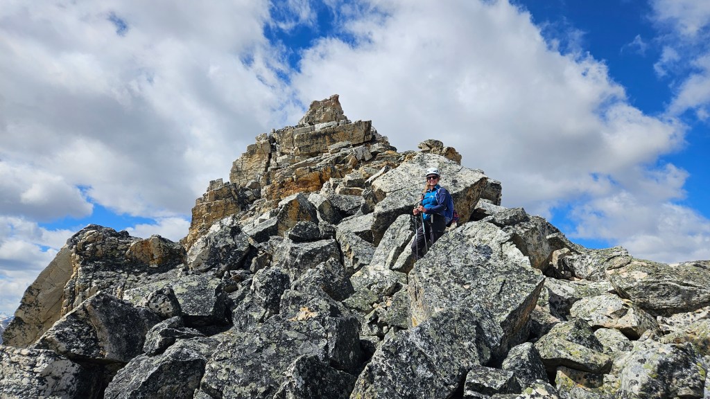
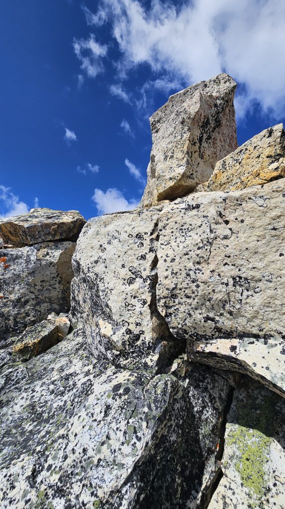
So I backed off the ledge and we slightly back tracked to the climber’s left. And sure enough spotted a large cairn leading to this staircase-like feature. What a relief, we were seconds away on giving up on this one! What remained of the summit block was much more fitting of Nugara’s description so we committed ourselves up. It was definitely exposed – fitting of a difficult scrambling rating – but as advertised the rock was superb quality and the holds were solid. The tip-top was a singular block and neither of us felt comfortable standing on it, so we took turns sitting on it. From North Molar Pass it only took us an hour and five minutes to reach the summit. A final pleasant surprise was discovering yet another pink ammo box tucked neatly away under the summit. While signing it, I peered over the south ledge where I had tried climbing up earlier and boy oh boy am I glad we found the correct route.
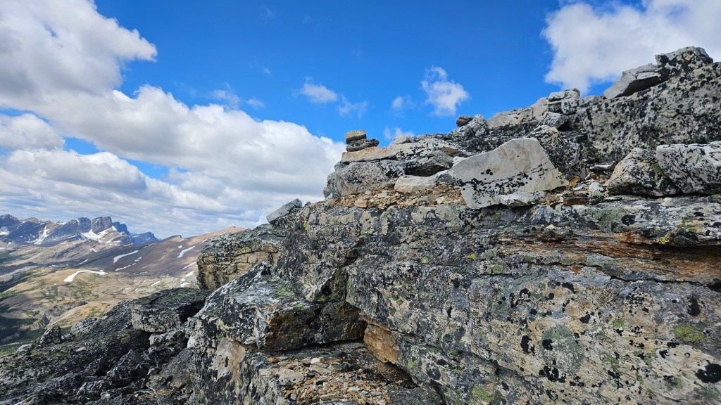
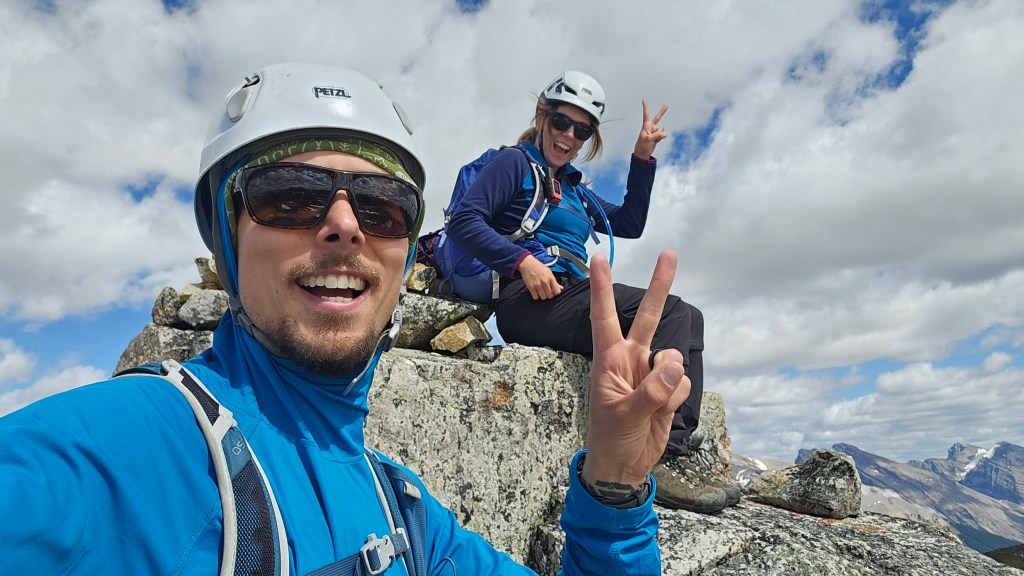
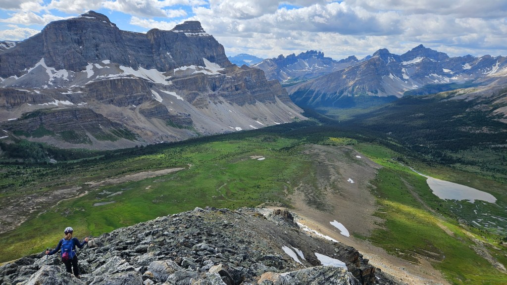
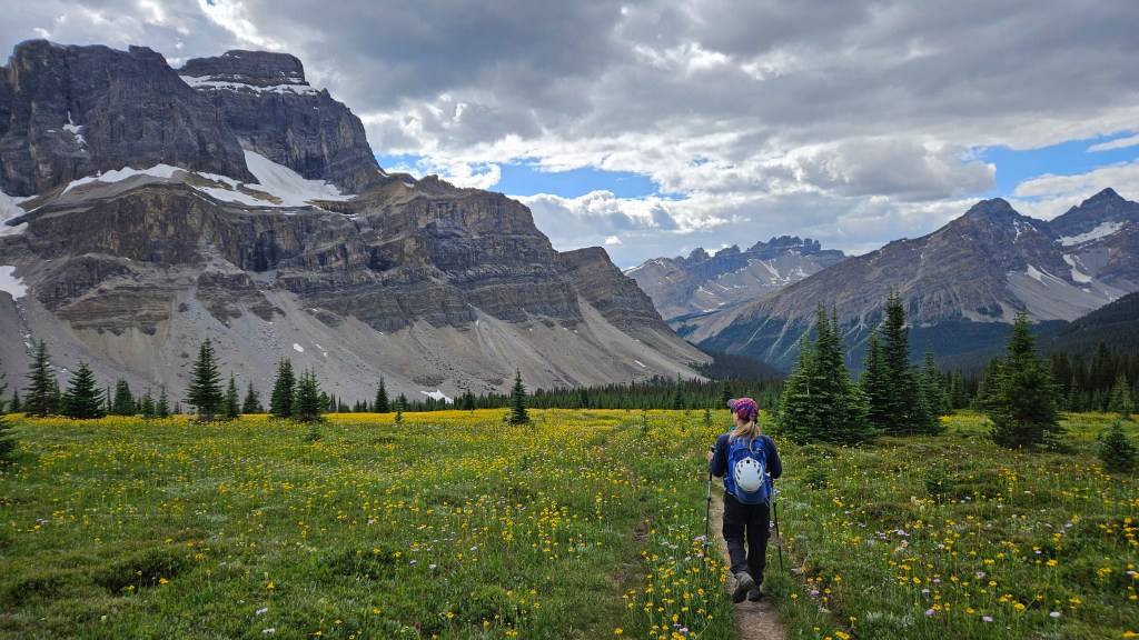
We kept this summit visit brief and discussed our options for return. Either retrace our steps to the north pass, route find our way to the south pass (which gets you a third unnamed peak), or route find down the west ridge back towards the tarn. It was 3:16pm at the summit so we opted for the latter option figuring it would be the fastest and most direct route down. The route finding was relatively straight forward however we did navigate down several large boulders off from the summit. Heading down the ridge was tedious and riddled with rubble… admittedly not the most exciting part of our day. At least we had a clear view our route back to the trail and could even see the wildflowers far off in the meadow. It took us an hour and forty minutes to return to the tarn. I spent a few extra minutes searching for my bear spray which fell out of my pack earlier that morning during our snack break… no luck finding it, likely it was picked up by one of the hikers we saw trekking out from Molar North Pass.
It was a fair distance back along the main trail through the meadows and via Mosquito Creek. Despite it turning into a 10.5 hour day we remained in high spirits the whole back and gleefully exclaimed that this could very well be an all time favourite! We reached the highway just after 7pm concluding our 27.5km day with two very scenic peaks in the bag. 10/10 recommend both peaks, though maybe don’t take a first time scrambler up the Fang.