August 3rd 2026. Icefields Parkway, AB.
Round Trip: 27.5km, 10.5 hours (includes The Fang), Elevation Gain: 1200m (Molarstone only)
Easy/Moderate Scramble via NW Ridge
This was an INCREDIBLE day trip that Bri and I took directly from Nugara’s More Scrambles book and WOW. Having previously done a few of the neighboring peaks in the Mosquito Creek area we thought we had a pretty good idea of what this area had to offer. So, going in with that mind set, we were blown away by how stunning the North Molar Pass area was, specifically when viewed from along the NW ridge. After the traverse we dropped down to the pass to continue onwards to another peak called The Fang, which will get its own trip report.
After a somewhat demoralizing trip up Storm Mountain the previous weekend, we needed an “easier” outing. Icefields Parkway summits are always a tempting option given the minimal tree line and well established trails leading to many of the scramble-able peaks. Nugara’s lofty description of Molarstone Mountain ticked all of the boxes for us, and we opted early on to scramble the NW ridge as to make a loop. We were undecided about The Fang at first but ended up enjoying Molarstone so much that we were happy to extend the day.
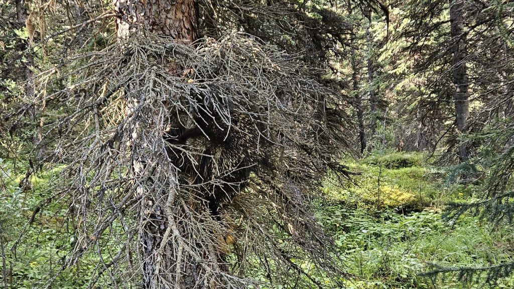
We managed to start from the Mosquito Creek trailhead at 8:15am hiking at a brisk pace. There was a sense of excitement that morning; we were exploring a somewhat new-to-us area in that neither of us had been into this valley before but had enjoyed views of it from Noseeum, Bearskin, and Mosquito Mountain in recent years. Plus the entire approach was along groomed, open, maintained trails. Our first few kilometers were relatively uneventful until a rustling in the tree startled us. A Golden Porcupine was climbing up a tree next to the path, something I had seen before but was a first for Bri to see in person. Their climbing technique is very sloth-like!
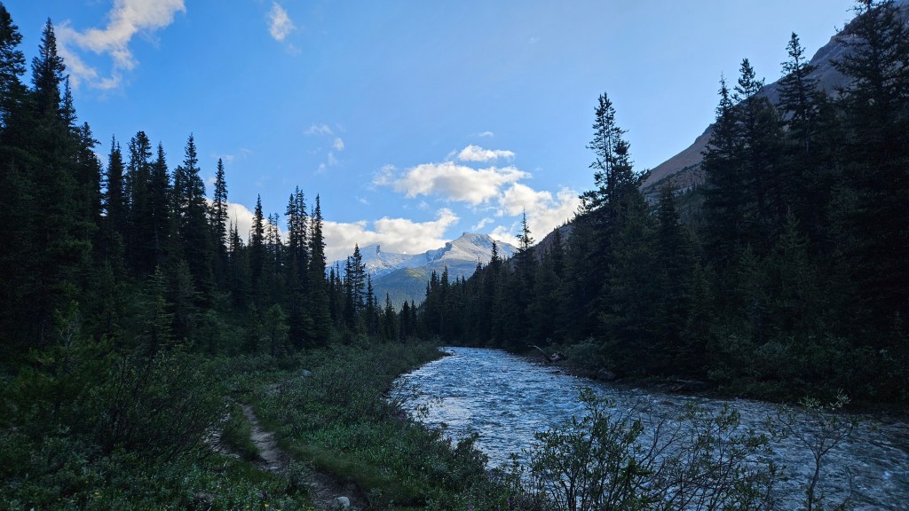
We continued past the campground shortly after our porcupine sighting and continued the trail hiking under the impressive northeast face of Noseeum Peak. The trail had narrowed but was still well defined as we reached an important sign-posted junction at 10am. This was the split for accessing North Molar Pass, at which we took the left fork. Another twenty minutes along the trail saw us exiting from the trees and entering a stunning wildflower meadow in full bloom. The meadow itself is worth hiking in for! Both Molarstone and The Fang were now visible, framing the valley’s southeast corner.
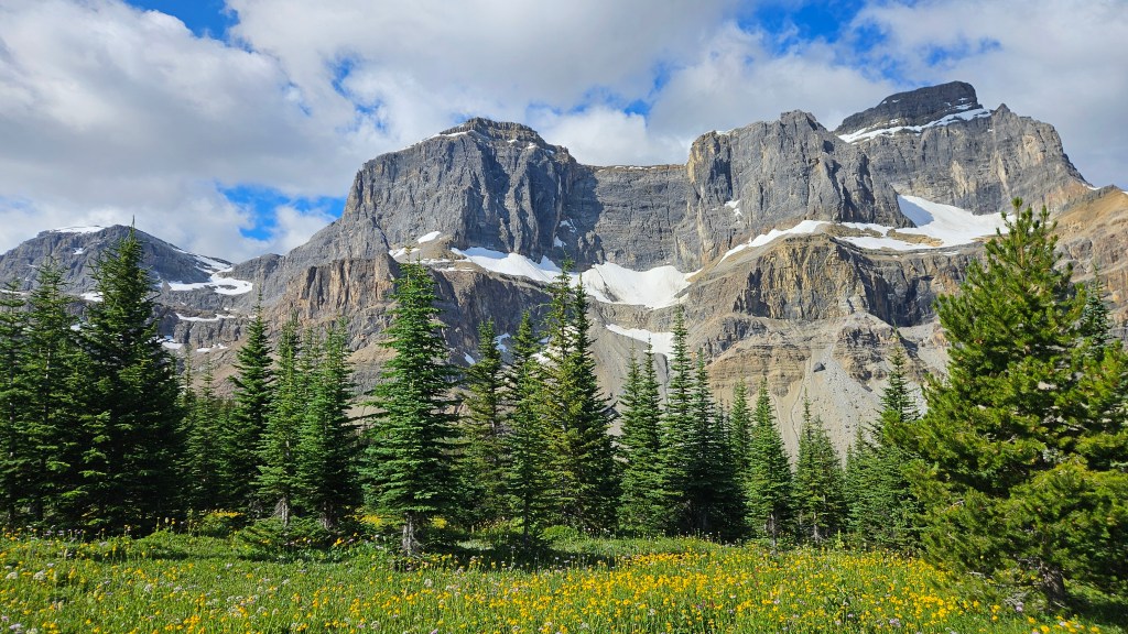
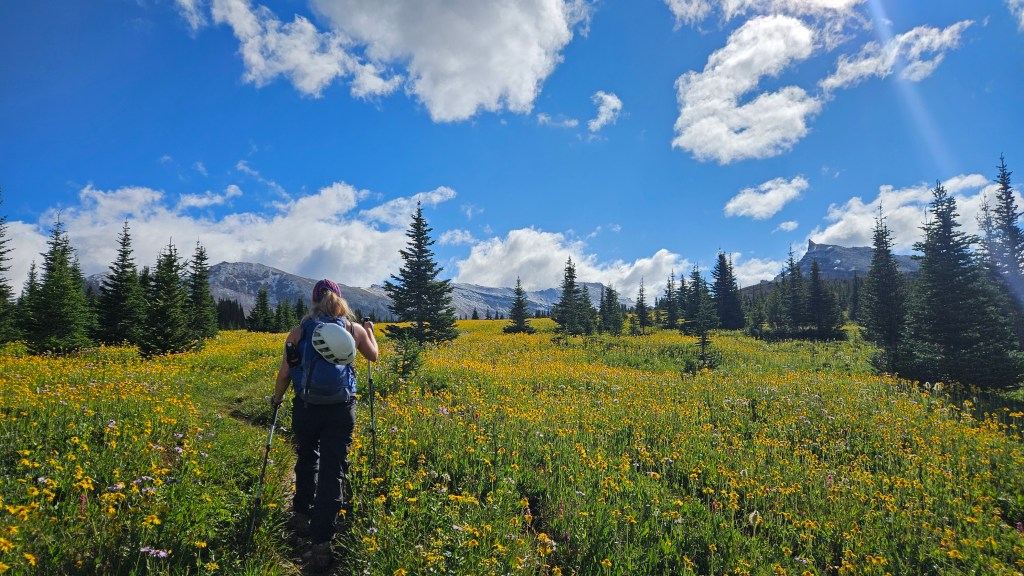
As we continued along through the meadows, with several photo ops along the way, we reaffirmed our game plan of traversing the entire NW ridge to reach Molarstone’s main summit. Getting closer to the tarn (a major landmark in the approach) we noted how close The Fang was and were intrigued by the needle-like summit. In a no-fuss attitude Bri and I agreed we were both open to including The Fang in the day’s itinerary but would first focus our energy on the traverse of Molarstone as that was the main objective. There was also some concern regarding the prevalent dusting of snow that coated both peaks, which caught us off-guard given it was the first weekend of August!
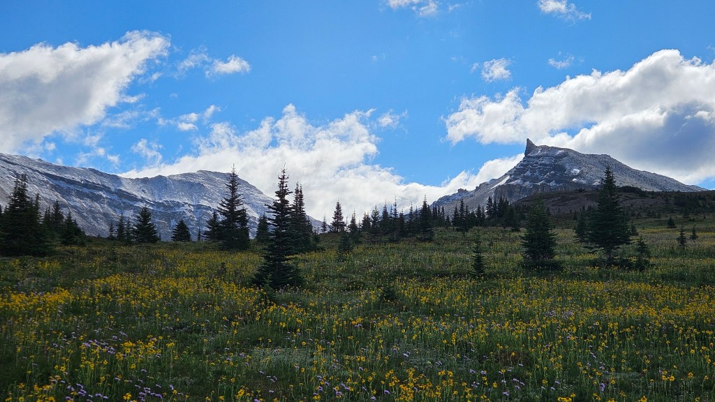
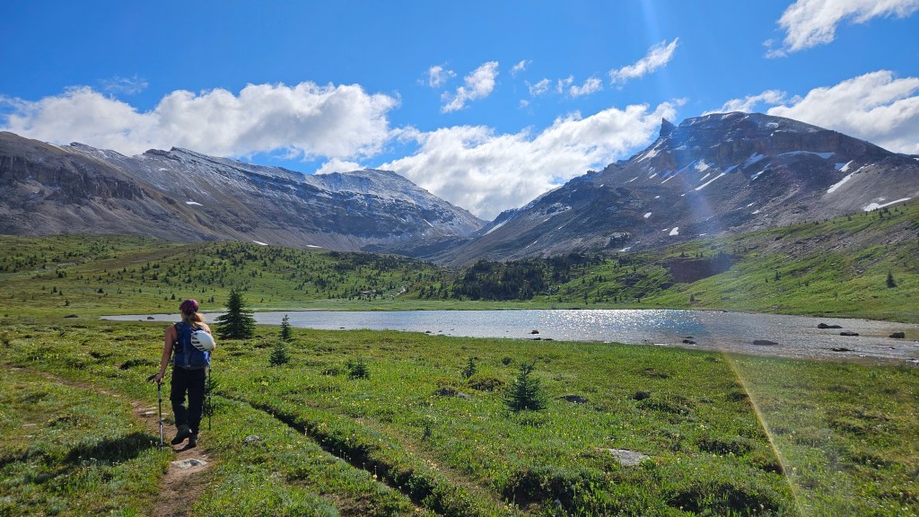
We took a decent break at the tarn before splitting off of the main trail. If one is pressed for time and only after one peak in the trip, it would be faster to continue along the main trail to North Molar Pass and make your summit bid from the saddle. We had made good timing to the tarn; 2 hours, 20 mins from the car, and wanted to see if the snow on the Fang would melt having read Nugara’s mixed rating of moderate-difficult scrambling. Branching left from the main trail, we remained committed to scrambling the NW ridge of Molarstone.
From the main trail we aimed for a low shoulder at the northernmost end of the ridge, hiking up a natural ramp. It was indeed a slog as forewarned in Nugara’s book but we had clear skies and good views to amply reward any suffering along the way. So far nothing technical in terms of scrambling up to the ridge itself, just a steep hike up. Early on we were impressed by the increasing views of Mosquito Mountain’s south ridge, and of the increasingly striking Fang across the valley from us. We kept our side quests to a minimum but stopped at one impressive set of pinnacles along the way. The slope became more of a scramble as we crested onto the ridge and up onto the north summit.
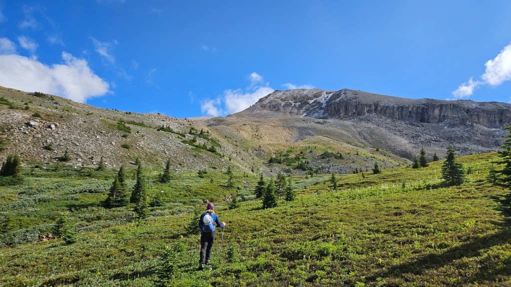
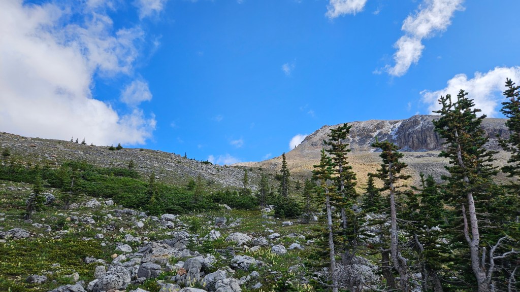
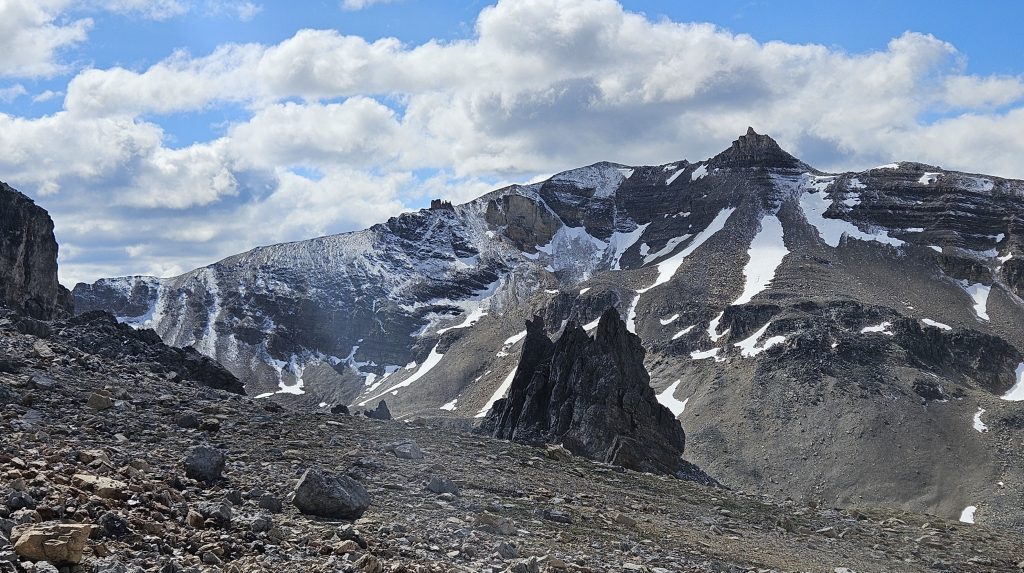
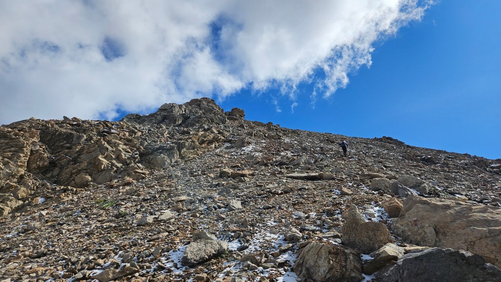
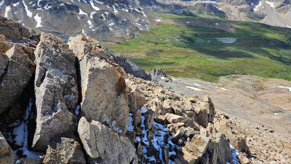
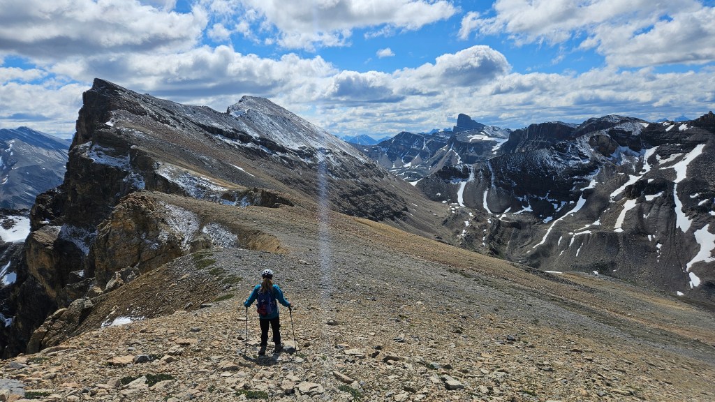
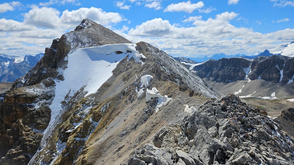
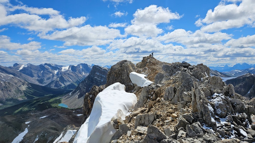
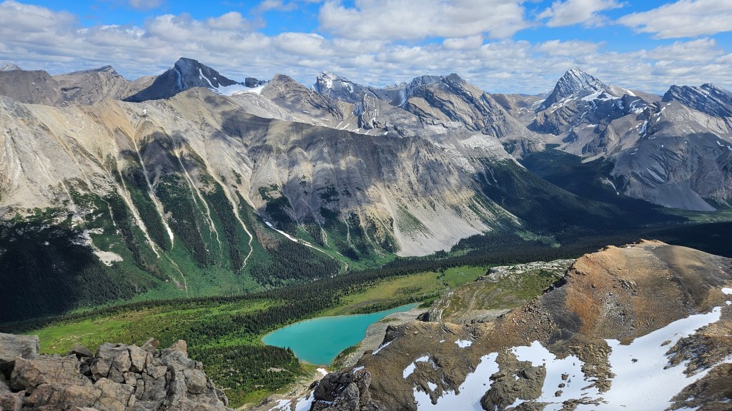
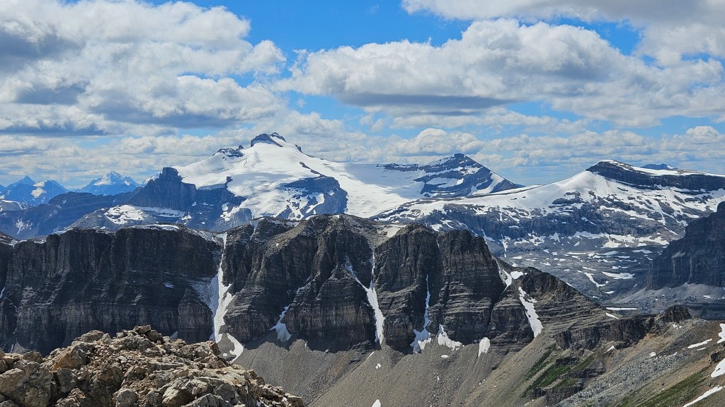
Brief, easy to moderate hands on scrambling brought us up to the north summit around 11:50am. Most (but not all) of the elevation had been gained at this point and despite the summer sun it was notably chilly up top. After catching our breath for a minute we promptly started our traverse of the ridge. The views were damn impressive the whole journey and I’m very grateful to have done this under clear skies. Of note were the views of nearby 11’ers Mount Hector and Mount Willingdon. Later on the main summit, the overhead views of Fish Lakes proved to be a cherry on top.
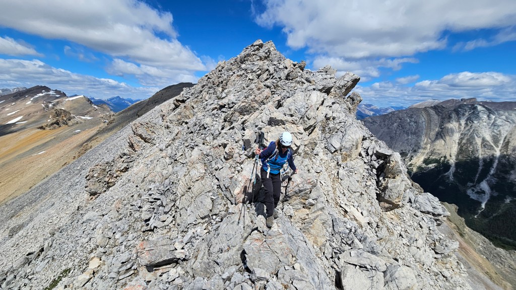
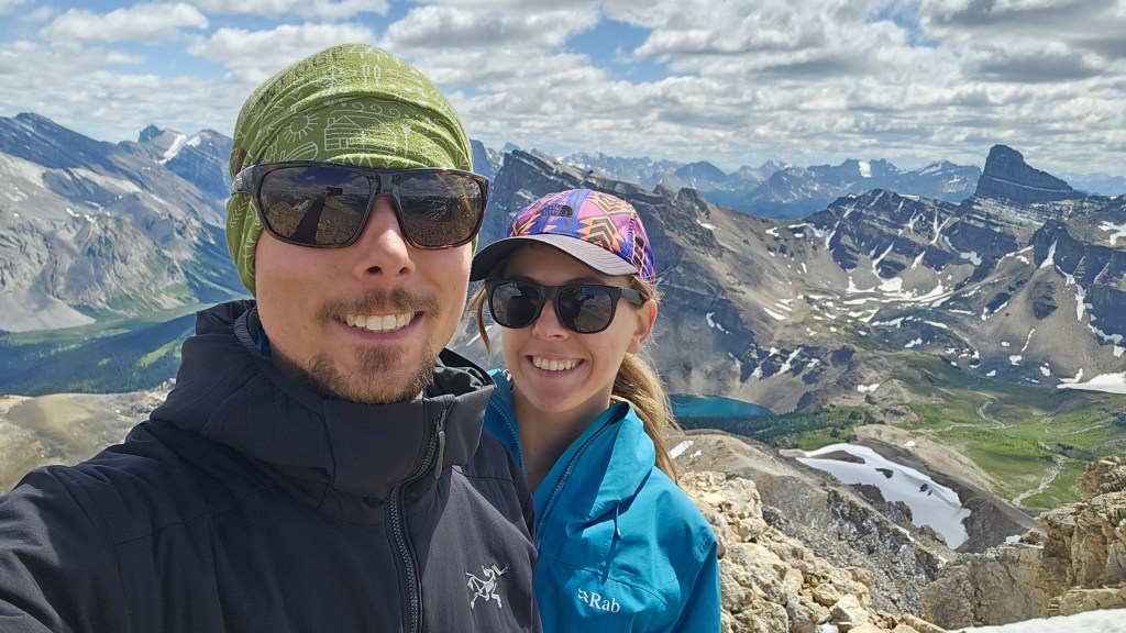
The traverse itself was mostly hiking, with the odd section of brief easy-ish scrambling, and a couple very short sections of exposure. There was a fair bit of elevation loss and regain along the way, which explains how +1200m vertical was accumulated. It took us 90 minutes to traverse over to the main summit at the ridges south end, which unlike the north summit has an infamous pink ammo box register at the summit cairn. We took our time with the traverse and numerous photo breaks along the way. In total it had taken us roughly 5 hours from car to summit, so we decided that there was ample time to continue our day by going for The Fang next. Had we looped back off the summit, I suspect it would have been an 8 hour day car-to-car. Our extension made for a 10.5 hour day, with The Fang being a more technical scramble.