September 2nd 2026. Columbia Icefields, AB.
Round Trip: 13 Hours, 14km. Elevation Gain: 1550m.
North Glacier: Mountaineering PD; easy/moderate scrambling.
This ended up being the “big one” of my summer peak bagging season. I joined my friend Nathan and his buddy Arne for this trip. The two lads had just climbed Mount Hector on August 31st and I had just come back from three days in Skoki with Bri, which included scrambling Oyster Peak and Cyclone Mountain. It was a short turn-around but one that was expected, I knew I’d be joining Nathan and Arne for some late summer mountaineering that week. Sept 2nd wound up being the best weather window that week, and it was a short window. Previously in 2017, Scott and I had been up via the same North Glacier route with a disorganized party of 5, resulting in only half the team summiting. It was a frustrating experience for all involved, and being one of the party who didn’t get to summit that day, returning to climb Athabasca again has always been in my back-pocket.
I left Golden around midnight, grabbed gas and drove across Yoho in the pouring rain. This had me on edge, night driving in the rain is a nightmare for me as I have astigmatism in both eyes. Thankfully there was minimal traffic on the road at these late hours. I seemed to be skirting a wet weather system and briefly escaped it at the southern end of the Icefields Parkway. It was clear here, thankfully so, as I had to swerve around a porcupine and stop for several elk near Peyto Lake. I believe there was a deer that likewise ran out in front of me near Mistaya… the wildlife was certainly keeping me on my toes.
I arrived at the trailhead’s parking lot near the junction of Snocoach Rd and Glacier Rd and parked next to Nathan’s pathfinder. I was slightly early, pulling in at 2:45am, intentionally early so I could boil up an instant coffee and enjoy some breakfast while gearing up. Just as I sparked the Jetboil and made acquaintances with my new friend Arne, the rain I drove through in Yoho caught up to us. It POURED rain on us as we geared up and sipped on our instant coffees. Mountain Weather Forecast had shown a break in the system around 6am lasting until till 4pm and we were banking hard on that! Cause at 3am it wasn’t looking great.
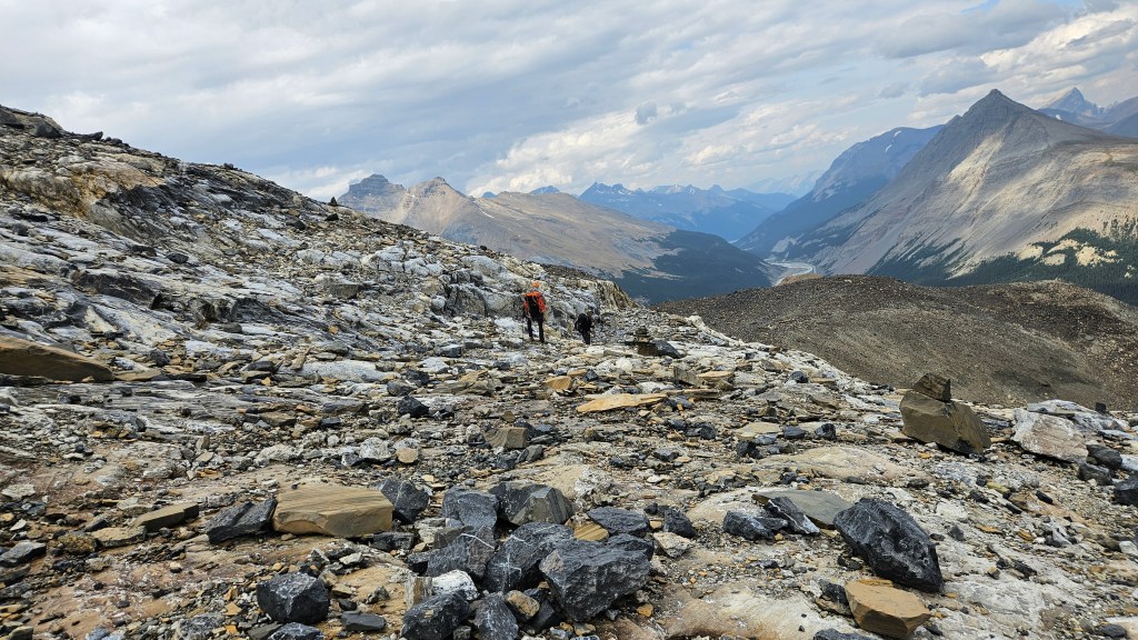
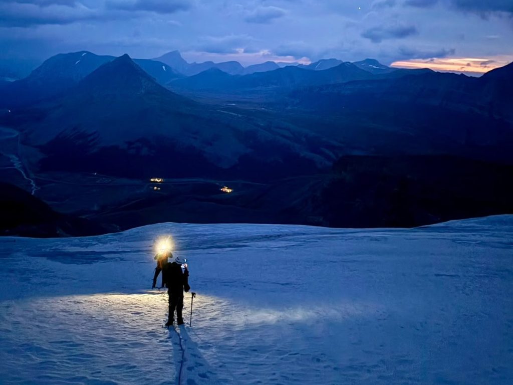
We left the parking lot officially starting at 3:39am, a smidge later than planned but hey that instant coffee worked fast while an outhouse was still available! The rain was still pissing down on us as we plodded along the Snocoach maintenance road. Thankfully one of the guys had the route line downloaded off Strava or AllTrails; the cairn indicating the start of the route was hard to spot by headlamp in the pouring rain. It continued raining for the first hour of our scramble up the long moraine towards the edge of the North Glacier. The rain finally let up towards 4:30am and we could see patches of clear stary sky as the clouds broke up. We could also feel the wind picking up, warm gusts greeting us as we scrambled up towards the ice.
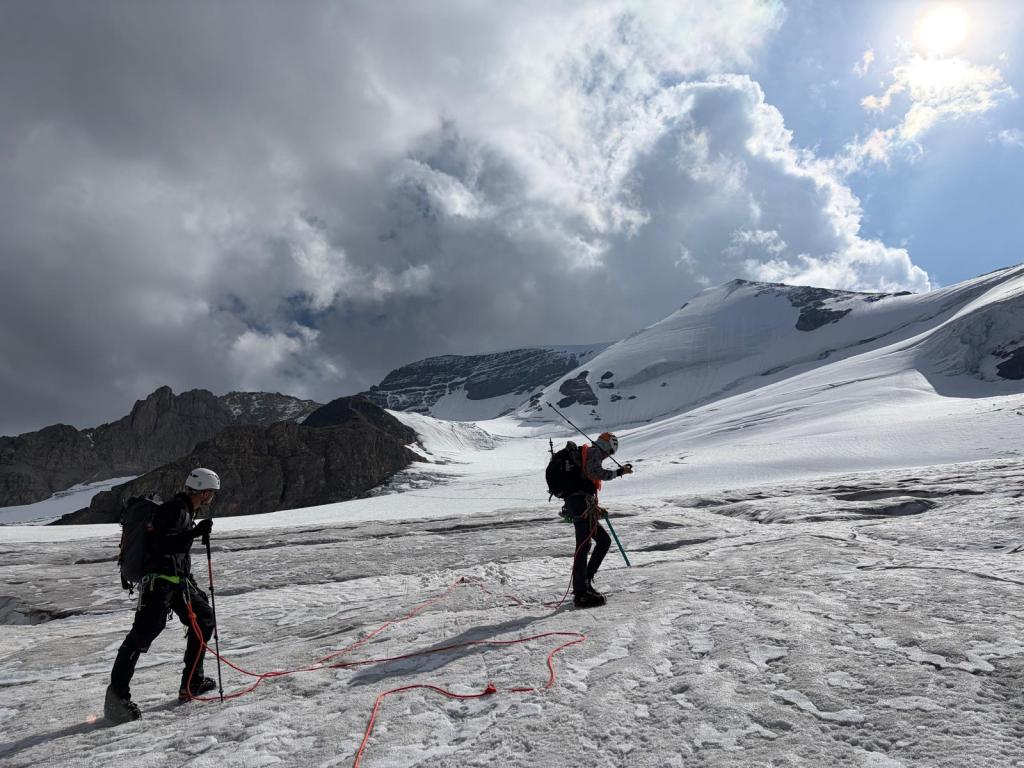
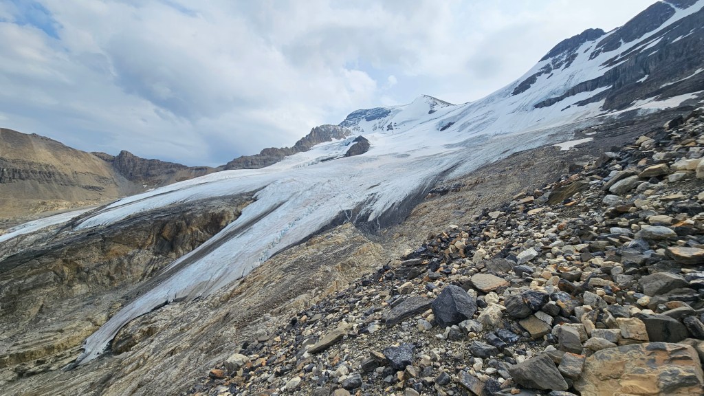
By 5:30am we were kitted up with crampons and rope, ready to tackle the glacier. Visibility was slowly improving as we started our traverse, and already we found ourselves navigating over open crevasses. In the current era of climate change and hotter summers, the mountain glaciers are melting fast: this was a much different glacier compared to 9 years ago. We were regularly jumping over open crevasses and lunging over suspect snow bridges. Certainly more crevasses on this trip compared to 2017. Another key difference between trips, though I attribute this to the limited weather window, was how much quieter the route was on this morning. We were seemingly the only ones there – whereas in 2017 there must have been over twenty other alpinists along the North Glacier. Earlier in the morning we had seen a set of head lamps and assumed the party was following us, we later met them in the parking lot and learnt they had instead climbed Andromeda.
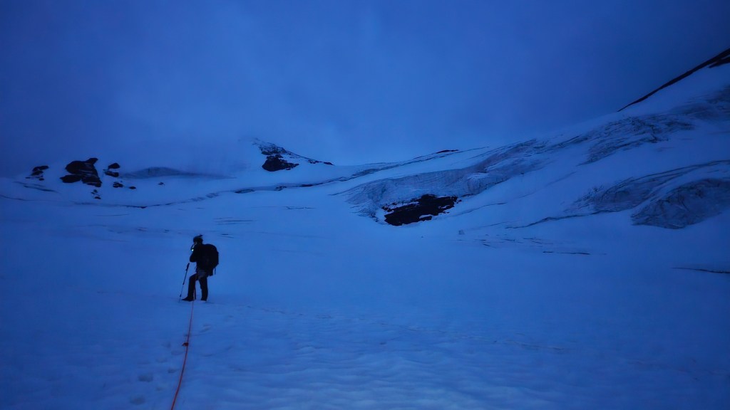
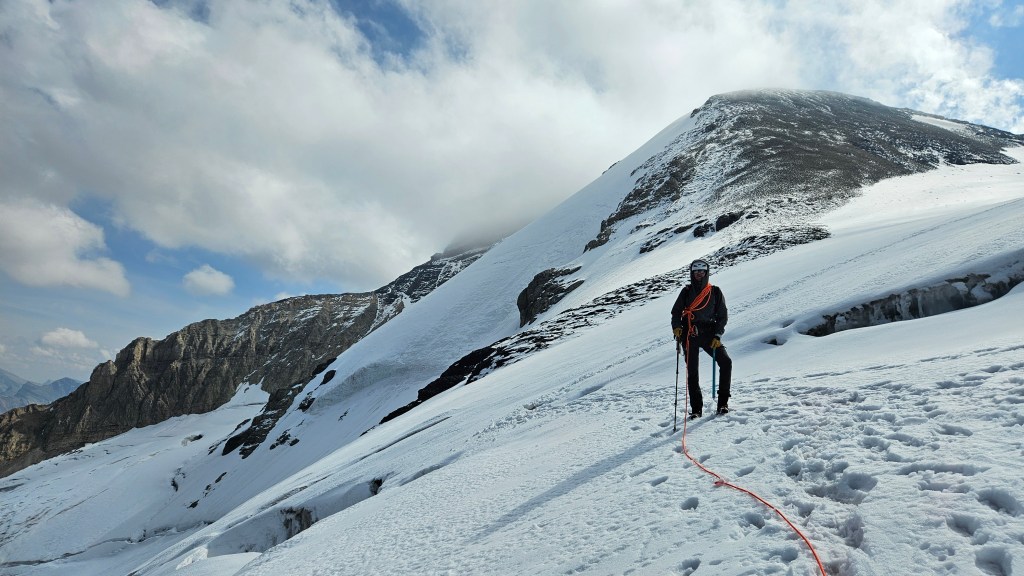
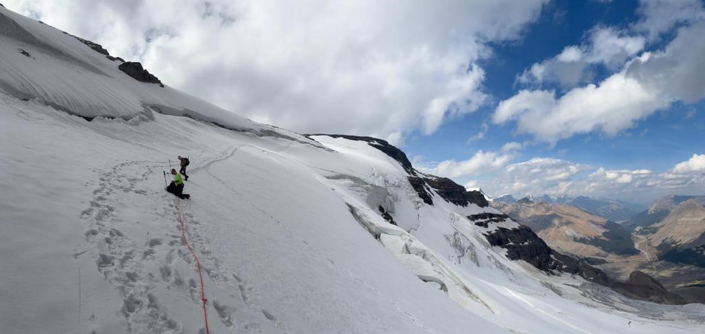
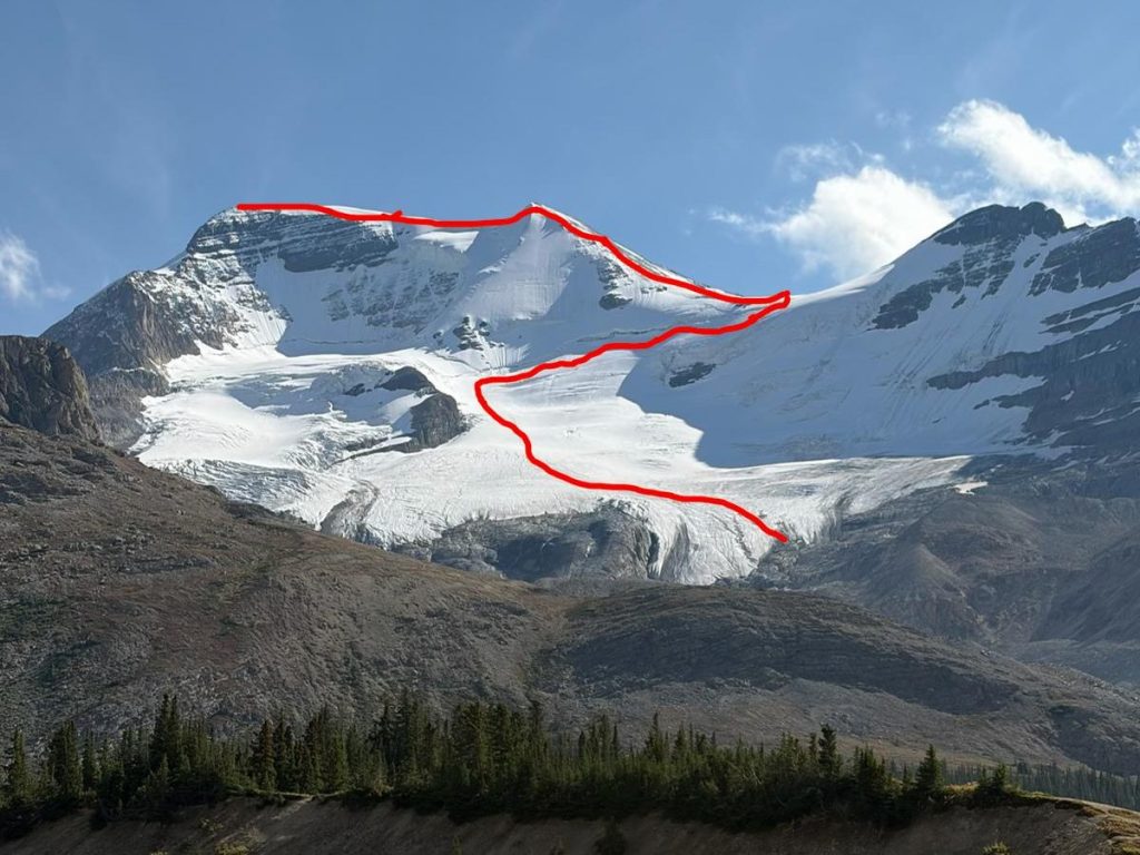
We took our first real break of the day just before the traverse underneath the Silverhorn. This was a much needed opportunity for second breakfast and to de-layer, it was alarmingly warm but at least the dry weather was holding. From where we took our break there were at least two different tracks across the ledge, one veering to the climbers left then hooking right, and a second that cut across the slope diagonally to the climber’s right. We went with this second option and regretted our choice, this corner of the slope ended being heavily crevassed and we got some good jumping practice in. We eventually abandoned this line and had to slightly trend left to join the other track. Back on the main track we traversed the ledge under Silverhorn’s bergschrund and noted the down-slope exposure overhanging the North Glacier. This would be a critically bad spot to take a fall, so we dialed in and moved with purpose along here.
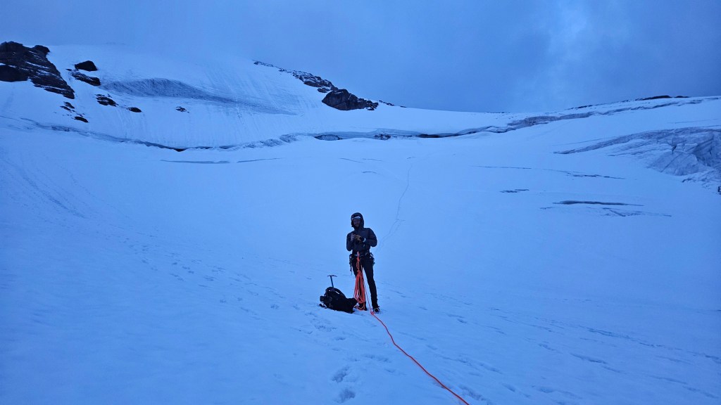
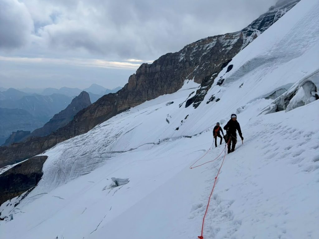
The final stretch of the ledge ended up being a narrow section of slope passing between two large man-eater sized crevasses. Once we switch-backed through this we were up on flatter terrain and now facing the start of the north ridge over the Silverhorn. We were greeted with a chilly blast of wind as we climbed off the ledge. Turns out we had been shielded from the weather while on the North Glacier. The clouds were moving fast indicating that the winds would be stronger higher up, and the summit ridge was hidden from sight. Traversing against the wind, we decided to take another break on the lower slope of Silverhorn. It had taken us an hour and a half to traverse the ledge and continue up this point, the glacier travel was essentially done and we could see that the next section would be more of a scramble. This was also a much needed opportunity to re-layer, the wind picked up into a steady blast showering us in icy spin drifts. Despite the freezing winds this actually ended up being our longest break of the day – nearly half an hour. It was worth waiting around, there were some promising breaks in the clouds hinting the sun might appear and we remained optimistic that the summit might actually be above the clouds.
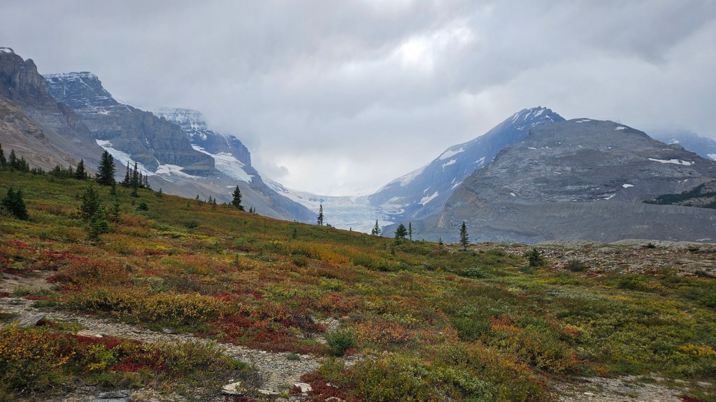
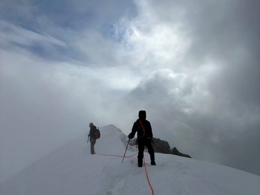
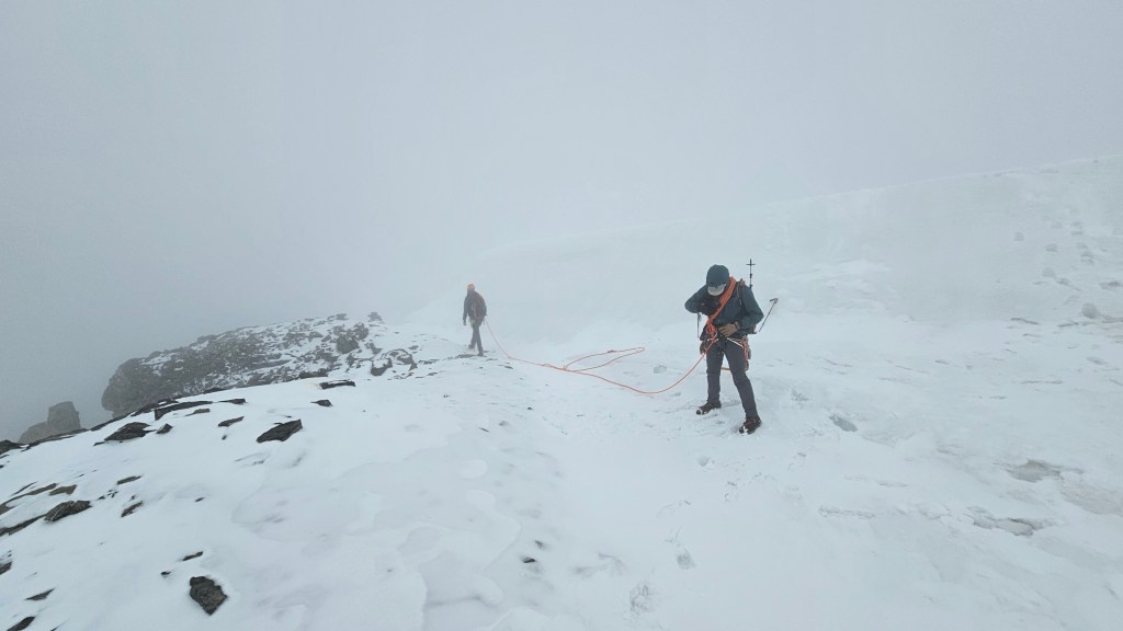
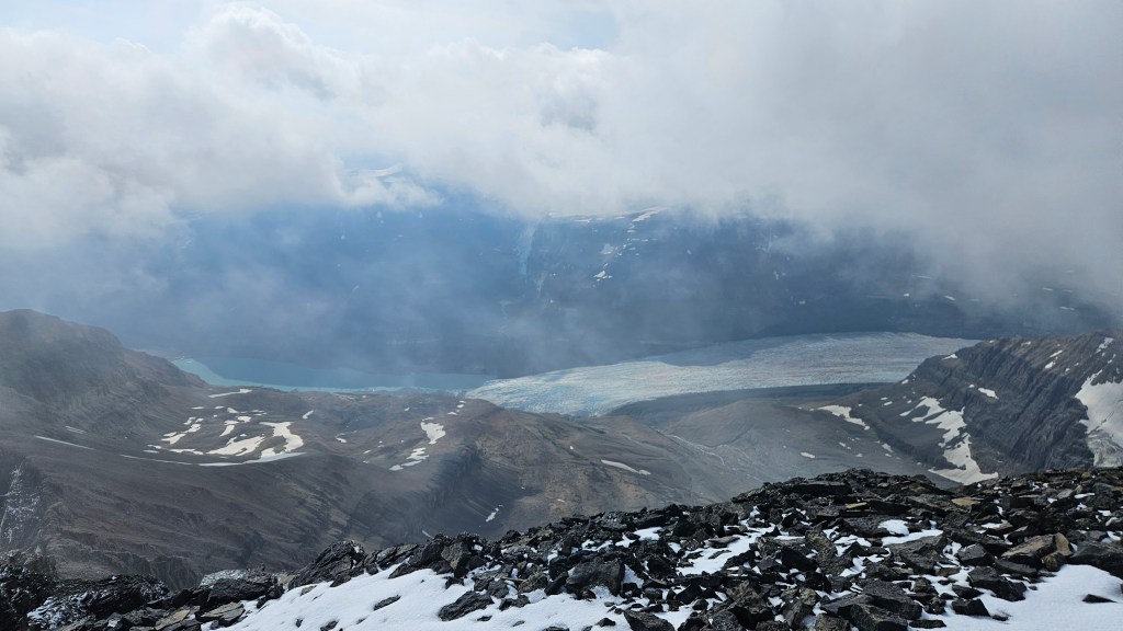
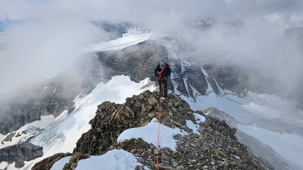
By 9:30am we were scrambling up the beginning of the north ridge and I was now officially further than I had been in 2017. We could see patches of blue sky over the Icefields Centre and indeed could see both the AA Glacier and North Glacier leading back down the valley. Around fifteen or twenty minutes of scrambling brought us up the base of the narrowing summit ridge and we remained hopeful that the clouds would break at any moment. Surely the clouds would break! We could see a pin-hole of sunny blue skies and could even see part of the Saskatchewan Glacier. We took several epic photos of the wind blowing cloud wisps off of the ridge and despite the consistent wind the summit remained in a cloud. Seeing that the ridge was both narrowing and snow covered, plus limited visibility, we roped back up for our summit push.
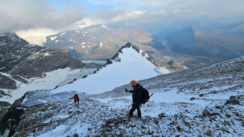
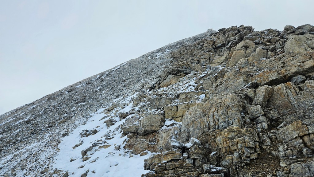
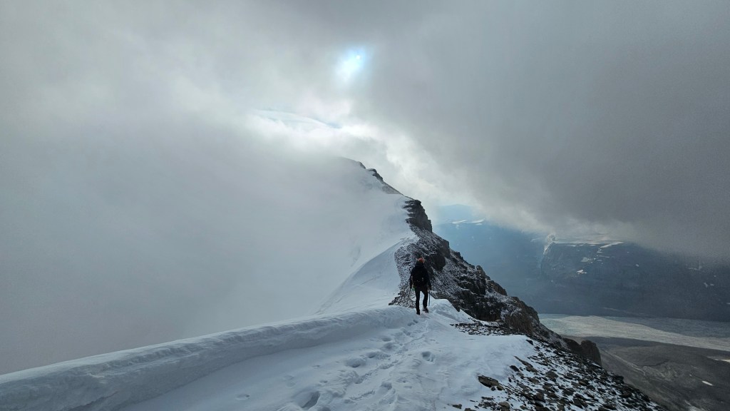
The first leg of the ridge was completely socked it and it made for an eerie ascent. Unable to see much further ahead, all three of us were constantly checking our various apps and watches to get a sense of our elevation. Eventually the snow crested up away from a rubbly ledge, and we traversed past a sizeable cairn. The clouds were somewhat lifting above us and we could see the ridge continued a little ways south. We traversed several meters south then Arne suddenly sunk down to his chest in isothermal snow. And he is a very tall dude, which meant I’d be at risk of sinking to my neck or face. The remaining ridge didn’t appear any higher than what we already covered, so we back tracked to the cairn and a quick height check on Arne’s watch confirmed that we had summited at 10:26am. Wahoo! The clouds lingered off the east side of the ridge crest but we could somewhat see to the west. This summit ledge was also oddly protected from the wind so we hung around for a bit hoping that clouds would lift more. They didn’t and after 15-20 minutes decided it would be best to move on. It was inevitably turning into a long day and we knew that the weather window could close as early as 4pm.
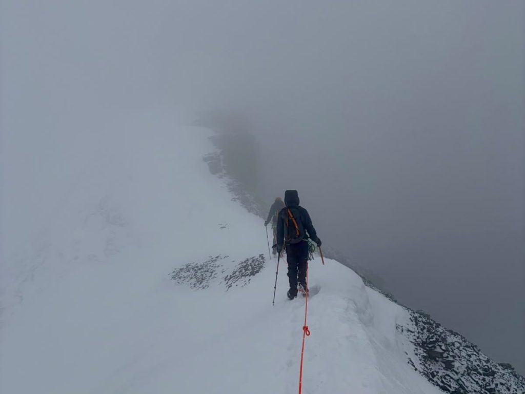
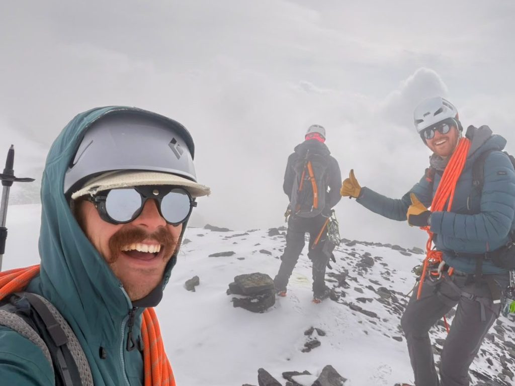
Traversing north off of the summit along the ridge we were headed directly back into the wind. And it was still as cold as it was during our break earlier on. As we came down off of the summit ridge the clouds finally broke and we could feel the warmth of the sun for the first time that day. The summit remained in the cloud, so no doubling back. We continued with our descent back to the bowl, and just above the flat section one of my ankles rolled due to a loose crampon. I self arrested and caught myself instantly, thankfully we were also roped here. It took a couple minutes to recoup – thankfully I was breaking in new mountaineering boots otherwise I’m certain I would have sprained my ankle. After awkwardly limping down the slope we took a quick break so that I could correctly tighten up my crampons and do a few gear checks before traversing the ledge under Silverhorn. Thankfully that proved to be our only significant near-miss of the day.
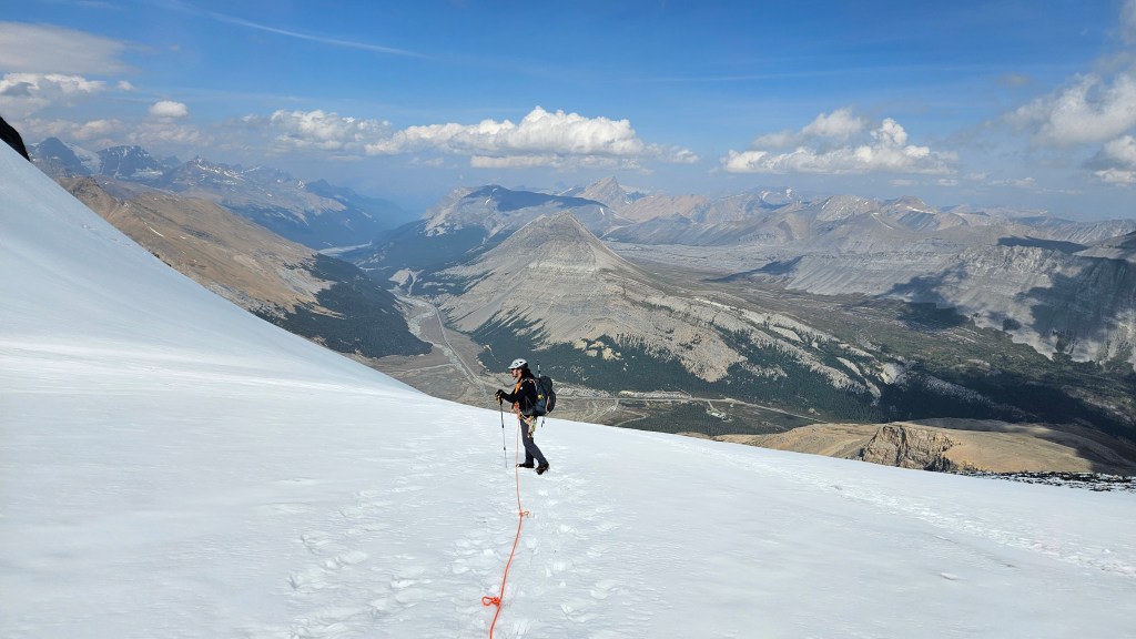
Heading back down onto the ledge we could feel it was turning into a really warm afternoon. We decided to take a few quick photos before traversing across the narrow exposed sections, which we did without stopping other than testing snow bridges. From there we retracted our steps underneath Silverhorn – arguably the most dangerous stretch of the route due to an overhead bergschrund and exposed icy overhang immediately under the ledge. When we reached our morning break site we all delayered and readied ourselves for the final stretch of glacier travel. It somehow felt longer on return and we had all blissfully forgotten how many crevasses there were down along this stretch.
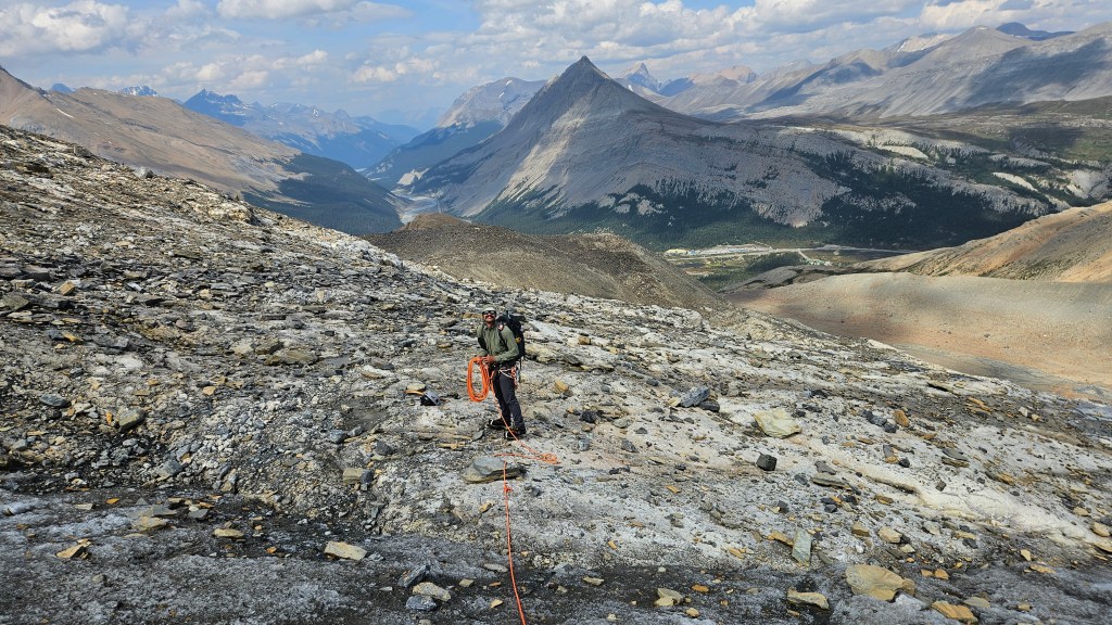
We made it back to the edge of the moraine around 2:25pm and packed away our glacier kit. It was mostly hiking and easy scrambling down the moraine back to the road. I had a very busy three weeks of scrambling leading up to this trip and now on the moraine’s rubble those three weeks caught up to my knees and ankle. I was sore and totally exhausted, and now stumbling from a weak ankle. It made for an anticlimactic end to our day, thankfully I was in good company and the stoke remained high despite our collective fatigue. We returned to the road around 4pm, right on queue with the forecasted end of the weather window. Dark clouds had formed over the Columbia Icefield and the wind was picking up as we returned to a very busy parking lot. The moment I opened my car door a massive wind burst ripped through the valley followed by a pelting of wet hail. We quickly congratulated each other and I began my drive home to Golden… the zero sugar Monster came in very handy. It rained for most the drive down the parkway with moody skies the whole way home. Talk about an accurate weather window! A great day overall and I’m very grateful to Arne and Nathan for having me join them for this classic 11’er.