September 6th 2026. Icefields Parkway, AB.
Round Trip: 8.5 Hours, 18.5km. Elevation Gain: 1085m
Easy Scramble/Mostly Hiking; brief bushwhack
Our good friends Dan and Shirley were keen to join us for a “chill” mountain day trip, and having done a mountaineering trip up Mount Athabasca a few days earlier I too was in the mood for a more laxed outing. After some discussion we landed on Quartzite Peak as a quieter alternative to Cirque Peak. In part, Bri and I were really keen to revisit the Mosquito Creek area after an amazing day doing Molarstone Mountain and The Fang in early August. Plus this was a corner of the Rockies that Dan and Shirley hadn’t explored, so it was an easy sell for all of us. I believe we went off of Bob Spirko’s trip report for this trip plus an offline route map from Strava.
This is a fairly straightforward route, even if marginally off the beaten path. The four of us carpooled together from Golden and managed to start at the Mosquito Creek trailhead by 8:40am. It was a cold start to the day, autumn had rolled in early this season and the whole valley dusted in a fresh hoarfrost. We could see early on that the peaks had recently received a light sprinkling of snow too. Luckily Quartzite Peak, much like its adjacent neighbours Ramp Peak and Mosquito Mountain, are hardly scrambles and more so hikes. So the sight of fresh frost and snow wasn’t concerning.
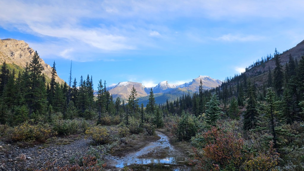
Just before the backcountry campground, our route veered north following the trail used for hiking towards Quartzite Col (i.e. the approach trail for Mt Willingdon). Our junction was landmarked by a small bridge over the stream plus a bunch of freshly sawed tree trunks. This trail was much narrower versus the main trail but still distinct enough to follow with minimal difficulty. One regret however was not wearing gaiters or splash pants… the morning sun had melted all the frost and the vegetation was soaked, and overgrown making this feel like a bushwhack at times. Plus my other hiking boots were in shambles so I was using my old pair from work and discovered very early on that the Gortex membrane was toast. My feet remained soaked the entire day, even with several sock-wring-out breaks.
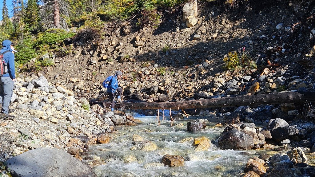
Roughly two hours into our hike and the trail forked down to our right (east) indicating it was time to cross the creek. There was an old log bridging over the creek but we didn’t use: it was slick with algae and frost. We ended up wading across bare foot at various points along the creek. Regrouping, we followed a downloaded offline route line from Strava into the forest (brief but dense bushwhack) before emerging at a second smaller creek. There were cairns at this creek and a somewhat defined track winding up the hillside. We crossed this smaller second creek and ascended this steep forested slope, following cairns most of the way up through sparse trees. Not much of a bushwhack through here just an aggressively steep aspect.
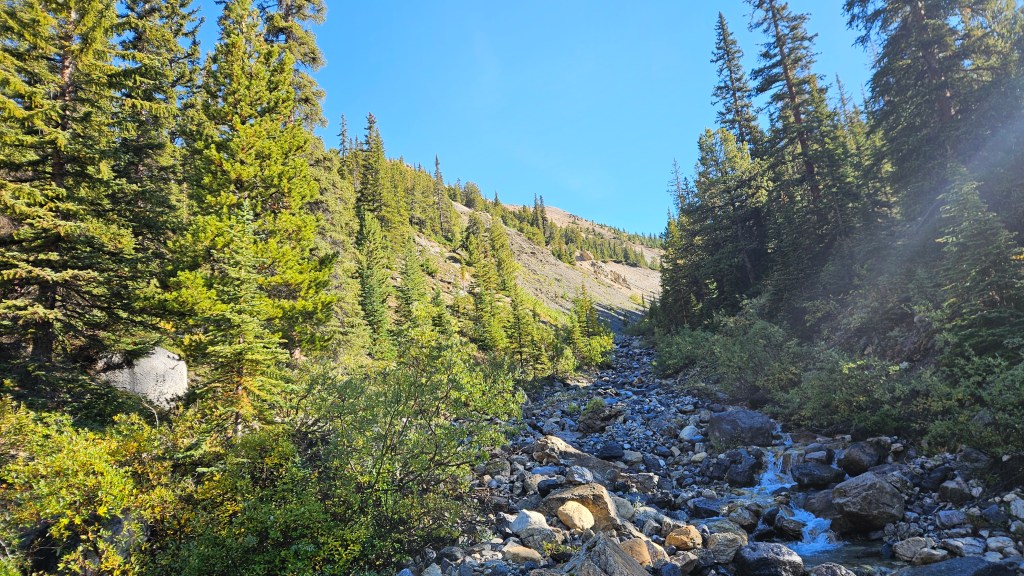
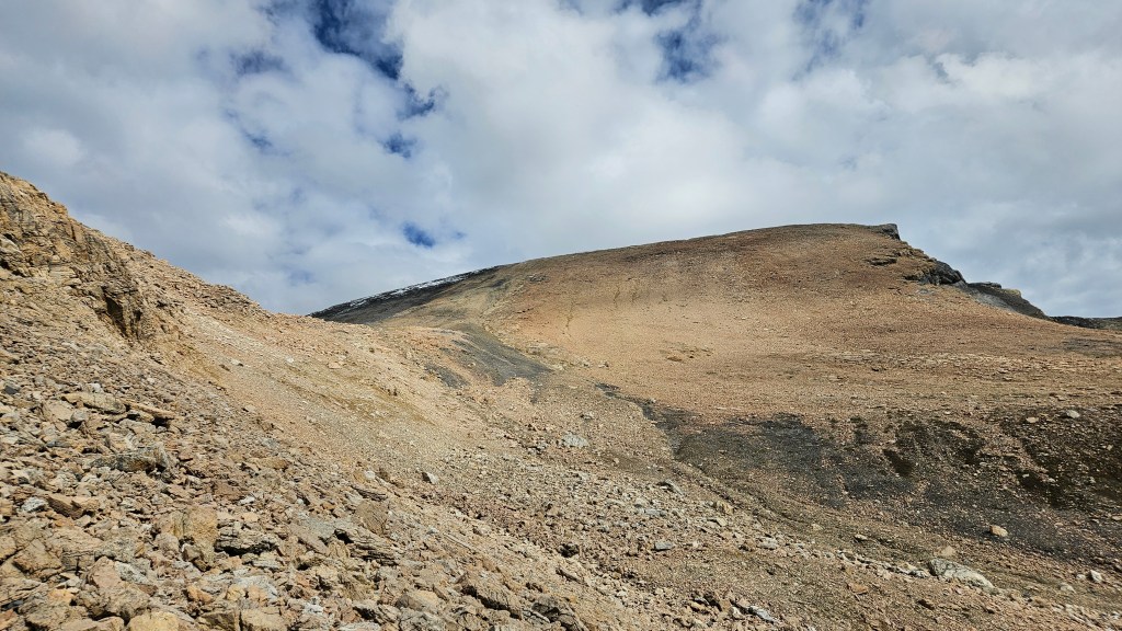
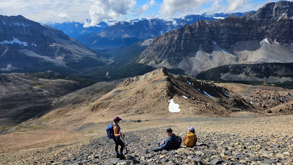
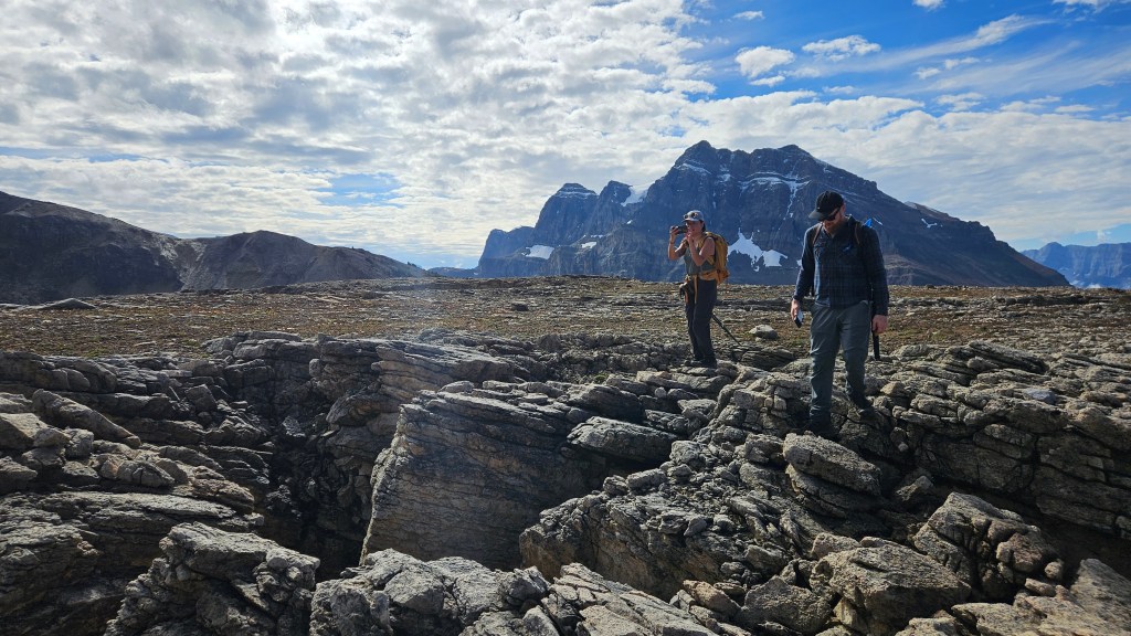
It took us slight over 30 minutes to hike up this hill past the last few trees, and gained the shoulder of the hill around 11:25pm. Already impressed with the surrounding views, we collectively agreed that this trip was a good choice and we could now see most the remaining ascent route up the peak. Essentially a long gradual plateau-turned slope from tree line to summit. Crossing the plateau ended up being one of the more interesting sections of the route: we hiked over deep fissures the shattered rock. Some of these were mere cracks, others deep chasms that you wouldn’t want to trip into! After crossing several of these interesting features we could see the elevation rising above us up into a false summit of sorts. If one tackled this directly it would likely be an easy hands-on scramble. We bypassed it on the climber’s right, side hilling and sometimes boulder hopping our way around the false summit.
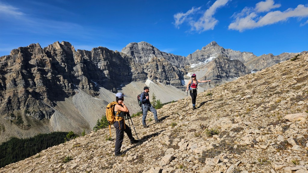
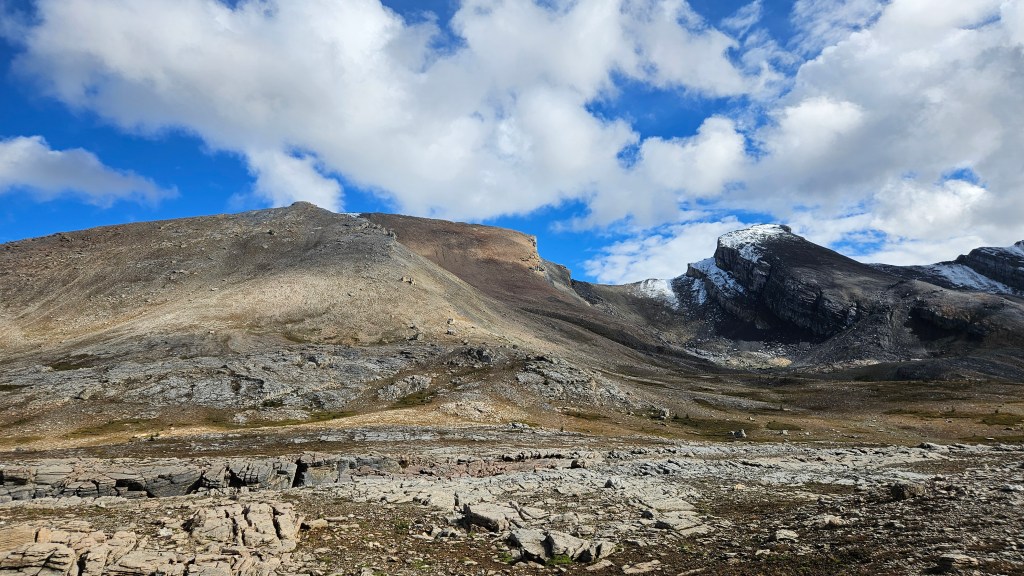
In hind sight, it would have been fine to surmount the false summit; from the north side a natural ramp continues up the southern slope to the peak’s true summit with only some elevation loss along the way. We scrambled up on to this ramp and continued plodding our way up towards the summit, taking a couple breathers along the way (and me wringing out my socks). From the ramp behind the false summit it took us around 45 minutes to reach the top of Quartzite Peak, summiting at 1:12pm.
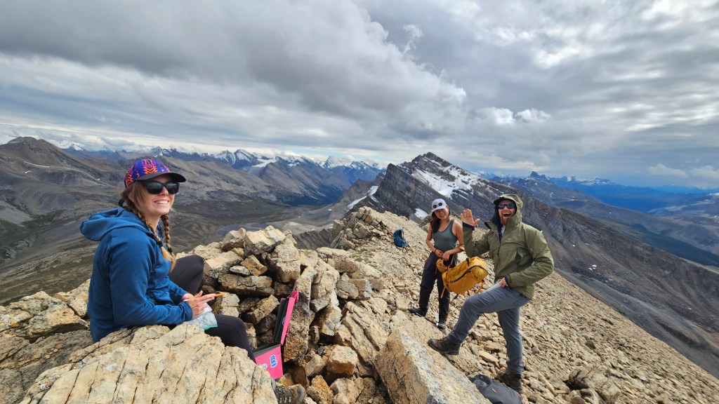
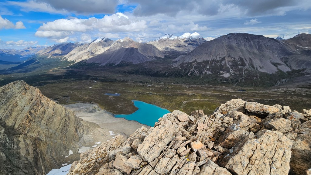
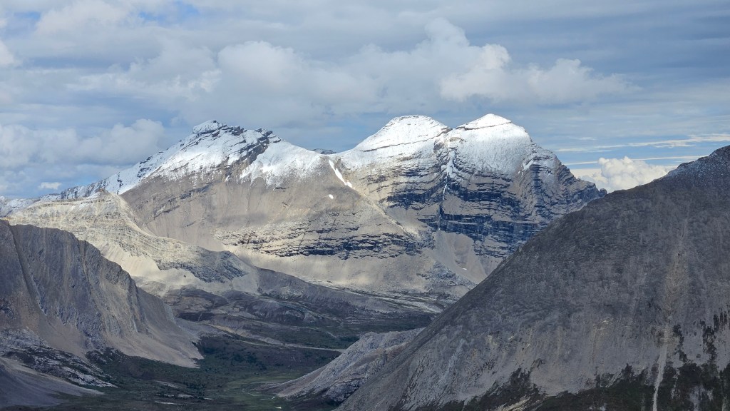
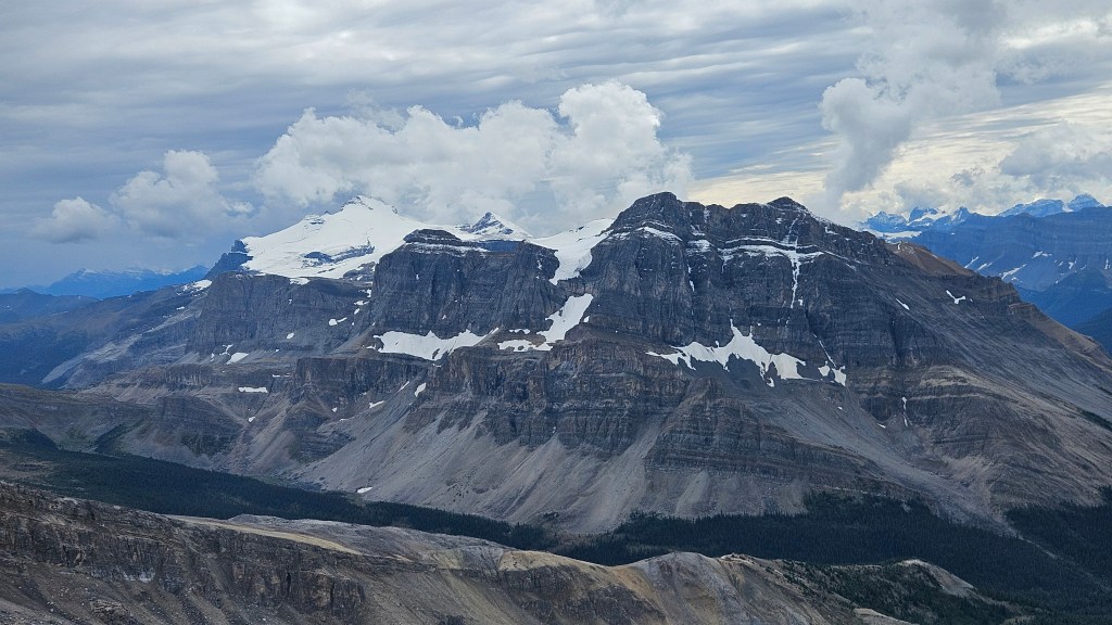
While the views were quite similar to the higher Mosquito Mountain, Quartzite Peak offered us a more direct view of the nearby 11’ers Mount Willingdon and Crown Peak – objectives on the list that year after year never seem to materialize for me. We were also directly overlooking the brilliant turquoise unnamed lake we had seen from Mosquito Mountain in 2025. The stoke was high amongst the group and we enjoyed a well earnt break while on the summit. Unfortunately for us the weather was turning during our summit visit. Darker clouds had rolled in, the temperature dropped, and it was spitting rain, prompting the start of our downhill journey. We spent some extra time checking out the fissures on the way back and otherwise had an uneventful hike back to the trailhead, the sullen skies only producing a light drizzly along the way. A nice relaxing hike up an easy peak in good company!